
Point-to-point hikes
Point-to-point hikes in this collection run from an easy, roughly 8 km valley walk to very strenuous high-alpine traverses and multi-week long-distance routes. All 35 trails end somewhere different from where they begin, so each needs a plan for getting back. Official seasons span spring to fall, dry-season windows, and a few year-round options.
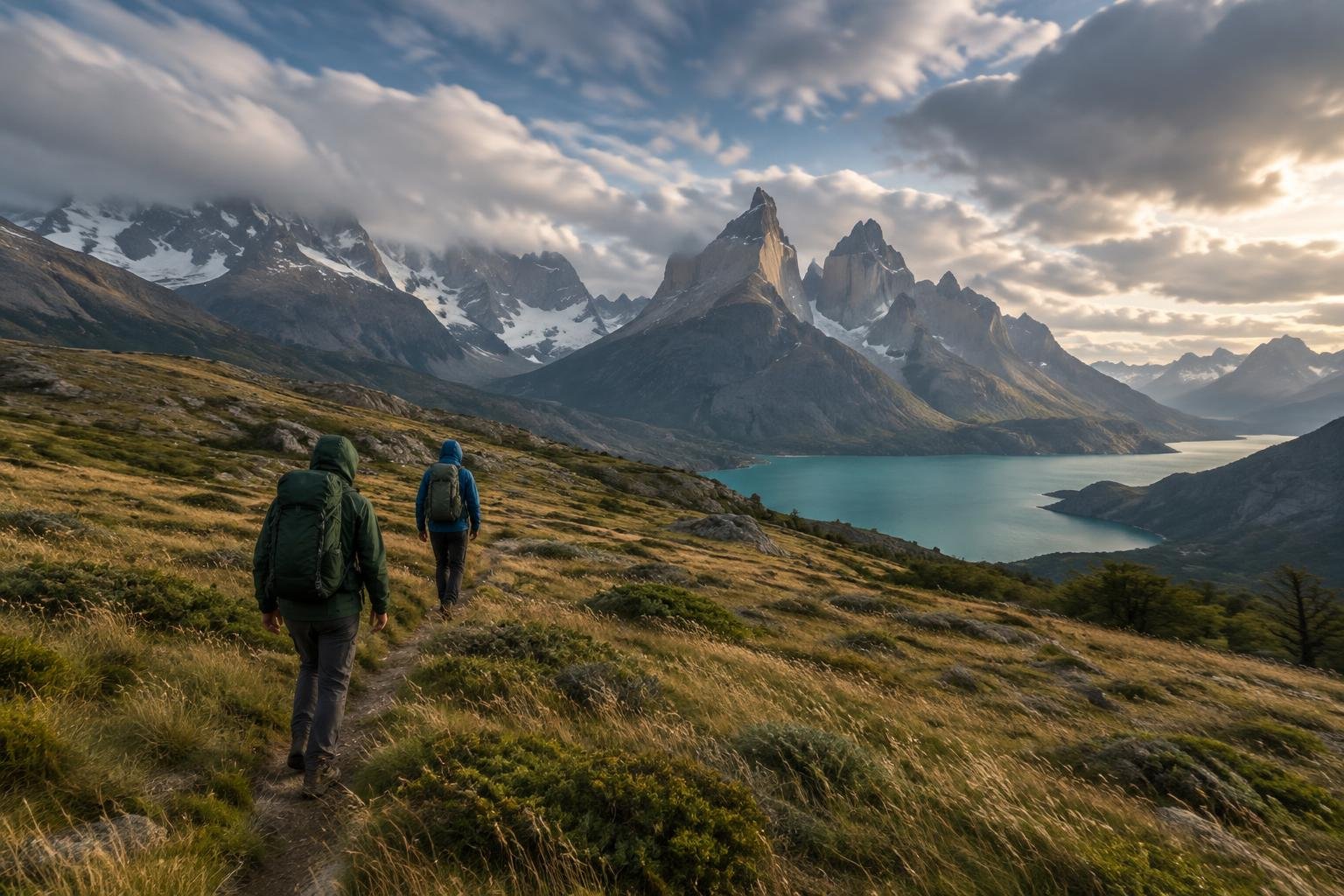
Every one of these 35 trails is a one-way route, which means the finish line is not the trailhead. That single feature shapes how you plan: transport back, boat or cable-car links, shuttles, and sometimes permits. The collection ranges widely. Some routes are short, guesthouse-to-guesthouse walks or lift-assisted day trips in the Alps, while others are multi-day treks, Great Walks in New Zealand, pilgrimage paths in Spain, and long-distance trails across the American West, Scotland, and Australia. Difficulty runs from easy to very strenuous, and several routes involve high altitude, exposure, or remote desert terrain.
The routes at a glance
-
Torres del Paine — W Trek · Patagonia · Chile
The W Trek is a W-shaped route through Torres del Paine in Patagonia, covering roughly 75 to 80 km over four to five days. It suits hikers ready for a moderate to strenuous trek, with the Torres base and French Valley side trips as the hardest days.
- Distance
- ~75–80 km / 47–50 mi, 4–5 day W-shaped route
- Difficulty
- Moderate to strenuous (the side-trip days to the Torres base and French Valley viewpoint are the hardest)
- Official season
- November to March (Patagonian summer)
-
Glacier — Highline Trail · Northern Rockies · Montana, USA
The Highline Trail in Glacier National Park runs 11.6 miles one-way from Logan Pass to The Loop trailhead, with about 800 feet of gain and roughly 3,000 feet of loss. It is rated moderate and suits hikers who want a mostly downhill, high-country traverse in summer.
- Distance
- 11.6 miles (18.6 km) one-way, from Logan Pass to The Loop trailhead
- Difficulty
- Moderate
- Official season
- July to September, when Logan Pass is open
-
Presidential Traverse · White Mountains · New Hampshire, USA
The Presidential Traverse in New Hampshire's White Mountains covers about 19 to 23 miles with roughly 8,500 to 9,000 feet of gain. It is described as very strenuous and expert only, so it suits experienced hikers prepared for severe alpine weather.
- Distance
- ~19–23 miles point-to-point (varies by chosen trailheads/route — not a single fixed trail)
- Difficulty
- Very strenuous / expert only
- Official season
- July to September; alpine weather is severe year-round
-
West Coast Trail · Vancouver Island · British Columbia, Canada
The West Coast Trail on Vancouver Island is a 75 km one-way route managed by Parks Canada, with ladders, cable cars, tidal shelf sections, and river crossings. It is rated difficult to very strenuous and suits experienced backpackers in the May to September season.
- Distance
- 75 km (46.6 mi) point-to-point
- Difficulty
- Difficult / very strenuous (technical: ladders, cable cars, tidal shelf sections and river crossings)
- Official season
- May to September; the trail is closed off-season
-
Eiger Trail — Grindelwald · Bernese Oberland · Switzerland
The Eiger Trail in Switzerland runs about 6 to 7 km from Eigergletscher to Alpiglen, mostly downhill, with roughly 770 to 800 m of descent. It is moderate, well marked, and exposed in places beneath the North Face, so it suits walkers comfortable with open ground.
- Distance
- ~6.1-7.25 km (3.8-4.5 mi) point-to-point, Eigergletscher to Alpiglen
- Difficulty
- Moderate (well-marked but exposed in places directly beneath the North Face; not technical)
- Official season
- June to October
-
Matterhorn — Five Lakes Walk · Valais · Zermatt, Switzerland
The Five Lakes Walk near Zermatt covers 9.8 km from Blauherd to Sunnegga, with lift access at both ends and mostly descent. Rated easy to moderate, it suits walkers wanting a scenic, low-effort outing in the June to October season.
- Distance
- 9.8 km (6.1 mi), point-to-point (Blauherd to Sunnegga, lift access at both ends)
- Difficulty
- Easy to Moderate
- Official season
- June to October
-
Tour du Mont Blanc — Val Veny & Courmayeur · Alps · Italy (TMB)
This Tour du Mont Blanc segment links Les Chapieux to Courmayeur over Col de la Seigne at 2,516 m, usually over two stages and about 33 to 39 km. It is strenuous, with a high pass and a long second day, so it suits fit hikers.
- Distance
- ~33-39 km combined, typically split over 2 stages (Les Chapieux, over Col de la Seigne 2,516 m, through Val Veny/Rifugio Elisabetta, to Courmayeur)
- Difficulty
- Strenuous (high pass crossing plus a long second day; not multi-day-expedition-level like the full TMB circuit)
- Official season
- Mid-June to mid-September
-
West Highland Way · Scottish Highlands · Scotland
The West Highland Way is a 96 mile (154 km) thru-hike from Milngavie to Fort William, typically walked over five to eight days. It is moderate to strenuous with no technical climbing, though Rannoch Moor is exposed, and suits steady long-distance walkers from April to October.
- Distance
- 96 miles / 154 km, point-to-point (Milngavie to Fort William)
- Difficulty
- Moderate to strenuous (long-distance, multi-day; no technical climbing, but sustained daily mileage and an exposed crossing of Rannoch Moor)
- Official season
- April to October
-
Besseggen Ridge — Jotunheimen · Jotunheimen · Norway
Besseggen Ridge in Norway's Jotunheimen is a day hike of about 14 km between the Gjendesheim and Memurubu huts, usually paired with a one-way boat crossing of Lake Gjende. It is strenuous and demanding, with a roughly 1 km exposed ridge section, and suits experienced hikers comfortable scrambling.
- Distance
- ~14 km (8.7 miles), point-to-point between DNT's Gjendesheim and Memurubu huts (most hikers cross Lake Gjende by boat one-way and walk the other)
- Difficulty
- Strenuous / Demanding (DNT-affiliated sources describe it as demanding over its full length); the narrow ridge section itself (~1 km) involves exposed scrambling
- Official season
- Late June to September, once the ridge is snow-free
-
Cinque Terre — Sentiero Azzurro · Ligurian Coast · Italy
The Sentiero Azzurro links the five Cinque Terre villages over 12 km in four sections, with 500 to 600 m of cumulative gain. It is easy to moderate overall, from the flat Via dell'Amore to steeper stretches with many steps, so it suits walkers of varied ability.
- Distance
- 12 km (7.5 miles) total, split into 4 linked sections between the 5 villages (Monterosso, Vernazza, Corniglia, Manarola, Riomaggiore)
- Difficulty
- Easy to moderate overall — the Riomaggiore-Manarola stretch (Via dell'Amore) is flat and paved, while the Corniglia-Vernazza and Vernazza-Monterosso sections are steeper and rougher with many steps
- Official season
- April to October; summer is hot and crowded
-
Path of the Gods — Amalfi Coast · Amalfi Coast · Italy
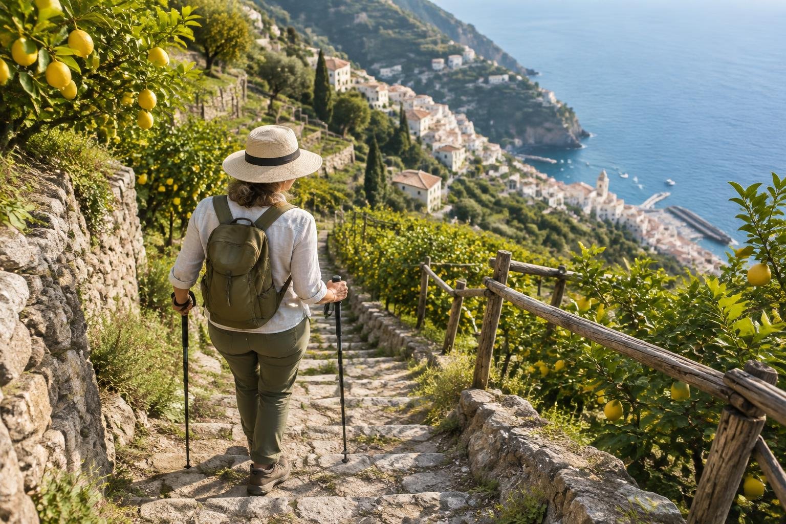
The Path of the Gods runs 7.8 km from Bomerano to Nocelle along an ancient mule track above the Amalfi Coast, mostly downhill. It is moderate, with uneven ground and some cliffside exposure, and suits hikers seeking sea views, best in spring or fall.
- Distance
- 7.8 km (4.8 miles) one way, Bomerano (Agerola) to Nocelle
- Difficulty
- Moderate — uneven ancient mule-track terrain with some cliffside exposure, but not technical
- Official season
- April–June and September–October; summer is hot
-
Caminito del Rey — El Chorro · Andalusia · Spain
Caminito del Rey is a timed-entry walkway of about 2.9 km through the Gaitanes Gorge in Andalusia, with a modest net descent. It is rated easy to moderate, with the challenge being exposure to heights rather than exertion, so it suits walkers who are comfortable with heights.
- Distance
- About 2.9 km of walkway through the Gaitanes Gorge (official figure 2,955 m) plus access paths at each end; total distance depends on where you start
- Difficulty
- Easy to moderate — mainly exposure to heights on the walkway rather than exertion
- Official season
- Spring and fall; summer is very hot
-
Causeway Coast Way — Giant’s Causeway · County Antrim · Northern Ireland
The Causeway Coast Way runs about 50 to 53 km from Portstewart to Ballycastle, usually over two to four days, passing the Giant's Causeway. It is moderate, a low coastal path with steep, exposed cliff-edge sections, and suits walkers wanting multi-day coastal scenery.
- Distance
- ~50–53 km / 31–33 mi, point-to-point, Portstewart to Ballycastle (Giant's Causeway falls roughly mid-route), typically walked over 2–4 days
- Difficulty
- Moderate — low-lying coastal path overall, but with some steep, exposed cliff-edge sections
- Official season
- April to October
-
Mount Rinjani · Lombok · Indonesia
Mount Rinjani on Lombok is a guided volcano trek of about 25.8 km over two days on the Sembalun route, with roughly 3,144 m of cumulative gain to a 3,726 m summit. It is strenuous, non-technical, and includes a very early summit push, suiting fit trekkers in the dry season.
- Distance
- ~25.8 km for the standard 2-day/1-night Sembalun summit route (Sembalun Village to crater rim is ~10 km, plus the further push to the summit and back down)
- Difficulty
- Strenuous — multi-day guided volcano trek, not technical but physically demanding with a very early summit push
- Official season
- Dry season (roughly April–December)
-
Kilimanjaro — Machame Route · Kilimanjaro · Tanzania
The Machame Route on Kilimanjaro covers about 62 km from Machame Gate to Mweka Gate, typically over six to seven days, reaching Uhuru Peak at 5,895 m. It is strenuous and high-altitude, suiting well-prepared trekkers during the January to March or June to October windows.
- Distance
- ~62 km / 37 mi total, Machame Gate to Mweka Gate (ascent and descent use different trail sections, so overall it is point-to-point), typically hiked over 6-7 days
- Difficulty
- Strenuous / high-altitude
- Official season
- January–March and June–October
-
Salkantay Trek · Andes · Cusco, Peru
The Salkantay Trek runs about 74 km over roughly five days, from Mollepata or Soraypampa to Aguas Calientes near Machu Picchu, crossing Salkantay Pass at about 4,600 m. It is strenuous and high-altitude, and suits acclimatized hikers in the May to September dry season.
- Distance
- ~74 km (46 mi) total over ~5 days, point-to-point from Mollepata/Soraypampa to Aguas Calientes near Machu Picchu
- Difficulty
- Strenuous / high-altitude
- Official season
- May to September (dry season)
-
Simien Mountains · Ethiopian Highlands · Ethiopia
The Simien Mountains offer modular treks of two to six or more days, with daily stages of about 10 to 18 km across the escarpment. A common four-day itinerary covers roughly 40 to 55 km. It is moderate to strenuous at altitude, best from October to March.
- Distance
- No single fixed distance — treks are modular/customizable, running 2 to 6+ days with daily stages of roughly 10-18 km; a common 4-day highlights itinerary totals in the range of 40-55 km, point-to-point across the escarpment (e.g. Sankaber to Chennek/Ambiko)
- Difficulty
- Moderate to strenuous, high-altitude
- Official season
- October to March (dry season)
-
Fish River Canyon Trail · ǁKaras · Namibia
The Fish River Canyon Trail is about 86 km walked over five days from Hobas to Ai-Ais, with an initial drop of roughly 450 to 500 m. It is very strenuous and self-sufficient, and a doctor's medical certificate is a mandatory permit requirement.
- Distance
- ~86 km via the legal shortcuts across the canyon floor (~90 km if following the river exactly), walked point-to-point over 5 days from Hobas to Ai-Ais Hot Springs
- Difficulty
- Very strenuous / self-sufficient wilderness trek — a doctor's medical certificate confirming fitness is a mandatory permit requirement
- Official season
- Cooler months only — the trail is open only in the cooler season (check Namibia Wildlife Resorts for dates) and closes when the river is high
-
Tiger Leaping Gorge · Yunnan · China
The Tiger Leaping Gorge High Trail runs about 20 to 22 km, usually walked guesthouse-to-guesthouse over two days, with roughly 900 to 1,100 m of gain including the steep 28 Bends. It is moderate to strenuous and suits hikers in spring or fall.
- Distance
- ~20-22 km (12-14 mi) for the High Trail, typically walked guesthouse-to-guesthouse over 2 days
- Difficulty
- Moderate to strenuous
- Official season
- Spring and fall; summer brings rain and rockfall risk
-
Huangshan — Yellow Mountain · Anhui · China
Huangshan, or Yellow Mountain, in Anhui is a point-to-point mountain route rated strenuous. Distance and elevation figures are not published here, so check them before you go. It suits fit hikers, with spring to fall as the main season and winter for snow scenes.
- Distance
- Check the official source
- Difficulty
- Strenuous
- Official season
- Spring to fall; winter for snow scenes
-
Zhangjiajie — the Avatar Pillars · Hunan · China
Zhangjiajie's pillar landscape in Hunan offers routes that vary widely, from the easy, flat Golden Whip Stream walk of about 7.5 km to strenuous stairways and cliff-edge boardwalks at Tianzi Mountain and Yuanjiajie. Spring and fall bring milder weather and fewer crowds.
- Distance
- Check the official source
- Difficulty
- Varies widely by route: easy (Golden Whip Stream, ~7.5 km, flat forest walk) to strenuous (Tianzi Mountain / Yuanjiajie stairways and cliff-edge boardwalks)
- Official season
- Spring and fall for milder weather and fewer crowds
-
Abel Tasman Coast Track · Nelson · South Island, New Zealand
The Abel Tasman Coast Track is a 60 km one-way Great Walk from Mārahau to Wainui, walked in three to five days. It is rated easy to moderate, with some steep, rough, or muddy sections, and suits walkers who want a well-formed coastal track.
- Distance
- 60 km one-way, Mārahau to Wainui (walked in 3-5 days)
- Difficulty
- Easy to moderate (Great Walk grade — well-formed coastal track; DOC notes some sections are steep, rough, or muddy)
- Official season
- October to April, though it walks year-round
-
Routeburn Track · Southern Alps · South Island, New Zealand
The Routeburn Track covers about 32 to 33 km between The Divide and Routeburn Shelter, usually in two to three days, with roughly 1,300 to 1,400 m of cumulative gain. It is a moderate to challenging Great Walk, and DOC recommends backcountry experience.
- Distance
- ~32-33 km one-way (The Divide to Routeburn Shelter/Glenorchy, or reverse), typically walked in 2-3 days
- Difficulty
- Moderate to challenging (Great Walk grade; DOC recommends backcountry experience, especially outside the guaranteed Great Walks season)
- Official season
- November to April (Great Walk season; check DOC for exact dates)
-
Tongariro Alpine Crossing · Central Plateau · North Island, New Zealand
The Tongariro Alpine Crossing is a 20.2 km one-way day walk from Mangatepōpō to Ketetahi, climbing to Red Crater at 1,886 m. It is strenuous and takes 6 to 9 hours. Winter needs alpine skills and gear, so most walkers go from November to April.
- Distance
- 20.2 km, one-way, Mangatepōpō to Ketetahi
- Difficulty
- Strenuous (DOC and official sources describe it as a demanding full-day tramp; 6-9 hours)
- Official season
- November to April; winter needs alpine skills and gear
-
Larapinta Trail · Red Centre · Northern Territory, Australia
The Larapinta Trail is a 223 km route in Australia's Red Centre, usually walked in sections across 12 stages. NT Parks grades sections from Class 2 to Class 5, and summer heat and scarce water add serious risk, so May to September is the season.
- Distance
- 223 km, point-to-point (Alice Springs/Simpsons Gap to Mount Sonder), usually walked in sections across 12 stages
- Difficulty
- Difficult overall as a through-hike; NT Parks grades individual sections from Class 2 (easier) to Class 5 (very hard/exposed), and summer heat plus water scarcity add serious risk
- Official season
- Cooler months, May to September (summer is dangerously hot)
-
Nakasendo — Magome to Tsumago · Kiso Valley · Nagano/Gifu, Japan
The Nakasendo walk between Magome and Tsumago covers about 8 km along an old post road in the Kiso Valley, rising to Magome Pass at 801 m before descending. It is rated easy and suits walkers wanting a gentle, culturally rich outing from spring to autumn.
- Distance
- ~8 km, point-to-point (Magome to Tsumago); sources range 7.7-9 km depending on exact measured route
- Difficulty
- Easy
- Official season
- Spring to autumn; snowy in winter
-
Camino Francés — Galicia to Santiago · Green Spain · Galicia, Spain
The final stretch of the Camino Francés runs about 115 km from around Sarria into Santiago de Compostela, over five to six stages with roughly 1,850 to 1,900 m of cumulative ascent. It is moderate and suits pilgrims, best in April to June or September and October.
- Distance
- ~115 km, point-to-point (pilgrimage walk from around Sarria into Santiago de Compostela); commonly cited range is 100-116 km depending on the exact start point used in/around Sarria
- Difficulty
- Moderate
- Official season
- April–June and September–October; summer is hot and busy
-
Camino Francés — the Pyrenees Start · Pyrenees · France & Spain
The Pyrenees start of the Camino Francés runs about 24 to 25 km from Saint-Jean-Pied-de-Port to Roncesvalles via the Route Napoleon, cresting near 1,450 to 1,480 m. It is strenuous, widely cited as one of the hardest single days, and the high route can close in bad weather.
- Distance
- ~24-25 km, point-to-point (Saint-Jean-Pied-de-Port, France to Roncesvalles, Spain, via the Route Napoleon)
- Difficulty
- Strenuous (widely cited as one of the hardest single days on the Camino Frances)
- Official season
- Late spring to early fall; the high route can close in winter or bad weather
-
Cares Gorge — Picos de Europa · Picos de Europa · Northern Spain
The Cares Gorge route in Picos de Europa runs 12 km one-way from Poncebos to Cain, or about 24 km out-and-back. It is moderate, long but largely level and non-technical, with some cliff-edge exposure, and suits walkers from spring to fall.
- Distance
- 12 km one-way (official PR-PNPE-3 route, Poncebos to Cain); ~24 km if walked as an out-and-back
- Difficulty
- Moderate (long, but largely level and non-technical; some cliff-edge exposure)
- Official season
- Spring to fall; it can be hot and busy in summer
-
Peaks of the Balkans — Valbona to Theth · Albanian Alps · Albania
This Albanian Alps crossing runs about 12 km between Theth and Valbona over Valbona Pass at 1,797 to 1,807 m, with 1,125 m of ascent and 750 m of descent. It is rated medium and suits hikers in the June to September season.
- Distance
- 12 km, point-to-point (Theth to Valbona, crossing the Valbona Pass/Qafa e Valbones at 1,797-1,807 m); some sources measuring from village centers rather than trailheads report up to 16.4 km
- Difficulty
- Medium
- Official season
- June to September
-
Mount Teide · Canary Islands · Tenerife, Spain
Mount Teide's walking route covers about 8.9 km one-way from Montana Blanca to the 3,715 m summit, with roughly 1,350 to 1,400 m of gain. Official wording calls it very strenuous and highly challenging, and many hikers descend by cable car. It is open year-round, with a cold, snowy summit in winter.
- Distance
- ~8.9 km one-way from the Montana Blanca trailhead to the true summit (8.2 km on trail PNT-07 Montana Blanca-La Rambleta, plus 0.69 km on trail PNT-10 Telesforo Bravo to the summit); many hikers descend by cable car rather than walking back down
- Difficulty
- Very strenuous / 'highly challenging' (official wording, citing elevation gain, altitude, and gradients up to 60% on the final Telesforo Bravo stretch)
- Official season
- Year-round; the summit is cold, with winter snow
-
Madeira — Pico do Arieiro to Pico Ruivo · Madeira · Portugal
The PR1 trail on Madeira runs 6.1 km one-way from Pico do Arieiro to Pico Ruivo. Officially moderate, independent guides describe it as tougher in practice because of exposure, staircases, and tunnels. The ridge is often cold and cloudy, and many hikers arrange a return shuttle.
- Distance
- 6.1 km one-way (PR1 - Vereda do Areeiro, Pico do Arieiro to Pico Ruivo)
- Difficulty
- Moderate (official rating); several independent hiking guides describe it as more strenuous/difficult in practice due to exposure, staircases, and tunnels
- Official season
- Spring to fall; the ridge is often cold and cloudy
-
Wadi Rum & the Jordan Trail to Petra · Southern Desert · Jordan
This Jordan Trail section covers 91.6 km, typically over five days, between Wadi Rum and Petra, with about 2,354 m of ascent and 2,427 m of descent. It is strenuous, remote, and unmarked, with limited water, so a guide is strongly recommended in spring or fall.
- Distance
- 91.6 km (~57 mi), point-to-point, typically hiked over 5 days (Jordan Trail official Region 7, 'Petra to Rum' — the same route this destination describes in reverse, Wadi Rum to Petra)
- Difficulty
- Strenuous — multi-day remote desert trek, unmarked trail, guide strongly recommended, limited water sources
- Official season
- Spring and fall; summer is very hot, winter nights cold
-
PCT — High Sierra & Forester Pass · Sierra Nevada · California, USA
Forester Pass, at 13,153 ft, is the highest point on the Pacific Crest Trail. The climb from the Bubbs Creek junction is 7.9 miles with 3,595 ft of gain. It is very strenuous and high alpine, often holding snow and ice into July.
- Distance
- Forester Pass (13,153 ft) is the single highest point on the entire 2,650-mile PCT. The direct PCT climb to the pass from the PCT/Bubbs Creek Trail junction is 7.9 miles one-way. Most hikers experience it as part of a multi-day High Sierra trip via the Kearsarge Pass Trailhead (Onion Valley) — round-trip backpacking routes to and past the pass run roughly 46-49 miles.
- Difficulty
- Very strenuous / high alpine — the PCT's highest and one of its most exposed passes, often holds snow/ice into July
- Official season
- July to September (later in heavy snow years)
-
CDT — Wind River Range · Rockies · Wyoming, USA
The Continental Divide Trail runs roughly 100 miles through Wyoming's Wind River Range, from South Pass City to Togwotee Pass. It is very strenuous, with remote high-elevation wilderness and limited resupply. Thru-hikers often add alternates such as the Cirque of the Towers or Knapsack Col.
- Distance
- The CDT runs roughly 100 miles through the Wind River Range, point-to-point from South Pass City to Togwotee Pass, crossing the Bridger-Teton and Shoshone National Forests. Many thru-hikers detour onto high-alpine alternates within this stretch, such as the Cirque of the Towers alternate (~9 miles one-way via the Big Sandy Trailhead and Jackass Pass, or 17-40+ mile loop variants) and the Knapsack Col cross-country route (crossing the crest at ~12,200 ft).
- Difficulty
- Very strenuous / high alpine — remote, high-elevation wilderness with multiple passes at or above treeline, limited resupply
- Official season
- July to September
How to choose between them
Start with effort and time. For a short outing, the Magome to Tsumago walk is rated easy, while the Five Lakes Walk near Zermatt is easy to moderate and lift-served. Step up to the Eiger Trail, Path of the Gods, or Cares Gorge for moderate days. If you want a full day with serious effort, the Tongariro Alpine Crossing, Besseggen Ridge, and the Camino's Pyrenees start are strenuous. Multi-day options include the West Highland Way, Abel Tasman Coast Track, and Routeburn Track, while the Presidential Traverse, Fish River Canyon, and the Wind River CDT section are very strenuous. Also weigh permits, medical certificates, and how you will return to your start.
When to go
Official seasons for these routes cluster in spring through fall, though the details differ. Alpine and northern routes such as the Highline Trail, Besseggen Ridge, and the Presidential Traverse run roughly July to September. Mediterranean paths like Path of the Gods favor April to June and September to October. Southern Hemisphere routes, including Torres del Paine, Routeburn, and Abel Tasman, run from about October or November to March or April. Desert and tropical trails use cooler or dry months, and Mount Teide is open year-round. Always confirm dates with each managing authority.
Common questions
What does point-to-point mean for a hike?
A point-to-point hike starts at one trailhead and finishes at another, so you do not return to your starting point on foot. You will usually need a shuttle, boat, lift, train, or taxi to get back, and that logistics step should be part of your plan.
Which point-to-point hikes here are rated easy?
Among the supplied difficulty descriptions, the Nakasendo walk from Magome to Tsumago is rated easy. The Five Lakes Walk near Zermatt, Caminito del Rey, Cinque Terre's Sentiero Azzurro, and Abel Tasman Coast Track are listed as easy to moderate.
Which routes are the most demanding?
The Presidential Traverse is described as very strenuous and expert only, and the Fish River Canyon Trail as very strenuous and self-sufficient. Mount Teide, the Forester Pass section of the PCT, and the Wind River CDT stretch are also described as very strenuous.
Do any of these routes need permits or special conditions?
Some do. The Fish River Canyon Trail requires a doctor's medical certificate as a permit condition, and Caminito del Rey is a timed-entry walkway. The West Coast Trail is closed off-season. Check each managing authority for current permit and booking rules before you travel.
Sources
Facts come from each route's official managing authority, linked on its trail guide:
- CONAF & park concessionaires — parquetorresdelpaine.cl (park information) (Torres del Paine — W Trek)
- U.S. National Park Service — nps.gov/glac (Glacier — Highline Trail)
- U.S. Forest Service (White Mountain National Forest) — fs.usda.gov (White Mountain National Forest) (Presidential Traverse)
- Parks Canada — parks.canada.ca (West Coast Trail)
- Regional tourism & railways — grindelwald.swiss (Grindelwald Tourism, local tourist office) (Eiger Trail — Grindelwald)
- Regional tourism & railways — zermatt.ch (Zermatt Tourism, local tourist office) (Matterhorn — Five Lakes Walk)
- Regional authorities & refuge associations — autourdumontblanc.com (Tour du Mont Blanc — Val Veny & Courmayeur)
- West Highland Way / local authorities — westhighlandway.org (West Highland Way)
- Norwegian Environment Agency & DNT — dnt.no (Besseggen Ridge — Jotunheimen)
- Cinque Terre National Park — parconazionale5terre.it (Cinque Terre — Sentiero Azzurro)
- Regional authorities — comune.agerola.na.it (Comune di Agerola, the municipality at the trailhead) (Path of the Gods — Amalfi Coast)
- Provincial authority (Málaga) — caminitodelrey.info (Caminito del Rey — El Chorro)
- National Trust & local councils — nationaltrust.org.uk (Giant’s Causeway) (Causeway Coast Way — Giant’s Causeway)
- Gunung Rinjani National Park — rinjaninationalpark.com (Mount Rinjani National Park) (Mount Rinjani)
- Tanzania National Parks (TANAPA) — tanzaniaparks.go.tz (Kilimanjaro visitor guide) (Kilimanjaro — Machame Route)
- Regional authorities — machupicchu.gob.pe (official Machu Picchu site, Peru Ministry of Culture) (Salkantay Trek)
- Ethiopian Wildlife Conservation Authority (EWCA) — simienmountain.org (Simien Mountains National Park) (Simien Mountains)
- Namibia Wildlife Resorts — nwr.com.na (Fish River Canyon Trail)
- Regional scenic authority — UNESCO World Heritage Centre (Three Parallel Rivers of Yunnan) (Tiger Leaping Gorge)
- Regional scenic authority — UNESCO World Heritage Centre (Mount Huangshan) (Huangshan — Yellow Mountain)
- Regional scenic authority — UNESCO World Heritage Centre (Wulingyuan Scenic Area) (Zhangjiajie — the Avatar Pillars)
- Department of Conservation (DOC) — doc.govt.nz (Abel Tasman Coast Track)
- Department of Conservation (DOC) — doc.govt.nz (Routeburn Track)
- Department of Conservation (DOC) — doc.govt.nz (Tongariro Alpine Crossing track page) (Tongariro Alpine Crossing)
- NT Parks and Wildlife — northernterritory.com (Tourism NT, Larapinta Trail) (Larapinta Trail)
- Regional tourism authorities — Japan National Tourism Organization (national tourist board) (Nakasendo — Magome to Tsumago)
- Regional authorities & pilgrim associations — oficinadelperegrino.com (Camino Francés — Galicia to Santiago)
- Regional authorities & pilgrim associations — oficinadelperegrino.com (Camino Francés — the Pyrenees Start)
- Spanish National Parks Network (MITECO) — miteco.gob.es (Picos de Europa visitor guide) (Cares Gorge — Picos de Europa)
- Cross-border regional authorities — akzm.gov.al (Albania National Agency of Protected Areas) (Peaks of the Balkans — Valbona to Theth)
- Spanish National Parks Network (MITECO) — miteco.gob.es (Teide visitor rules and recommendations) (Mount Teide)
- Madeira regional authorities — ifcn.madeira.gov.pt (IFCN, Madeira Nature Conservation Institute, Portuguese) (Madeira — Pico do Arieiro to Pico Ruivo)
- Aqaba Special Economic Zone Authority (ASEZA) & local Bedouin communities — Jordan Tourism Board (national tourist board) (Wadi Rum & the Jordan Trail to Petra)
- U.S. National Park Service & Forest Service — nps.gov/seki (Sequoia & Kings Canyon wilderness permits) (PCT — High Sierra & Forester Pass)
- U.S. Forest Service — fs.usda.gov (Bridger-Teton National Forest, Bridger Wilderness) (CDT — Wind River Range)
Conditions, permits and access rules change without notice — confirm current information with each managing authority before you go. See our editorial policy.