
Affiliate disclosure: this page contains affiliate links. Purchases made through them may earn us a commission at no extra cost to you. See our affiliate disclosure.
In plain English
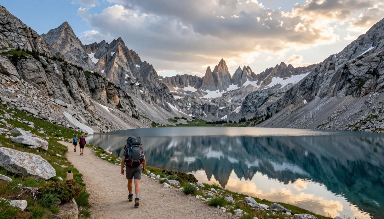
The Wind River Range is a rugged chain of granite peaks and lakes in Wyoming. The Continental Divide Trail runs through it, but many hikers leave the main line to follow rougher routes past the best scenery. Those routes are slower than they look on a map, because you may be picking your way over boulders or following a faint path that vanishes.
There are no shops, huts or roads along the way, so you carry everything you need until you reach the next town. That makes it a food-and-weight puzzle. More days between resupply means more food in your pack, and heavier food means heavier steps.
Three things deserve early planning. Get used to the altitude, because the air is thin. Treat all your water, because clear streams can still carry germs. And know how to handle bears, because this is bear country and you will be far from help.
What the hike is like
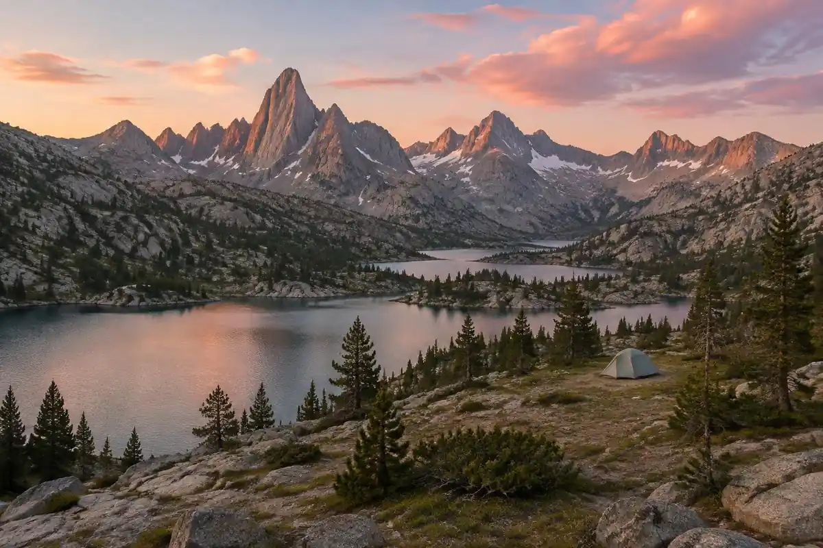
The Divide's own line through the Winds is gentler than the range's reputation — long forested miles, sandy tread in places, and basins that roll rather than climb — but very few hikers stay on it the whole way. The range's appeal sits in the alternates, which trade maintained trail for granite benches, boulder fields and stretches of cairned or entirely unmarked ground above treeline. On those, walking becomes slow and deliberate: picking a line across talus, following a faint use-trail through meadow, then losing it again at the next slab. Passes come one after another, each dropping into another basin strung with lakes. The Cirque of the Towers detour is the best known of these diversions, and it is typical of the range in that map distance bears little relation to the hours it actually takes.
How to plan the itinerary
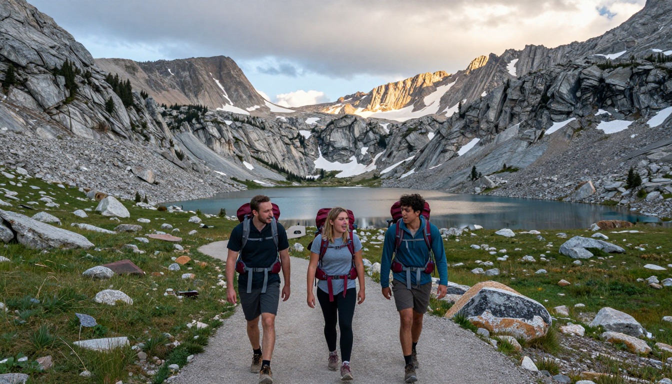
This is walked as a self-supported multi-day stretch between gateway towns, with no lodging and no services in between, so the trip is shaped by how much food you can carry and which trailheads you can reach from Pinedale or Lander. Thru-hikers hit the Winds mid-season and treat it as one long carry, picking up alternates as weather and energy allow. Section hikers more often go in from one trailhead and out from another over roughly a week, building the itinerary around passes rather than mileage. The usual daily pattern is to be over the high ground by early afternoon and camped below treeline before storms build, which means early starts and a willingness to stop short of the plan. Budget spare days too — the high alternates routinely cost more time than expected, and weather here can pin you down.
Plan this trip in 5 steps
-
Pick the right pack
Match a pack to your trip, fit and priorities.
-
Plan food & water
Calories, food weight and water for your days on trail.
Trail-specific tips
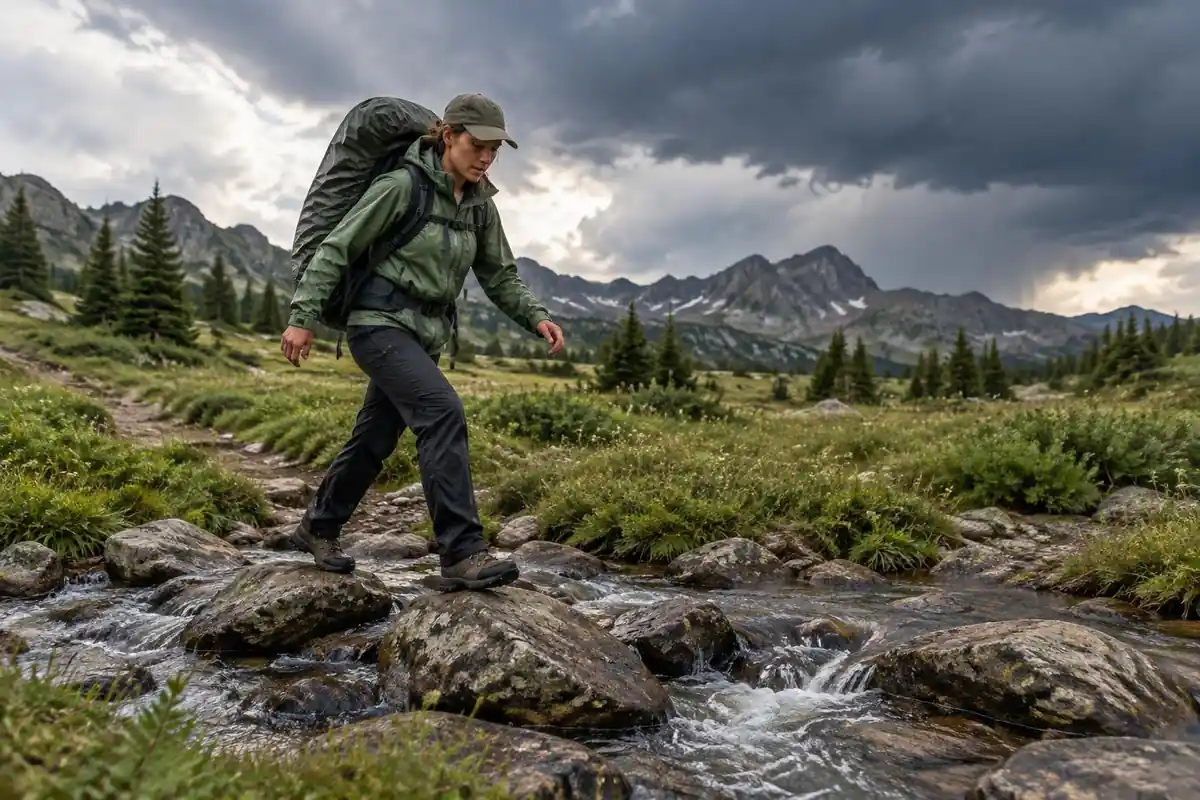
Plan by terrain, not distance. A day on maintained trail and a day of boulder-hopping across a high basin look similar on a map and feel nothing alike, and hikers who schedule the alternates at trail pace end up crossing passes late in the day. Early-season mosquitoes in the lake basins are notorious enough to change where people camp — going higher, drier and breezier usually helps. Know your escape routes off the high ground before you commit to a pass, because afternoon storms arrive quickly and there is a lot of exposed granite between you and shelter. For storms, navigation and food-storage groundwork, see /trail-smarts/.
Permits & rules
Permit and registration rules differ by wilderness and national forest, so check with the Forest Service before you go. Food storage in bear country is a legal requirement (Forest Order) on the Bridger-Teton National Forest, not just advice, and you must be fully self-sufficient. The Winds are remote and high — many hikers take the rugged Cirque of the Towers high-route variant — so carry proper gear, watch the afternoon storms, and know your bailout options.
Gear suited to this hike
Matched to the terrain and conditions here. Real products — check current price on Amazon.


Off-trail alternates and how to budget time
The page describes how alternates trade maintained trail for boulder fields, cairned ground and use-trails, and how map distance says little about the time they take. That is a real planning issue. The classic form of Naismith's rule allows one hour per three miles plus one hour per 2,000 feet of ascent,5 and it was built for walking on ordinary ground. Crowd-sourced fitness-tracker data show how travel rates change with slope,6 but neither source models talus or route-finding, so treat rule-of-thumb hours as a floor and add a generous margin on boulder or trackless ground.
The National Park Service suggests planning for uphill sections to take at least double the downhill time, and setting a turnaround time and sticking to it.7 The same guidance says to leave a trip plan with a trusted person who is not on the trip, and not to rely on a cell phone for emergencies, which matters in a range where there is no service and rescue may be days away.7
Bears, food storage and camp setup
Where grizzly bears live, the Interagency Grizzly Bear Committee notes that certification means a product met minimum standards for the effort a grizzly must spend to reach the contents, and does not make a container bear-proof.8 Food storage rules vary by area, so check the current Bridger-Teton and Shoshone National Forest requirements before you go rather than assume. As general guidance, the National Park Service says bears treat any scented item, including toiletries, sunscreen, trash and fuel, as food.9 It also says to keep containers closed and locked on level ground at least 100 feet from camp.10
The National Park Service says bear spray is proven highly successful at stopping aggressive bear behavior, and advises buying only EPA-approved spray.3 The Interagency Grizzly Bear Committee says most bear sprays reach 20 to 30 feet.11 The National Park Service says to use it when a charging bear is within 60 feet, and warns that wind, snow, rain and cold reduce spray distance.3 Keep it on a hip belt or shoulder strap where you can reach it without taking off the pack. Also note that the federal rules on flying with bear spray are set by the TSA.12 Camp at least 200 feet from lakes and streams and dig catholes 6 to 8 inches deep, at least 200 feet from water, camp and trails.13 For dispersed camping, the Forest Service's Intermountain Region, which covers Wyoming national forests, says to camp at least 200 feet from water.14 Rules vary by forest, so confirm locally.
Altitude, water and pack size for a long carry
The CDC Yellow Book says anyone unacclimatized who sleeps at 8,000 ft or higher is at risk of altitude illness, and that fitness does not protect against it.1 Headache is the main symptom, and it improves with descent.1 Thru-hikers reach the Winds after weeks of walking, while a section hiker who flies in and starts high has had no such adjustment, so a gentle first day is wise.
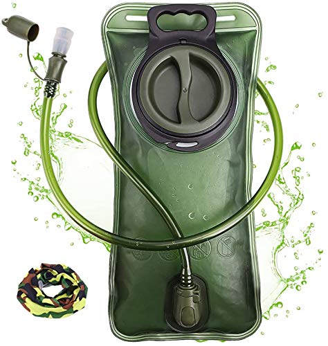
Basin lakes look clean, but the CDC says water from a clear mountain stream can still contain germs and is generally not safe to drink untreated.2 It also says most portable filters remove parasites but not viruses or bacteria, so choose the treatment to match your filter's rating.2 Chemical or ultraviolet treatment after filtering is one option, and boiling for a minute, or three minutes above 6,500 feet, is the CDC's most reliable method.2
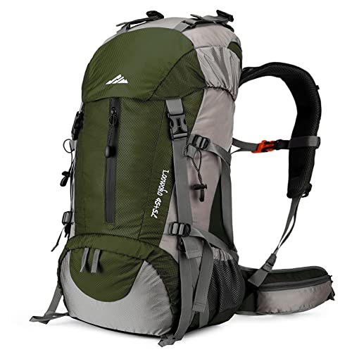
For pack size, the Washington Trails Association suggests 50 to 70 liters for trips of three to seven nights.4 A week of food and any required food container is the main reason to lean toward the larger end. One liter of water has a mass of about 1 kg,15 so where lakes are frequent, carrying just enough for the gap between them saves real weight.
Land managers and current rules
The Wind River Range is largely managed by the Bridger-Teton and Shoshone National Forests, so check their current pages for permits, fire restrictions and closures before you go.
Common questions
Is the Cirque of the Towers detour worth the extra effort?
Most hikers who take it say yes — it is the signature landscape of the range, a horseshoe of granite spires standing over a basin of lakes. It is also markedly harder than the main Divide line, with rough ground and a pass to get in and out. Take it if you have the spare days, a decent forecast and the legs.
Do I need off-trail navigation skills?
For the official Divide route, not especially — the tread is generally clear and easy to follow. For the high alternates, yes. Sections run on cairns, faint use-trails, or no trail at all, and map-and-compass ability alongside a GPS track matters when cloud settles onto a pass. This is not the range in which to learn those skills.
How long is the stretch between resupplies?
Long enough that food weight becomes the main planning constraint. There are no services anywhere along the route, so hikers carry everything between trailheads reached from the gateway towns, and many plan for the better part of a week or more in the high country. Shorter itineraries are possible by choosing closer entry and exit trailheads.
When do the mosquitoes ease off?
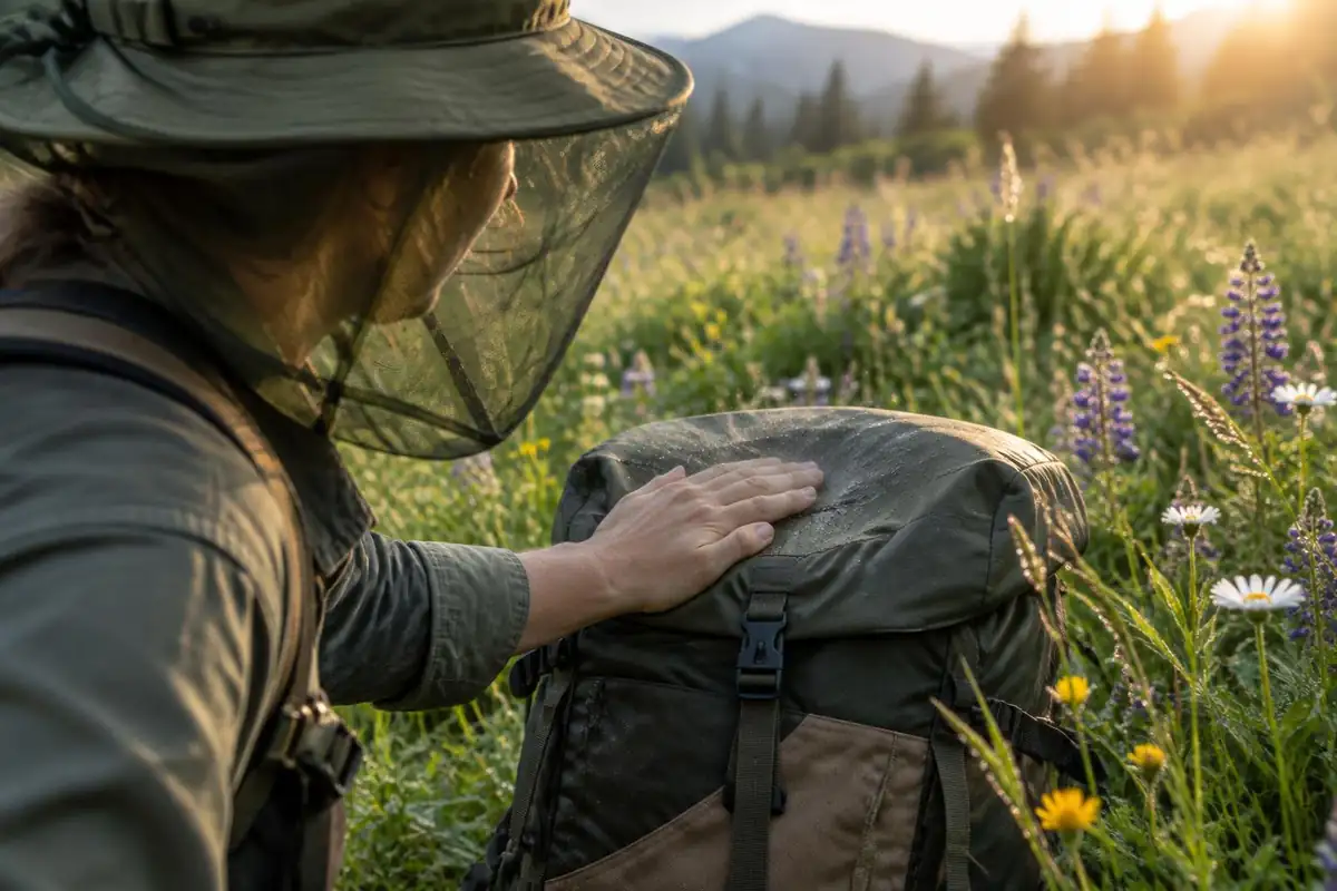
They peak after snowmelt in the lake-filled basins and generally thin out as summer goes on and nights turn colder. Early-season hikers plan around them — camping higher, drier and more exposed, and carrying a head net. By late season they are usually a minor annoyance compared with the afternoon weather.
Is this a good first backpacking trip?
Not really. There are no huts, no resupply and no quick way out once you are in the high country, and conditions can turn hard at elevation. It makes a rewarding second or third big trip for someone who already has multi-day self-supported experience and is comfortable making weather calls and handling bear-country food storage.
Complete gearsets for this trip
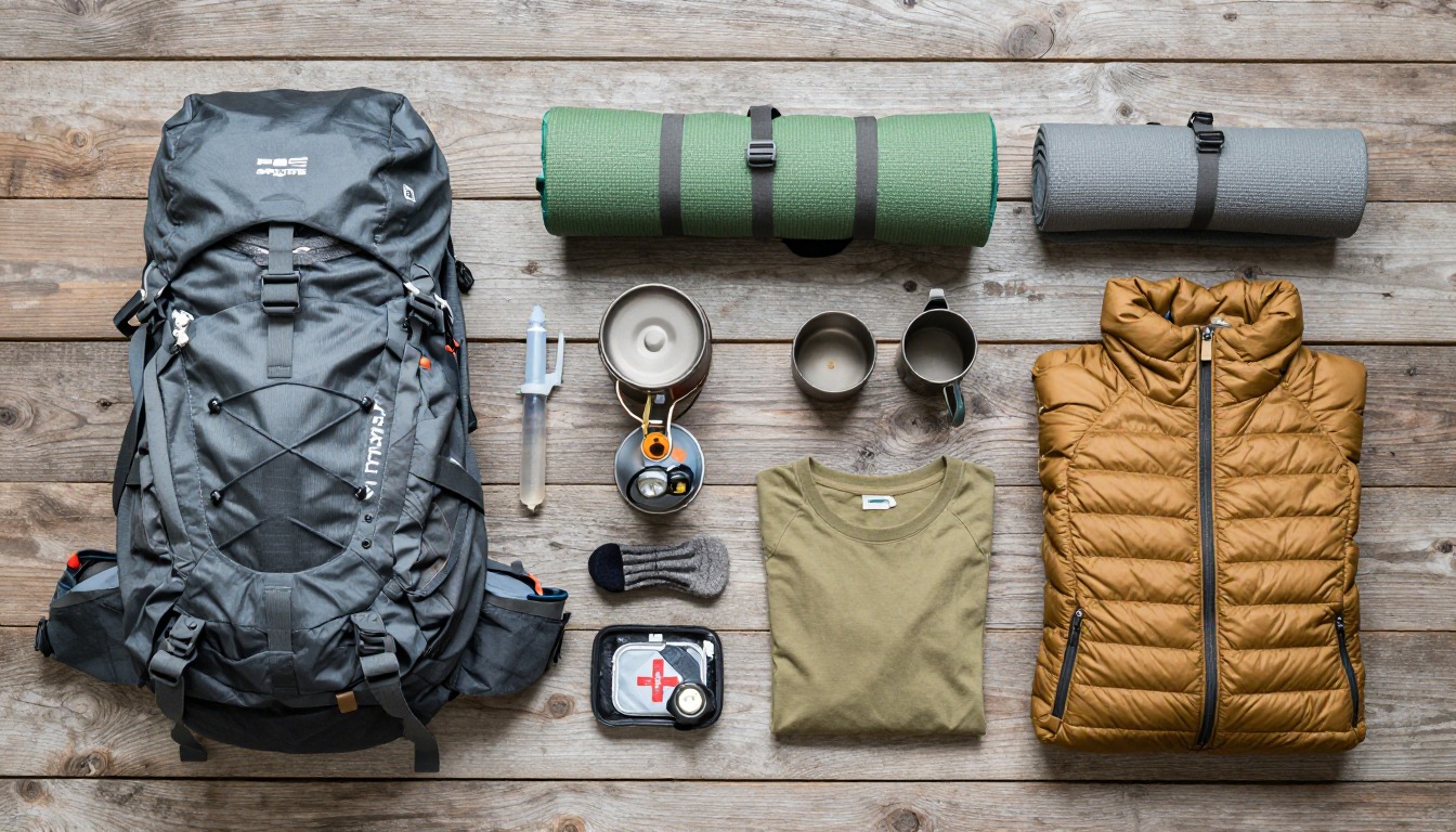
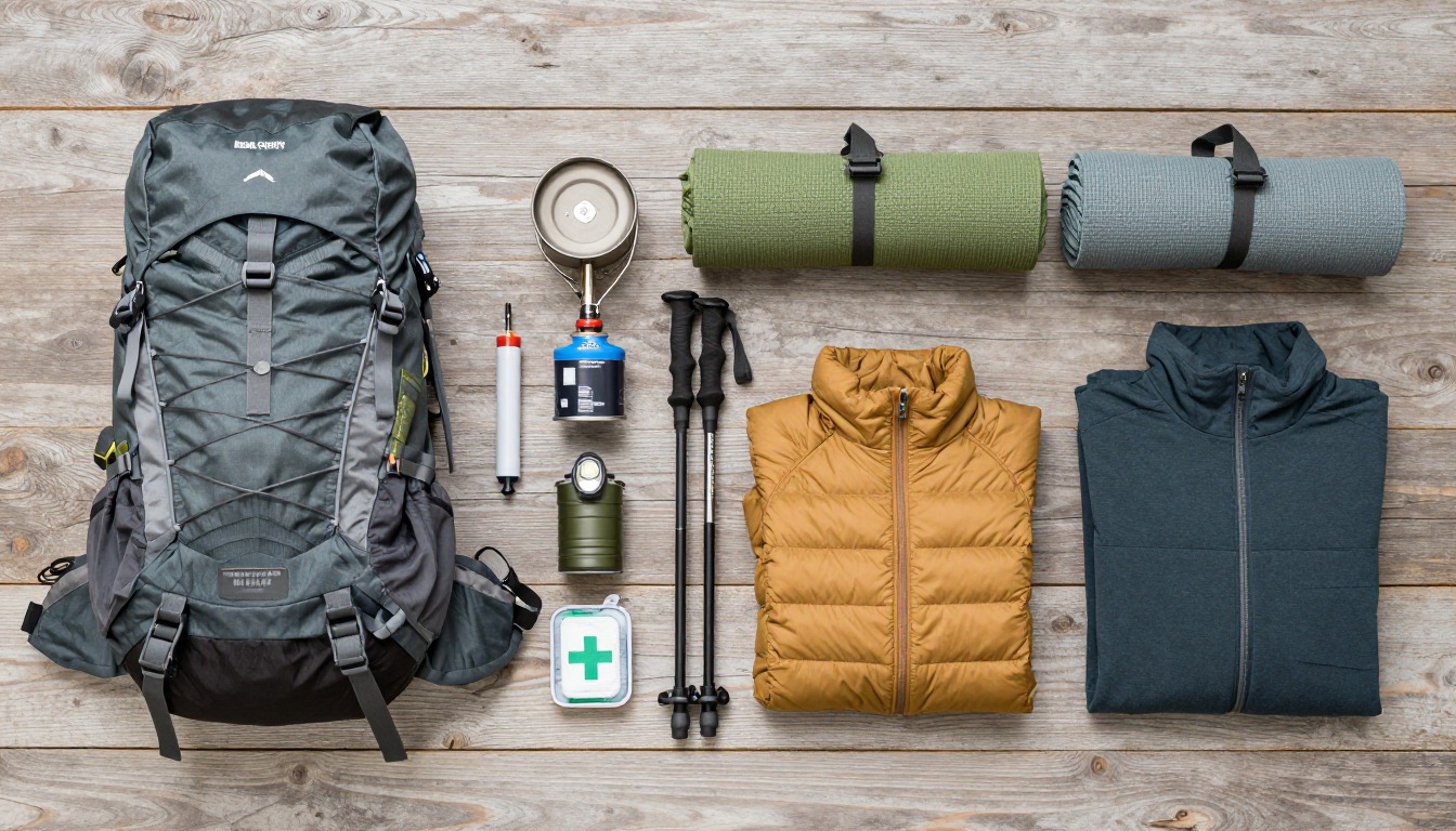
Full curated kits built for exactly this kind of hike.

Trail conditions, permits and access rules change without notice — always confirm current information on the official source above before you go. Some facts on this page are still pending owner verification and are marked accordingly. Product links and the accommodation map are affiliate links: we may earn a commission at no extra cost to you; product prices and availability are shown on Amazon, and accommodation prices on the booking site. See our affiliate disclosure.