
Affiliate disclosure: this page contains affiliate links. Purchases made through them may earn us a commission at no extra cost to you. See our affiliate disclosure.
In plain English
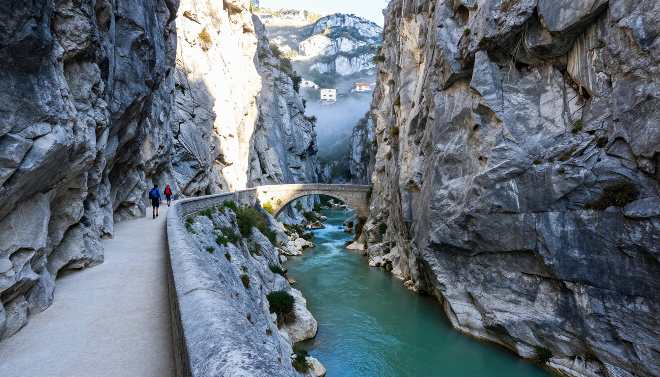
Cares Gorge is a cliff-edge walk more than a climb. After one steep start the path runs almost level along the side of the gorge, with a big drop beside it for most of the way.
So the question is not stamina, it is comfort with height. Most people are fine on a wide, flat, packed path. But if you dislike open drops, the lack of railings can feel intense, and there is no shortcut off the path in the middle.
Bring a small pack with water, a snack, a headlamp for the tunnels, and a layer. Start early so it is cool and less crowded, and choose in advance where you will turn around. If the drop makes you uneasy, it is fine to turn back early.
What the hike is like
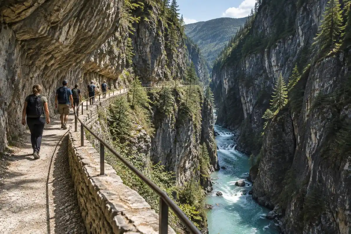
Only the beginning really climbs. From Poncebos the path works steeply up the hillside to gain the ledge, and once you are on it the trail settles into a near-level line cut into the cliff for the rest of the way — originally a maintenance path for the hydroelectric channel that still runs alongside it. The walking surface is packed gravel and bare rock, usually wide enough for two but pinched in places by rock overhangs and interrupted by short unlit tunnels and a couple of bridges spanning the gorge. There is no railing on most of it, and the drop to the river below is continuous rather than occasional. Goats work the cliffs above and occasionally dislodge stones. Toward the Caín end the gorge narrows dramatically and the tunnel sections come one after another.
How to plan the itinerary
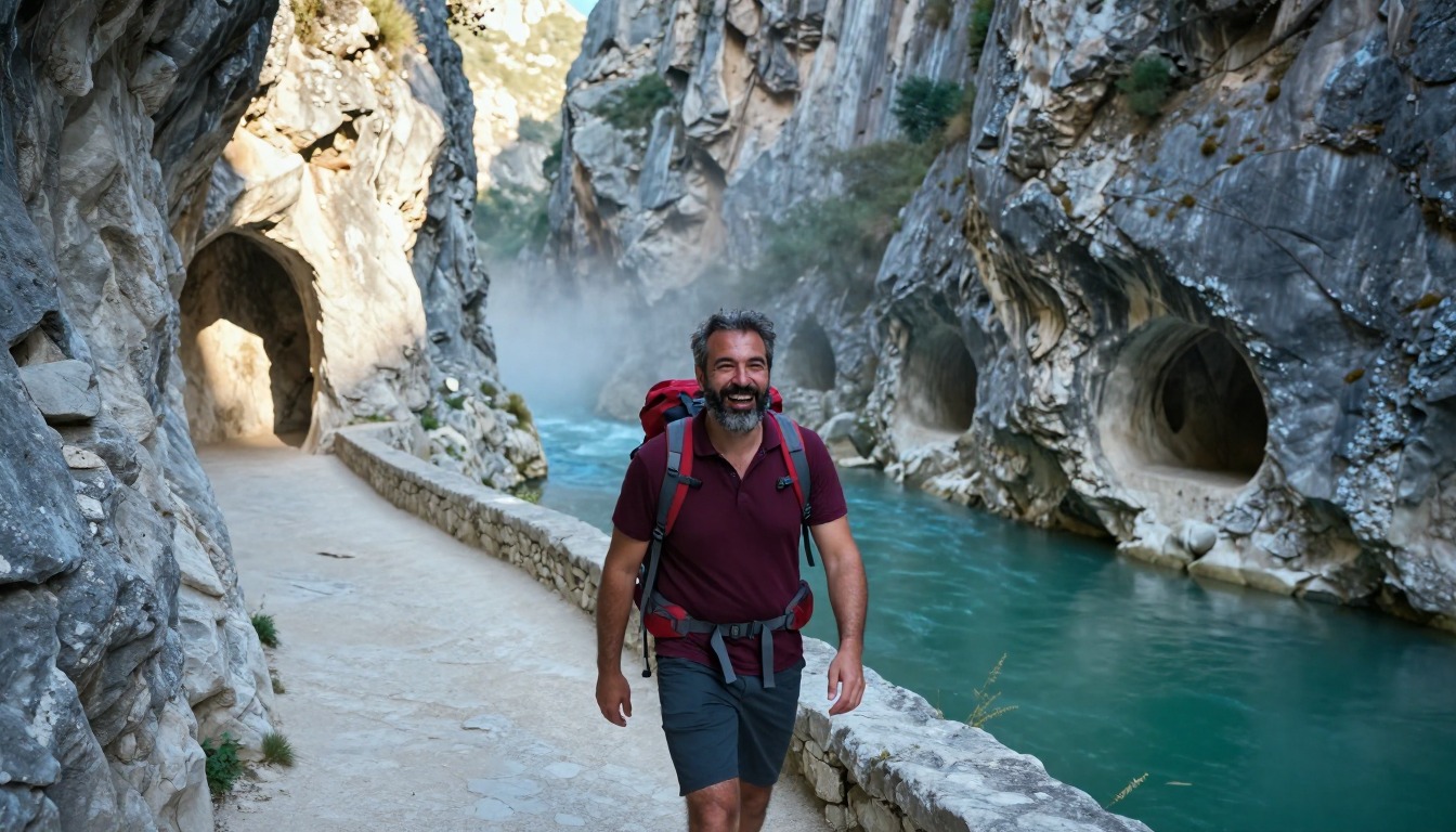
Because the trail runs point to point, the first decision is whether to walk it one way or double back. Many hikers simply go out and back from Poncebos, turning around at a time they set in advance rather than at a place, which makes for a full day on your feet. Others walk the whole length in one direction and arrange transport at the far end, which needs organizing before you start since options at the Caín end are limited. A popular compromise is walking in far enough to reach the narrowest, most dramatic stretch and then returning. Starting early matters in every version — it buys cooler air on an exposed path and gets you through the tighter sections before they fill with walkers.
Plan this trip in 5 steps
-
Pick the right pack
Match a pack to your trip, fit and priorities.
-
Book a place to stay
Campgrounds, huts and lodges near Cares Gorge — Picos de Europa.
-
Plan food & water
Calories, food weight and water for your days on trail.
Trail-specific tips
The trap is assuming a flat trail makes for an easy day. Out and back doubles a substantial distance, there is almost no shade, and the sun bounces off pale limestone all afternoon, so carry more water than the profile suggests. Keep to the inside of the path on blind corners and stand still rather than shuffling when groups pass. A phone light is enough for the short tunnels. Keep children within arm's reach and dogs on a lead the entire way, because much of the path runs beside a drop with little protection. General exposure and heat advice is at /trail-smarts/.
Permits & rules
No permit is needed. The path is a spectacular ledge cut into the cliffs high above the river — mostly level but exposed in places, so follow the park’s visiting rules and recommendations, keep back from the edge, carry water and sun protection, and mind the many day walkers in summer.
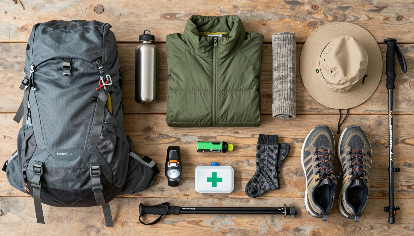
Gear suited to this hike
Matched to the terrain and conditions here. Real products — check current price on Amazon.


Exposure and the tunnels
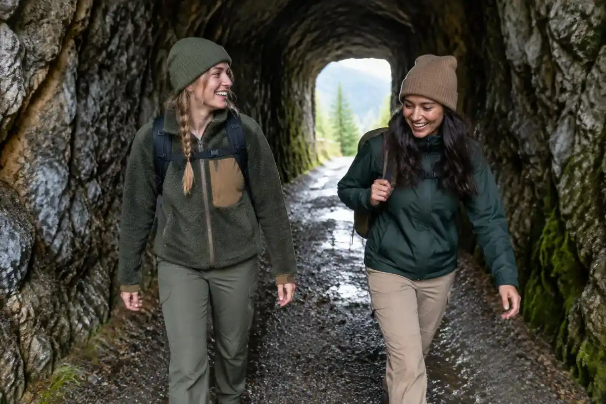
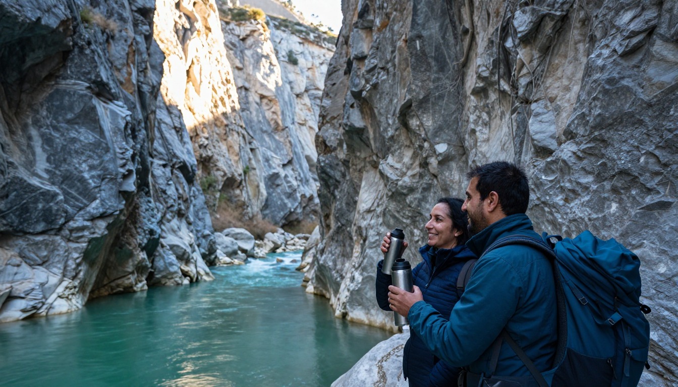
The page describes short unlit tunnels, a couple of bridges and a continuous drop with no railing on most of the path. In a tunnel your phone light is a poor substitute for a real one, and you want both hands free for balance or to steady a child. NPS recommends headlamps as the light source because they are hands-free.1 A small one costs little in weight and covers the tunnels and any late finish.
Rockfall is a further reason to move steadily. Goats work the cliffs above, and the path narrows under overhangs. Walk on the wall side where the path allows, keep groups spaced so a falling stone does not hit several people, and do not stop under overhangs to take photos. Whether the path is open on a given day is a local decision, so confirm current status with the park or the nearest information point before you set out, rather than assuming.
Heat, water and the out-and-back arithmetic
Because there is little shade on an exposed path, heat is a real issue. Hikers can lose one to two quarts of water per hour in heat, and most heat-illness rescues at Grand Canyon involve people hiking between 10 a.m. and 4 p.m.2 The CDC advises doing outdoor activities during the coolest parts of the day when heat risk is high.3 That matches the page's advice to start early.
Water also has weight, which is why a light pack matters: water weighs about 8 pounds per gallon.4 Drinking to thirst is generally safer than forcing fluids, because the CDC warns that forced drinking when not thirsty raises the risk of hyponatremia, or low blood sodium.5
NPS advises choosing a turnaround time and sticking to it.6 On a point-to-point path that returns the way it came, pick that time before you start, because the return leg is as long as the way out and you will be tired.
Emergency planning on a narrow path
Rescue is not quick on a cliff path. NPS notes that search and rescue can take hours or days depending on weather and resources, and that a whistle helps rescuers find you and saves energy compared with yelling.7 Leave your plan with someone who is not on the trip, and do not rely on a cell phone as your only plan.6
Keep the pack streamlined: a small hip-belted pack keeps the load close to your body and off your shoulders, and hip belts reduce shoulder pressure and increase comfort.8 A pack that swings or catches on rock overhangs is a nuisance on a narrow path, so compress it before you go.
Common questions
How exposed is the Cares Gorge — is it frightening?
The path is broad by mountain standards and requires no scrambling, but it runs along a ledge with a long drop for much of its length and limited protection in places. Confident walkers find it exhilarating rather than alarming. Anyone uncomfortable with height, or walking with young children, should consider how they will feel sustaining that for hours, not minutes.
Is it better to walk one way or out and back?
Out and back from Poncebos is the simpler plan, since it needs no transport arrangements and lets you turn around whenever you like. Walking the full length in one direction is the more satisfying journey but depends entirely on organizing a ride at the far end beforehand, as onward options from the Caín side are thin.
Can I bring children or a dog?
Both are common, but the unguarded edge changes the calculation. Children who reliably stay on the path and dogs kept on a short lead are manageable; anyone who wanders is not. The tunnels are dark and echoey, which unsettles some dogs, and the heat on bare rock is hard on paws in summer.
Is there water or shade along the trail?
Very little of either. The route is carved into a south-facing limestone wall with almost no tree cover, and there are no reliable drinking sources between the ends. Village facilities exist at Poncebos and Caín, so fill up before you start, carry plenty, and plan the walk around the cooler parts of the day.
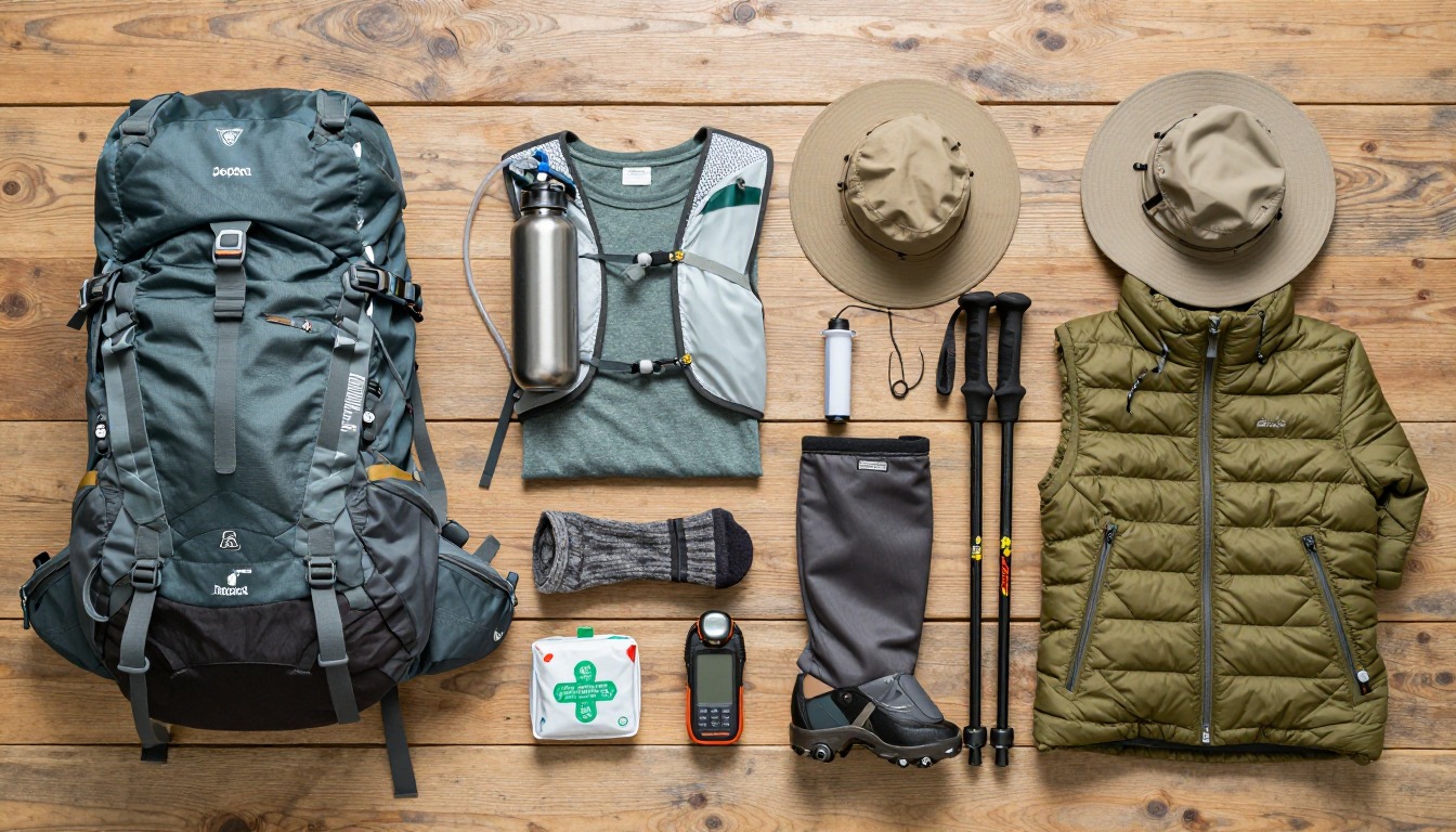
Complete gearsets for this trip
Full curated kits built for exactly this kind of hike.
Trail conditions, permits and access rules change without notice — always confirm current information on the official source above before you go. Some facts on this page are still pending owner verification and are marked accordingly. Product links and the accommodation map are affiliate links: we may earn a commission at no extra cost to you; product prices and availability are shown on Amazon, and accommodation prices on the booking site. See our affiliate disclosure.