
Affiliate disclosure: this page contains affiliate links. Purchases made through them may earn us a commission at no extra cost to you. See our affiliate disclosure.
In plain English
The West Highland Way is a long walk across Scotland, from the edge of Glasgow up to the town of Fort William near Britain's highest mountain. You don't do it in one go. You walk a chunk each day and sleep in a village, a bit like a road trip on foot where every stop is booked ahead of time.
The walking is mostly on paths and old tracks, not up steep peaks, but the days are long and the weather is often wet and windy. The biggest comfort trick is keeping your feet and body dry. Think of a rain jacket as an umbrella you wear, and a spare pair of socks in a waterproof bag as your reward at lunch.
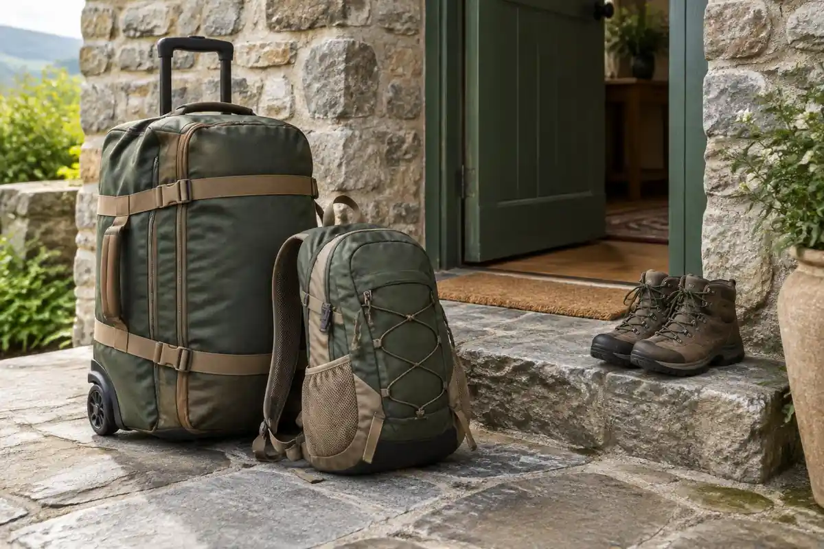
How big a bag you need depends on one choice. If a company moves your suitcase between beds each day, you only carry a small daypack with water, food and a jacket. If you camp, you carry everything, and the pack gets much bigger and heavier.
What the hike is like
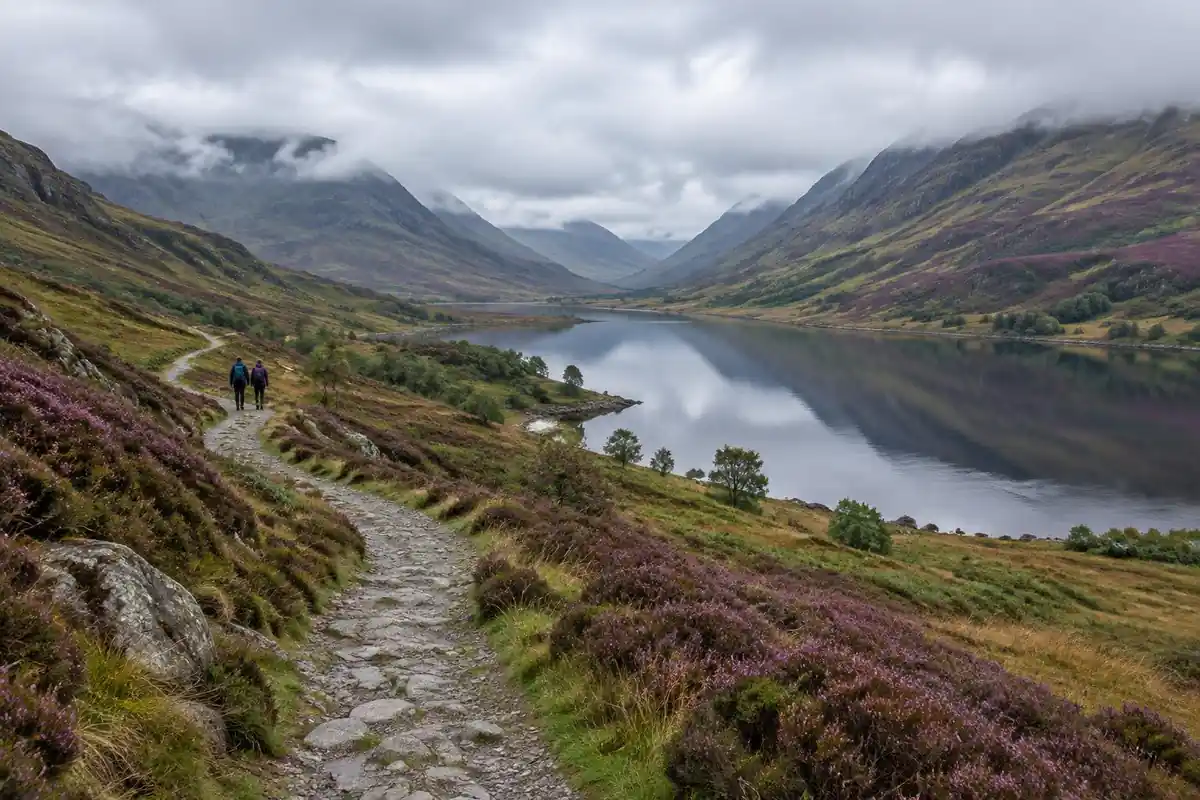
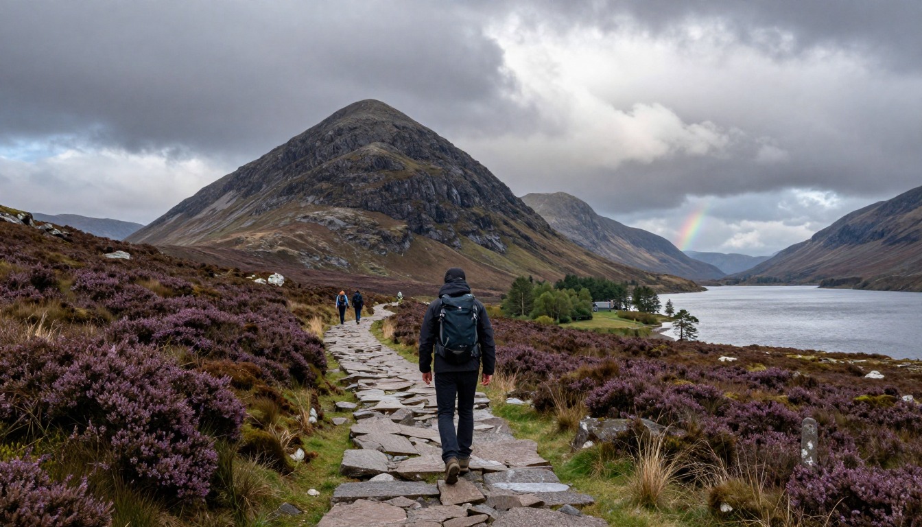
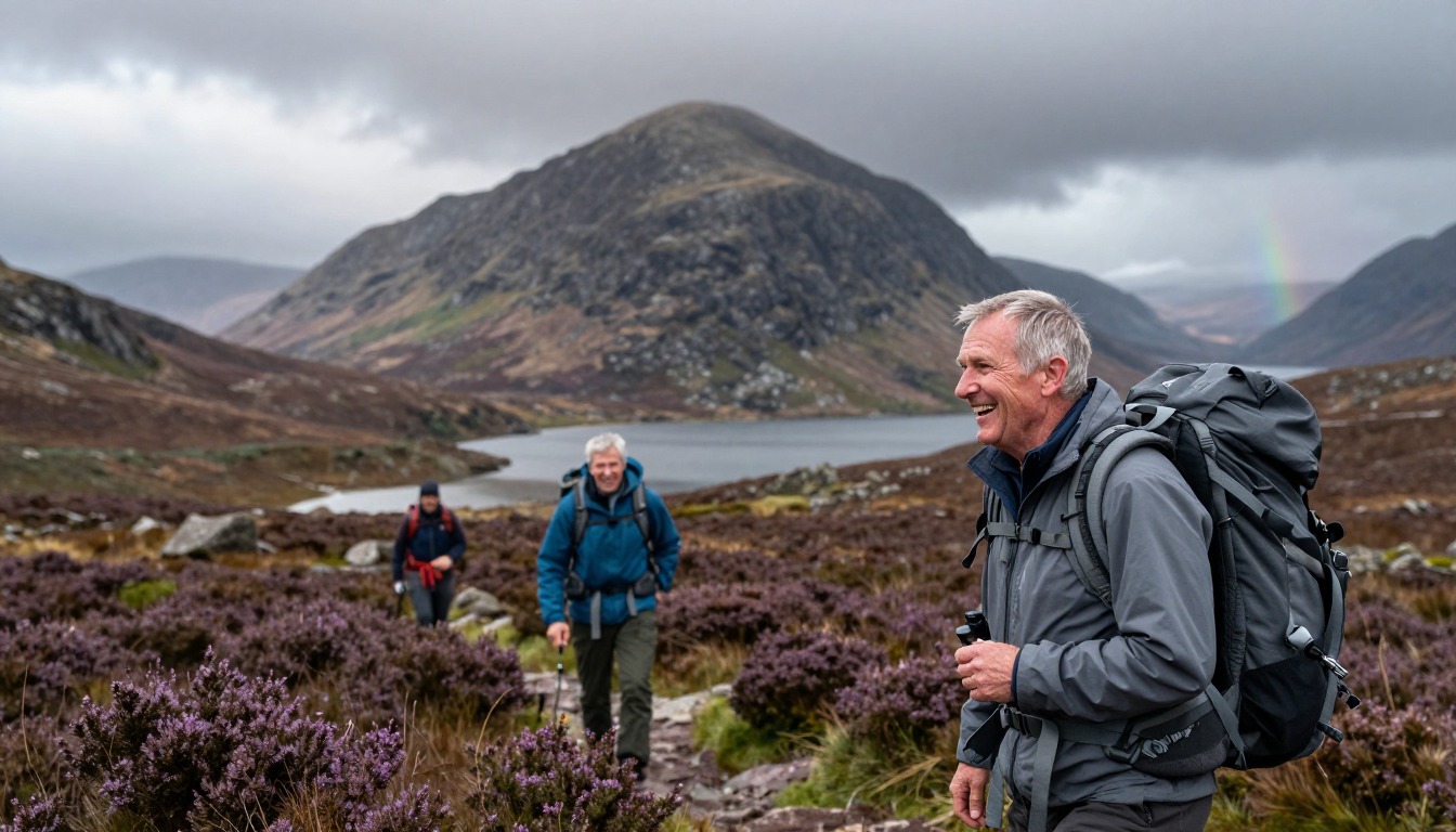
The Way opens gently — field edges, old drove roads and forestry track out of Milngavie — which gives you a day or so to find a rhythm before the walking turns awkward. The stretch along Loch Lomond's eastern shore is the part people remember: north of Rowardennan the path narrows to rooty, rocky single-track that climbs over and around boulders right at the waterline, and progress slows well below your normal pace. Beyond the loch the trail changes character completely, following old military road and cobbled track across the open bog and heather of Rannoch Moor with almost nothing to break the wind. The Devil's Staircase zigzags up from the head of Glencoe and drops steeply to Kinlochleven, then the route climbs one last time onto forest and moorland track for the run in to Fort William.
How to plan the itinerary
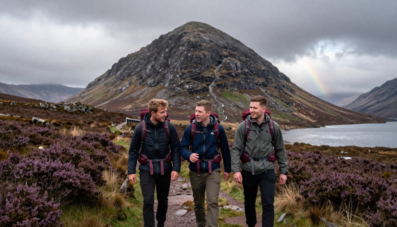
Most people walk northbound, Milngavie to Fort William, so the landscape builds as they go and the prevailing weather sits mostly behind them. About a week of walking is the common shape, with each night landing in one of the villages strung along the route — Drymen, Rowardennan, Tyndrum, Kinlochleven and the rest — which means the itinerary is really a list of bookings made before you leave home. Walkers who want easier days split the longer stages and add a night or two; fitter groups combine stages and finish sooner. Either way it pays to front-load conservative distances, because the loch shore is slower than it looks on a map and it falls early in the trip, while feet are still adjusting. Many people also add a spare day at the end in Fort William, to rest or to climb Ben Nevis.
Plan this trip in 5 steps
-
Pick the right pack
Match a pack to your trip, fit and priorities.
-
Plan food & water
Calories, food weight and water for your days on trail.
-
Estimate your time
Pre-filled with this trail’s distance and climb — adjust for your pace.
Trail-specific tips
Plan the Loch Lomond days around time rather than distance — that rooty shoreline eats hours, and walkers who pace it on mileage alone end up arriving at their bed in the dark. Expect wet feet somewhere; gaiters and a spare pair of socks in a dry bag earn their weight here more than most gear does. Midges are worst on still, damp evenings through the warmer months, so repellent and a head net are worth packing. If you use baggage transfer, check that the transfer list and your bookings match exactly. General safety and navigation basics live on /trail-smarts/.
Permits & rules
No permit is required to walk. Wild camping is generally allowed under Scottish access rights, but seasonal byelaws restrict it along parts of Loch Lomond — use managed campsites there.
Gear suited to this hike
Matched to the terrain and conditions here. Real products — check current price on Amazon.



Why the climb figures disagree, and how to turn them into hours
The official West Highland Way site gives the route as 96 miles from Milngavie to Fort William and lists it in eight sections: Milngavie to Drymen, Drymen to Rowardennan, Rowardennan to Inverarnan, Inverarnan to Tyndrum, Tyndrum to Inveroran, Inveroran to Kingshouse, Kingshouse to Kinlochleven, and Kinlochleven to Fort William.1 Those eight sections are a useful skeleton, but they are not eight equal days. Many walkers split the longer ones, which is how the common five-to-eight-day range comes about.
This page quotes about 3,155 m of total climb from the official designation, while GPS-based trackers report 4,000 m or more. Neither figure is wrong; GPS logs count every small rise, which adds up over 154 km. The difference matters when you estimate time. Naismith's rule in its classic form allows one hour per three miles plus one hour per 2,000 feet of ascent.5 That gives roughly 37 hours of moving time on the official climb figure and about 40 hours on the highest GPS figure. Mountaineering Scotland uses a slower variant, 4 km/h plus one minute per 10 m of ascent,6 which lands closer to 44 hours. Divide by your number of days and you can see why the Loch Lomond stages, where the ground slows you far below flat-path pace, deserve shorter daily targets.
Rain, wind and feet: the real conditions on Rannoch Moor
The open moor between Tyndrum and Kingshouse offers little shelter, and the risk there is steady chilling rather than extreme cold. CDC notes that hypothermia can develop even above 40°F when someone is chilled by rain, sweat or cold water, and lists hikers among the people at higher risk because they stay outdoors for long periods.2 Warning signs include shivering, fumbling hands, confusion and slurred speech, and the person affected often does not notice it happening. If someone shows those signs, get them warm and dry and get medical help.
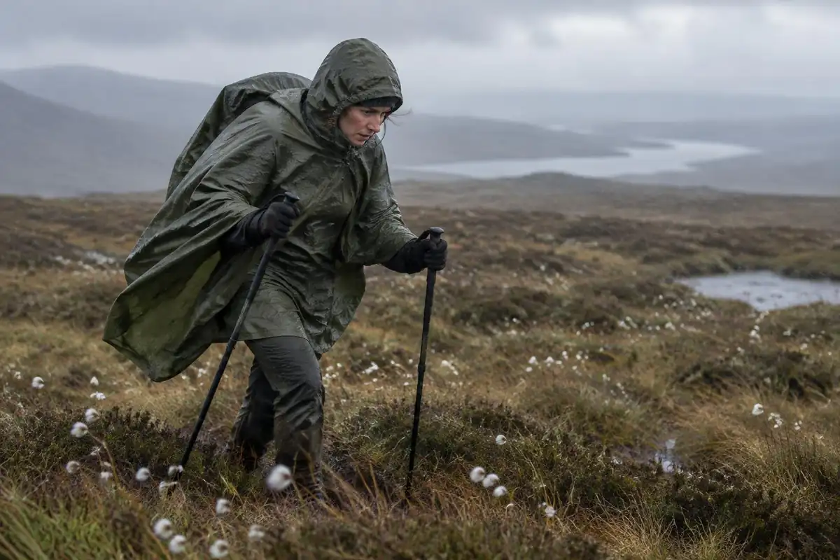
Feet are the other weak point. NIOSH says wet feet lose heat about 25 times faster than dry feet, and immersion (trench) foot can occur at temperatures as high as 60°F if feet stay wet for long periods.3 Changing into dry socks at lunch and at night is simple protection. Gaiters, which seal around the top of the boot to keep grit, water and debris out, help on the boggy stretches.7 For the jacket, a waterproof rating is expressed as hydrostatic head: if water breaks through a fabric under a 1-meter column, it is rated 1,000 mm.8 Higher numbers resist driven rain better, though seams and zips matter just as much.
Choosing the pack: baggage transfer versus carrying it all
The Way supports both styles, and the pack choice follows from it. The Washington Trails Association suggests 25–30 L for a full-day hike and 50–70 L for trips of three to seven nights.4 A walker using baggage transfer is effectively doing a string of day hikes and fits the smaller range; a camper carrying shelter, sleeping bag and several days of food fits the larger one.
Weight has a real cost over 96 miles. In a lab study, energy use while walking rose roughly in a straight line with load, by about 7.6 watts per extra kilogram.9 Campers can reduce that by watching base weight, meaning everything except food, water and fuel; Gossamer Gear defines 'lightweight' as under 20 lb and 'ultralight' as under 10 lb.10 Because this route passes villages every day or two, food carries are short, which is one reason the West Highland Way is a comfortable first multi-day trip for campers. Note that the official site describes the route as shared with other users such as cyclists and horse riders on some sections, so keep a pack that doesn't swing wide when you step aside.1
Common questions
Should I walk the West Highland Way north or south?
Northbound, from Milngavie to Fort William, is the standard direction and what almost all accommodation, baggage transfer and guidebook staging assume. It also means the scenery escalates as you go and the weather more often pushes you along rather than into your face. Walking southbound is perfectly possible, just less supported by the route's own infrastructure.
Is the Loch Lomond section really as hard as people say?
It is the most technically awkward walking on the route, though not dangerous. The path north of Rowardennan twists over tree roots, slabs and boulders close to the water, with constant small ups and downs that break your stride. Nothing about it requires scrambling skill, but it takes far longer than flat mileage suggests, so plan a shorter day for it.
Do I need navigation skills, or is the route waymarked?
The Way is waymarked throughout with the thistle symbol and is easy to follow in clear conditions. That said, the open crossing of Rannoch Moor and the climb over the Devil's Staircase have little shelter and can cloud over quickly, so carrying a map and compass — and knowing how to use them — remains sensible rather than optional on the high, exposed sections.
Can I walk it in fewer days than the usual schedule?
Experienced walkers do compress the route by joining stages, and some run it. The limiting factor is usually lodging rather than legs: beds sit in villages at fixed intervals, so a shorter schedule means longer days between the same fixed points. Camping gives more freedom to stop where you like, at the cost of carrying more weight.
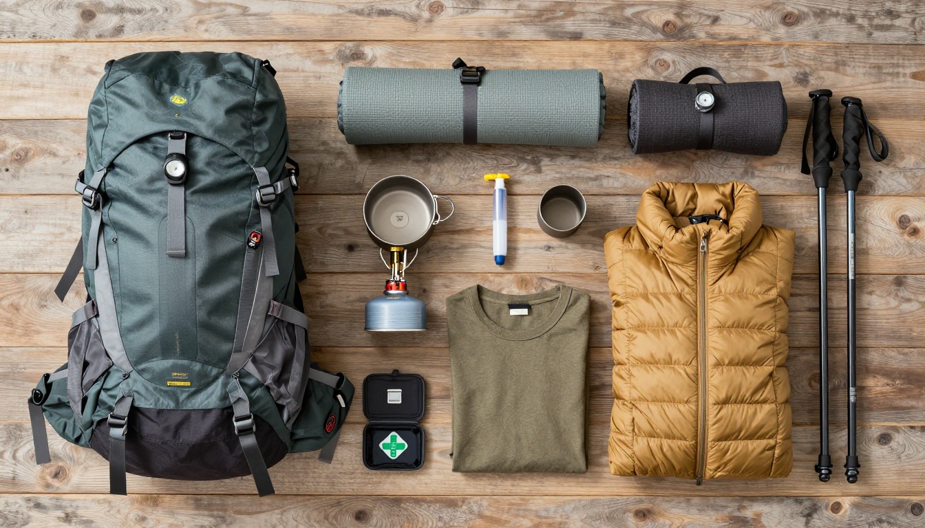
Complete gearsets for this trip
Full curated kits built for exactly this kind of hike.

Trail conditions, permits and access rules change without notice — always confirm current information on the official source above before you go. Some facts on this page are still pending owner verification and are marked accordingly. Product links and the accommodation map are affiliate links: we may earn a commission at no extra cost to you; product prices and availability are shown on Amazon, and accommodation prices on the booking site. See our affiliate disclosure.