
Affiliate disclosure: this page contains affiliate links. Purchases made through them may earn us a commission at no extra cost to you. See our affiliate disclosure.
In plain English
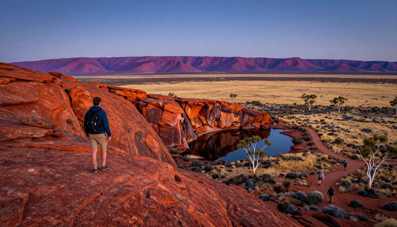
The Larapinta Trail follows a rocky mountain range in the center of Australia. It is split into numbered sections, so most people walk a few at a time. The ground is rough and rocky, and there is little shade except in gorges. The biggest issue is not the distance but water and heat.
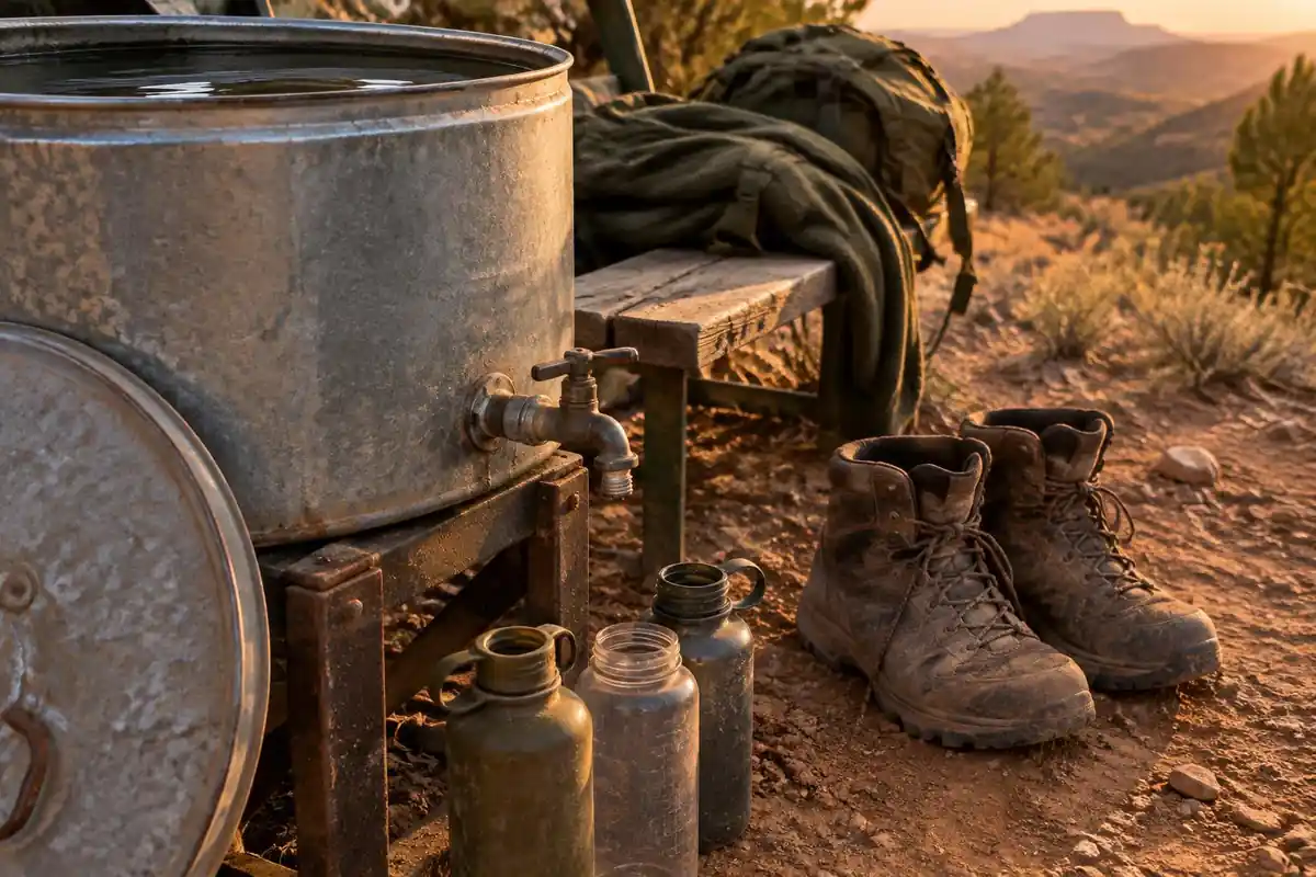
Imagine a desert walk where you can only refill at water tanks spaced along the way. Your day is planned from tank to tank. If a tank is empty, you need spare water to cover that gap. That is why people start before dawn, rest through the hottest hours and finish early.
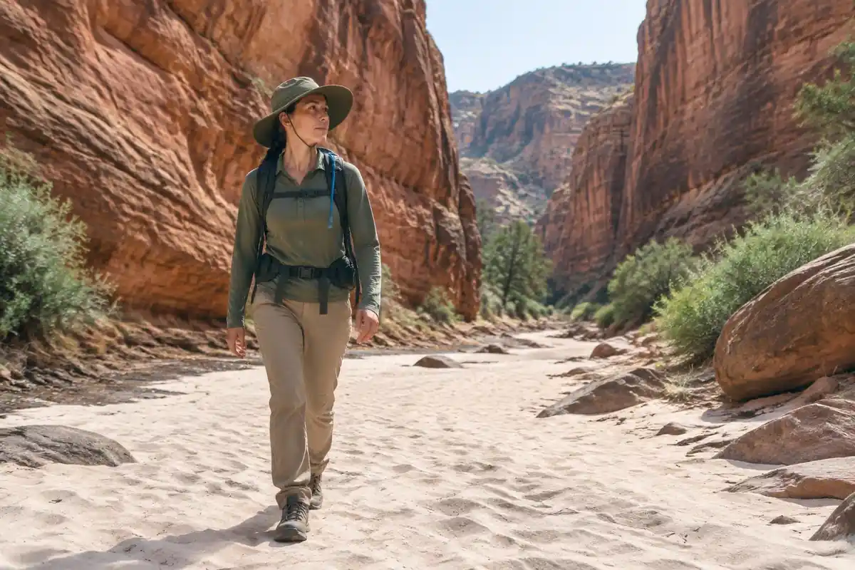
Your pack has to carry more water than you may be used to, plus sun protection, a hat and warm clothes for cold desert nights. Registering your trip with the park service, as the page notes, means someone knows where you are.
What the hike is like
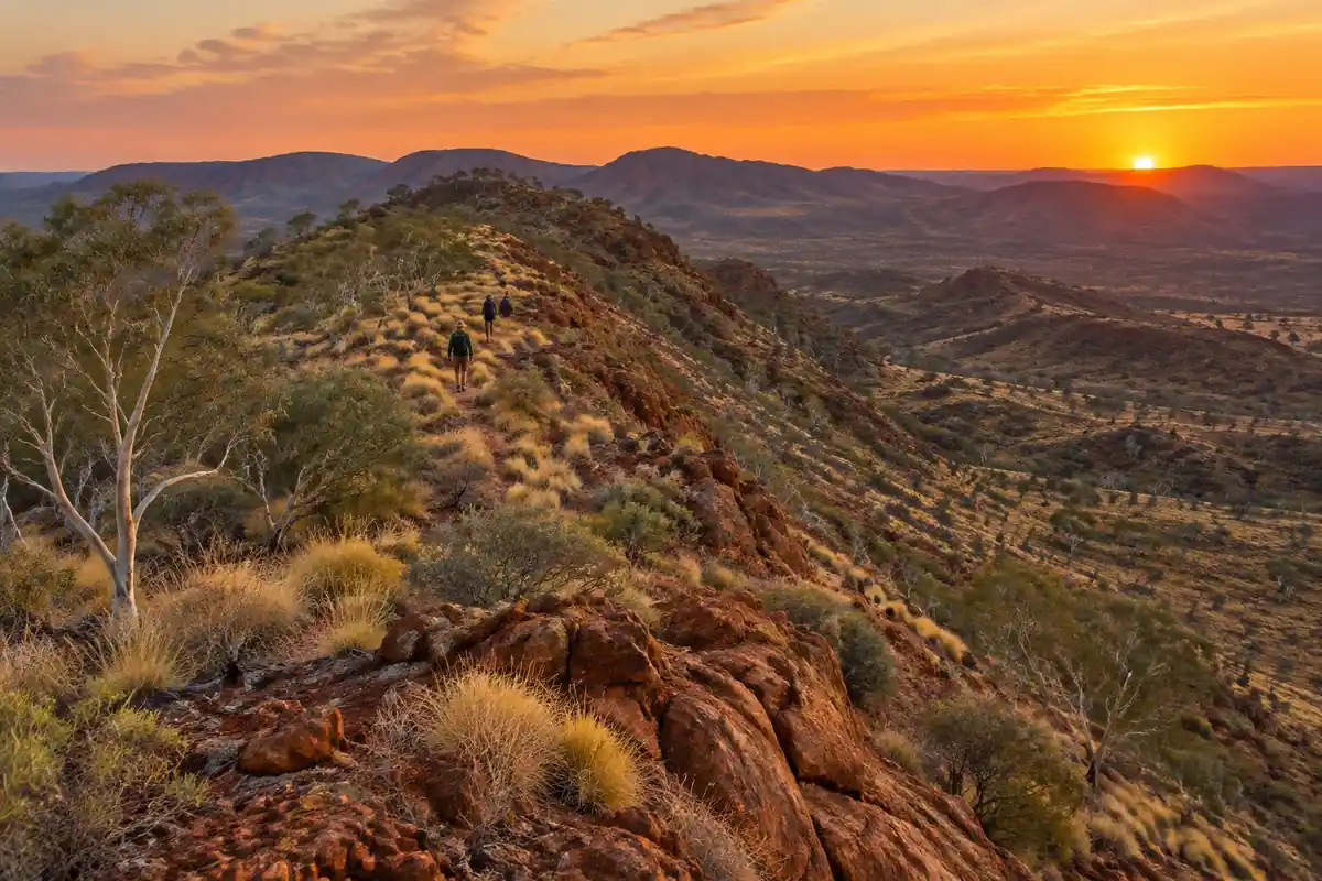
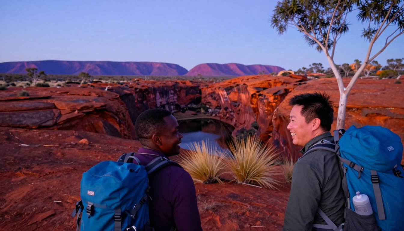
Larapinta walking is rock walking. The trail is divided into numbered sections, and the character repeats across them: long traverses of quartzite ridgeline where the surface is loose, angular rubble that rolls underfoot, dropping into gorges and dry sandy creek beds, then climbing back onto the next ridge. Markers guide the route across country that offers few natural handrails, and the ground is rarely smooth enough to let you stop watching your feet. Shade is intermittent at best, mostly found in the gorges rather than up high. What shapes the whole experience is water: tanks at trailhead campsites are the fixed points the walking is planned around, so the day's rhythm becomes walk to the next tank, refill, keep moving. Some sections include steep, rough climbs to ridge lookouts.
How to plan the itinerary
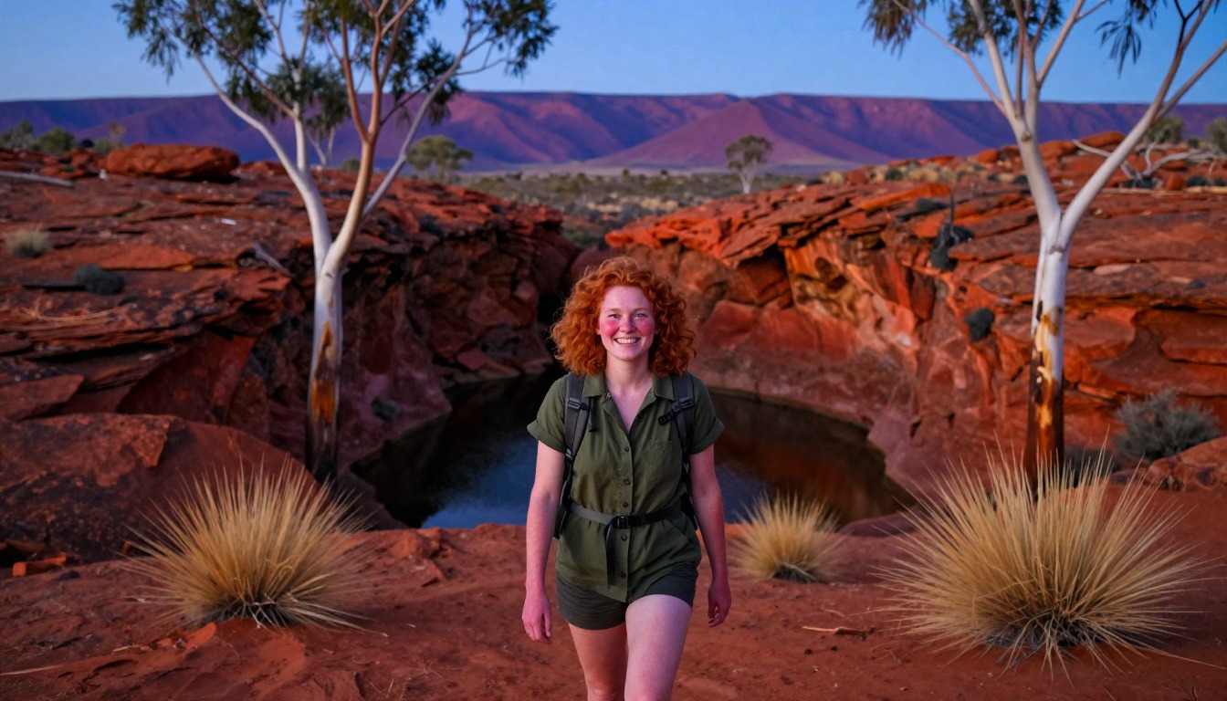
Most people walk sections rather than the full trail, choosing two or three that fit the time they have and using Alice Springs as the base for transfers between them. Walkers doing it end to end are out for weeks and stage the trip around food drops and water availability, either self-sufficient or with a supported operator handling transfers and resupply. Whatever the length, the daily shape is dictated by heat rather than distance: start before first light, do the ridge traverses in the cool part of the morning, and be at camp through the hottest hours rather than exposed on rock. That usually means shorter walking days than the same effort would produce elsewhere. Registering your trip with the park service is part of how the trail is managed and part of sensible water planning.
Plan this trip in 5 steps
-
Pick the right pack
Match a pack to your trip, fit and priorities.
-
Plan food & water
Calories, food weight and water for your days on trail.
Trail-specific tips
Front-load the day. The single biggest mistake on Larapinta is a leisurely start that leaves you traversing an exposed ridge in the middle of the afternoon, with no shade and the next tank hours away. Check tank status before each section — rainwater supplies can run low — and carry capacity for more than you expect to use. Sharp quartzite is brutal on footwear and worse on thin-soled shoes, so bring boots with stiff soles and good grip. Keep the trail markers in sight rather than short-cutting between them. General heat and hydration guidance is on /trail-smarts/.
Permits & rules
Multi-day walks and campsites must be booked online before you arrive (NT Parks and Wildlife), and NT Parks recommends carrying a satellite phone or personal locator beacon; plan carefully around the limited water tanks — this is a remote desert trail where summer heat is genuinely dangerous, so it is walked in the cooler months only. Many do supported sections with an operator.
Gear suited to this hike
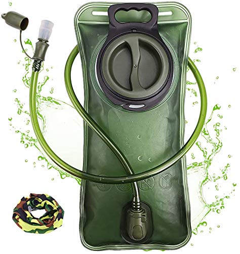
Matched to the terrain and conditions here. Real products — check current price on Amazon.



Water, registration and closures
The page's statements about tank water at trailhead campsites, trip registration and season, and distances such as 223 km and 12 stages, are planning guidance. Before you go, confirm with the Northern Territory park service that tanks are reliable, whether registration is expected and whether any section is closed, because water and fire conditions change during the year.
Water: a heavy resource
Water is the item that decides pack weight on desert trails. Guadalupe Mountains National Park in Texas advises one gallon of water per person per day and notes that water weighs about 8 lb per gallon, so a three-day, two-night trip at that rate means about 24 lb of water.1 That is a different desert, and Larapinta's own guidance comes from its park service, but the arithmetic is a good guide to how quickly a carry adds up between tanks.
Sweat losses are high in heat. The National Park Service says hikers can lose one to two quarts of water per hour, and it advises eating salty snacks to balance water intake because low blood sodium comes from drinking too much water while losing salt.2 CDC's Yellow Book agrees that sweat rates can reach 1 liter per hour and notes that drinking only enough to relieve thirst helps prevent low blood sodium.4 The two sources phrase this differently, so plan by the day's temperature and confirm your own needs.
Heat, sun and cold nights
Timing is a safety tool. The National Park Service says most heat-illness rescues involve hikers between 10 a.m. and 4 p.m.,2 which supports the page's advice to walk early and rest at camp through midday. The National Weather Service lists confusion, slurred speech and a body temperature above 103°F as heat stroke signs and calls it an emergency: call for help immediately.5
Sun exposure adds up on open rock. CDC notes UV is most intense from 10 a.m. to 4 p.m. and recommends SPF 30 or higher reapplied every 2 to 4 hours.6 After dark, clear desert skies can make a warm day end cold, and hypothermia can develop above 40°F when a person is chilled,3 so pack a warm layer and sleeping bag suited to the coldest expected night.
Common questions
Which sections should I pick if I only have a few days?
Choose based on the mix you want rather than a ranking — some sections are dominated by exposed ridge traverses with big views, others follow gorges and waterholes with more shade. Transfer logistics from Alice Springs also vary between trailheads, so check how each section connects before committing to a combination.
How much water do I need to carry?
More than most hikers are used to, because the spacing of the tanks rather than your thirst sets the amount. Plan each day around the next reliable refill point, confirm tank status with the park service before you set out, and carry enough capacity to absorb a dry tank without it becoming a crisis.
Can this be walked outside the cooler months?
It should not be. Central Australian summer heat on exposed, water-scarce ridgelines is genuinely dangerous rather than merely uncomfortable, which is why the accepted season sits in the cooler part of the year. Even within that window, days can be hot and nights surprisingly cold, so pack for both.
Is a guided section walk worth it?
For many walkers, yes. Supported operators handle transfers, water and camp logistics, which removes the parts of Larapinta that punish inexperience in desert country. Fully independent walking is entirely doable and popular too — the honest question is how much desert planning you want to own yourself.
Complete gearsets for this trip
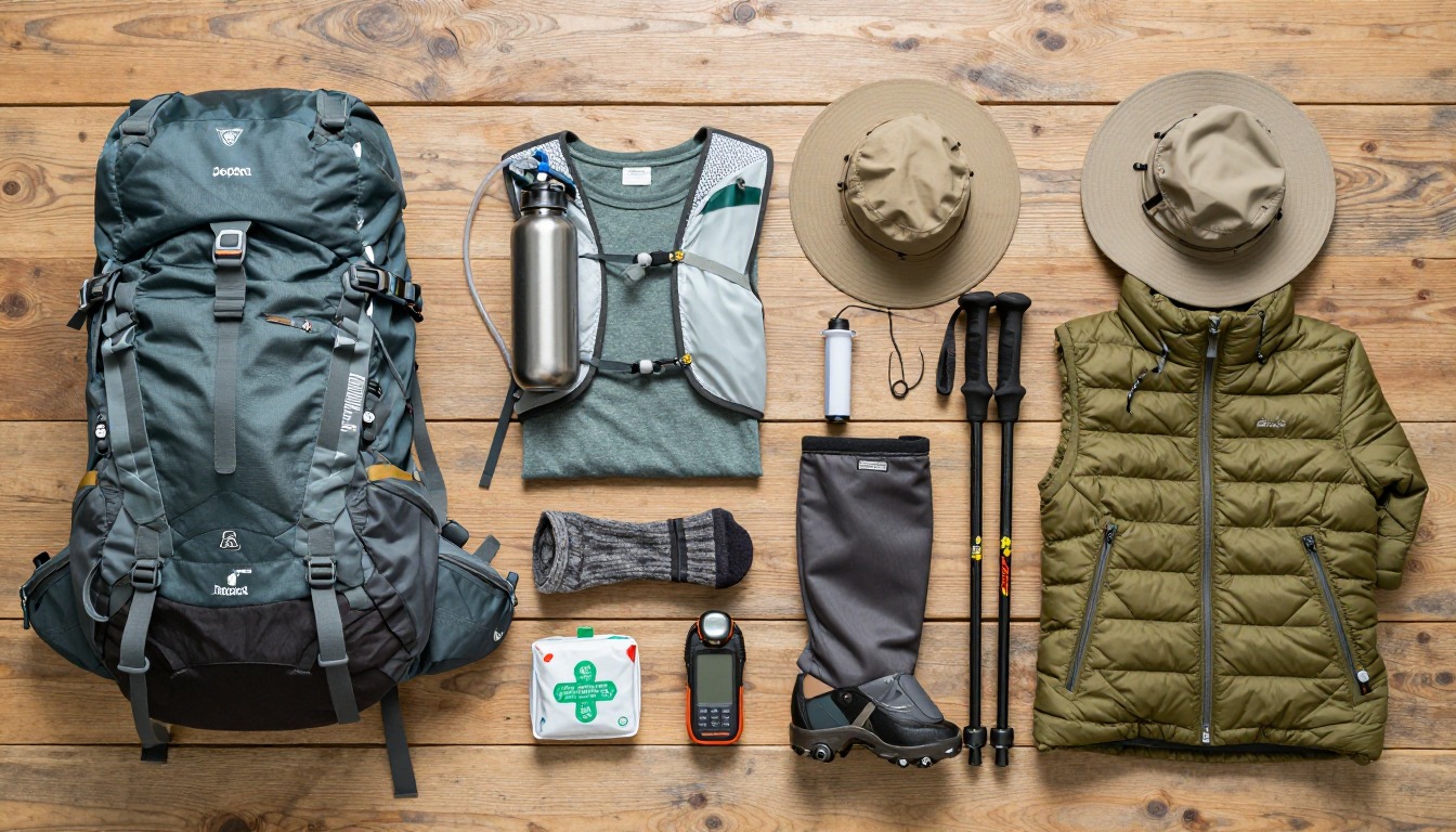
Full curated kits built for exactly this kind of hike.

Trail conditions, permits and access rules change without notice — always confirm current information on the official source above before you go. Some facts on this page are still pending owner verification and are marked accordingly. Product links and the accommodation map are affiliate links: we may earn a commission at no extra cost to you; product prices and availability are shown on Amazon, and accommodation prices on the booking site. See our affiliate disclosure.