
Affiliate disclosure: this page contains affiliate links. Purchases made through them may earn us a commission at no extra cost to you. See our affiliate disclosure.
In plain English
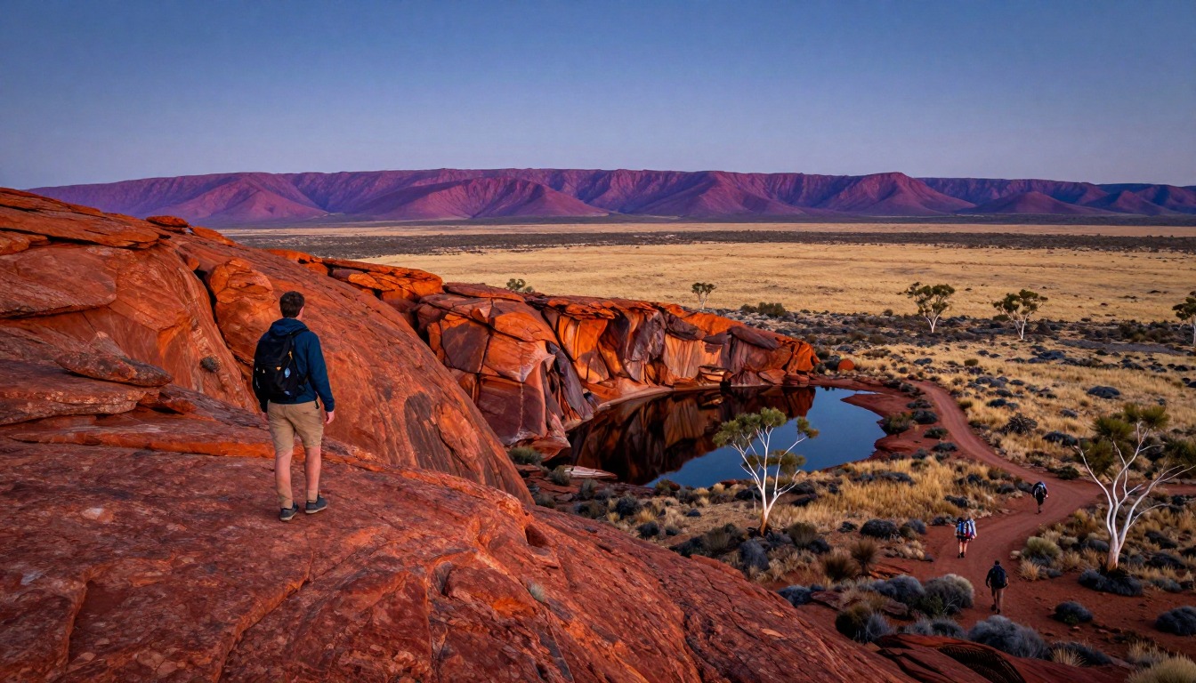
The Larapinta Trail is a long walk through the red, rocky ranges west of Alice Springs, in Australia's Northern Territory. Most people do not walk all of it in one go. They walk one section at a time, then go back to Alice Springs to rest, get more food and reset before the next section.
That means the lodging plan has two parts. At the end of each day you sleep at a campsite along the trail, and between sections you sleep in Alice Springs, which is also where supplies and transfers are arranged. Some walkers drop food ahead of time, and some join a guided operator that runs supported section walks.
The big difference from a wetter trail is water. Out here it is scarce, so each section is planned around the next water tank. Some campsites have rainwater tanks, but a tank can run low, so always carry more than you think you need. Confirm campsite rules and tank status with NT Parks and Wildlife before you go.
The Larapinta Trail runs roughly 223 kilometers along the ancient MacDonnell Ranges west of Alice Springs, through Tjoritja / West MacDonnell National Park in the Northern Territory. Most people walk it in sections rather than start to finish, which means where you sleep is really two questions: which trailhead campsite you're booked into that night, and how you're getting back to Alice Springs, the trail's supply and transfer hub, when the section ends.
Why hike here
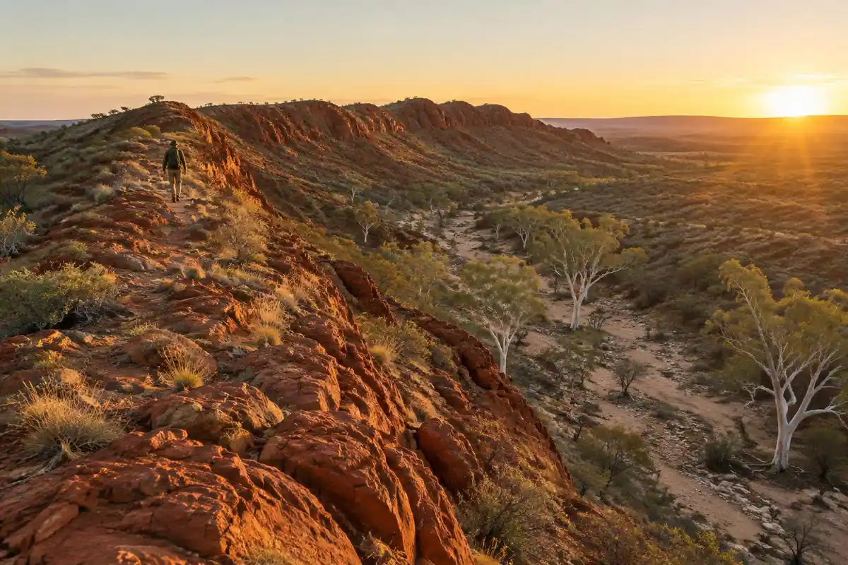
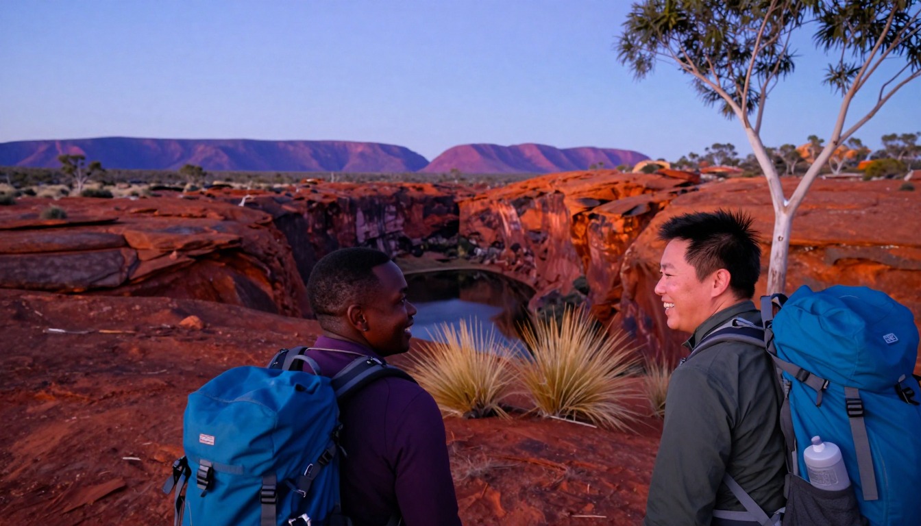
This is red-center country at its starkest: quartzite ridgelines that turn deep orange at sunset, gorges cut into rock that's been standing since before there was much of anything else on Earth, and waterholes that show up out of nowhere in a landscape that otherwise looks like it couldn't hold water at all. The trail runs ridge to gorge to ridge, so the character of the walk keeps changing even though the palette stays the same red, ochre, and white gum. Because water is scarce out here, every section has a rhythm built around it — walk to the next tank, refill, keep moving — which gives the whole trip a kind of desert discipline that flatter, wetter trails don't have. It rewards people who like their scenery big, their nights quiet, and their planning careful.
Getting there
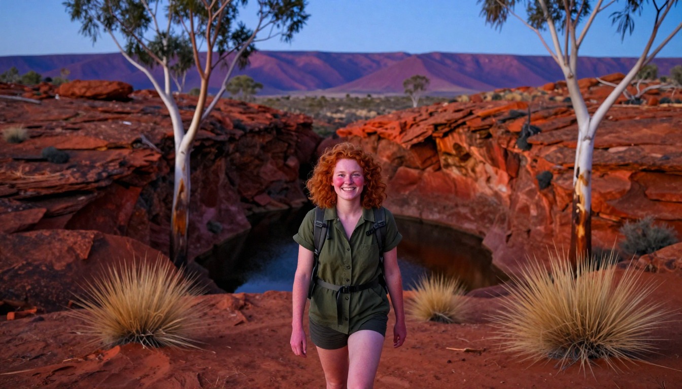
Alice Springs is the gateway for the whole trail. Most hikers fly into Alice Springs Airport, which has regular domestic connections from the larger Australian state capitals, then arrange transfers out to whichever trailhead they're starting from. Because the trail is done in sections by most walkers, many base themselves in Alice Springs between sections, using it for gear resupply, food drops, and pickups, and either self-drive or book transfers with a local operator to reach each start and end point along the range.
Where to stay
The realistic options, closest-to-the-trail first. Book through the official links — we don't list prices or availability because they change all the time.
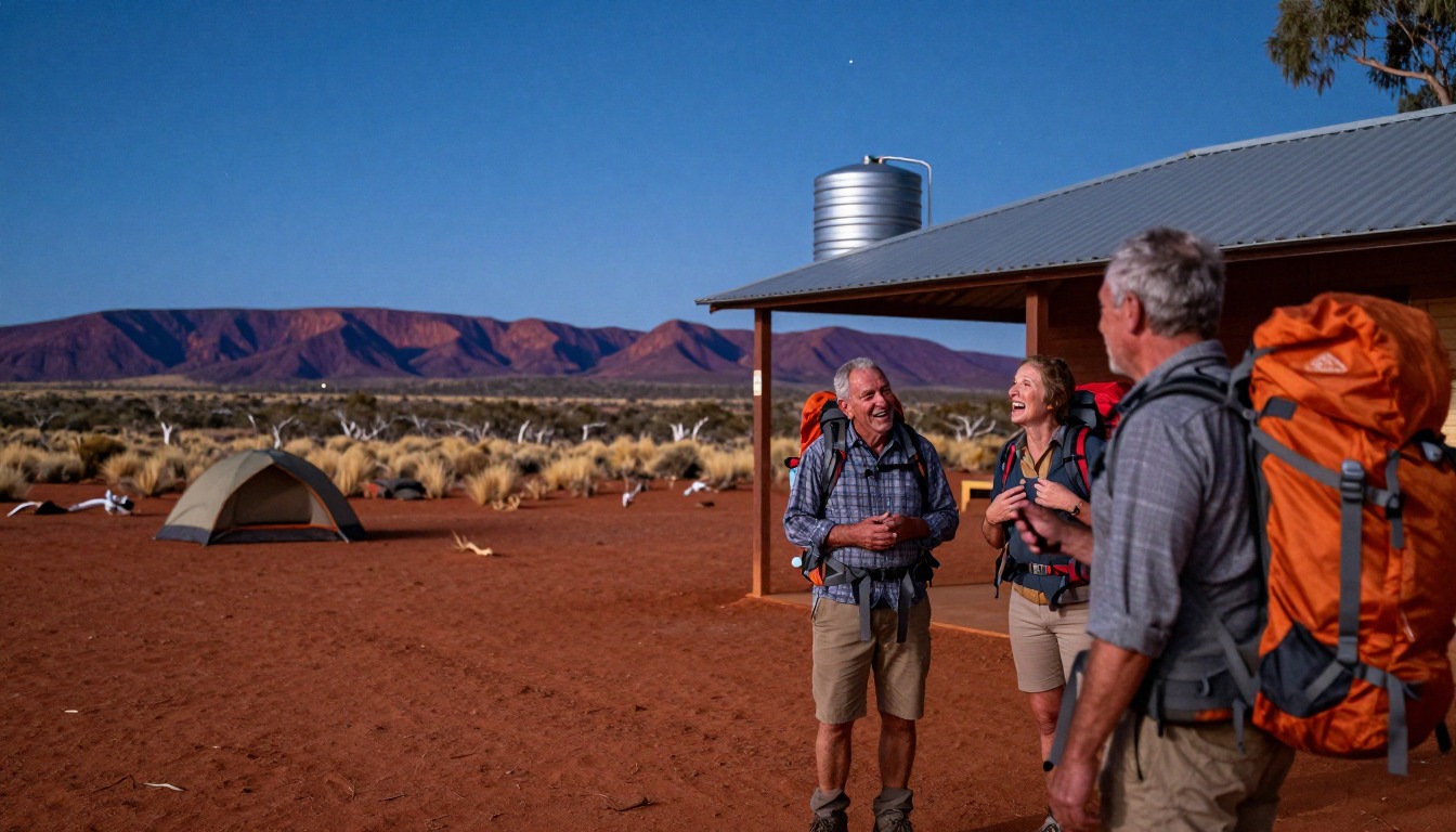
For example: Designated campsites at the section trailheads, some with rainwater tanks
Self-sufficient walkers doing sections or the full trail.
Water is scarce — plan around the tanks and book your walk and campsites before you arrive.
Trail info (Tourism NT); book multi-day walks and campsites online with NT ParksFor example: Hotels, motels and rentals in Alice Springs, the trail hub
Everyone before and after, and for food drops and transfers.
Alice Springs is the base; guided operators run supported section walks.
Nearby-town lodging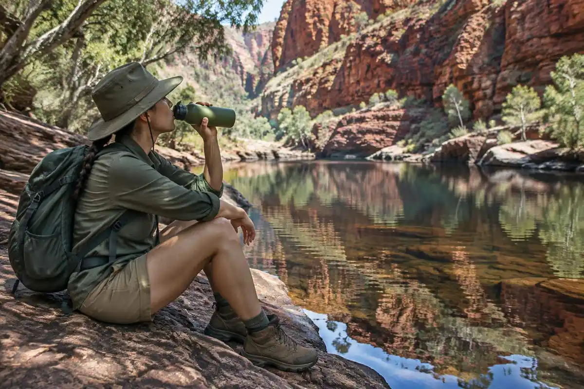
Permits & rules
Multi-day walks and campsites must be booked online before you arrive (NT Parks and Wildlife), and NT Parks recommends carrying a satellite phone or personal locator beacon; plan carefully around the limited water tanks — this is a remote desert trail where summer heat is genuinely dangerous, so it is walked in the cooler months only. Many do supported sections with an operator.
Gear you'll want for this trip
Matched to the terrain and conditions here. Real products — check current price on Amazon.


Water decides where you can sleep
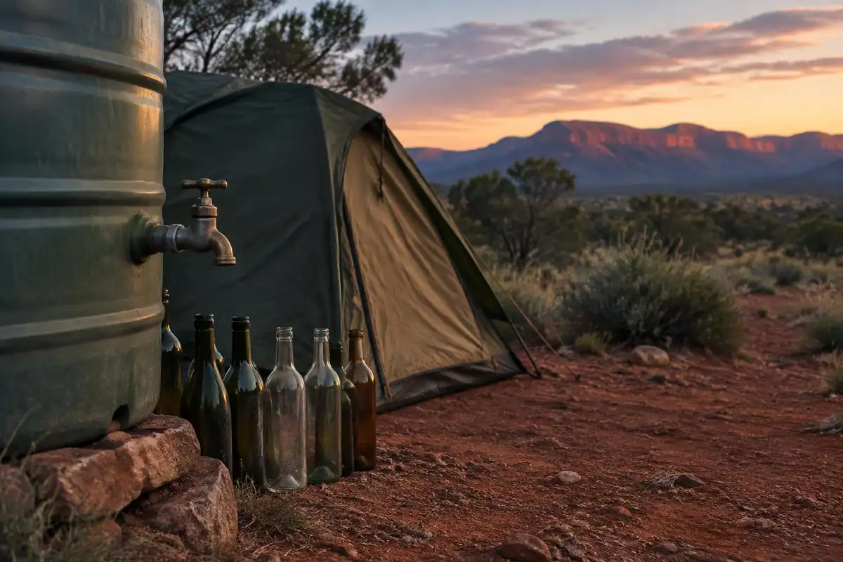
The page describes designated campsites at section trailheads, some with rainwater tanks, and sections built around walking from one tank to the next. That rhythm defines the gear you carry: a bigger water capacity than you would carry on a stream-fed trail, and a reliable way to make water safe. The CDC says water from a clear mountain stream can still contain germs and is generally not safe to drink untreated, that boiling is the best way to kill germs, and that most portable filters remove parasites but not viruses or bacteria.1 Tank water you did not carry from a tap deserves the same caution.
Water is heavy, so it shapes the pack too. The National Park Service's Grand Canyon guidance says hikers in heat can lose one to two quarts or liters of water per hour.2 Your carrying plan should cover the distance to the next tank plus a margin. Never treat a tank as guaranteed. Confirm with NT Parks and Wildlife whether tanks on your section are in service before you leave town.
Sections, transfers and being found
A section walk makes Alice Springs the hub of the trip. The page notes it is where hikers resupply, arrange food drops and organize transfers, either self-driving or with a local operator, to reach each start and end point. Treat every section as a small trip with three parts: the way in, the night or nights at campsites, and the way back to town. A missed transfer costs a night, so book the return before you set out.
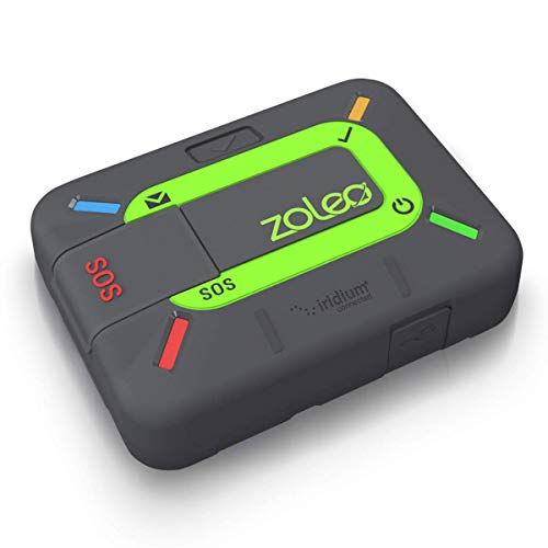
Register your plan and share it. The page says walkers should register their trip, and NT Parks and Wildlife is the authority to confirm the current registration process with. Separately, the National Park Service recommends leaving a trip plan with a trusted person who is not on the trip, hiking with a companion where possible, and not relying on a phone in an emergency.3 It also notes that search and rescue can take hours or days depending on weather and resources.4 On a remote trail that is a strong reason to keep your movements predictable.
Cooler months, heat and cold nights
The page says summer heat is genuinely dangerous and that the trail is walked in the cooler months only. Even then, midday can be hot. The CDC's travel guidance calls dehydration the most important predisposing factor in heat illness besides weather and effort, and says drinking only enough to relieve thirst helps prevent low blood sodium.5 The National Park Service notes most heat-illness rescues involve people hiking between 10 a.m. and 4 p.m.2 Starting early and resting through midday is a sensible schedule.
Cool months also mean cool evenings, and this affects what you sleep in. The CDC says hypothermia can develop in cool temperatures above 40 degrees Fahrenheit if a person gets chilled.6 NEMO explains that a sleeping bag's comfort rating is the temperature at which an average woman sleeps comfortably, while the limit rating is the point where an average man stays in thermal balance while curled up.7 Pack by the comfort rating, and keep a warm layer for camp.
Common questions
Do I need to book the campsites in advance?
Check current campsite rules and trip registration with NT Parks and Wildlife before you set out. Registering your plan also means someone official knows your itinerary if plans change, and it matters for water planning, since some campsites rely on rainwater tanks that can run low.
Should I hike Larapinta independently or with a guided operator?
Both are common. Many walkers do supported sections with a guided operator, who handles logistics, water, and transfers between trailheads, while others go fully self-sufficient, carrying their own gear and water and using Alice Springs for resupply. The right choice depends on your desert hiking experience and how much planning you want to take on yourself.
When is the best time to walk the Larapinta Trail?
The cooler months, from May through September, are the accepted season. Central Australian summer heat is genuinely dangerous for hiking, with daytime temperatures that make the exposed, water-scarce ridgelines risky. Outside that window, plan around the heat, carry more water than you think you need, and check conditions before you commit to dates.
Complete gearsets for this trip
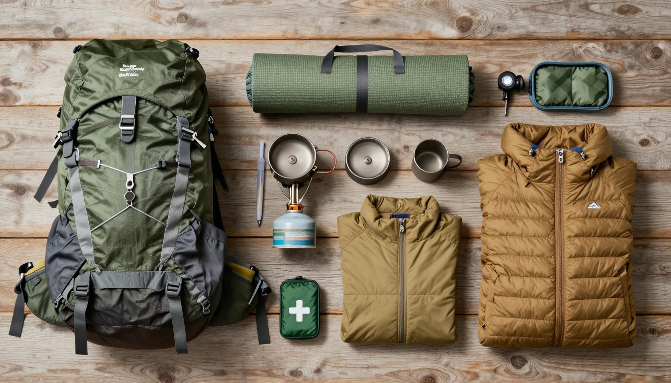
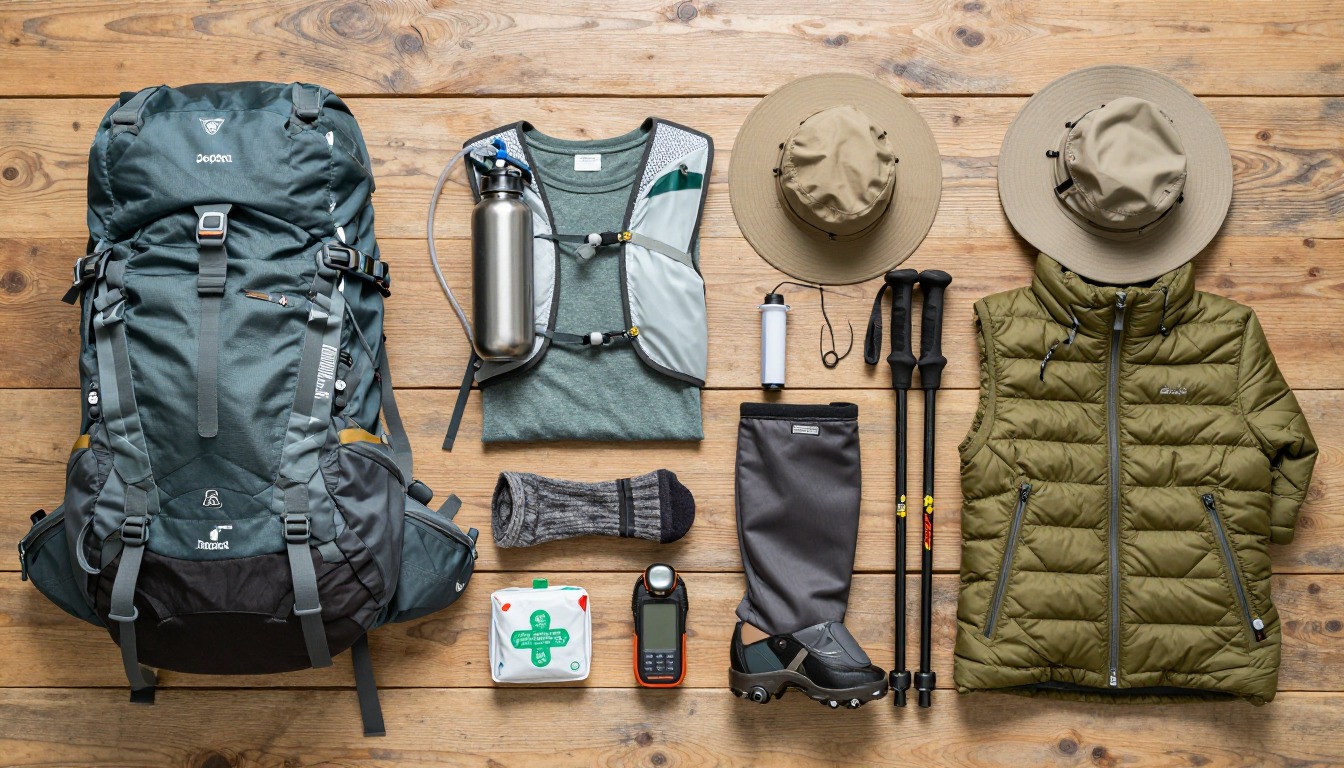
Full curated kits built for exactly this kind of hike — what to bring, why, and links to similar gear.
Lodging details are compiled from official parks, refuge associations and reservation systems and can change without notice. We publish no prices, availability or ratings — always confirm current information on the official site before booking or setting out. Product links and the accommodation map are affiliate links: we may earn a commission at no extra cost to you; product prices and availability are shown on Amazon, and accommodation prices on the booking site. See our affiliate disclosure.