
Hikes in New Zealand
Hikes in New Zealand, as listed here, range from a 16 km out-and-back climb at Roys Peak to multi-day point-to-point Great Walks like the Milford, Abel Tasman and Routeburn tracks. Difficulty runs from easy to moderate on the coast to strenuous on the volcanic Tongariro crossing, with most official seasons spanning roughly November to April.
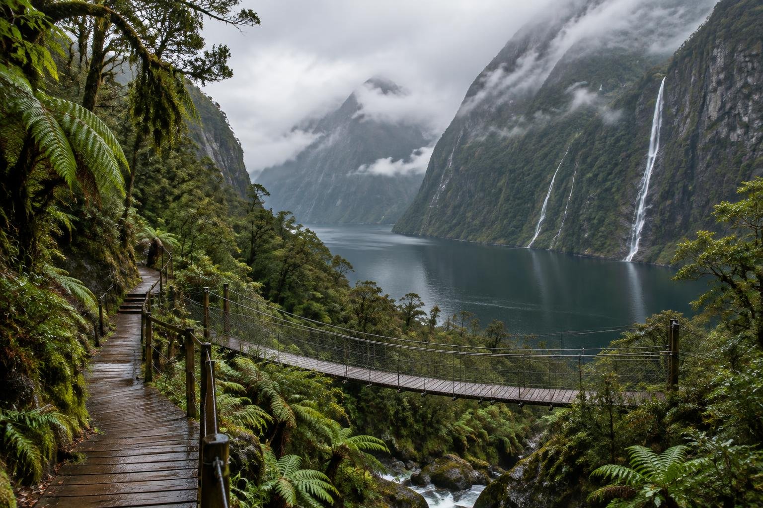
This collection gathers five New Zealand routes across the North and South Islands, all managed by or in partnership with the Department of Conservation. Four of them are point-to-point, meaning you finish at a different trailhead from where you start, so transport planning matters. They include three multi-day Great Walks, the Milford Track in Fiordland, the Abel Tasman Coast Track near Nelson and the Routeburn Track in the Southern Alps, plus the single-day Tongariro Alpine Crossing on the Central Plateau. The fifth, Roys Peak in Otago, is a 16 km return out-and-back with sustained uphill switchbacks. Together they cover coastal, alpine, volcanic and ridge terrain, with a wide spread of effort levels.
The routes at a glance
-
Milford Track — Fiordland · Fiordland · South Island, New Zealand
The Milford Track in Fiordland is a 53.5 km one-direction thru-hike walked over four days, with a high point of Mackinnon Pass at roughly 1,154 m. Its Great Walk grade is moderate to strenuous, and the pass crossing on day 3 is the hard day. It suits walkers comfortable with a sustained multi-day effort within the DOC season.
- Distance
- 53.5 km / 33.2 mi, point-to-point (one direction only)
- Difficulty
- Moderate to strenuous (DOC Great Walk grade; the Mackinnon Pass crossing on day 3 is the hard day)
- Official season
- 1 November to 30 April (Great Walk season; 2026/27 dates on the DOC page); outside it, off-season conditions apply
-
Abel Tasman Coast Track · Nelson · South Island, New Zealand
The Abel Tasman Coast Track runs 60 km one-way from Mārahau to Wainui and is walked in three to five days. DOC grades it easy to moderate, describing a well-formed coastal track, though some sections are steep, rough or muddy. It suits those wanting a flexible multi-day walk, and it can be walked year-round.
- Distance
- 60 km one-way, Mārahau to Wainui (walked in 3-5 days)
- Difficulty
- Easy to moderate (Great Walk grade — well-formed coastal track; DOC notes some sections are steep, rough, or muddy)
- Official season
- October to April, though it walks year-round
-
Routeburn Track · Southern Alps · South Island, New Zealand
The Routeburn Track covers about 32-33 km one-way between The Divide and the Routeburn Shelter near Glenorchy, usually over two to three days. It is graded moderate to challenging, and DOC recommends backcountry experience, especially outside the Great Walks season. It suits walkers with some alpine-style experience.
- Distance
- ~32-33 km one-way (The Divide to Routeburn Shelter/Glenorchy, or reverse), typically walked in 2-3 days
- Difficulty
- Moderate to challenging (Great Walk grade; DOC recommends backcountry experience, especially outside the guaranteed Great Walks season)
- Official season
- November to April (Great Walk season; check DOC for exact dates)
-
Tongariro Alpine Crossing · Central Plateau · North Island, New Zealand
The Tongariro Alpine Crossing is a 20.2 km one-way route from Mangatepōpō to Ketetahi, climbing from 1,120 m to Red Crater at 1,886 m before descending to about 760 m. Sources describe it as a demanding, strenuous full-day tramp of 6-9 hours. It suits fit walkers; winter requires alpine skills and gear.
- Distance
- 20.2 km, one-way, Mangatepōpō to Ketetahi
- Difficulty
- Strenuous (DOC and official sources describe it as a demanding full-day tramp; 6-9 hours)
- Official season
- November to April; winter needs alpine skills and gear
-
Roys Peak · Otago · South Island, New Zealand
Roys Peak in Otago is a 16 km return out-and-back with over 1,200 m of climbing, mostly on sustained uphill switchbacks and no technical climbing. DOC says high fitness is needed, and it is rated strenuous. It suits strong day-hikers, and the track closes for lambing, about October to November.
- Distance
- 16 km return
- Difficulty
- Strenuous (DOC: 'high fitness needed' — sustained uphill switchbacks, no technical climbing)
- Official season
- Spring to autumn; the track closes for lambing (about Oct–Nov)

How to choose between them
Start with time and route type. If you have one day, the Tongariro Alpine Crossing (6-9 hours, strenuous) and Roys Peak (16 km return, strenuous) are the options, but the crossing is point-to-point while Roys Peak returns to its start. For multiple days, the Abel Tasman Coast Track is the gentlest, graded easy to moderate and walked in three to five days. The Routeburn Track is moderate to challenging over two to three days, and the Milford Track is moderate to strenuous over four days, with the Mackinnon Pass crossing as its hard day. Consider permits and booking rules for the Great Walks on the DOC pages, along with how you will get back to your starting point on the point-to-point routes.
When to go
The official seasons here cluster in the southern-hemisphere warm months. The Milford Track runs 1 November to 30 April, the Routeburn and Tongariro crossings run November to April, and the Abel Tasman Coast Track is listed as October to April, though it can be walked year-round. Roys Peak is a spring-to-autumn track that closes for lambing, about October to November. Outside the official Great Walk seasons, off-season conditions apply, and Tongariro in winter needs alpine skills and gear. Always confirm current dates, closures and conditions with the Department of Conservation or the relevant managing authority before you go.

Common questions
Which New Zealand hike here is the easiest?
The Abel Tasman Coast Track has the gentlest grade in this collection, rated easy to moderate by DOC as a well-formed coastal track. DOC still notes some sections are steep, rough or muddy, so it is not uniformly easy.
Which of these hikes can be done in a single day?
The Tongariro Alpine Crossing (20.2 km one-way, 6-9 hours) and Roys Peak (16 km return) are day routes. Both are rated strenuous, so they suit walkers with good fitness who are prepared for a demanding day.
Are these hikes loops or point-to-point?
Four are point-to-point: Milford, Abel Tasman, Routeburn and Tongariro. Roys Peak is an out-and-back, so you return the way you came. For point-to-point routes, plan transport between the two trailheads in advance.
When is the best time to hike in New Zealand?
Most official seasons in this collection fall between October or November and April. Roys Peak is spring to autumn but closes for lambing around October to November. Confirm exact dates with the Department of Conservation before planning.
Sources
Facts come from each route's official managing authority, linked on its trail guide:
- Department of Conservation (DOC) — doc.govt.nz (Milford Track — Fiordland)
- Department of Conservation (DOC) — doc.govt.nz (Abel Tasman Coast Track)
- Department of Conservation (DOC) — doc.govt.nz (Routeburn Track)
- Department of Conservation (DOC) — doc.govt.nz (Tongariro Alpine Crossing track page) (Tongariro Alpine Crossing)
- Department of Conservation & landowners — doc.govt.nz (Roys Peak Track page) (Roys Peak)
Conditions, permits and access rules change without notice — confirm current information with each managing authority before you go. See our editorial policy.