
Affiliate disclosure: this page contains affiliate links. Purchases made through them may earn us a commission at no extra cost to you. See our affiliate disclosure.
In plain English
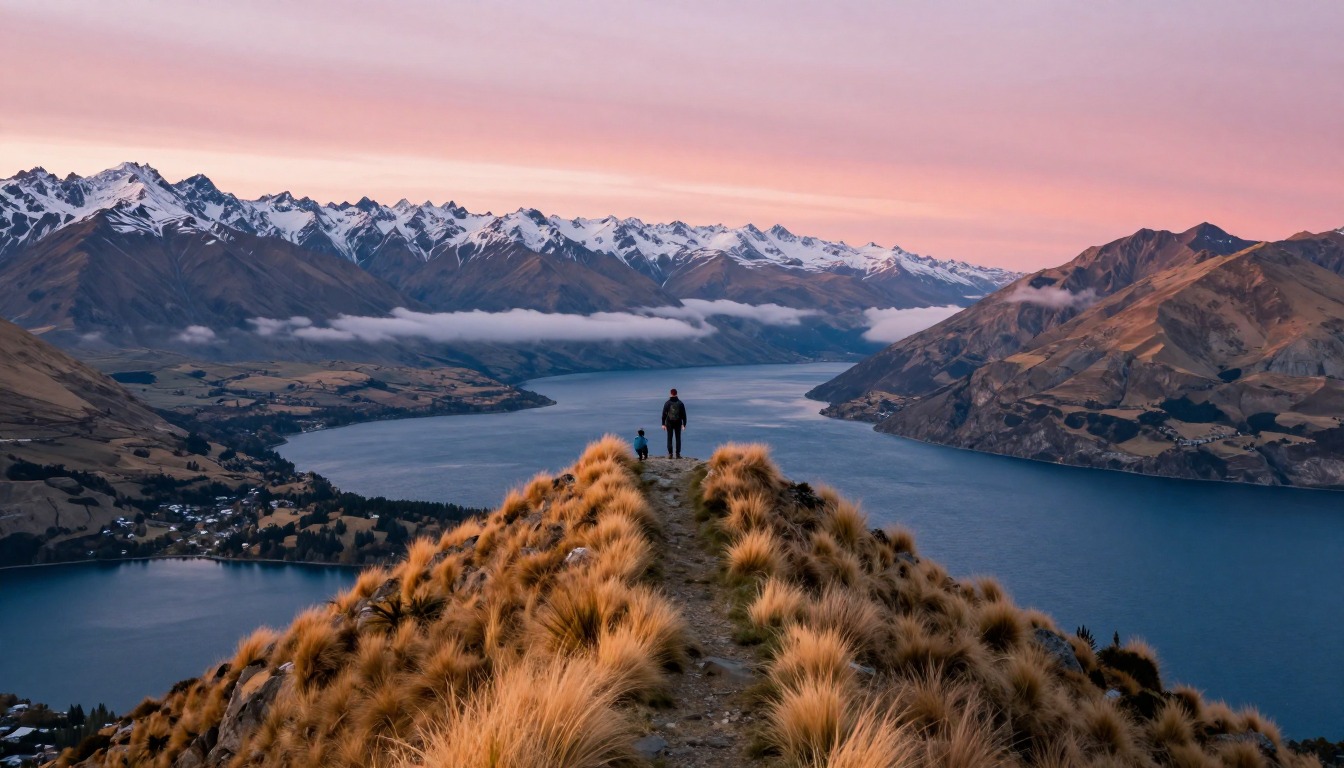
Roys Peak is a steep day hike above Lake Wānaka in New Zealand. The track is a wide farm road that zigzags up a hillside in long switchbacks, which are turns that make a steep slope easier to climb. There is no scrambling. The challenge is that you climb without a break for hours, with no trees for shade and no streams for water.
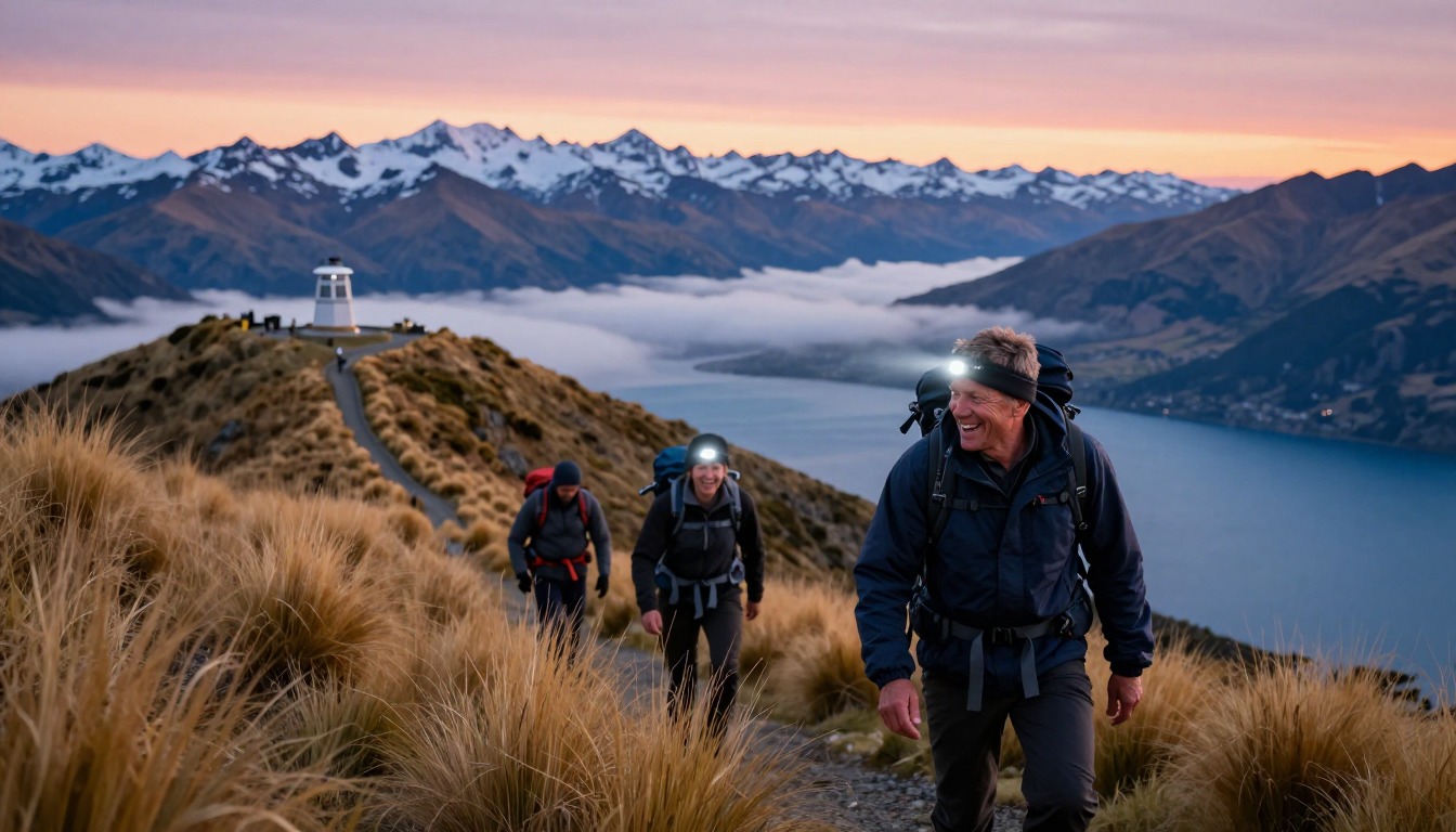
Because there is no shade, the sun is the biggest factor. On a clear day, midday hiking here can be hard work. Many people start before sunrise to catch the light and climb in cooler air. That means walking in the dark with a headlamp, and waiting on top in the wind while your body cools.
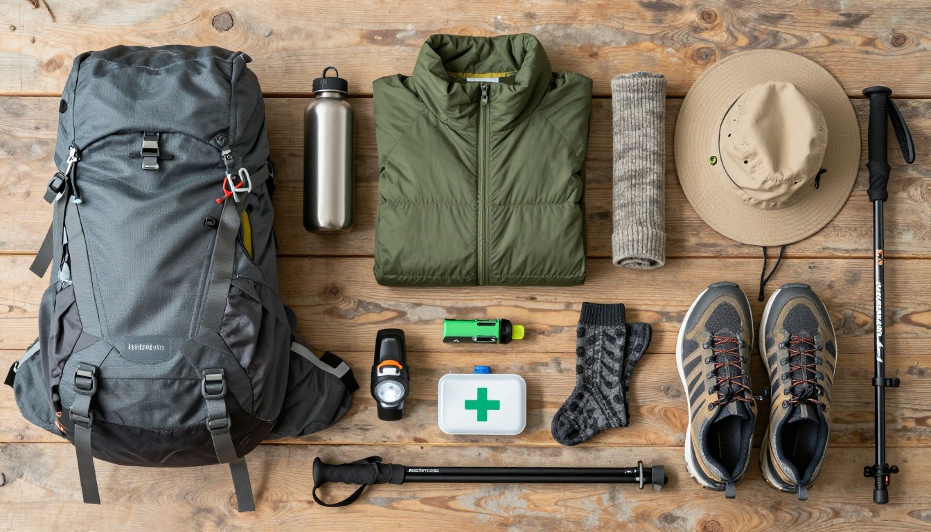
Your pack should be a small daypack with plenty of water, snacks, sun protection, a warm jacket and a headlamp. Water is heavy, so carry enough but not more than you need. Remember that the trail crosses working farmland, so you need to follow signs and any closures.
What the hike is like
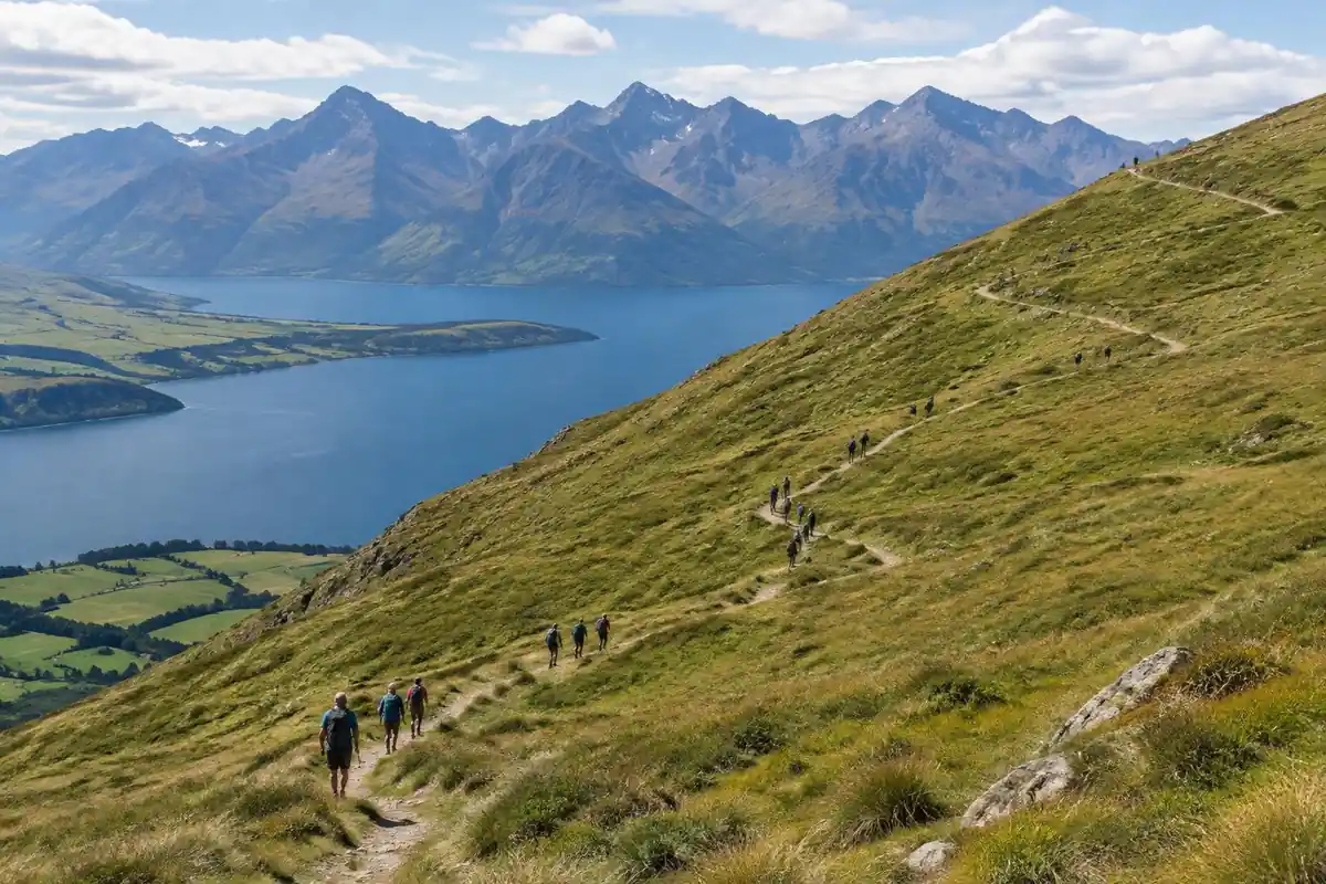
Roys Peak is one long, honest gradient and very little else. The track is a wide farm road climbing in enormous switchbacks across open grazing country, the surface firm gravel and packed dirt, the zigzags so regular that the whole climb settles into a rhythm within the first half hour. There is no scrambling, no route-finding, no exposure and essentially no flat ground — you gain height continuously from the car park to the ridge. There is also no shade and no water anywhere on the climb, so the sun is a bigger factor than the terrain. Sheep graze the slopes and the trail crosses working farmland. Higher up, the route reaches the narrow spur that appears in every photograph of this place, then continues along the ridge to the true high point beyond it.
How to plan the itinerary
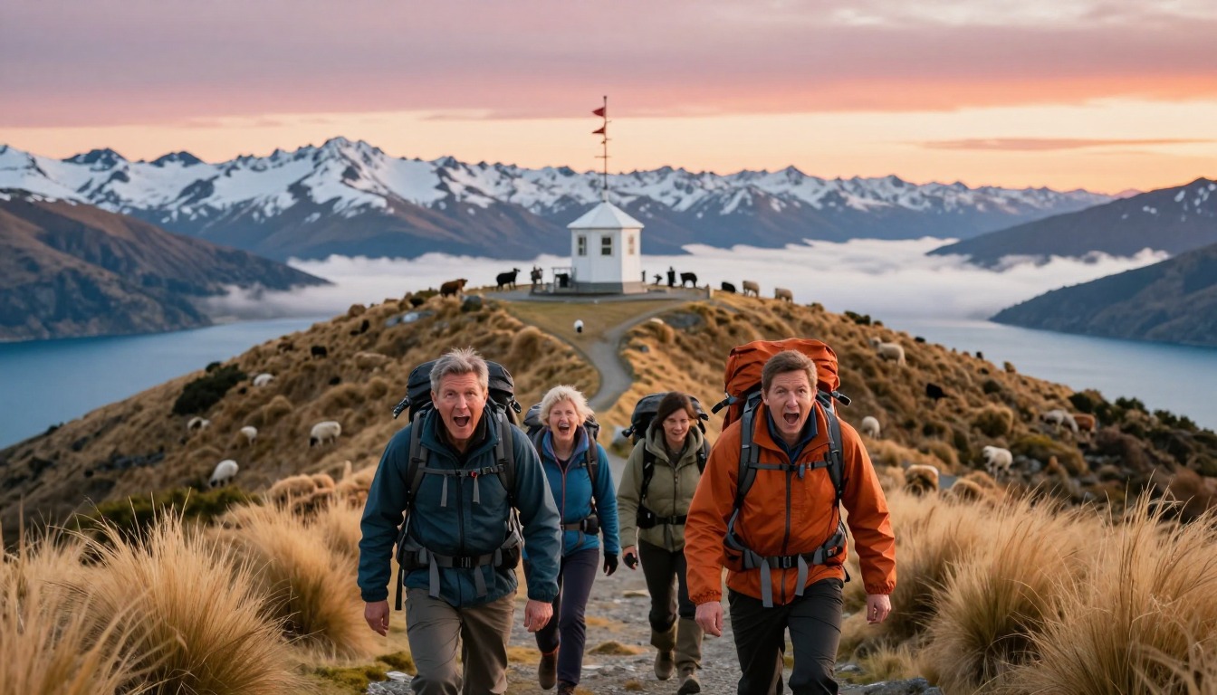
This is an out-and-back day hike, usually a big half day, and the only real decision is when to start. Hikers chasing the classic light leave in the dark with headlamps and reach the ridge around sunrise, which also means climbing in cool air and finding a parking space at a trailhead known to fill early. Others start at first light for the same reasons minus the headlamp. A midday start on a hot, clear day is the version people regret, because the climb is entirely unshaded. Budget time for the ridge itself: the famous viewpoint spur sits below the actual summit, and continuing to the top adds more climbing that many hikers skip without realizing it exists. Then factor in that the descent is long even though it is all downhill.
Plan this trip in 5 steps
-
Pick the right pack
Match a pack to your trip, fit and priorities.
-
Plan food & water
Calories, food weight and water for your days on trail.
Trail-specific tips
Set a pace you could hold for hours and refuse to break it — the gradient never relents, so the people who charge the first switchbacks are the ones sitting down an hour later. Carry more water than feels sensible, plus real sun protection; there is nowhere to top up and nowhere to hide. A queue often forms at the photo spur, so factor in standing around in the wind while you cool off. On the way down, the firm gravel is slick underfoot for tired legs, and poles help. DOC closes the track for lambing from October 1 to November 10 each year and suggests Isthmus Peak Track as an alternative, so check the current notice before you travel. General hydration and pacing habits live on /trail-smarts/.
Permits & rules
No permit is needed, but the track crosses working farmland and closes each year for the lambing season (roughly October to November) — check before you go. It is a relentless, exposed climb with no shade or water, so carry plenty.
Gear suited to this hike
Matched to the terrain and conditions here. Real products — check current price on Amazon.


Closures, distance and what DOC says
DOC lists Roys Peak Track at 16 km return, 5 to 6 hours, climbing over 1,200 m to a summit at 1,578 m. It says the track crosses private farmland, so walkers should stay on the marked track.1 The track is closed for lambing from 1 October to 10 November each year and reopens on 11 November, and DOC suggests Isthmus Peak Track as an alternative during the closure.1 Closure windows can change, so check the current notice before you travel.
DOC says summer can be very hot with no shade or water on the track, and that snow and ice in winter make it much more difficult.1 A trail across working farmland can be closed to protect livestock, and turning up to a closed gate wastes a whole trip.
Sun, heat and the water you must carry
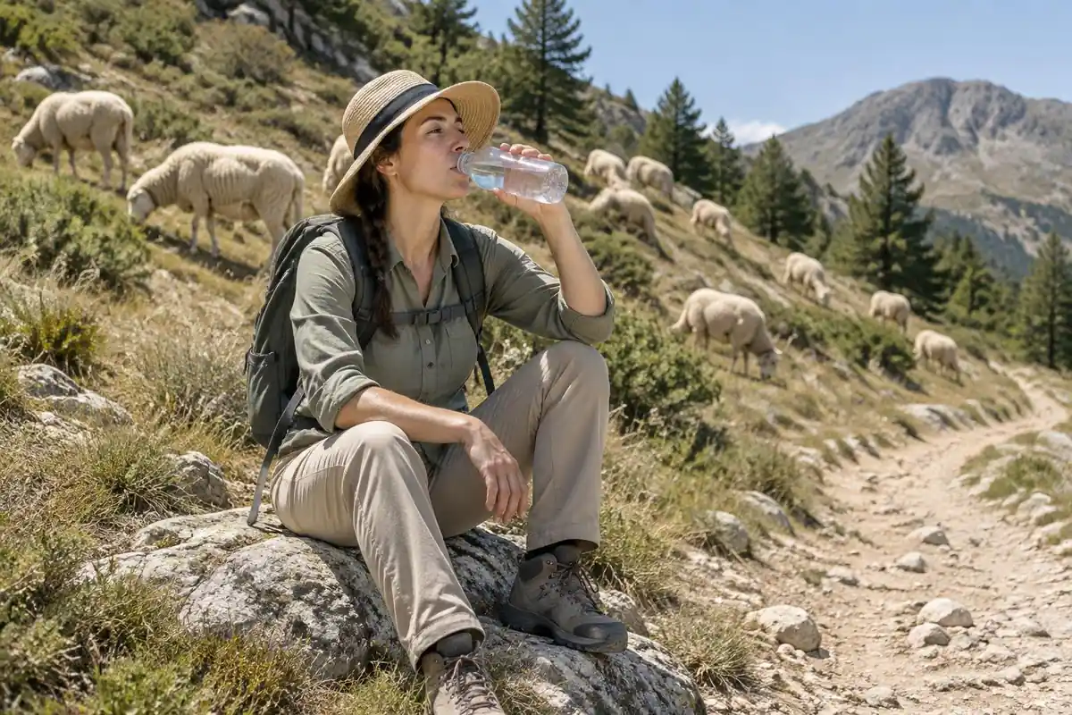
There is no shade or water on the climb. The National Park Service says hikers in heat can lose one to two quarts of water per hour, that most heat-illness rescues involve hikers between 10 a.m. and 4 p.m., and that low blood sodium from drinking too much water is a risk, so eating salty snacks helps.2 CDC's Yellow Book adds that sweat rates can reach 1 liter per hour and that drinking only enough to relieve thirst helps prevent hyponatremia.5 Those two sources differ slightly in framing, so use them as a range and adjust for the day's temperature.
Water weighs about 8 lb per gallon according to the National Park Service.3 A few liters is a meaningful share of a daypack load, so put it in the pack rather than on the hip belt or in loose bottles that swing. Sun protection matters too: UV intensity increases about 6% per kilometer of elevation, and overcast skies still transmit about 31% of UV.6
Climbing in the dark and coming down
A pre-dawn start calls for a headlamp, and the National Park Service recommends headlamps as the light source because they are hands-free.4 Carry fresh batteries or a spare, and bring more warm clothing than the climb suggests, because you cool quickly when you stop on the ridge. CDC says hypothermia can develop above 40°F after a chill from sweat or wind.7
Plan the descent as seriously as the climb. NPS suggests setting and sticking to a turnaround time,8 and the long steady descent is an example of terrain where a bit of foot care matters: dermatologists recommend well-fitting shoes and stopping when skin becomes red or painful, before a blister forms.9
Common questions
Is Roys Peak suitable for beginners?
It is technically simple — a wide track with nothing to climb or navigate — so the barrier is fitness rather than skill. A beginner with decent general fitness can absolutely do it, provided they accept a slow pace and start early. Beginners who treat it as a casual stroll because it is 'just a track' have a rough day.
Is the famous photo spot the summit?
No. The much-photographed narrow spur sits below the true high point, and plenty of hikers turn around there without realizing the track carries on. Continuing to the top means more climbing and more time, but the views keep opening up along the ridge, so it is worth knowing the option is there.
What about the annual closure?
The track crosses working farmland and closes for a period each year around lambing, so it is genuinely unavailable at certain times rather than merely discouraged. Dates can shift from year to year, so confirm the current status with the managing agency before you build travel plans around the hike.
How early should I leave for sunrise?
Early enough to climb the whole thing in the dark, which is considerably longer than people assume for a hike of this steepness. Work backwards from sunrise using a conservative estimate of your own uphill pace, add buffer, and carry a headlamp with fresh batteries plus warm layers for waiting on the ridge.
Complete gearsets for this trip
Full curated kits built for exactly this kind of hike.

Trail conditions, permits and access rules change without notice — always confirm current information on the official source above before you go. Some facts on this page are still pending owner verification and are marked accordingly. Product links and the accommodation map are affiliate links: we may earn a commission at no extra cost to you; product prices and availability are shown on Amazon, and accommodation prices on the booking site. See our affiliate disclosure.