Affiliate disclosure: this page contains affiliate links. Purchases made through them may earn us a commission at no extra cost to you. See our affiliate disclosure.
In plain English
Roys Peak is one long uphill walk. It climbs steadily above Lake Wānaka on a track that zig-zags up a hillside, and the reward is a wide view over the lake and mountains. It is a day hike, so there is no hut or campsite on the track. The lodging question is really about where you sleep the night before, and how you will get to the start.
The start is a car park about six kilometers west of Wānaka town. The Department of Conservation, or DOC, says it gets very busy and there may be no space. It also says you can walk or cycle from town, or use a shuttle or taxi. That is a good reason to sleep in Wānaka rather than farther away.
The track crosses private farmland and is closed every year from 1 October to 10 November for lambing, when ewes give birth. Check the dates before you book. On the hill itself there is no shade and no water, so carry plenty and start early in warm weather.
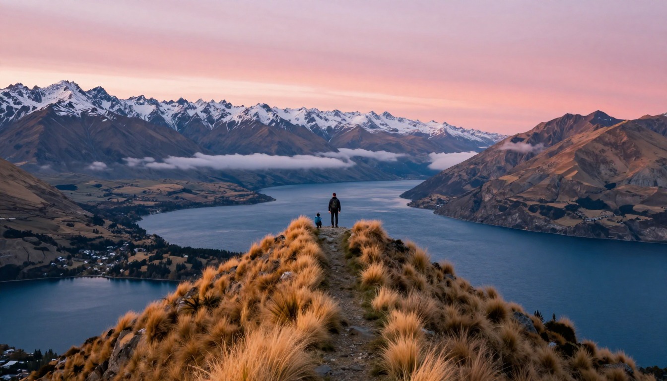
Roys Peak Track climbs steeply out of Wanaka, on New Zealand's South Island, to a ridge above Lake Wanaka that has become one of the country's most photographed viewpoints. It's a long, sustained day hike with no technical climbing, just steady uphill switchbacks (DOC grades the track easy to intermediate but says high fitness is needed) — which means the real planning decision isn't on the trail, it's where you sleep the night before and after, since the trailhead sits a short drive from town and the small car park fills fast.
Why hike here
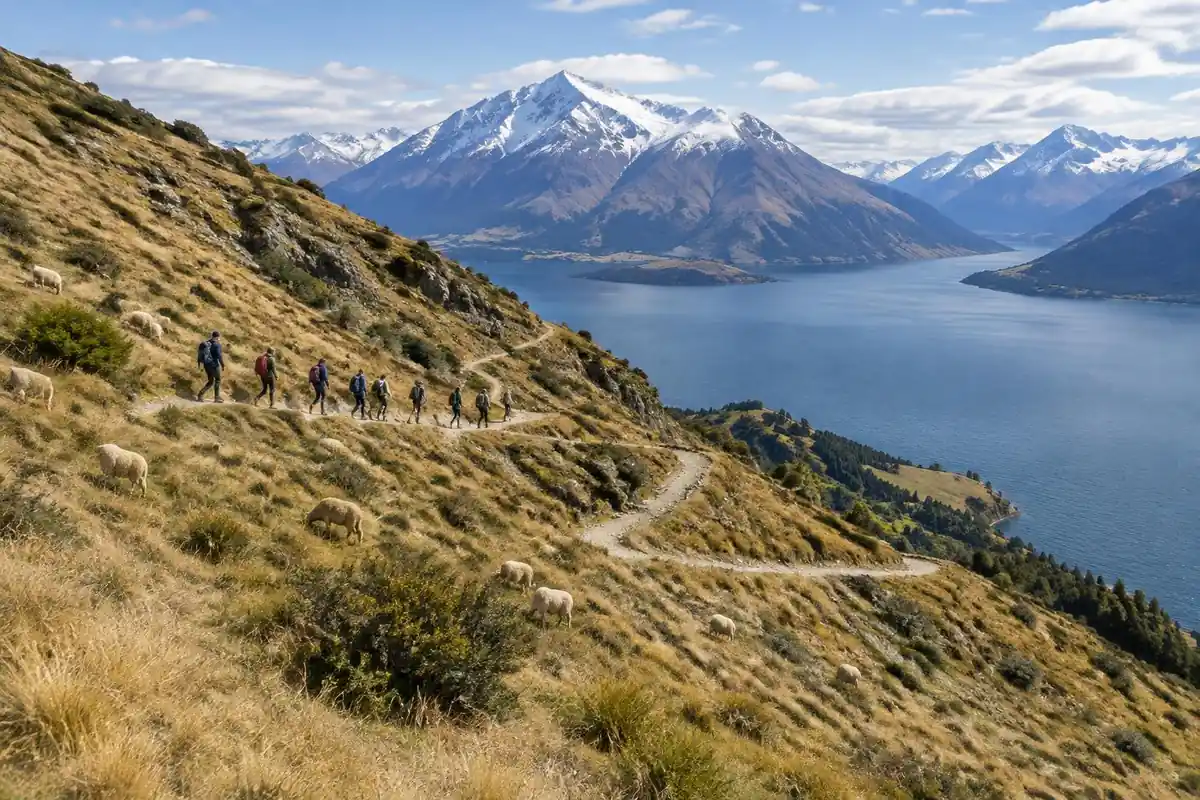
The appeal of Roys Peak is the reveal at the top: a long, steady climb across open farmland, sometimes shared with grazing sheep, gives way to a ridge where Lake Wanaka spreads out below, its blue-green water framed by mountains that keep unfolding the higher you climb. There's no scrambling, just a straightforward, unshaded grind that rewards patience more than technical skill. The famous ridgeline photo everyone recognizes is only part of the reward — the view keeps opening up the further along the ridge you walk. The track crosses working farmland and closes each year for lambing, and since there's no shade or water on the climb, aim for an early start within the spring-to-autumn season when it's open.
Getting there
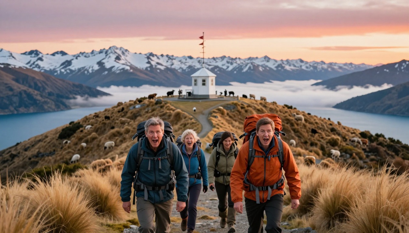
Wanaka and Queenstown are the gateways for Roys Peak, and Queenstown's airport handles the most regional and connecting flights into the area, with a scenic drive linking the two towns. From Wanaka itself, the trailhead is only a short drive out of town, but the car park is small and known to fill early, so an early start solves two problems at once — beating the crowds and securing a parking spot. Staying in Queenstown instead works fine too; it just adds that drive to your day, in exchange for a wider choice of lodging across the Southern Lakes region.
Where to stay
The realistic options, closest-to-the-trail first. Book through the official links — we don't list prices or availability because they change all the time.
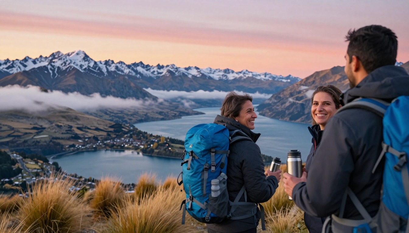
For example: Hotels, holiday parks, hostels and rentals in the lakeside town of Wanaka
Everyone — the trailhead is a short drive from town.
Wanaka is the base; the small trailhead car park fills fast, so start early.
Town lodgingFor example: More hotels and rentals a scenic drive away in the Queenstown region
Travelers combining Roys Peak with other Southern Lakes hikes.
A handy wider base for the Southern Lakes day hikes.
Nearby-area lodging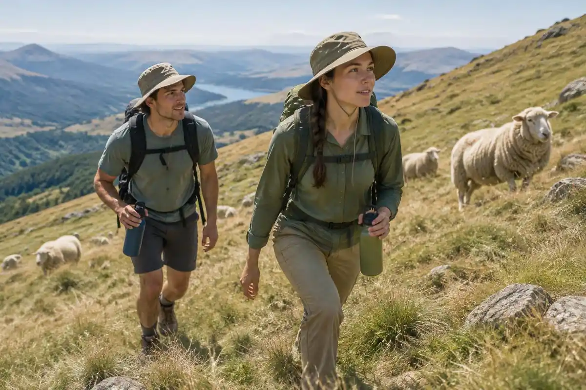
Permits & rules
No permit is needed, but the track crosses working farmland and closes each year for the lambing season (roughly October to November) — check before you go. It is a relentless, exposed climb with no shade or water, so carry plenty.
Gear you'll want for this trip
Matched to the terrain and conditions here. Real products — check current price on Amazon.


Sleep in town, start early, and know how you'll get there
DOC says the track starts at Roys Peak car park on the Wānaka–Mount Aspiring Road, about 6 kilometers west of Wānaka, that parking is free for cars and campervans, and that the car park gets very busy and may have no spaces, so you should not park on the road edge.1 It also says you can walk or cycle to the entrance from Wānaka using the Waterfall Creek Track, the Glendhu Bay Track and a section of road, though those are not managed by DOC, and that shuttle and taxi providers are available through the Wānaka information centre.1
That changes the lodging math. A bed in Wānaka gives you a shuttle, a taxi or a bike as options when the car park is full. A bed in Queenstown works, but adds a drive that has to fit around the parking problem. DOC describes the walk as 16 kilometers return, 5 to 6 hours, with more than 1,200 meters of climbing and a summit at 1,578 meters, and it says high fitness is needed.1
Lambing closure and booking around it
DOC states that the track is closed for lambing from 1 October to 10 November each year and reopens on 11 November, and that most of the track crosses private land, so walkers must stay on the marked track.1 If you have fixed dates in spring, book flexible lodging, or plan a second hike. DOC suggests Isthmus Peak Track as the nearby alternative during the closure, describing it as similar in length and difficulty to Roys Peak, less busy and equally scenic.1
The closure is not the only seasonal limit. Late winter and early spring can still bring frozen ground and cold temperatures, according to DOC, and snow and ice make the track more difficult in winter, sometimes calling for micro-spikes and walking poles. It also notes challenging avalanche terrain above 1,000 meters.1 The track can be hard work in any season, so a shoulder-season plan needs room to turn around.
No shade, no water, and sunrise starts
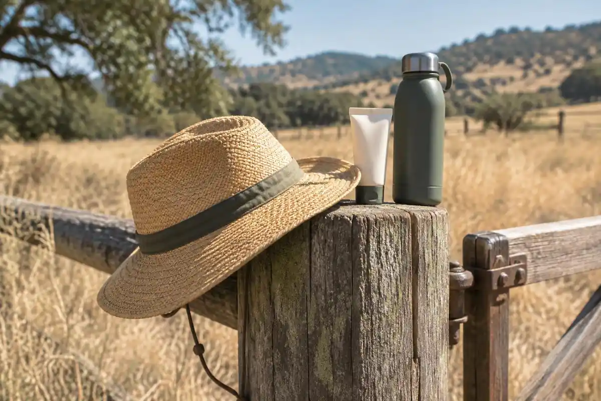
DOC says the track can be very hot in summer, with no shade or water, and recommends bringing plenty of water and sun protection and avoiding the hottest part of the day.1 The EPA says UV intensity rises about 6% per kilometer of elevation and that overcast skies still transmit roughly 31% of UV, so a cool, cloudy morning does not remove the need for a hat and sunscreen.2 The CDC recommends broad-spectrum sunscreen of SPF 30 or higher, reapplied every 2 to 4 hours.3
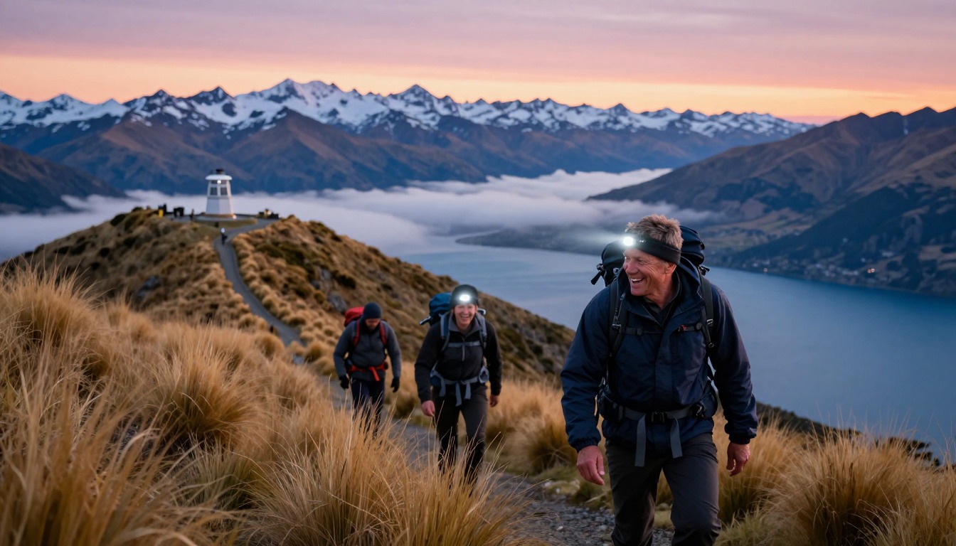
Many people start in the dark to reach the ridge for sunrise. DOC says the safest time to hike is during daylight, and that if you go in the dark, head torches, spare batteries and very warm clothes are essential, and you should not rely on a phone torch.1 The National Park Service also recommends headlamps because they leave hands free, and it advises setting a turnaround time and sticking to it.4 Wherever you sleep, set an alarm that gives you time for both.
Common questions
Do I need to book accommodation ahead of time?
Yes, it's worth booking ahead, especially over summer weekends. Wanaka is a small lakeside town with a limited supply of hotels, holiday parks, hostels, and rentals, and it fills up during peak hiking season. If Wanaka is booked out, the Queenstown region has more options a scenic drive away, giving you a wider base in the Southern Lakes area.
When can't I hike Roys Peak?
The track crosses working farmland that's used for lambing, so it closes for lambing from 1 October to 10 November each year and reopens on 11 November — always check current status before you plan a trip. Outside that closure, the best hiking window runs from spring through autumn; conditions and exact dates can shift year to year, so confirm before you travel.
What should I bring for the climb?
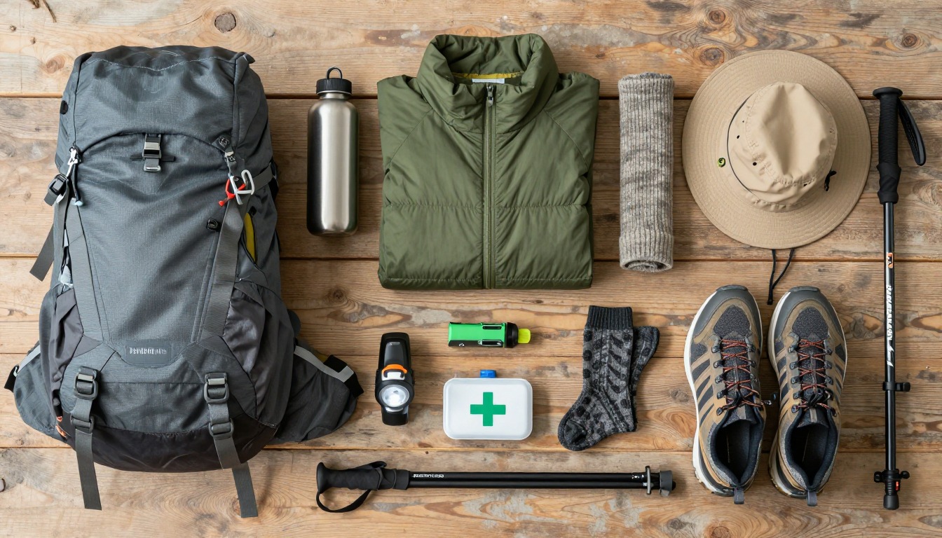
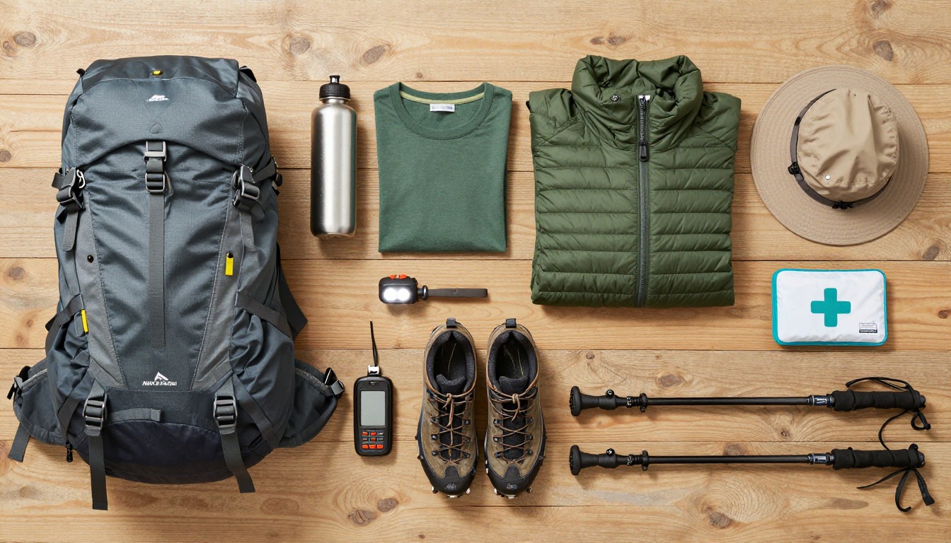
There's no shade and no water source anywhere on the route, so carry more water than you think you'll need, along with sun protection and layers for changing weather. It's a steep, sustained climb rather than a technical one, so sturdy footwear and a reasonable level of fitness matter more than any specialized gear.
Complete gearsets for this trip
Full curated kits built for exactly this kind of hike — what to bring, why, and links to similar gear.
Lodging details are compiled from official parks, refuge associations and reservation systems and can change without notice. We publish no prices, availability or ratings — always confirm current information on the official site before booking or setting out. Product links and the accommodation map are affiliate links: we may earn a commission at no extra cost to you; product prices and availability are shown on Amazon, and accommodation prices on the booking site. See our affiliate disclosure.