
Affiliate disclosure: this page contains affiliate links. Purchases made through them may earn us a commission at no extra cost to you. See our affiliate disclosure.
In plain English
The Tongariro Alpine Crossing is a one-way day walk across a volcanic landscape in New Zealand. You start on a flat valley path, climb a long staircase, cross a level crater floor, scramble up a steep ridge, then slide down a loose slope beside colorful lakes. After that comes a very long, gentle downhill to the finish.
It is one of the most popular day walks in the country. But it is long and often windy, and the weather on the ridge can be cold even when the car park is warm. Loose gravel on the descent is the part many people find hardest.
You need only a daypack, but it must be well stocked: plenty of water, snacks, a warm layer, a rain jacket, a hat, sunscreen and a headlamp in case the day runs late. The page also mentions shuttles because you finish in a different place from where you start.
What the hike is like
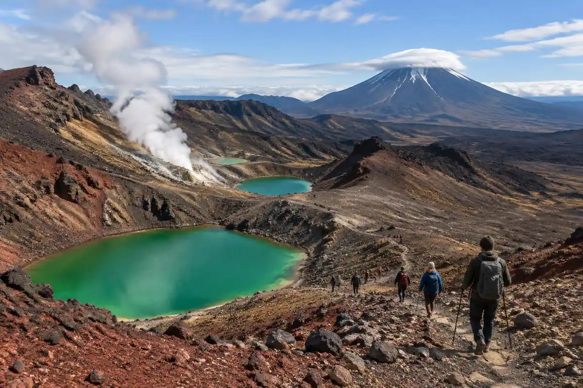
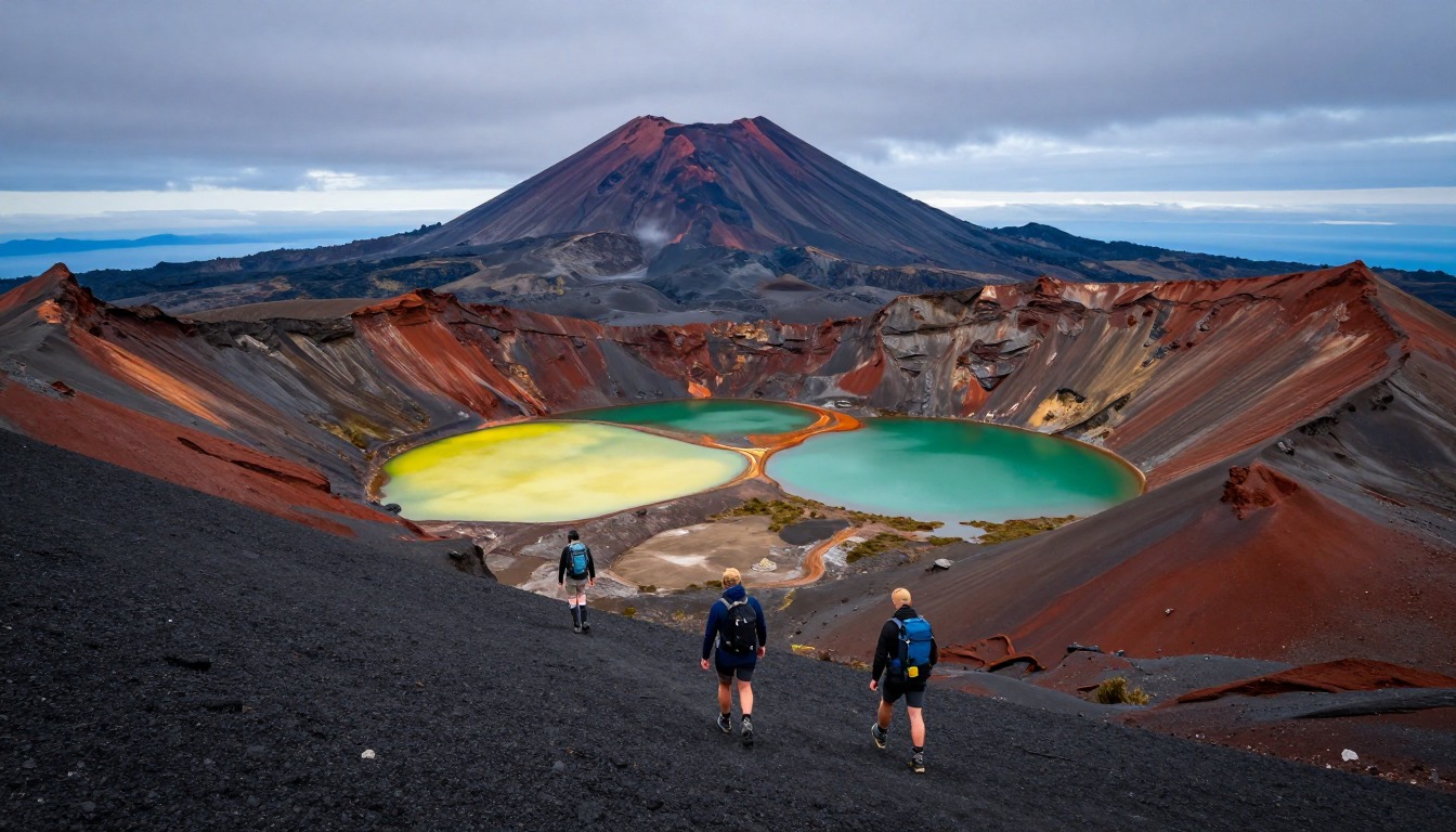
The Crossing changes surface underfoot more often than most day hikes change scenery. It opens almost flat, on boardwalk and gravel through a valley, which lulls people into starting far too fast. Then comes the Devil's Staircase, a sustained stepped climb out of the valley onto bare volcanic rock. Above it the ground flattens again across South Crater — an oddly level plain of ash and gravel with Mount Ngauruhoe's cone alongside — before the steepest and loosest section of the day zigzags up a ridge to Red Crater. From there the track drops sharply on scree toward the Emerald Lakes, a slithering descent that most people find harder than any of the climbing. The long second half is a gradual, relentless downhill across open slopes, finishing in forest.
How to plan the itinerary
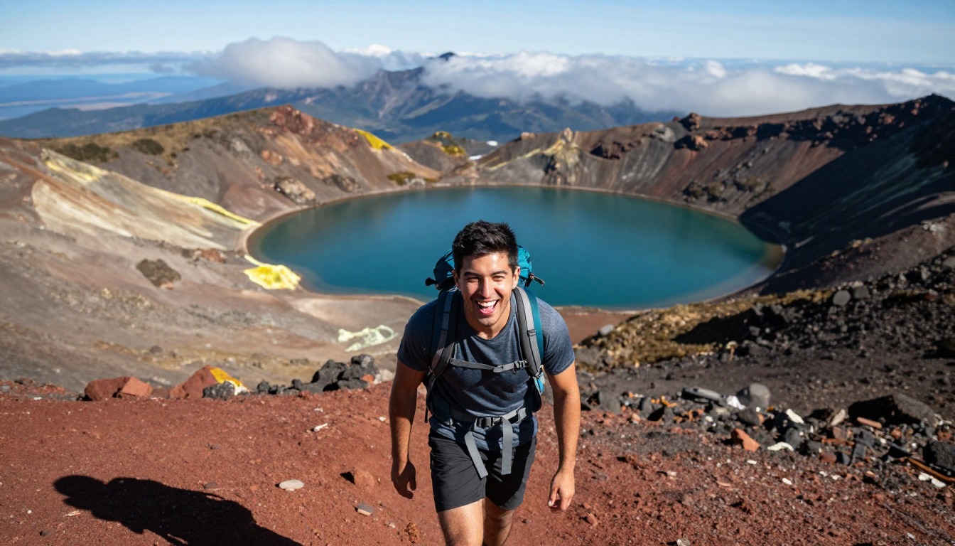
This is a one-push day hike, done one way, and nearly everyone walks it in a single go from the early-morning shuttle drop to a pickup at the far end. Because the trailhead parking is time-limited and the route does not return to its start, the shuttle booking effectively sets your start time and your deadline — the day is built around that window rather than around how you feel. Most hikers aim to be moving early, both to have the climb behind them before the wind picks up and to leave slack at the finish. Anyone who wants to sleep out here instead extends onto the multi-day circuit and uses the backcountry huts, which is a different trip with a different booking process. Allow more time than the climbing suggests: the descent is the long half.
Plan this trip in 5 steps
-
Pick the right pack
Match a pack to your trip, fit and priorities.
-
Plan food & water
Calories, food weight and water for your days on trail.
Trail-specific tips
The scree descent below Red Crater is where the day goes wrong for most people — loose volcanic gravel over a firm base, steep enough that feet slide. Go down it heels-first and deliberately, and expect grit in your shoes. The second common mistake is treating the Emerald Lakes as the end; a long descent still waits, and tired legs make it feel longer. The exposed sections catch full wind, so carry a shell even on a bright morning, and carry all your water. Two fires in late 2025 burned areas near the start of the crossing. DOC asks walkers to stay on the tracks and out of fire-affected areas, and a 10-year restorative rāhui (a traditional protection) covers the affected area, so check DOC's alerts before you travel. DOC recommends booking for anyone using any part of the track, and bookings are needed for shuttles and guided walks. For general turn-back judgment, see /trail-smarts/.
Permits & rules
No permit is needed, but DOC recommends booking (free; required for shuttle and guided services), and you must plan shuttle transport since the crossing is one-way and DOC says there is no summer parking for visitors at Mangatepōpō car park. As of September 2026, late-2025 fire damage affects the start of the track and a 10-year rāhui covers the burnt area — check DOC for current status. It is a true alpine route past active volcanoes — weather turns fast, so carry layers and be ready to turn back.
Gear suited to this hike
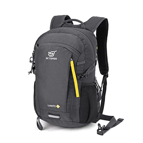
Matched to the terrain and conditions here. Real products — check current price on Amazon.


What DOC says about the crossing
DOC's page lists the crossing at 20.2 km one way, with 7 to 8 hours from November to April and 9 hours from May to October, and a total elevation change of about 1,196 m. Guides quote slightly different distances, so use DOC's figure for planning.1 The climb up a staircase to South Crater leads to Red Crater, the highest point at 1,886 m, followed by a steep descent on volcanic scree to the Emerald Lakes. DOC calls the track an intermediate tramping track from late October to 30 April, and an expert route from May to October, when snow, ice, avalanche risk and sub-zero temperatures add hazards.1
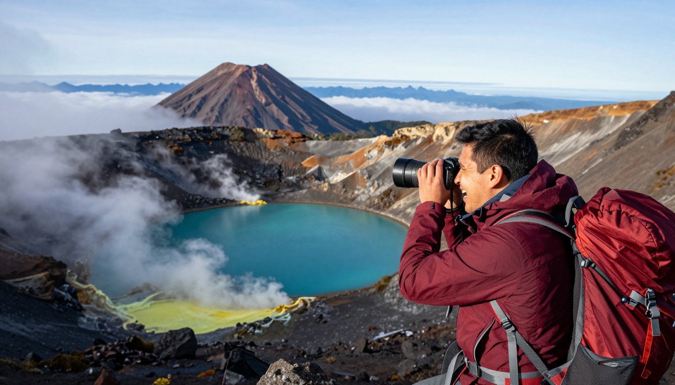
DOC also says the crossing traverses an active volcanic area where eruptions, though unlikely, can occur at any time, and that steam vents near the Emerald Lakes can cause severe burns, so walkers should stay on the marked track.1 Parking at the road ends is limited to 4 hours and DOC suggests a shuttle. Bookings are recommended for anyone using any part of the track, and are needed to use a shuttle or guided walk. Two fires in late 2025 burned areas near the start, and DOC asks visitors to stay on the tracks and out of the fire-affected areas.1 Check DOC's alerts and the weather forecast before you travel.
Loose scree, knees and poles
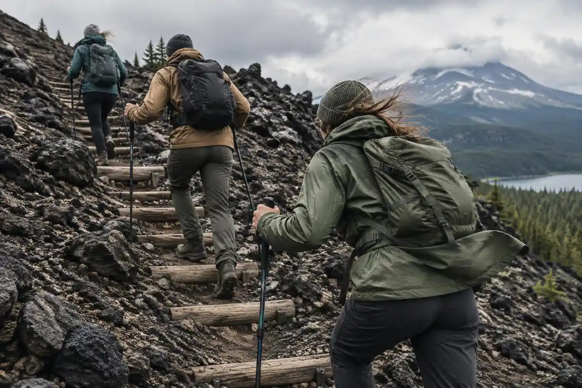
The descent from Red Crater is the steepest and loosest section. Biomechanics studies of steep downhills show what is at stake: on a 25 degree ramp, poles lowered knee compressive and shear forces by 12 to 25%, partly through force applied to the poles and a more forward-leaning upper body.2 A separate study found the benefit held with no pack, a day pack and a heavy pack.5 The evidence on flat ground is weaker, since poles did not reduce knee compression during level walking,6 so the value here sits in the scree descent and long downhill finish, not the flat opening.
Gaiters are another simple fix. They seal around footwear to keep dirt, dust, rocks and snow out,3 which is exactly the problem on a slope of fine volcanic gravel.
Sun, wind and a long day
At altitude the sun is stronger. The EPA says UV intensity rises about 6% per kilometer of elevation, and even overcast skies transmit about 31% of UV.4 CDC recommends broad-spectrum sunscreen of SPF 30 or higher reapplied every 2 to 4 hours and notes UVB is most intense from 10 a.m. to 4 p.m.7
The National Park Service suggests planning uphill sections to take at least double the downhill time and setting a turnaround time,8 which fits a route where shuttle pickup fixes your deadline. Chilling from wind or rain can cause hypothermia even above 40°F,9 so carry a warm layer and waterproof shell even on a fine morning.
Common questions
Why can't I just drive to the start and park all day?
Parking at the trailhead is capped at a few hours, which is far less than the walk takes, and the route finishes somewhere else entirely. That combination is why almost everyone books a shuttle from one of the gateway villages instead — it solves both the parking limit and the one-way logistics in a single arrangement.
How hard is the Crossing really?
It is a long, strenuous day rather than a technical one. There is no scrambling or exposure that requires climbing skill, but there is sustained climbing, a loose descent, and a great deal of walking afterward at altitude in an exposed alpine environment. Reasonable hill fitness matters more than any particular technique.
Do I need trekking poles?
They earn their place here more than on many day hikes. The scree descent from Red Crater and the long, gradual downhill through the second half both punish knees, and poles give you something to trust when footing is loose. If you only ever carry poles for one day walk, make it this one.
Can I hike it outside the main season?
The route exists year-round, but outside the standard window the exposed high sections hold snow and ice and become an alpine trip needing proper equipment and experience. Many hikers in that period go with a guide. Check current conditions and park alerts before committing either way, since weather on the ridge changes fast.
Complete gearsets for this trip
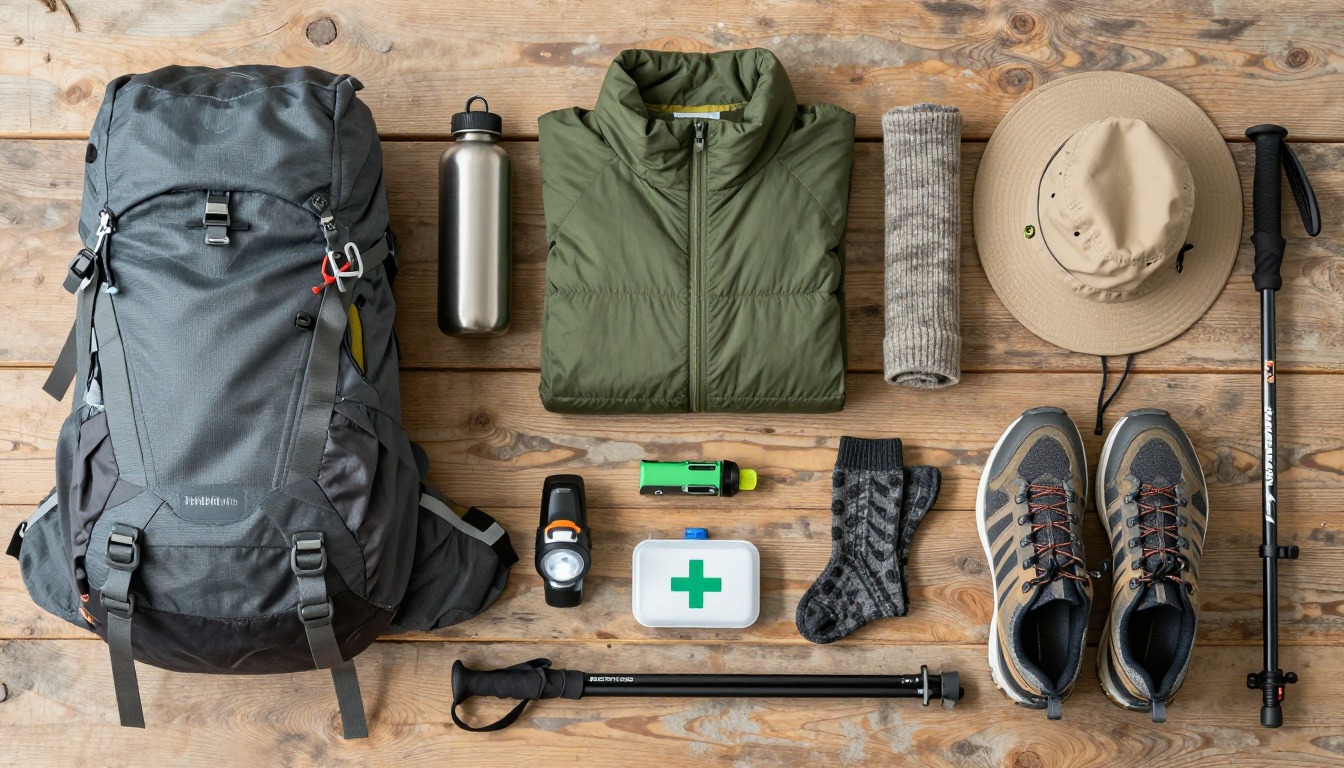
Full curated kits built for exactly this kind of hike.

Trail conditions, permits and access rules change without notice — always confirm current information on the official source above before you go. Some facts on this page are still pending owner verification and are marked accordingly. Product links and the accommodation map are affiliate links: we may earn a commission at no extra cost to you; product prices and availability are shown on Amazon, and accommodation prices on the booking site. See our affiliate disclosure.