
Affiliate disclosure: this page contains affiliate links. Purchases made through them may earn us a commission at no extra cost to you. See our affiliate disclosure.
In plain English
The Tongariro Alpine Crossing is a long one-way day walk across a volcanic landscape in New Zealand's central North Island. You start at one road-end and finish at another, so you cannot simply walk back to your car. Most people sleep in one of the towns around the national park, then ride a shuttle bus to the start and get picked up at the far end.
That is why the parking rules matter. The Department of Conservation, or DOC, says parking at the road-ends is limited to four hours, which is far shorter than the walk itself, and it suggests using a shuttle. The shuttle picks you up early, so book your bed and your shuttle for the same days.
You do not need a permit, but DOC recommends a track booking for everyone, and you need one to use a shuttle or a guided walk. Booking is free. The weather up on the volcano changes fast, so always check the forecast before you set out, and carry layers even in summer.
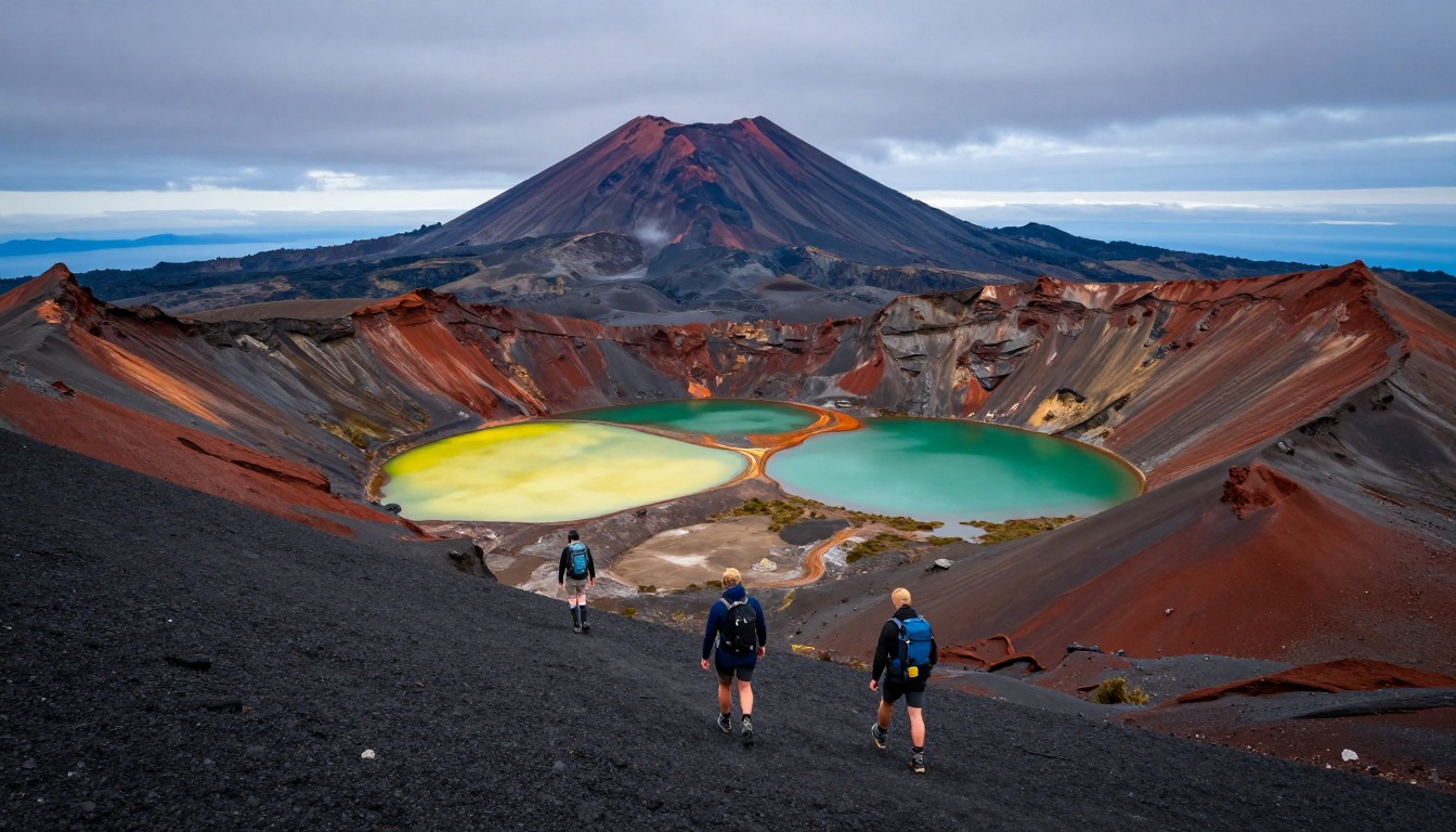
The Tongariro Alpine Crossing is a roughly 20.2-kilometer, one-way day hike through Tongariro National Park's volcanic terrain, crossing steaming craters and the vivid Emerald Lakes beneath Mount Ngauruhoe. It is day-use only, so hikers who want an overnight stop instead extend onto the multi-day Tongariro Northern Circuit and use Department of Conservation huts. Everyone else sleeps in one of the gateway towns and rides a shuttle to the trailhead, since parking there is capped at a few hours (DOC says there is no parking for crossing walkers at the Mangatepopo car park in summer). Two fires in late 2025 burned significant areas around the start of the crossing and a 10-year restorative rāhui covers the affected area, so stay on the track and check DOC for current status.
Why hike here
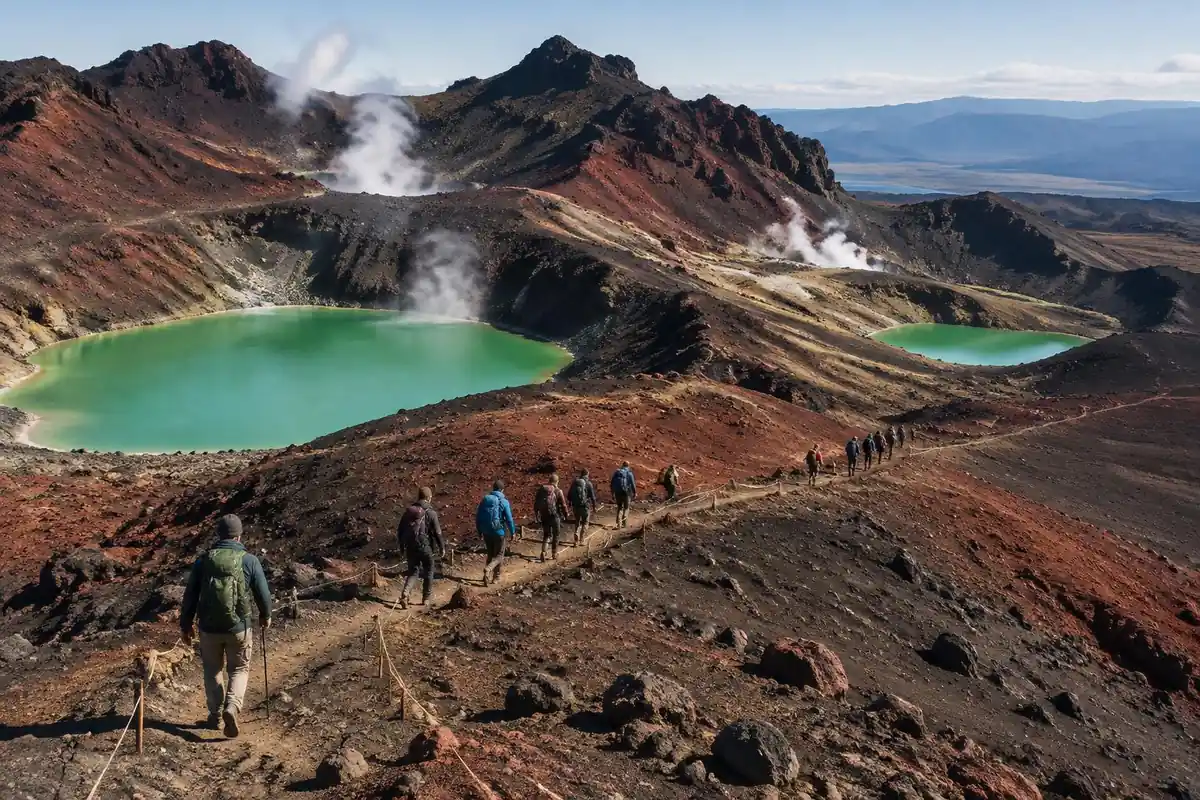
What makes the Crossing memorable is how fast the ground changes underfoot. You climb out of forest onto bare volcanic rock, work up through a steep section known as the Devil's Staircase, and cross the exposed South Crater with Mount Ngauruhoe's near-perfect cone rising beside you, the peak that doubled as Mount Doom on film but is, up close, simply a working volcano inside a national park. Past the Red Crater the trail drops toward the Emerald Lakes, their color coming from dissolved minerals rather than anything staged for hikers. It's a UNESCO dual World Heritage park for a reason: raw geology and deep cultural significance sit side by side the entire way, not just at one lookout.
Getting there
The nearest useful airports are Auckland and Wellington; from either, it's a drive of a few hours to Tongariro National Park down the central North Island's main routes. Most hikers base themselves in National Park Village, Whakapapa, or Ohakune and arrange a shuttle from there, since the Crossing is one-way and trailhead parking is limited to just a few hours. Shuttles generally collect hikers from their accommodation early and drop them at the far end, so book your lodging and shuttle for the same window.
Where to stay
The realistic options, closest-to-the-trail first. Book through the official links — we don't list prices or availability because they change all the time.
For example: Lodges, hotels, hostels and holiday parks in the towns ringing the park
Most walkers — the crossing is a one-way day hike done with a shuttle.
DOC says there is no summer parking at Mangatepōpō car park; nearly everyone uses a shuttle.
Nearby-town lodgingFor example: DOC huts for those extending the crossing into the multi-day Tongariro Northern Circuit
Backpackers turning the day hike into a Great Walk loop.
The crossing itself is day-use; camping is on the longer circuit.
Department of Conservation booking
Permits & rules
No permit is needed, but DOC recommends booking (free; required for shuttle and guided services), and you must plan shuttle transport since the crossing is one-way and DOC says there is no summer parking for visitors at Mangatepōpō car park. As of September 2026, late-2025 fire damage affects the start of the track and a 10-year rāhui covers the burnt area — check DOC for current status. It is a true alpine route past active volcanoes — weather turns fast, so carry layers and be ready to turn back.
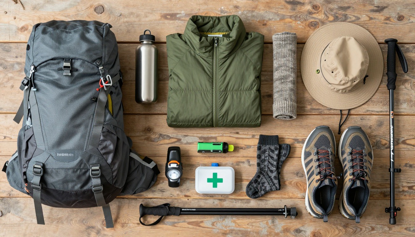
Gear you'll want for this trip
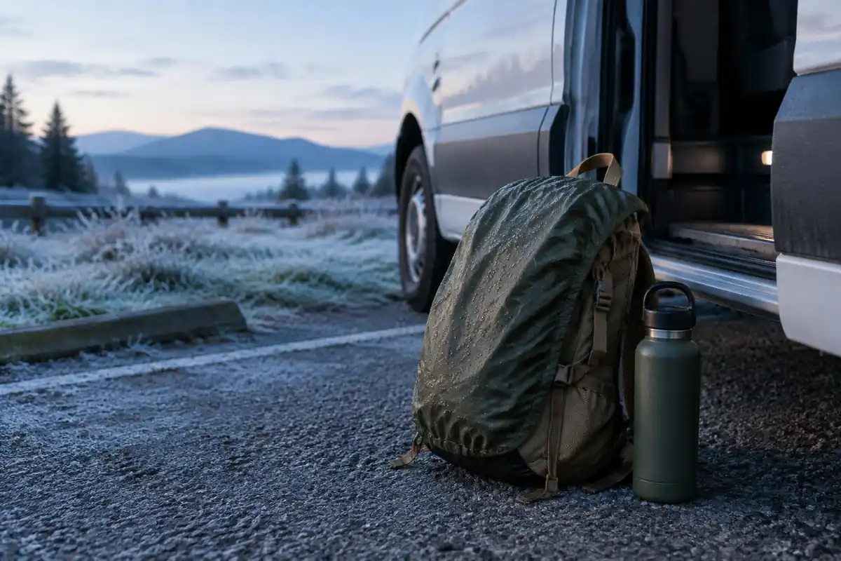
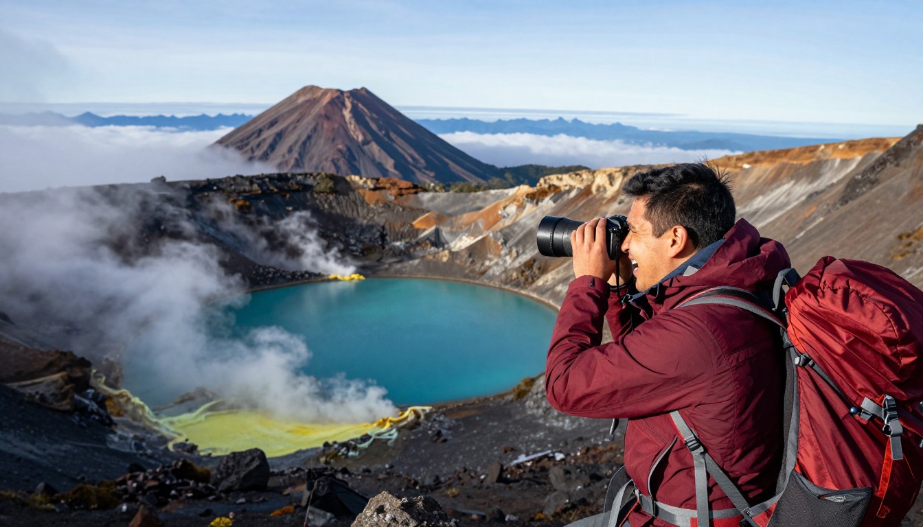
Matched to the terrain and conditions here. Real products — check current price on Amazon.


Why almost everyone sleeps in a town, and what the booking is
DOC says parking restrictions of a 4-hour maximum apply at the road-ends, that in summer there is no parking for visitors doing the crossing at the Mangatepopo car park, and that a private car park exists near the end of the walk at Ketetahi.1 It also says the best way to get to the crossing is by shuttle, and that shuttle services run from all the local towns, arranged through local information centres.1 The nearby towns DOC lists include Whakapapa, National Park, Tūrangi, Ohakune, Taumarunui and Taupō. Pick a town on a shuttle route and book both together.
Some guides say no permit is needed, which is true in the sense that there is no permit system. DOC, however, states that bookings are recommended for all visitors using any part of the crossing, and that a track booking is needed to use a shuttle or guided walk service, with no cost to book.1 So plan to book, even if you are walking without a shuttle. Note also that DOC gives the distance as 20.2 kilometers one way, slightly longer than the 19.4 kilometers quoted in some guides, so use DOC's figure.
The day sets the bed: timing, weather and water
DOC gives a walking time of 7 to 8 hours from November to April and about 9 hours from May to October, and says winter has only 9 to 11 hours of daylight, so you should leave early enough to finish before dark and always take a head torch.1 A shuttle that collects you early from your accommodation is therefore part of the plan, not an extra. Choose lodging where an early breakfast or a packed lunch is possible, and where you can stay a spare night if the weather closes in.
In the summer hiking season DOC applies a Not Recommended Today advisory when forecast wind, gusts, wind chill, rain or snow rates exceed set limits, but it says no hazardous weather advisories are issued from May to October, so walkers must read the forecast themselves.1 DOC also says snow can fall at any time of year, that water along the track is not suitable for drinking, and that walkers should carry 2 to 3 liters of water.1 Add the sun: the EPA says overcast skies still transmit about 31% of UV.2
Overnight options, alpine winter and the fire recovery
The page mentions the Northern Circuit as the multi-day alternative with DOC huts. That route has its own booking and rules, so confirm hut and campsite details with DOC before you plan to sleep out. What this DOC page does cover is how seriously it treats winter: from May to October it classes the crossing as an expert route where the track is snow-covered and icy, suitable only for people with alpine skills, equipment and experience, including avalanche and navigation skills.1
Recovery from fire is now part of the trip. DOC says two fires in late 2025 burned significant areas of the national park around the start of the crossing, and that a 10-year restorative rāhui, a traditional protection, covers the affected area. It asks visitors to stay on the tracks, avoid the fire-affected areas off-track, clean shoes and gear before visiting to prevent weed spread, and take rubbish home.1 Cold is the other constant. The CDC says hypothermia can develop above 40 degrees Fahrenheit if you get wet or sweaty and chilled, so pack a warm layer and a rain layer even on a bright morning.3
Common questions
Do I need to book a shuttle in advance?
Yes. Because the Crossing is one-way and the trailhead car park only allows a few hours' parking, nearly everyone arrives by shuttle rather than driving themselves. Shuttles run from National Park Village, Whakapapa, and Ohakune and can fill up in busier months, so book the shuttle alongside your accommodation rather than leaving it until you arrive. DOC recommends a track booking for anyone using any part of the crossing and requires one to use a shuttle or guided walk; there is no cost to book.
Where should I base myself before the hike?
National Park Village, Whakapapa, and Ohakune all sit within reach of the trailhead and offer a mix of lodges, hotels, hostels, and holiday parks. Which one suits you depends on your shuttle pickup time and what you want nearby — Whakapapa sits inside the park itself, while Ohakune has a wider range of places to eat and stay.
When is the best time to hike the Crossing?
November through April is the standard window, when the trail is generally clear of snow and ice. Outside those months, the exposed sections, especially around Red Crater, call for alpine experience and proper gear. Even in season, weather on the ridge can turn quickly, so carry layers and be ready to turn back if it does.
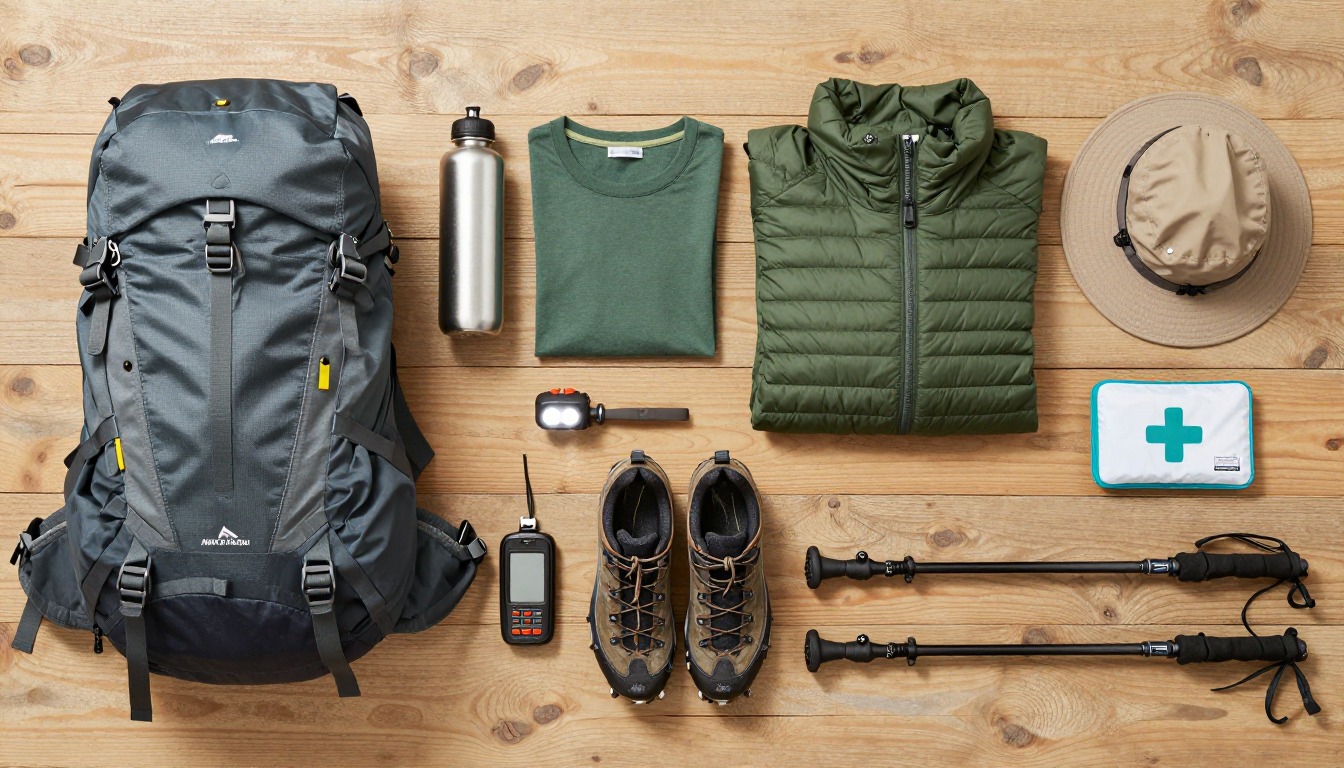
Complete gearsets for this trip
Full curated kits built for exactly this kind of hike — what to bring, why, and links to similar gear.
Lodging details are compiled from official parks, refuge associations and reservation systems and can change without notice. We publish no prices, availability or ratings — always confirm current information on the official site before booking or setting out. Product links and the accommodation map are affiliate links: we may earn a commission at no extra cost to you; product prices and availability are shown on Amazon, and accommodation prices on the booking site. See our affiliate disclosure.