
Affiliate disclosure: this page contains affiliate links. Purchases made through them may earn us a commission at no extra cost to you. See our affiliate disclosure.
In plain English
The Routeburn Track crosses the mountains of New Zealand's South Island, from one valley to another. It starts in forest, climbs above the trees into open, rocky basins, crosses a high saddle and then drops back into forest. Most people walk it over three days and stay in huts.
In the main summer season it is a well-built track. You do not need climbing skills. What you do need is fitness for a long uphill with a pack, and warm clothes. Weather in these mountains changes quickly, and a mild day can turn cold and wet within an hour.
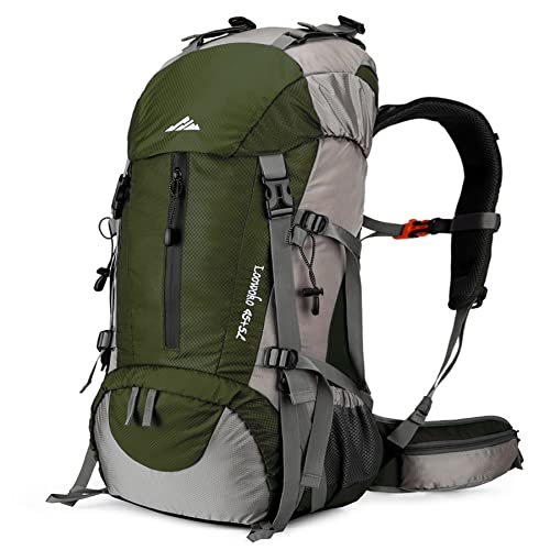
Think of your pack as a portable house. The huts have bunks and heating, but you bring your own food, a stove or cold food, and bedding such as a sleeping bag. Everything needs to be packed so a downpour cannot soak it.
What the hike is like
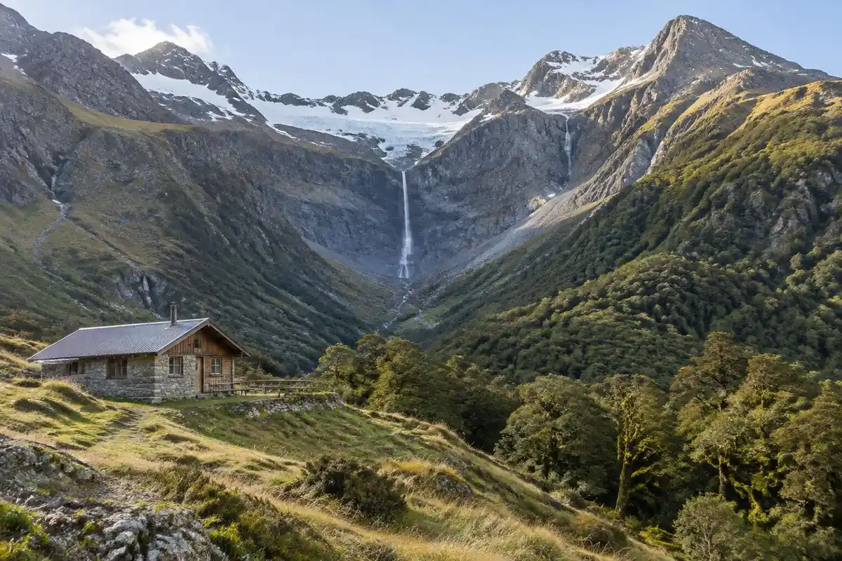
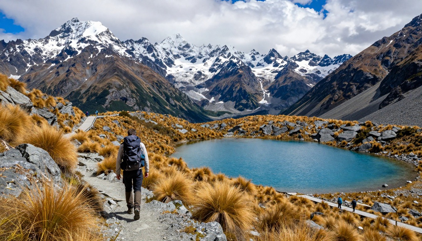
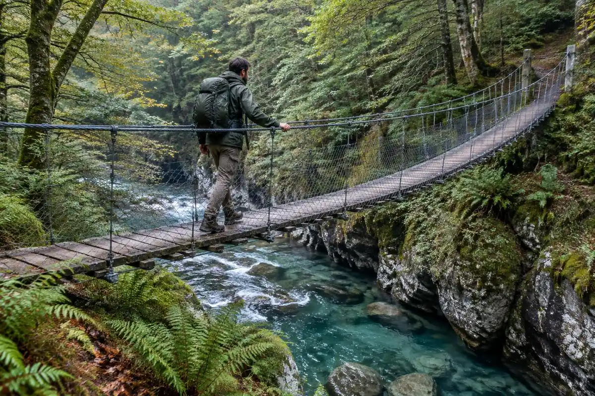
The Routeburn earns its reputation in the middle. Both ends start gently — beech forest, river flats, a well-built track with swing bridges over clear water — and the walking is easy enough that the first hour or two feels more like a stroll than an alpine crossing. Then the track climbs steadily to the bushline, the trees thin out, and the route steps into open alpine basins where the surface turns rockier and the wind has nothing left to block it. The crossing of Harris Saddle is the part people remember: exposed, high, with the track cut along slopes that fall away into the valleys and a short, steep side climb available to a higher lookout. Beyond the saddle the route traverses above a valley before dropping back through forest to the far trailhead.
How to plan the itinerary
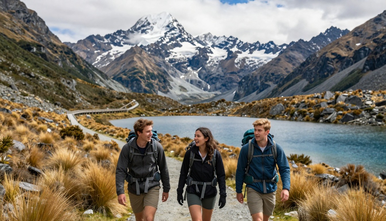
Three days and two nights in the huts is the standard shape, and because hut bookings fix both your dates and your direction, the itinerary is essentially set before you leave home. Some fit walkers compress it into two days with a single night, which means a long day carrying a pack over the saddle; a guided, lodge-based version of the same route runs on its own schedule. The genuinely important planning is at the two ends. The track runs point to point between separate trailheads, so a shuttle or car relocation has to be arranged in advance, and slotting a spare day either side of the walk keeps a late flight or a closed road from unraveling everything. Aim to cross the saddle in the middle of the day when the weather is most likely to cooperate.
Plan this trip in 5 steps
-
Pick the right pack
Match a pack to your trip, fit and priorities.
-
Plan food & water
Calories, food weight and water for your days on trail.
Trail-specific tips
Treat the saddle as the whole hike and plan the rest around it. If the forecast is poor, walking the sheltered valley sections early and waiting out weather at a hut beats pushing onto exposed ground on schedule. Carry a warm layer and a genuine waterproof shell on top of your pack, not buried in it — conditions at the high point can be nothing like the trailhead you left. Poles help on the rocky sections and the long descent. The common error is underestimating the far end, where an easy-looking descent still takes real time after a big day.
Permits & rules
In the Great Walk season the huts must be booked in advance for a fixed date and direction. The Harris Saddle is high and exposed — the weather can turn to cold rain or snow quickly, and snow and ice are a serious concern outside the Great Walk season (roughly May to October), so pack for it.
Gear suited to this hike
Matched to the terrain and conditions here. Real products — check current price on Amazon.


What DOC says about season, huts and hazards
DOC's page gives the track length as 32.6 km, typically walked in 3 days and 2 nights, with hut-to-hut sections of 7.5 km, 2.3 km, 11.3 km and 12 km.1 The Great Walk season runs from November 1 to April 30, with full services, mandatory bookings and ranger presence. Outside that period DOC describes the track as a winter alpine route requiring advanced skills and self-sufficiency, and says winter travel demands alpine skills, avalanche equipment and personal locator beacons.1 Outside the booked season, bunks are first come, first served using backcountry hut tickets or passes.1
The same page says DOC manages avalanche risk and sections of the track may be closed if there is avalanche hazard through December, that it counts over 32 avalanche paths and that a webcam shows current conditions at Harris Saddle.1 Flooding is common after heavy rain and DOC advises against crossing swollen streams.1 It also says the track is not recommended for children under 10 and that didymo precautions apply at specific creeks.1 Some guides say snow can arrive in any month at the saddle; DOC's page describes winter conditions and avalanche hazard but does not itself state that, so treat it as a caution rather than a rule.
Huts do not include what you carry in
DOC says three huts and two campsites offer mattresses, heating, toilets and basic cooking facilities, but that huts do not have food, cooking utensils, showers or bedding.1 That defines your minimum kit: sleeping bag, food, cooking pot or cold food plan, headlamp and layers. The Washington Trails Association suggests 45 to 50 liters for one or two nights and 50 to 70 liters for trips of three to seven nights.3 A three-day hut trip with no tent falls near the smaller end.
Fiordland receives extreme rainfall, up to 9,000 mm annually according to DOC.1 Pack fabric usually has a waterproof interior coating, but water can still seep through seams and zippers, and waterproof stuff sacks inside the pack can beat a rain cover in wind.4 Put the sleeping bag and spare layers in stuff sacks first, and treat the pack cover as a bonus.
Exposure, layers and staying warm at the saddle
CDC says hypothermia can develop even in cool temperatures above 40°F if someone is chilled by rain, sweat or cold water, and warning signs include shivering, exhaustion, confusion, fumbling hands and slurred speech.2 A crossing over an open saddle in cold rain is that scenario. The National Park Service recommends wicking base layers, insulating middle layers and water- and wind-blocking outer layers, and it calls cotton a poor choice because it stays wet.5
Because point-to-point hut bookings lock your dates, a bad-weather day cannot be swapped for a good one. Build a spare day around the trip, as the page suggests, and leave the saddle crossing for the middle of the day when possible.
Common questions
Does it matter which direction I walk the Routeburn?
Less than you might think for the walking itself, since the saddle is roughly in the middle either way. What decides direction in practice is your hut booking, which is made for a fixed date and direction, and your transport arrangement between the two trailheads. Pick your dates and shuttle first; direction usually follows.
Can I do the Routeburn as a day hike?
People do walk in from one end to the alpine sections and back out in a day, and that is a reasonable way to see the high country without a hut booking. Walking the full point-to-point route in a single day is a serious undertaking that also needs transport waiting at the far end.
Is the saddle dangerous in bad weather?
It is exposed high ground where cold rain and wind can arrive at any time and snow is possible outside the summer months (DOC describes winter conditions and avalanche hazard, with sections sometimes closed through December), so it demands respect and proper layers. Conditions are the reason this route needs flexibility in your plan rather than heroics. Check the forecast and current alerts before setting out, and see /trail-smarts/ for general alpine weather habits.
Do I need alpine or mountaineering experience?
No. Within the main walking season the route is a well-constructed track with no technical climbing, no scrambling and no route-finding of any consequence. What it asks for is fitness for sustained climbing with a pack, and the judgment to handle exposed ground when the weather turns unpleasant.
Complete gearsets for this trip
Full curated kits built for exactly this kind of hike.


Trail conditions, permits and access rules change without notice — always confirm current information on the official source above before you go. Some facts on this page are still pending owner verification and are marked accordingly. Product links and the accommodation map are affiliate links: we may earn a commission at no extra cost to you; product prices and availability are shown on Amazon, and accommodation prices on the booking site. See our affiliate disclosure.