
Affiliate disclosure: this page contains affiliate links. Purchases made through them may earn us a commission at no extra cost to you. See our affiliate disclosure.
In plain English
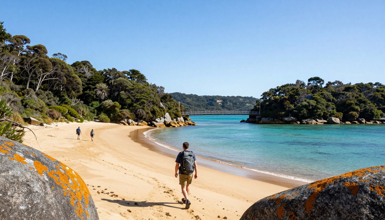
The Abel Tasman Coast Track is a walk along a beautiful coastline in New Zealand. The path is smooth and well built. It rises over small headlands, drops to golden beaches and then climbs back into the forest. It is known as one of the gentler multi-day hikes.
The unusual part is the sea. Some sections of the route cross tidal flats, which are wide muddy or sandy areas that can be walked across only when the water is low. Think of it as a door that opens and closes twice a day. You must check a tide table and plan your walking around it. You also must book every hut or campsite ahead, and the booking decides where you sleep each night.
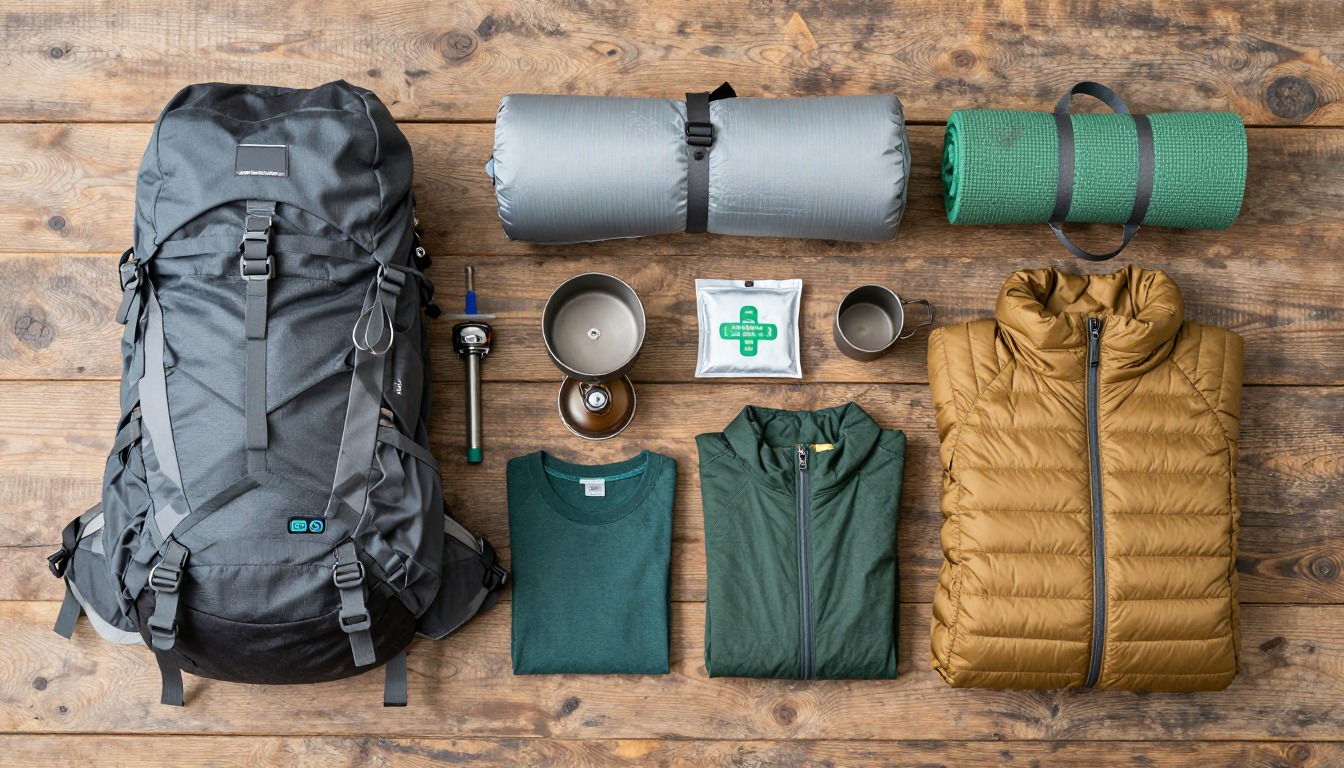
For your pack this means a normal multi-night kit with a few coastal touches. Keep a spare pair of socks in a waterproof bag, carry a tent if you are using campsites, and think of ways to keep sandy grit away from your food and sleeping gear.
What the hike is like
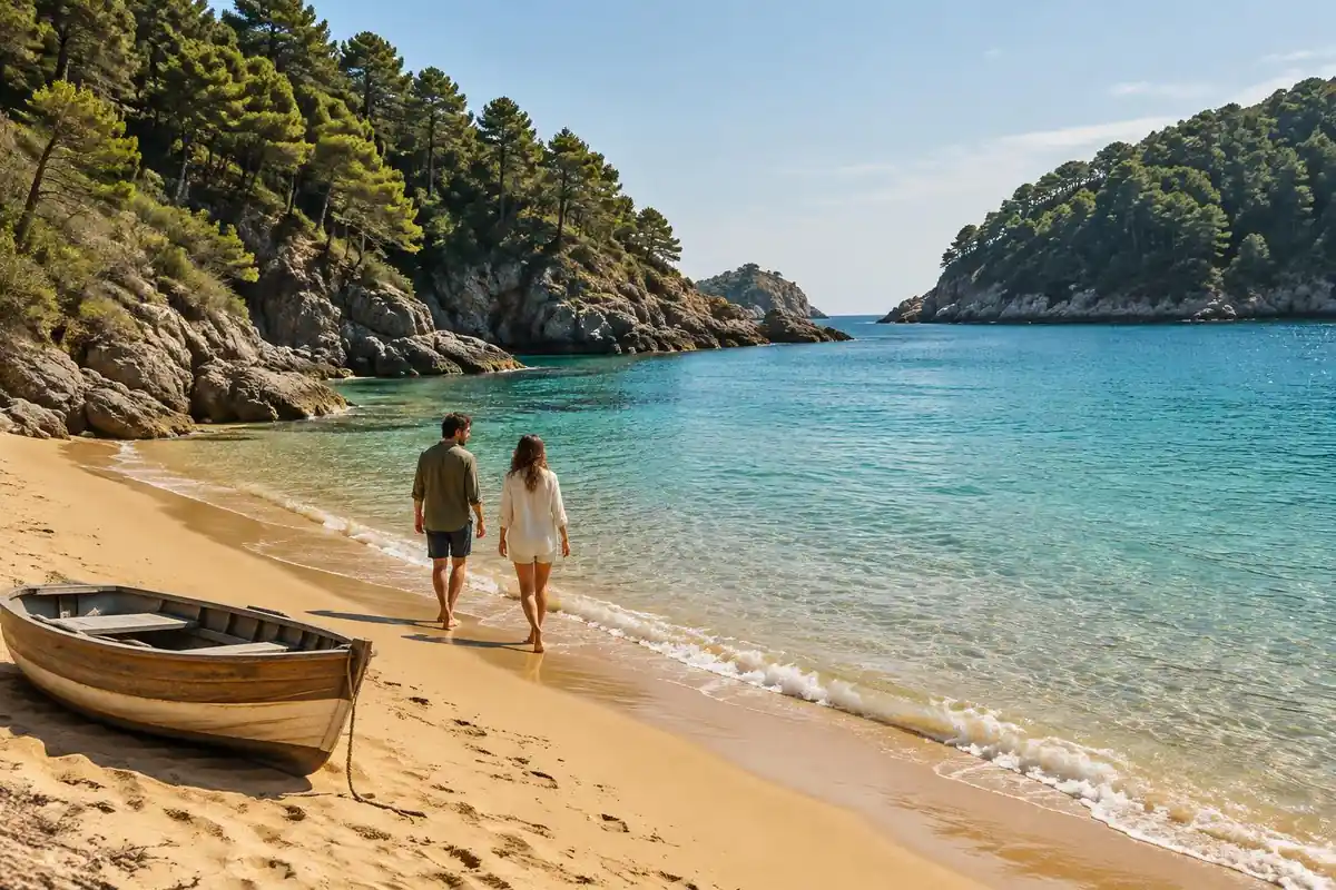
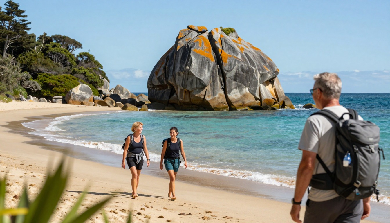
For a Great Walk, this one is unusually kind underfoot. The track is benched and well graded for most of its length, a smooth forest path that rolls gently over one headland, drops onto a beach, then climbs back into the trees for the next bay. The pattern repeats all day: shade, sand, shade, sand. Swing bridges carry the route over stream gullies, and short spurs peel off to bays that the main track only skirts. What genuinely changes the walking is tide. At least one estuary crossing is passable only around low water, with a longer high-tide alternative inland, so the sea sets your schedule rather than your legs. Sand walking is slower and more tiring than the forest sections, which catches people out on the longer beach stretches.
How to plan the itinerary
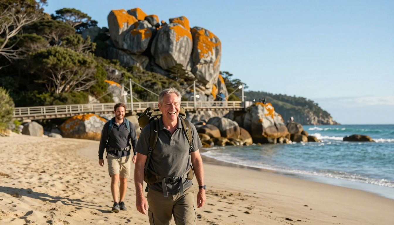
Most walkers take three to five days, staying in the huts and beachside campsites booked long before they arrive. Because bookings lock in where you sleep, the itinerary is effectively decided at the reservation stage, not on the trail — including which direction you walk. The other big variable is water taxis: boats run along the coast, so plenty of people ride out to a point partway along and walk back, skipping a section that does not interest them or trimming a day off the trip entirely. Whatever shape you choose, check the tide table against the day you reach the tidal crossing and, if the timing is bad, reorder your days before you leave rather than improvising on the beach. A short, easy first day makes the transport connections much less stressful.
Plan this trip in 5 steps
-
Pick the right pack
Match a pack to your trip, fit and priorities.
-
Plan food & water
Calories, food weight and water for your days on trail.
Trail-specific tips
Tides, not distance, are the scheduling constraint here — write the low-water window for your crossing day on something you will actually look at, and plan the morning around it. Sandflies are relentless on the beaches at dusk and dawn, so carry repellent and do not count on wind to keep them off. Soft sand at the top of a beach saps more energy than the forest sections, so walk the firm wet band near the water where you can. Do not treat a water taxi as a bail-out option to arrange on the day. General pack and footwear guidance is on /trail-smarts/.
Permits & rules
Huts and campsites must be booked in advance year-round and fill quickly in summer. Some crossings are tidal — check the tide tables, as a couple of estuary sections are only passable around low water.
Gear suited to this hike
Matched to the terrain and conditions here. Real products — check current price on Amazon.


Bookings and rules set the trip, not your legs
DOC's page states that huts and campsites must be booked in advance year round, and that reservations are required for all overnight stays. Booking limits apply per site: two nights from October to April or five nights from May to September, with Tōtaranui Campsite limited to one night year round.1 The same page says visitors without a valid booking face penalties or removal and that freedom camping is not allowed.1 In practice that means you commit to an itinerary and direction months in advance, and any delay on the track cannot be fixed by staying an extra night.
DOC also says campsites are designed for tents and are not suitable for hammocks, and that drones are prohibited without permits.1 Leaving a hammock at home is one of the easy pack savings on this route. The page describes the track as operating year round, with peak season from October to April and fewer crowds and less insect activity in winter, though days are shorter.1 Check DOC's alerts for the Nelson and Tasman area for track, hut and road closures before you travel.
Reading the tide crossings
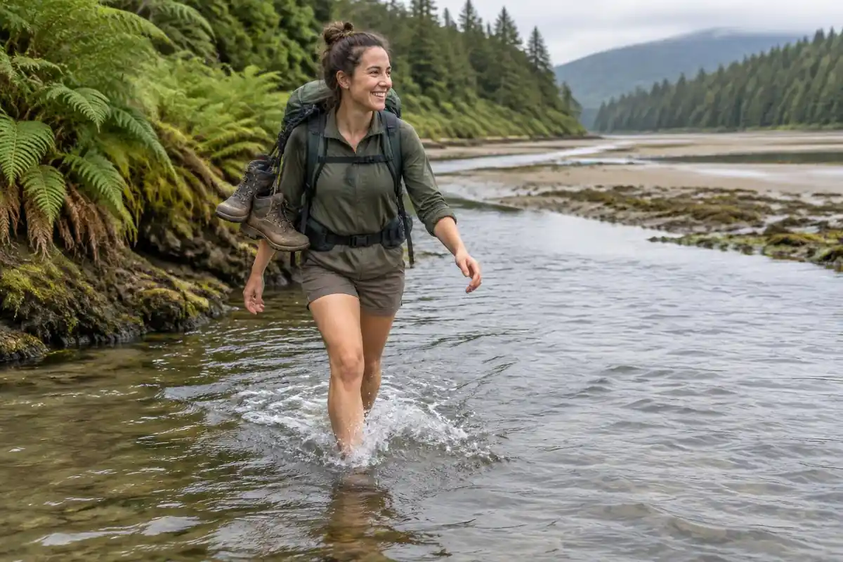
DOC's current numbers are specific. Awaroa Inlet can only be crossed within 1 hour 30 minutes before and 2 hours after low tide. The Torrent Bay estuary is passable two hours either side of low tide, and an all-tide alternative track exists there.1 Goat Bay also has tide-dependent beach access.1 DOC describes tide tables as essential planning tools. The page you are reading says walkers should check the tide against the day they reach the crossing; the official numbers back that up.
The DOC section list gives about 60 km for the full track, with individual sections such as Marahau to Anchorage listed at 12.4 km and about 4 hours, and Bark Bay to Awaroa at 13.5 km and about 4.5 hours.1 Those times are for the walk itself; a wait at the inlet comes on top.
Feet, sand and packing for a coastal multi-day trip
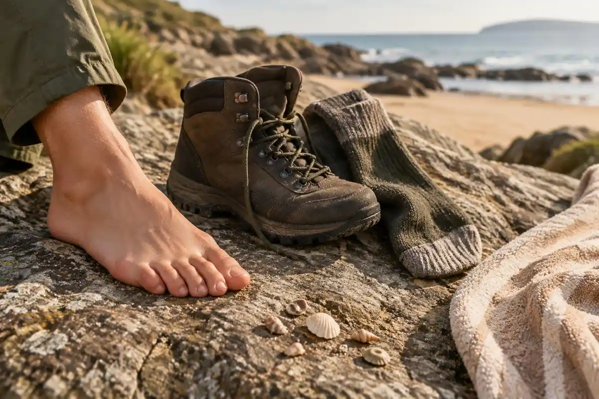
Feet are the main issue on a route that alternates soft sand and packed forest tracks. Dermatologists recommend nylon or moisture-wicking socks, shoes that fit neither too tight nor too loose, and stopping when skin becomes red or painful, because cotton soaks up moisture and can cause chafing.2 A stream or tidal crossing that soaks your shoes adds to that risk, so a spare dry pair of socks kept for camp is worth the small weight.
For sizing, the Washington Trails Association suggests 45 to 50 liters for a standard one- or two-night trip and 50 to 70 liters for trips of 3 to 7 nights.3 With huts offering only basic facilities, tent walkers will be nearer the top of that range. Keep the load close to your spine and heavy items about two-thirds of the way up the main compartment, as the Appalachian Mountain Club advises.4
Common questions
What happens if I get the tide wrong at the estuary?
You wait, or you take the high-tide route where one exists. Neither is a disaster, but both cost hours you may not have if a hut booking is waiting at the other end. Checking the tide table against your itinerary before you start, and adjusting the order of your days then, avoids the problem completely.
Is this a good first multi-day hike?
It is one of the better ones. The grading is gentle, the surface is good, huts and campsites are spaced along the coast, and water-taxi access means you are rarely far from a way out. The tidal crossing adds a planning skill most first-timers have not used, which is worth practicing somewhere forgiving.
Do I need trekking poles on the Coast Track?
Not really. The climbs over the headlands are short and the surface is mostly smooth and benched, so poles are more habit than necessity here. If your knees appreciate them on descents you will still get some benefit, but this is not a route where leaving them behind changes the day.
Can I just walk part of it as a day hike?
Yes, and many people do. The water taxis make out-and-back or one-way day sections straightforward from the towns at the park edge, so you can sample a stretch of coast without booking huts at all. It is the easiest of the Great Walks to experience in bite-sized pieces.
Complete gearsets for this trip
Full curated kits built for exactly this kind of hike.

Trail conditions, permits and access rules change without notice — always confirm current information on the official source above before you go. Some facts on this page are still pending owner verification and are marked accordingly. Product links and the accommodation map are affiliate links: we may earn a commission at no extra cost to you; product prices and availability are shown on Amazon, and accommodation prices on the booking site. See our affiliate disclosure.