
Long-distance thru-hikes
Long-distance thru-hikes range from moderate-to-strenuous multi-day walks like the Kumano Kodo to very strenuous expert routes such as the Haute Route, GR20 and the Enchantments. Each is a point-to-point journey, and seasons run from spring and fall to a short midsummer window.
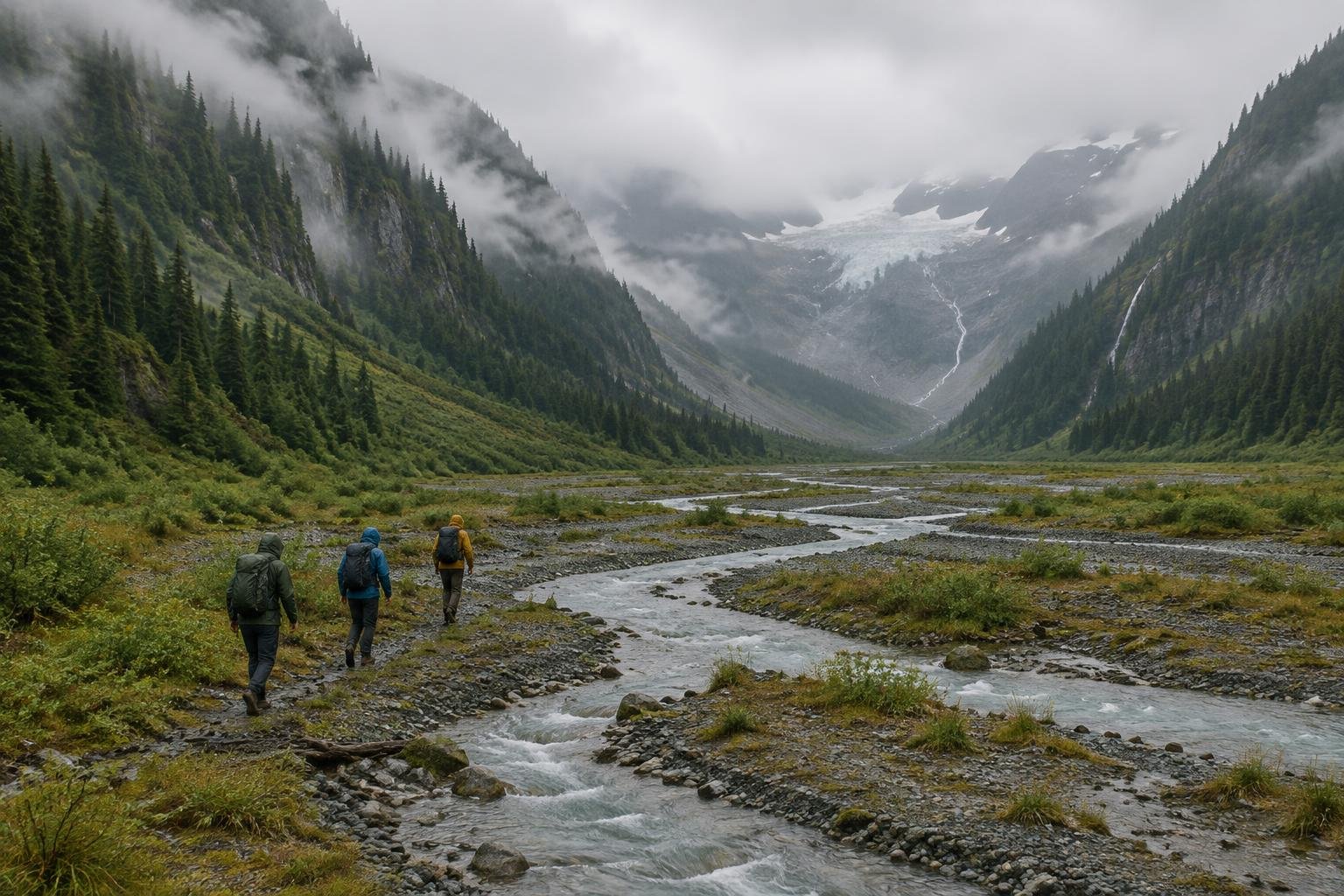
These twelve routes share one idea: you start in one place and finish in another, carrying your plans along with you. They span four continents, from Alpine, Andean and Sierra high passes to Arctic Lapland, Icelandic highlands, Tasmanian alpine country, Japanese mountain forest and the Turkish coast. Lengths run from a long one-way day on the Enchantments to multi-week undertakings like the John Muir Trail, and some, such as the Milford Track, Inca Trail and Overland Track, are managed with booked or capped access.
The routes at a glance
-
Milford Track — Fiordland · Fiordland · South Island, New Zealand
The Milford Track is a 53.5 km (33.2 mi) point-to-point Great Walk in Fiordland, walked in one direction only. Its difficulty is moderate to strenuous, and day 3's crossing of Mackinnon Pass at about 1,154 m is the hard day. It runs from 1 November to 30 April.
- Distance
- 53.5 km / 33.2 mi, point-to-point (one direction only)
- Difficulty
- Moderate to strenuous (DOC Great Walk grade; the Mackinnon Pass crossing on day 3 is the hard day)
- Official season
- 1 November to 30 April (Great Walk season; 2026/27 dates on the DOC page); outside it, off-season conditions apply
-
Inca Trail to Machu Picchu · Andes · Cusco, Peru
The Inca Trail is a roughly 42 km, 4-day point-to-point trek to Machu Picchu. It is rated strenuous, with steep Inca stone stairs and a high point at Dead Woman's Pass, 4,215 m (13,829 ft). It suits hikers ready for altitude and fits the May to September dry season.
- Distance
- ~42 km / 26 mi, 4-day point-to-point trek
- Difficulty
- Strenuous (high-altitude pass, steep Inca stone stairs)
- Official season
- May to September (dry season); the trail traditionally closes in February for maintenance
-
Laugavegur Trail — Iceland · Highlands · Iceland
The Laugavegur is a point-to-point route of about 54–55 km through the Icelandic highlands, typically walked in 3–4 days. It is rated moderate to strenuous, mainly because of unpredictable weather and unbridged river crossings. The season runs roughly late June to early September, so check hut dates.
- Distance
- ~54–55 km / 34 mi, point-to-point (typically 3–4 days)
- Difficulty
- Moderate to strenuous (unpredictable highland weather and multiple unbridged river crossings are the main difficulty, not the elevation profile)
- Official season
- Roughly late June to early September (check the Icelandic Touring Association for hut opening dates)
-
John Muir Trail · Sierra Nevada · California, USA
The John Muir Trail covers 211 miles (340 km) point-to-point through the Sierra Nevada and is rated very strenuous. It crosses several passes above 11,000–13,000 ft, with about 47,000 ft of cumulative gain. It suits hikers prepared for a multi-week wilderness trip from July to September.
- Distance
- 211 miles (340 km) point-to-point
- Difficulty
- Very strenuous (multi-week wilderness thru-hike crossing several passes above 11,000–13,000 ft)
- Official season
- July to September, after most snow has melted
-
The Enchantments · Alpine Lakes Wilderness · Washington, USA
The Enchantments is an approximately 18-mile one-way route in Washington's Alpine Lakes Wilderness, hiked as one very long day or an overnight. It is very strenuous, with the roughly 1,900 ft Aasgard Pass climb. It suits expert-level hikers in the late July to October season.
- Distance
- ~18 miles one-way (Stuart/Colchuck Lake trailhead to Snow Lakes trailhead), typically hiked as a single very long day-hike or overnight thru-hike
- Difficulty
- Very strenuous / expert-level
- Official season
- Late July to October, after the snow melts
-
Walker's Haute Route — Chamonix to Zermatt · Alps · France & Switzerland
The Walker's Haute Route links Chamonix and Zermatt in about 200-215 km over 14 stages, with roughly 13,800-15,200 m of cumulative ascent. It is very strenuous, with high-alpine terrain and some glacier-edge sections. It suits experienced hikers in mid-July to mid-September.
- Distance
- ~200-215 km (125-134 mi) over 14 stages
- Difficulty
- Very strenuous / expert (high-alpine terrain, some glacier-edge sections, multi-day)
- Official season
- Mid-July to mid-September
-
GR20 — Corsica · Mediterranean · Corsica, France
The GR20 runs about 180 km from Calenzana to Conca in 15-16 stages, with roughly 11,000-13,000 m of cumulative ascent. It is widely rated one of Europe's toughest trails, with scrambling and exposure on the northern half. It suits expert hikers from June to September.
- Distance
- ~180 km (112 mi), Calenzana to Conca, 15-16 stages
- Difficulty
- Very strenuous / expert only (widely rated one of Europe's toughest long-distance trails; scrambling and exposure on the northern half)
- Official season
- June to September, once the snow clears the high stages
-
Alta Via 1 — Dolomites · Dolomites · Italy
Alta Via 1 is a hut-to-hut route of about 120-125 km from Lago di Braies/Dobbiaco to Belluno, with roughly 6,230-7,400 m of ascent. It is rated strenuous, and some variants include via-ferrata-assisted exposure. It suits hikers planning for late June to September, when the rifugi are open.
- Distance
- ~120-125 km (75-78 mi), Lago di Braies/Dobbiaco to Belluno
- Difficulty
- Strenuous (hut-to-hut multi-day; some sections have via-ferrata-assisted exposure depending on variant taken)
- Official season
- Late June to September, when the rifugi are open
-
Kungsleden — Abisko to Kebnekaise · Swedish Lapland · Sweden
The Kungsleden route from Abisko runs about 105-107 km through Swedish Lapland and passes the Kebnekaise area. It is a strenuous Arctic trek with river crossings and weather exposure, typically hiked in 5-7 days. It suits self-reliant walkers from late June to mid-September.
- Distance
- ~105-107 km (65-66 miles) for the standard Abisko-to-Nikkaluokta thru-route, which passes the Kebnekaise area; check STF for the current route description to Kebnekaise mountain station
- Difficulty
- Strenuous (multi-day Arctic trek; remote, with river crossings and significant weather exposure); typically hiked in 5-7 days
- Official season
- Late June to mid-September; winter is a ski route
-
Overland Track · Cradle Mountain · Tasmania, Australia
The Overland Track is a roughly 65 km point-to-point route from Cradle Mountain to Lake St Clair, typically walked in 6 days. It is a strenuous alpine trek, with daily walker numbers capped and a booked season of roughly October to May. It suits self-sufficient bushwalkers.
- Distance
- ~65 km, point-to-point (Ronny Creek/Cradle Mountain to Narcissus Hut/Lake St Clair), typically 6 days
- Difficulty
- Strenuous multi-day alpine trek (Parks Tasmania caps daily walker numbers and expects solid bushwalking self-sufficiency; remote, exposed high country)
- Official season
- The booked season runs roughly October to May
-
Kumano Kodo — Nakahechi · Kii Peninsula · Wakayama, Japan
The Kumano Kodo Nakahechi covers about 70-75 km on the Kii Peninsula, typically walked over 4-7 days depending on start, end and side trips. It is moderate to strenuous mountain forest walking with no technical terrain. Spring and autumn are the ideal seasons.
- Distance
- ~70-75 km, Takijiri-oji to the Kumano shrines and on to Nachi/the coast, typically walked over 4-7 days depending on exact start/end points and side trips
- Difficulty
- Moderate to strenuous (multi-day mountain forest walking with significant daily climbs between village stages; no technical terrain)
- Official season
- Spring and autumn are ideal
-
The Lycian Way · Turquoise Coast · Turkey
The Lycian Way is a 760 km point-to-point route from Fethiye to Antalya by its current official length, though older descriptions cite about 540 km. Difficulty is moderate to hard and varies by section, often stony underfoot with steep gradients. Spring and fall are the seasons; summer is very hot.
- Distance
- 760 km, thru-hike/point-to-point (Fethiye to Antalya), per the trail's current official length and waymarking as of this research; note that older/classic route descriptions (including Wikipedia) still cite the original ~540 km waymarked route prior to later extensions/reroutes
- Difficulty
- Moderate to hard, varying significantly by section (official description: 'often hard and stony underfoot' with steep gradients)
- Official season
- Spring and fall; summer is very hot
How to choose between them
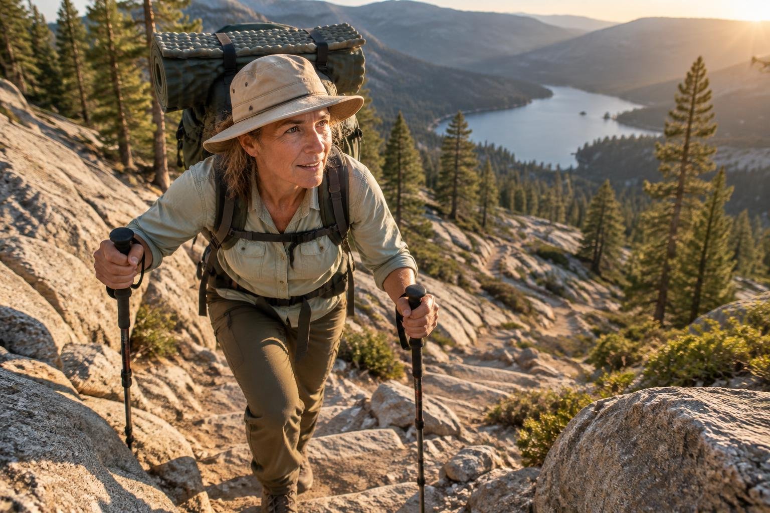
Start with effort. The Kumano Kodo and the Lycian Way are rated moderate to strenuous or moderate to hard, while the Haute Route, GR20, John Muir Trail and Enchantments are very strenuous or expert-level. Then consider length: the Enchantments is one long one-way day, the Inca Trail and Laugavegur take roughly 3-4 days, and the Lycian Way and John Muir Trail are far longer. Finally, check logistics. The Milford Track, Inca Trail and Overland Track involve managed access, so confirm permits and booking windows with the managing authority before committing.
When to go
Seasons in this collection cluster in two patterns. High-alpine and Arctic routes have short summer windows: the Haute Route runs mid-July to mid-September, the John Muir Trail July to September, Kungsleden late June to mid-September and Laugavegur roughly late June to early September. The Southern Hemisphere Milford Track and Overland Track run roughly November to April or October to May, while the Inca Trail's dry season is May to September. The Kumano Kodo and Lycian Way favor spring and autumn. Always confirm exact dates with each managing authority.

Common questions
Which thru-hikes in this collection are the most demanding?
The Walker's Haute Route, GR20, John Muir Trail and Enchantments are each rated very strenuous or expert-level in their facts. The Inca Trail, Alta Via 1, Kungsleden and Overland Track are listed as strenuous.
Which routes are rated moderate?
The Kumano Kodo is moderate to strenuous with no technical terrain, and the Milford Track and Laugavegur share that moderate-to-strenuous grade. The Lycian Way is moderate to hard, varying by section.
Do any of these routes involve managed or booked access?
Yes. The Milford Track is a DOC Great Walk with an official season, the Overland Track has a booked season with capped daily walker numbers, and the Inca Trail is managed by Peru's Ministry of Culture and SERNANP. Check each authority.
When is the best time to hike these routes?
It depends on the route. High-alpine and Arctic trails favor roughly late June to September, the Milford and Overland tracks run in the Southern Hemisphere summer, and the Kumano Kodo and Lycian Way suit spring and autumn. Confirm dates with each manager.
Sources
Facts come from each route's official managing authority, linked on its trail guide:
- Department of Conservation (DOC) — doc.govt.nz (Milford Track — Fiordland)
- Peru Ministry of Culture / SERNANP — machupicchu.gob.pe (official Machu Picchu site, Peru Ministry of Culture) (Inca Trail to Machu Picchu)
- Ferðafélag Íslands (Icelandic Touring Association) — fi.is (Laugavegur Trail — Iceland)
- U.S. National Park Service & Forest Service — nps.gov (JMT) (John Muir Trail)
- U.S. Forest Service — fs.usda.gov (Enchantments, Okanogan-Wenatchee National Forest) (The Enchantments)
- Alpine clubs & regional authorities — sac-cas.ch (Swiss Alpine Club, Swiss huts only) (Walker's Haute Route — Chamonix to Zermatt)
- Parc naturel régional de Corse — pnr.corsica (GR20 — Corsica)
- Regional authorities & CAI — dolomiti.org (regional tourism portal) (Alta Via 1 — Dolomites)
- Länsstyrelsen & STF — STF (Swedish Tourist Association, hut operator) (Kungsleden — Abisko to Kebnekaise)
- Tasmania Parks & Wildlife Service — parks.tas.gov.au (Overland Track) (Overland Track)
- Tanabe City Kumano Tourism Bureau — tb-kumano.jp (Kumano Tourism Bureau, Kumano Kodo) (Kumano Kodo — Nakahechi)
- Culture Routes Society & regional authorities — cultureroutesinturkey.com (Culture Routes Society, nonprofit route founder) (The Lycian Way)
Conditions, permits and access rules change without notice — confirm current information with each managing authority before you go. See our editorial policy.