
Affiliate disclosure: this page contains affiliate links. Purchases made through them may earn us a commission at no extra cost to you. See our affiliate disclosure.
In plain English
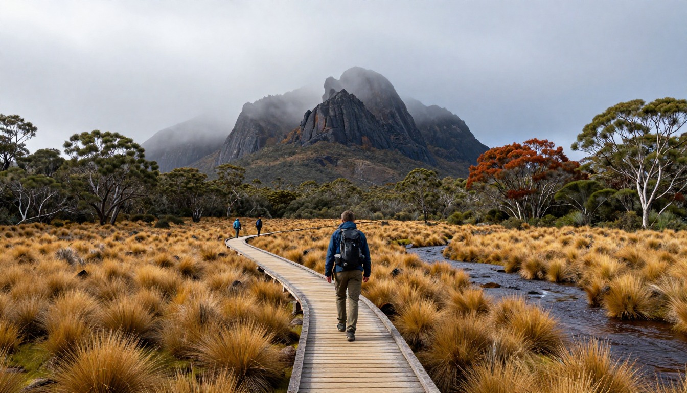
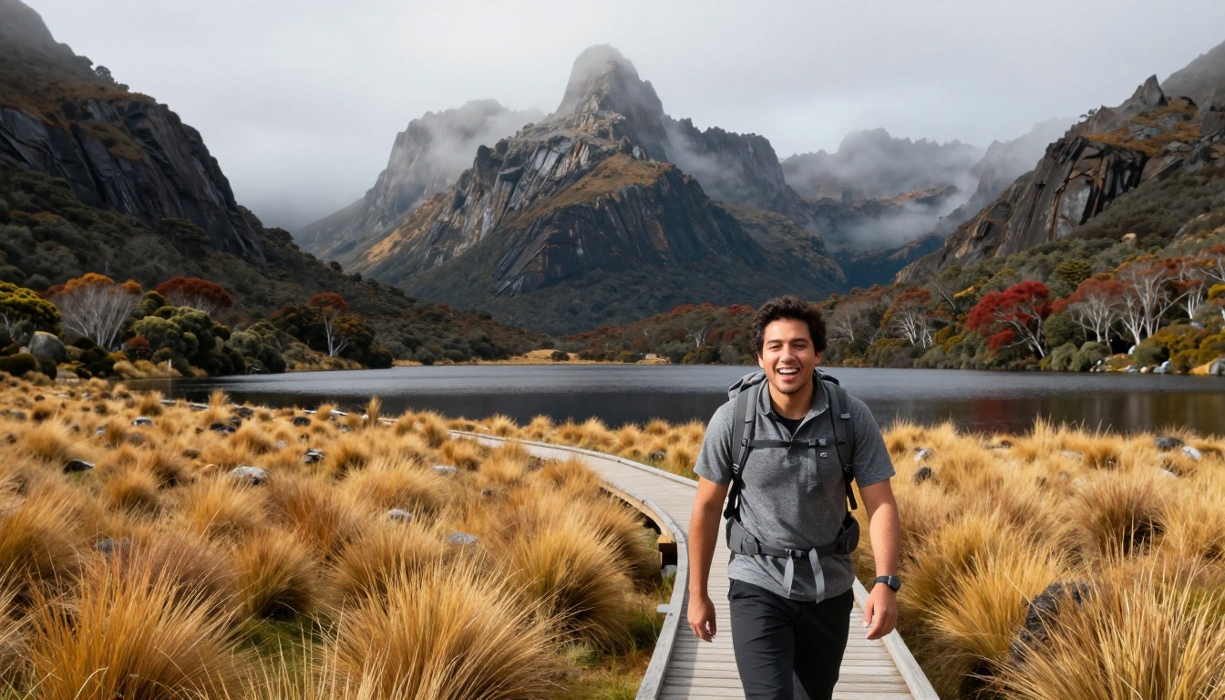
The Overland Track is a long walk through the mountains of Tasmania, usually taken over about six days. Parts of the route are on raised wooden boardwalks across wet moorland. Between boardwalks the ground can be deep mud. There are also patches of rainforest and open high country where the weather can change quickly.
You sleep in simple public huts or in tents. Huts are not booked night by night, so you should always carry a tent as a backup. Think of the hut as a bonus if there is space rather than a guarantee.
Your pack has to carry a week of food, a tent, sleeping gear and warm, waterproof clothing. It needs to be well organized and dry inside. The mud means your feet will probably get wet at some point, so plan for that rather than trying to avoid it.
What the hike is like
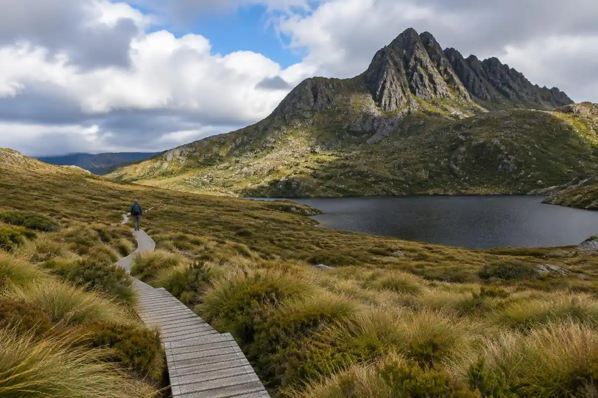
The Overland is a mud-and-duckboard trek, and the duckboard is the mercy. Long stretches of the route run on raised timber walkway across open button-grass moorland, laid down precisely because the ground underneath is peat that turns to soup. Where the boardwalk ends, the track often does become that soup, churned by boots into ankle-deep sections that cannot be walked around without widening the damage. Between the moorland the route drops into pockets of temperate rainforest, where the surface turns to roots, rock and slick timber steps under a closed canopy, then climbs back onto exposed plateau where weather arrives with no warning at all. Side trails branch off toward peaks, waterfalls and lookouts along the way, and those spurs are steeper and rougher than the main track they leave.
How to plan the itinerary
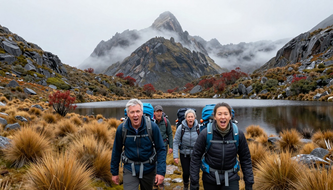
Six days walking north to south is the standard, with each night at one of the basic public huts or the tent platforms beside them. Because those cannot be reserved night by night, the itinerary is a plan rather than a guarantee — a tent comes regardless, and a hut that is full simply means pitching outside. The rhythm most walkers settle into is a moderate day on the main track plus one side trip, which is where a lot of the trek's best walking actually is; skipping every spur makes for shorter days and a thinner trip. At the southern end, walkers either take the boat service across the lake or add a long lakeside walk instead, and that choice is worth making before the final morning rather than on it.
Plan this trip in 5 steps
-
Pick the right pack
Match a pack to your trip, fit and priorities.
-
Plan food & water
Calories, food weight and water for your days on trail.
Trail-specific tips
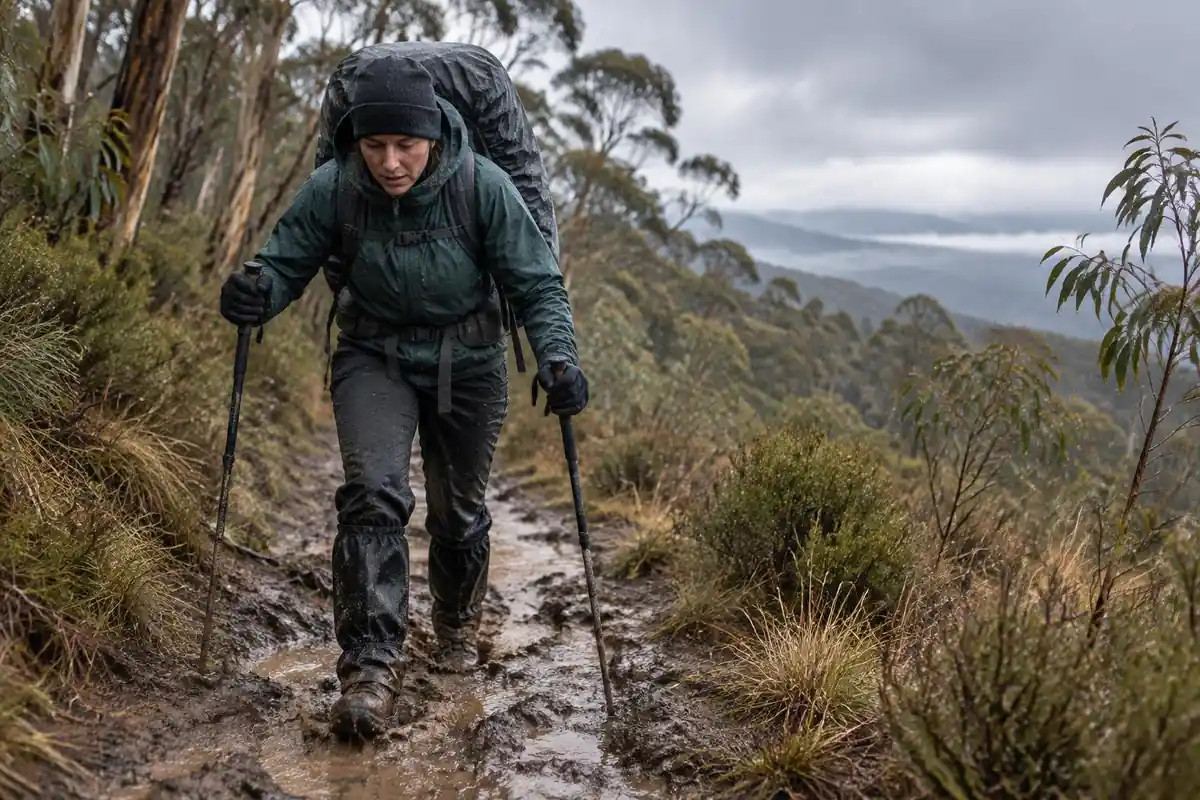
Accept wet feet on day one and stop fighting it — walkers who tiptoe around every mud hole widen the track and still finish soaked. Walk through the middle, wear boots you do not mind ruining, and carry dry camp socks as a sacred item. Budget time and energy for side trips rather than treating them as optional extras; they are a large share of what makes six days worthwhile. Pack for genuinely cold, wet weather in any season, since the exposed plateau sections offer nothing to shelter behind. General layering and river-crossing judgment lives on /trail-smarts/.
Permits & rules
In the peak booked season you must reserve a start date, pay the Overland Track fee, and walk north-to-south; the public huts are first-come, so always carry a tent. Tasmanian mountain weather is cold and wet in any season — pack for all of it.
Gear suited to this hike
Matched to the terrain and conditions here. Real products — check current price on Amazon.


What the park service says
The park service lists the Overland Track at 65 km one way over about six days and grades it 4, bushwalking experience recommended. It says severe cold, wet and windy weather can happen at any time of year, even summer.1 Bookings run for a summer season from 1 October to 31 May, and winter walkers from 1 June to 23 September register instead.1
Almost half the track is above 1,000 m on exposed plateaus, and after you start there is no road or commercial centre until the end, so you carry your own equipment and food for the whole walk.1 Most walkers finish at Narcissus Hut and take a ferry, which must be booked, to the Lake St Clair Visitor Centre, or walk another 17.5 km along the lake.1 Check the park service's current booking rules, fees and track closures before you plan.
Mud, boardwalk and gear that copes with both
Mud is a feature, not an accident. The Green Mountain Club notes that hiking muddy trails compacts soil, reducing water absorption and increasing erosion, and that walking around mud widens trails and tramples vegetation.2 That advice comes from Vermont, but the principle is general: walking straight through a muddy patch protects the surrounding vegetation. Gaiters help here. They seal around footwear to keep dirt, dust, rocks and snow out.5
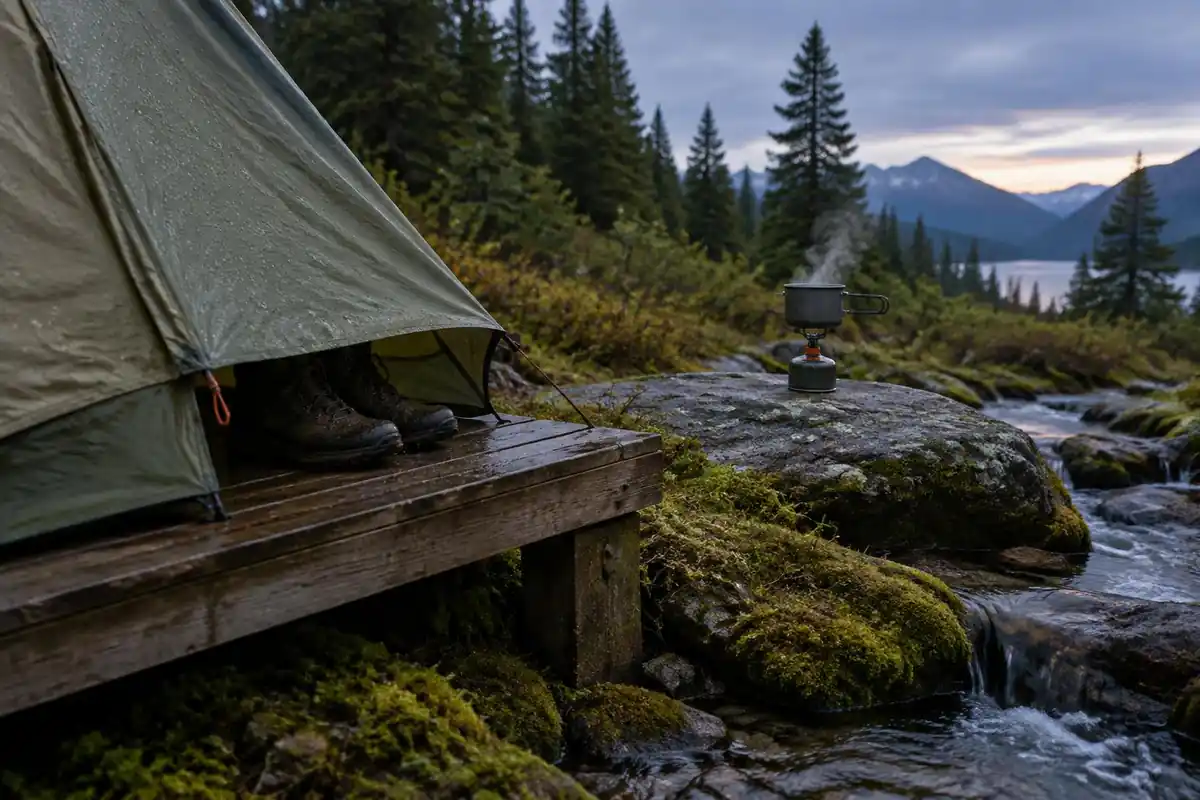
A dry sleeping system matters more than dry feet. Pack fabric usually has a waterproof interior coating, but water can still enter through seams and zippers, and waterproof stuff sacks inside the pack can beat a rain cover in wind.6 Deuter also notes that sustained downpours can let moisture through even waterproof fabric.3
Pack size, weather and staying warm
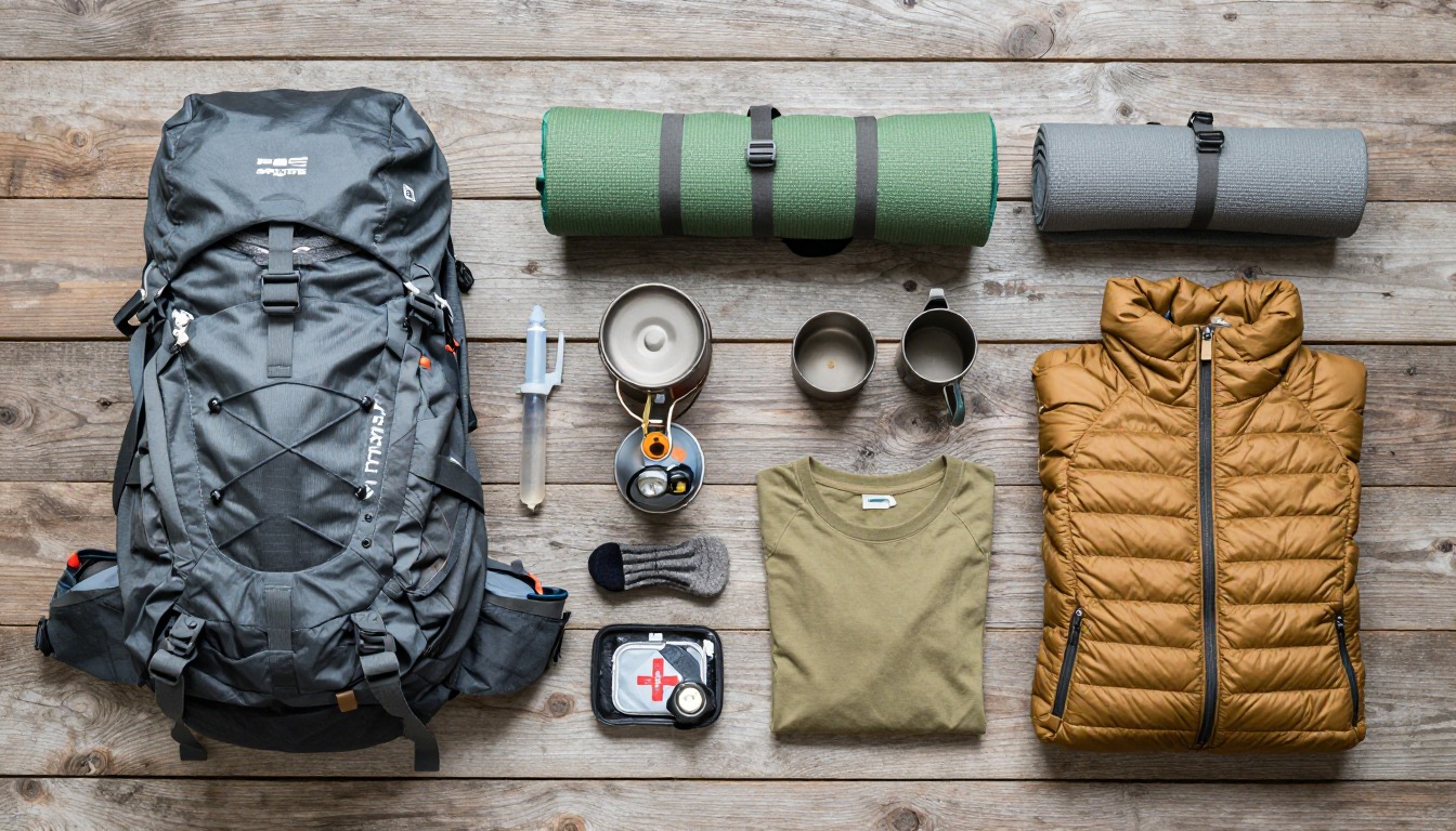
The Washington Trails Association suggests 50 to 70 liters for 3 to 7 nights,4 and a trek with a tent, rain gear and six days of food belongs in that range. Keep the heaviest items close to your spine about two-thirds up the main compartment, with sleeping gear at the bottom, as the Appalachian Mountain Club advises.7
Weather arrives without warning on the plateau. CDC says hypothermia can develop above 40°F if a person is chilled from rain, sweat or cold water,8 and wet cotton is a poor choice for that reason, according to the National Park Service, which suggests wool or synthetic layers instead.9
Common questions
Do I really need a tent if there are huts?
Yes. The public huts are first-come with no night-by-night booking, so on a busy evening or after a slow day there may be no bunk left when you arrive. The tent platforms beside the huts are the fallback, which makes carrying a tent a genuine requirement rather than cautious over-packing.
How bad is the mud, honestly?
In the unboarded sections it can be ankle-deep and occasionally worse after sustained rain, and it is one of the defining features of the trek rather than an unlucky exception. Gaiters help, waterproof boots delay the inevitable, and a pragmatic attitude helps most. Plan your footwear around getting wet, not around staying dry.
Are the side trips worth the extra effort?
For most walkers, yes — the spur trails to peaks, waterfalls and lookouts are where a lot of the route's best scenery sits, and the main track alone can feel like a means of getting between them. They are steeper and rougher than the main track, so save energy and weather windows for the ones you most want.
Does the walking direction matter?
It does in the booked season, when walkers travel north to south to keep traffic moving one way along the route. That also shapes your transport: because the trek finishes at the opposite end from where it starts, a shuttle or vehicle arrangement between the two ends needs sorting before you begin.
Complete gearsets for this trip
Full curated kits built for exactly this kind of hike.

Trail conditions, permits and access rules change without notice — always confirm current information on the official source above before you go. Some facts on this page are still pending owner verification and are marked accordingly. Product links and the accommodation map are affiliate links: we may earn a commission at no extra cost to you; product prices and availability are shown on Amazon, and accommodation prices on the booking site. See our affiliate disclosure.