
Affiliate disclosure: this page contains affiliate links. Purchases made through them may earn us a commission at no extra cost to you. See our affiliate disclosure.
In plain English
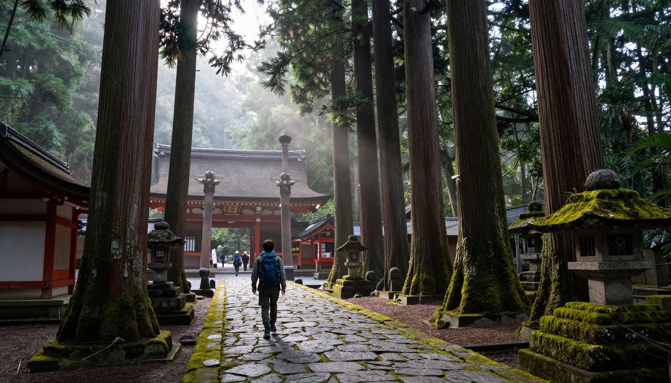
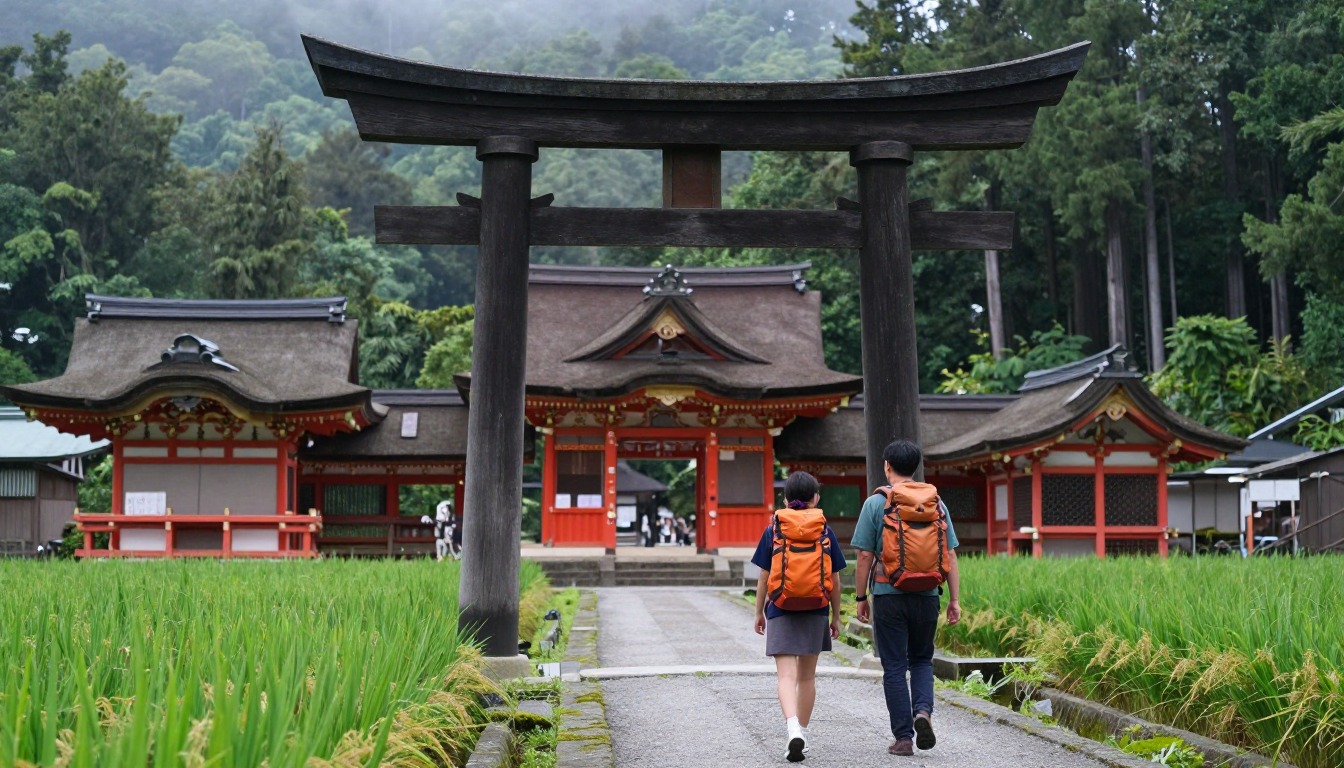
The Kumano Kodo Nakahechi is an ancient pilgrimage route through the mountains of Japan's Kii Peninsula. You walk from village to village on forest paths, old stone paving and stairs. It is hillier than many people expect, with climbs and descents over passes each day.
You sleep in small inns and guesthouses in the villages, not in tents. Many walkers use luggage-transfer services and carry only a small daypack. That makes the walking easier, but you have to book rooms in advance because the inns are small.
For your pack, think small and dry. A daypack with a rain jacket, water, snacks, a warm layer and a change of socks is enough on most days. The stones and roots are slippery when wet, so grip and a slow pace matter more than speed.
What the hike is like
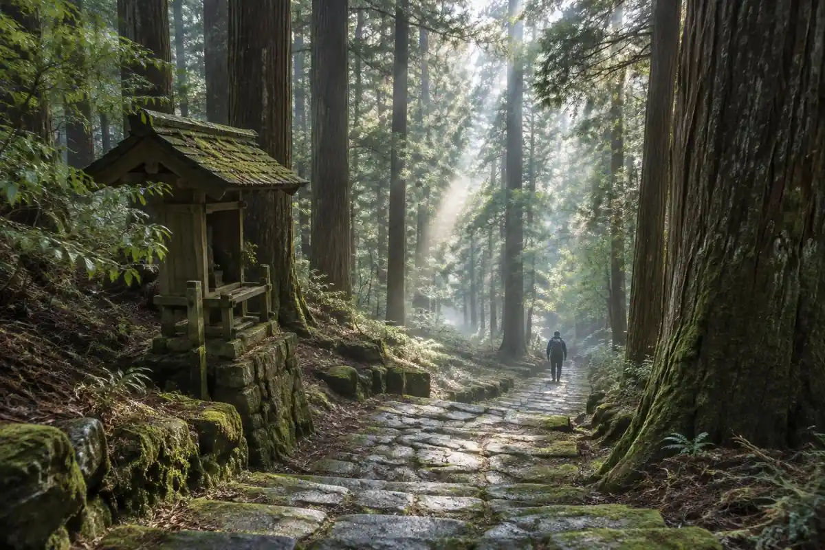
The Nakahechi is far hillier than the word 'pilgrimage' suggests. The route climbs and descends repeatedly between passes, on a forest path that alternates between packed earth, tree roots, and old stone paving laid down centuries ago and now slick with moss. Cedar plantations close overhead for long stretches, so the walking happens in a kind of green half-light with little in the way of wide views — what you get instead is a slow accumulation of small things: a shrine marker at the top of a climb, a village appearing where the trail meets a road, stone steps worn into hollows by generations of feet. Numbered markers and signage run along the route, and short road sections link the forest paths where the trail passes through mountain hamlets.
How to plan the itinerary
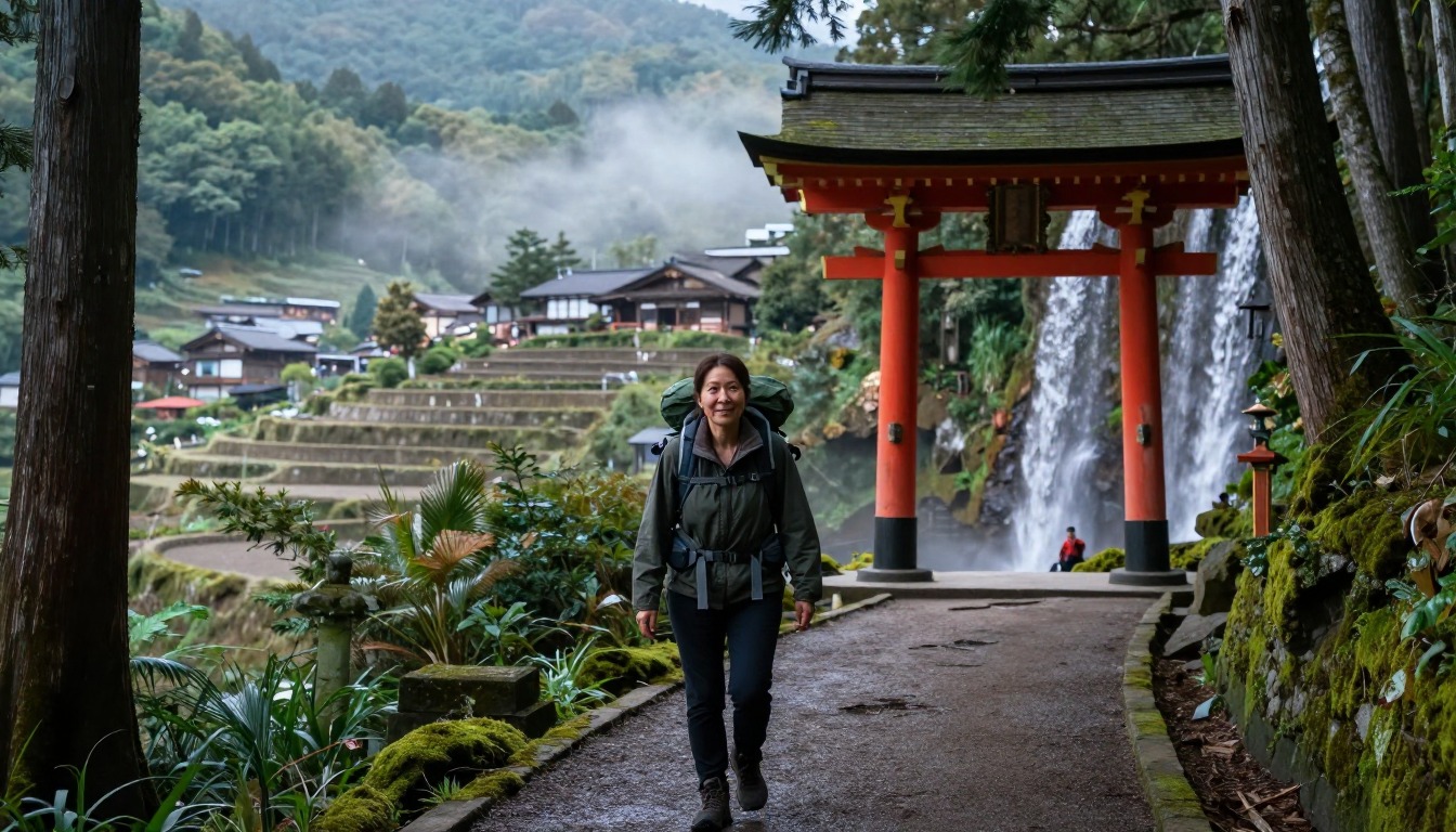
It is walked village to village over several days, and because the small inns in those hamlets have only a handful of rooms between them, the staging is fixed by your lodging bookings before you leave home rather than decided each afternoon. Most walkers start from the usual inland trailhead reached by bus from Tanabe, work east across the peninsula toward the Kumano Hongu shrine area, and continue on toward the other grand shrines from there. Days tend to be moderate in length but slower than the numbers imply, because of the climbing. Local buses connect the villages and trailheads, so sections can be shortened or skipped without abandoning the walk, and luggage-transfer services mean many people carry only a day pack. Rural bus timetables are sparse, so check the next day's connections each evening.
Plan this trip in 5 steps
-
Pick the right pack
Match a pack to your trip, fit and priorities.
-
Plan food & water
Calories, food weight and water for your days on trail.
Trail-specific tips
Aim to reach each night's inn in good time rather than late — village lodging serves dinner on its own schedule, and arriving after it has started is awkward for a small family-run place. That alone is reason to start early. The old stone paving is the slipperiest surface on the route when wet, so shoes with proper tread matter more than ankle support. Carry food for the day: shops between villages are scarce and not to be counted on. Cash is worth having in the hamlets. General footwear and layering guidance sits on /trail-smarts/.
Permits & rules
No permit is needed. The Nakahechi is walked hut-free, inn-to-inn, so the key is booking the small village ryokan and minshuku well ahead — they fill fast and there are few beds. Carry the pilgrim stamp book if you want to collect the shrine seals.
Gear suited to this hike
Matched to the terrain and conditions here. Real products — check current price on Amazon.


What the tourism bureau says
The Tanabe City Kumano Tourism Bureau describes the Nakahechi as the main route linking the three Grand Shrines of Kumano and the core trail of the pilgrimage network, with a history of over 1,000 years.1 It says the route can be walked in consecutive day treks or as shorter highlight walks, that local buses reach the isolated villages where lodging is found, and that infrastructure such as English signs, maps and luggage shuttle services is developed.1 It also notes that this is a mountain environment, so multi-day walkers should be prepared.1
Distances such as 70 to 75 km and the 4 to 7 day range on this page are planning estimates. Sections of the wider trail network can close for long periods, so check the bureau's route information for current status before you book flights and rooms.
Slippery stone, roots and the case for poles
Wet moss on old stone paving is the real hazard. On steep descents poles can help: in a study on a 25 degree ramp, poles lowered knee compressive and shear forces by 12 to 25%.2 The benefit held across pack loads in another study,4 but on level ground poles did not reduce knee compression,5 so they matter most on the long descents between passes.
Dermatologists recommend well-fitting shoes and nylon or moisture-wicking socks, since wet, chafed feet turn into blisters over several consecutive days.6 With a route that climbs and descends every day, foot care is more useful than pack extras.
Luggage transfer changes the packing question
Luggage-transfer services can move your main bag ahead to each night's lodging; the tourism bureau lists a luggage shuttle among its services, so arrange it before you start.1 If you use it, your daypack becomes the pack that matters. The Washington Trails Association suggests 25 to 30 liters for a full-day hike.7
Keep the heaviest items close to the spine, about two-thirds up, and cinch compression straps, per the Appalachian Mountain Club.8 Pack fabric can leak at seams and zippers in sustained rain, so put spare socks and a warm layer in a waterproof stuff sack.3 Forest walking in warm months also means ticks may be a concern; CDC advises walking in the center of trails and treating clothing with permethrin,9 though CDC's guidance is written for the United States.
Common questions

Is the Kumano Kodo physically demanding?
More than most people expect. It is not technical and it is well signed, but the route climbs and descends between passes all day, and the accumulated ascent over several consecutive days adds up. Treat it as genuine hill walking with comfortable nights, rather than a flat cultural stroll between shrines.
Do I need to carry my full pack between villages?
Not necessarily. Luggage-transfer services operate along the route and move your main bag ahead to that night's lodging, which is why many walkers cover the trail with just a day pack. Arranging it before you start is important, since it changes both how you pack and what each day feels like.
Can I shorten a day if I'm tired?
Yes — local buses link the villages and trailheads along the route, so walkers regularly ride a section and walk the rest. The catch is that rural timetables are limited, so this works far better when you have checked the day's services in advance than as a spontaneous decision on the trail.
What should I know about walking it in the rain?
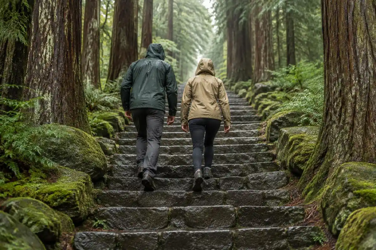
Rain changes the surface more than the scenery. The old stone paving and the tree roots both become genuinely slippery, and the forest sections stay wet long after the weather clears. A proper rain shell, grippy footwear and a slower pace on the stone sections handle it; the forest itself is atmospheric in mist.
Complete gearsets for this trip
Full curated kits built for exactly this kind of hike.


Trail conditions, permits and access rules change without notice — always confirm current information on the official source above before you go. Some facts on this page are still pending owner verification and are marked accordingly. Product links and the accommodation map are affiliate links: we may earn a commission at no extra cost to you; product prices and availability are shown on Amazon, and accommodation prices on the booking site. See our affiliate disclosure.