
Best Time to Hike Kungsleden — Abisko to Kebnekaise
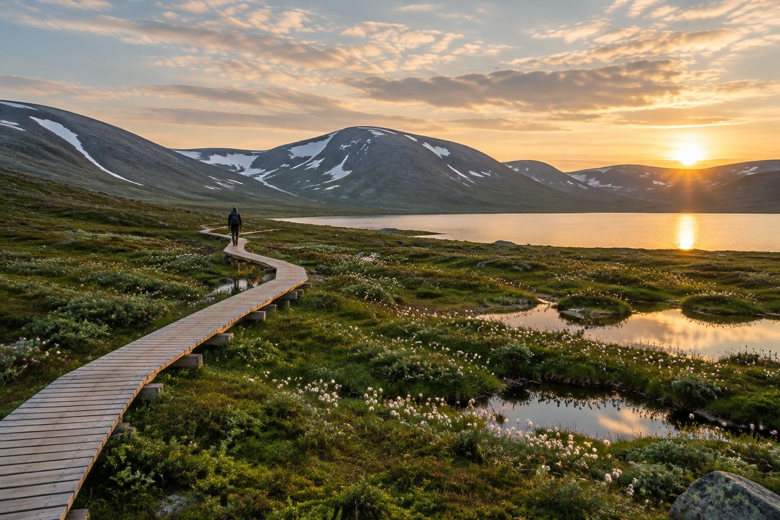
The best time to hike Kungsleden from Abisko to Kebnekaise is late June to mid-September, per the official season guidance. That window brings the warmest stretch of the year, near-continuous daylight early on, and open summer conditions. Outside it, the route becomes a winter ski route.
Month-by-month climate for Kungsleden — Abisko to Kebnekaise
| Month | Relative warmth | Rain | Daylight |
|---|---|---|---|
| Jan | Coldest | 101 mm | 1.8 h |
| Feb | Coldest | 100 mm | 7.2 h |
| Mar | Coldest | 123 mm | 11.1 h |
| Apr | Cool | 100 mm | 15.3 h |
| May | Mild | 100 mm | 19.8 h |
| Jun | Warm | 127 mm | 24 h |
| Jul | Warmest | 164 mm | 22.7 h |
| Aug | Warmest | 132 mm | 17 h |
| Sep | Warm | 119 mm | 12.7 h |
| Oct | Cool | 115 mm | 8.7 h |
| Nov | Coldest | 95 mm | 4 h |
| Dec | Coldest | 105 mm | 0 h |
Modelled regional averages for 2010–2023 (rainfall) and calculated daylight hours; they describe the wider area, not a reading taken on the trail. “Relative warmth” compares each month with the warmest and coldest months of this place’s own year. It is not a temperature, and the high parts of a route are colder than the region around them.
Modelled regional averages show rainfall is substantial all year, from about 95 mm in November to 164 mm in July, so no month is truly dry. July is the wettest month and also among the warmest, alongside August; January through March and November through December are the coldest months of this place's year. Daylight swings dramatically, from 0.0 hours in December and 1.8 in January to 24.0 hours in June and 22.7 in July, then drops to 12.7 hours by September.
Kungsleden — Abisko to Kebnekaise season by season
Early summer · Late June to July
This is the start of the official hiking window and the warmest part of the year, with daylight running at 24.0 hours in June and 22.7 in July. You can hike at almost any hour. The trade-off is moisture: July averages about 164 mm of rain, the highest of any month, so waterproofs matter. Confirm hut opening dates and expect river crossings and fast-changing weather on this remote Arctic route.
Late summer · August to mid-September
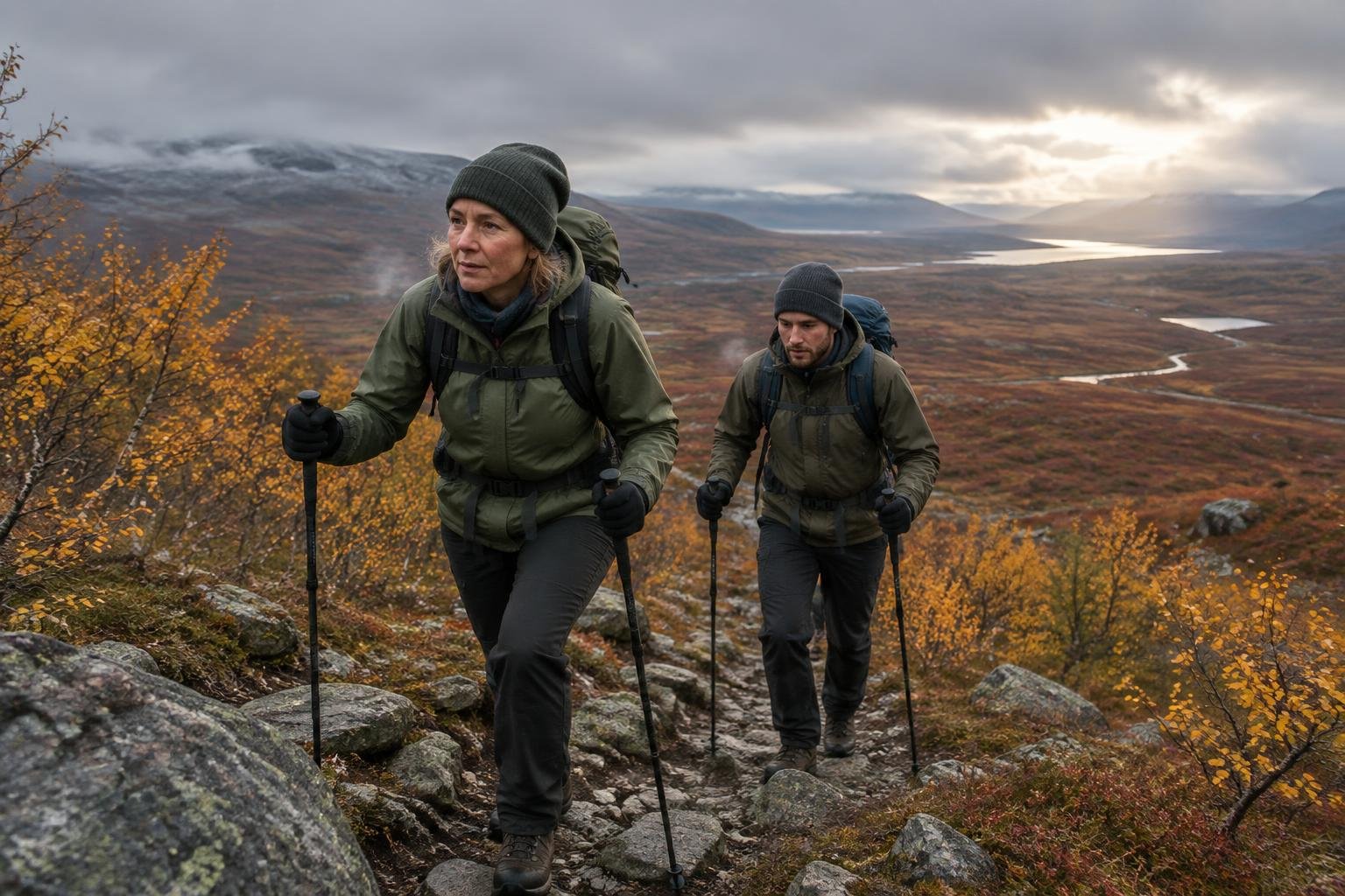
August remains among the warmest months, with about 132 mm of rain and 17.0 hours of daylight, easing to roughly 12.7 hours by September. Warmth drops from warmest in August to warm in September, and the nights lengthen noticeably. The official season guidance runs to mid-September, so plan to finish within it and check with the managing authority for hut dates and conditions.
Autumn shoulder · October to November
Outside the official window, warmth falls to cool in October and coldest by November, while daylight shrinks from 8.7 hours to 4.0. Rainfall stays around 95 to 115 mm. The official season guidance names late June to mid-September for hiking, so these months fall outside it. Check with the managing authority before considering anything in this period.
Winter and spring · December to May
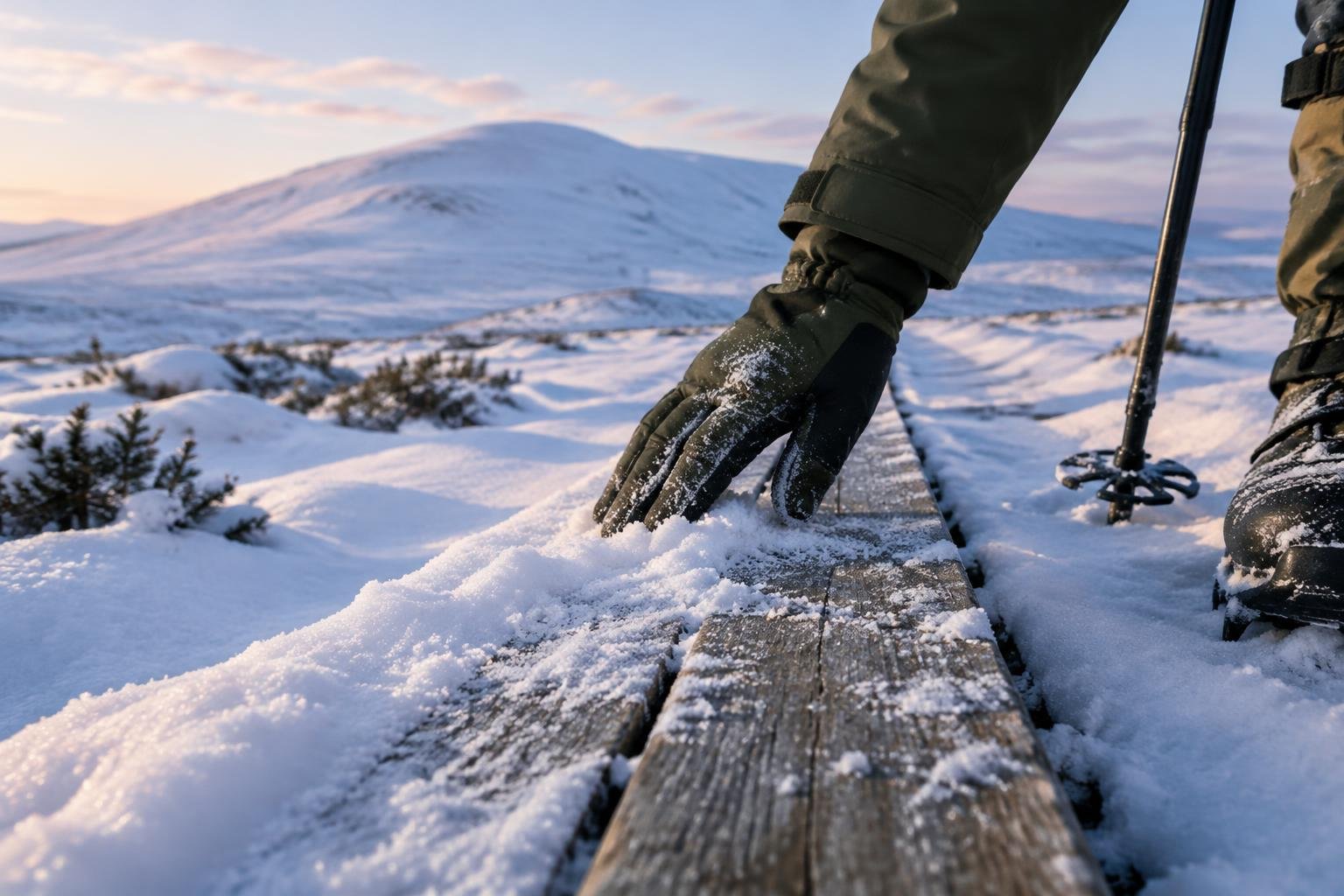
The route is described officially as a ski route in winter. December has 0.0 hours of daylight and January only 1.8, with January through March the coldest months of this place's year. Daylight returns quickly, reaching 11.1 hours in March and 19.8 in May, and warmth climbs from cool in April to mild in May. These months suit skiers, not summer hikers.
Official season guidance
Länsstyrelsen & STF: Late June to mid-September; winter is a ski route
No permit is needed, and Sweden’s right of public access allows responsible wild camping. This is a remote Arctic route with river crossings and fast weather — carry proper gear and check hut opening dates.
Check current dates on STF (Swedish Tourist Association, hut operator)What to pack for the season
Season drives the kit. Even in the hiking window, carry layers you can add or shed, solid rain cover given the wet months, and sun protection for long daylight hours. Early in the season expect nearly continuous light, while by September a headlamp becomes useful as daylight shortens. Check hut opening dates before you rely on them.
For layering, rain cover and weather planning, see hiking in rain, heat and cold.
Timing mistakes to avoid
The most common error is treating the window as a guarantee rather than a guide. The route runs from late June to mid-September, so starting outside it means dealing with a winter ski route. Another is choosing July for warmth without allowing for it being the wettest month. Finally, don't ignore the official note to check hut opening dates, since river crossings and fast weather add risk on this remote Arctic trek.
Common questions
When is the Kungsleden hiking season?
The official season guidance gives late June to mid-September for hiking this stretch from Abisko to Kebnekaise. Outside those dates the route is treated as a winter ski route. Confirm current conditions and hut opening dates with the managing authority before you plan your trip.
Which month is wettest on this route?
Modelled regional averages put July as the wettest month at about 164 mm, followed by August at about 132 mm. Rain is typical in every month, from roughly 95 mm in November upward, so waterproof gear makes sense throughout the hiking window and the figures are regional averages, not trail measurements.
How much daylight can I expect?
Daylight varies enormously. June reaches 24.0 hours and July 22.7, so you can hike around the clock. By August it is 17.0 hours and by September about 12.7. In winter it falls to 0.0 hours in December, which is one reason the route is a ski route then.
Do I need a permit in summer?
No permit is needed, and Sweden's right of public access allows responsible wild camping. Because this is a remote Arctic route with river crossings and fast weather, carry proper gear and check hut opening dates with the managing authority, since huts may not be open across the entire hiking window.
Sources
- Länsstyrelsen & STF — STF (Swedish Tourist Association, hut operator): official season and permit guidance.
- NASA POWER (Prediction Of Worldwide Energy Resources): monthly temperature and rainfall averages, 2010–2023, from MERRA-2 reanalysis. Daylight hours are calculated from latitude.
Conditions, closures and permit rules change without notice — confirm current information with the managing authority before you go. See our editorial policy and affiliate disclosure.