
Hikes in Italy
Hikes in Italy range from a multi-day, hut-to-hut thru-hike through the Dolomites to short coastal point-to-point walks and cable-car-assisted ridge loops. Difficulty runs from easy to moderate on the Ligurian and Amalfi coasts up to strenuous in the high Alps, and seasons span roughly April to October depending on the region.
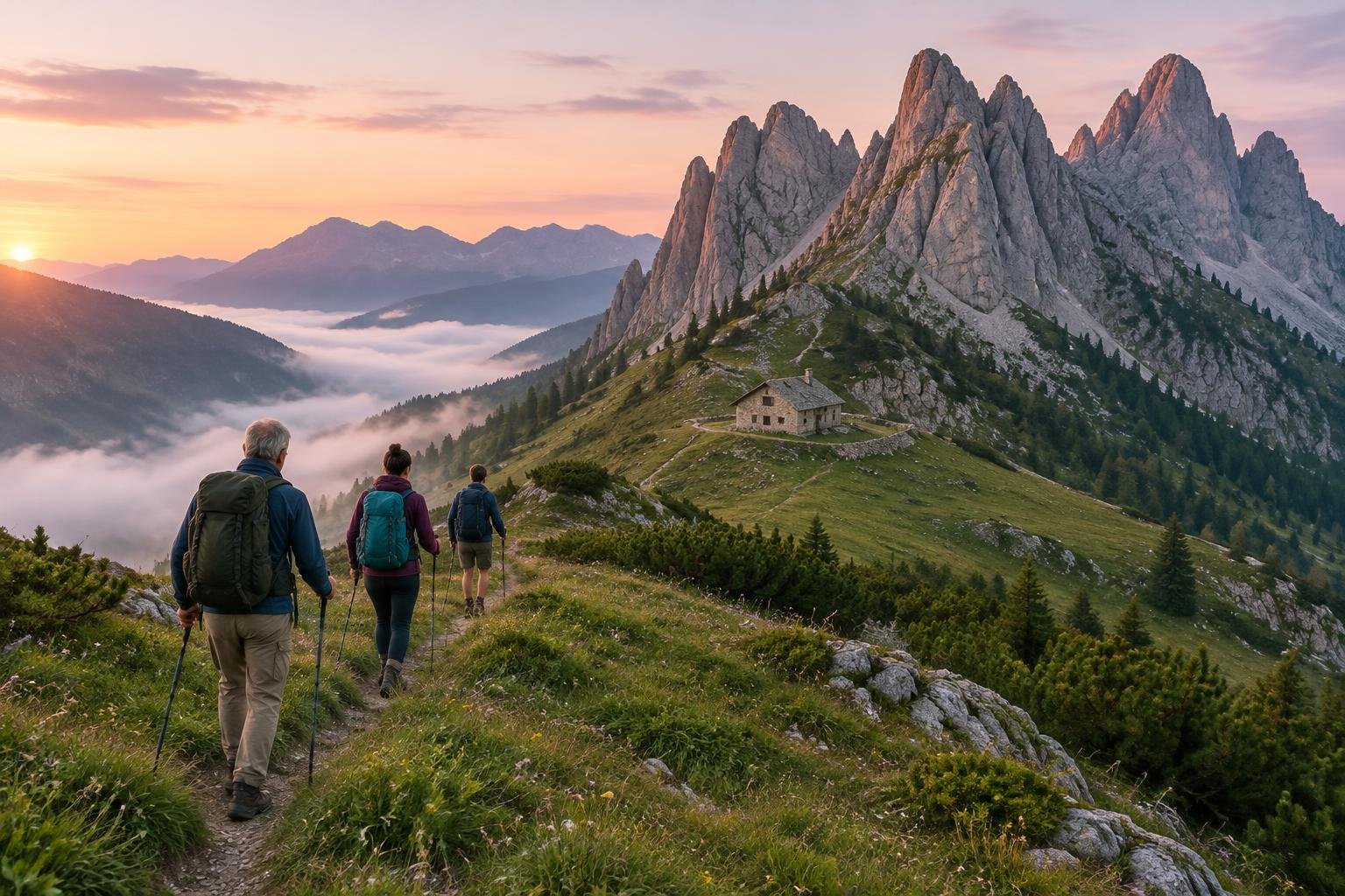
This collection gathers five Italian routes that show how varied walking in the country can be. Two sit in the Dolomites, one on the high Alpine route around Mont Blanc, and two follow famous coastlines in Liguria and Campania. Route types include a thru-hike, point-to-point walks, and loop options, so you can match the trip to the time you have. Some are long hut-to-hut undertakings supported by mountain rifugi, while others are single-day outings linking villages or cable-car stations. Each trail is managed by a different regional authority, park, or alpine association, so conditions and rules differ from page to page.
The routes at a glance
-
Alta Via 1 — Dolomites · Dolomites · Italy
Alta Via 1 is a strenuous hut-to-hut thru-hike through the Dolomites, running from Lago di Braies or Dobbiaco to Belluno. The distance is roughly 120-125 km, and some sections have via-ferrata-assisted exposure depending on the variant you take. It suits experienced walkers planning a multi-day trip while the rifugi are open.
- Distance
- ~120-125 km (75-78 mi), Lago di Braies/Dobbiaco to Belluno
- Difficulty
- Strenuous (hut-to-hut multi-day; some sections have via-ferrata-assisted exposure depending on variant taken)
- Official season
- Late June to September, when the rifugi are open
-
Tour du Mont Blanc — Val Veny & Courmayeur · Alps · Italy (TMB)
This is a point-to-point segment of the Tour du Mont Blanc, typically split over two stages. It starts at Les Chapieux, crosses Col de la Seigne at 2,516 m, passes through Val Veny and Rifugio Elisabetta, and ends in Courmayeur. It is strenuous because of the high pass and a long second day, though it is not the full circuit.
- Distance
- ~33-39 km combined, typically split over 2 stages (Les Chapieux, over Col de la Seigne 2,516 m, through Val Veny/Rifugio Elisabetta, to Courmayeur)
- Difficulty
- Strenuous (high pass crossing plus a long second day; not multi-day-expedition-level like the full TMB circuit)
- Official season
- Mid-June to mid-September
-
Cinque Terre — Sentiero Azzurro · Ligurian Coast · Italy
The Sentiero Azzurro links the five villages of Cinque Terre over 12 km, walked as a chain of four connected sections. Overall it is easy to moderate: the Riomaggiore-Manarola stretch is flat and paved, while the Corniglia-Vernazza and Vernazza-Monterosso sections are steeper and rougher with many steps. It suits walkers who want a village-to-village coastal day.
- Distance
- 12 km (7.5 miles) total, split into 4 linked sections between the 5 villages (Monterosso, Vernazza, Corniglia, Manarola, Riomaggiore)
- Difficulty
- Easy to moderate overall — the Riomaggiore-Manarola stretch (Via dell'Amore) is flat and paved, while the Corniglia-Vernazza and Vernazza-Monterosso sections are steeper and rougher with many steps
- Official season
- April to October; summer is hot and crowded
-
Path of the Gods — Amalfi Coast · Amalfi Coast · Italy
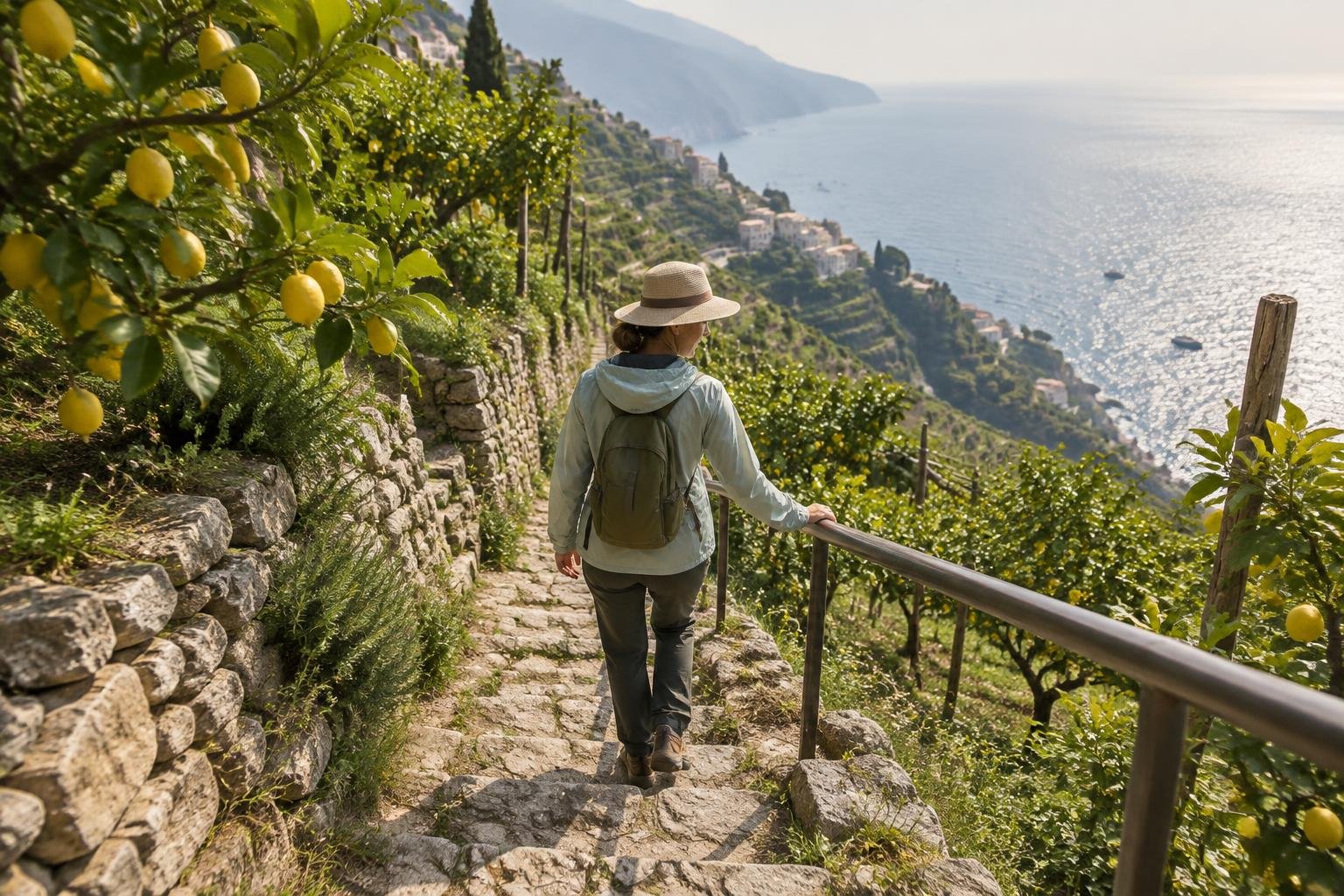
Path of the Gods is a 7.8 km one-way walk from Bomerano (Agerola) to Nocelle on the Amalfi Coast, usually walked downhill. The old mule-track terrain is uneven with some cliffside exposure but is not technical, and the difficulty is moderate. Many walkers continue down a long stairway to Positano.
- Distance
- 7.8 km (4.8 miles) one way, Bomerano (Agerola) to Nocelle
- Difficulty
- Moderate — uneven ancient mule-track terrain with some cliffside exposure, but not technical
- Official season
- April–June and September–October; summer is hot
-
Seceda & Alpe di Siusi — Val Gardena · Dolomites · South Tyrol, Italy
This page covers two cable-car-served areas in South Tyrol that are often combined in one day: the Seceda ridge and the Alpe di Siusi plateau. Cable-car-assisted options are easy to moderate, with a short Seceda summit loop of about 4 km and gentle paths across Alpe di Siusi. Climbing on foot from the valley is moderate to strenuous.
- Distance
- Two distinct cable-car-served areas typically combined in one day, not a single trail: (1) Seceda ridge - from the Col Raiser/Seceda cable-car top station, an easy ~4 km summit loop with more extended on-foot options from the valley (2.5-4.5 hrs depending on starting village - Selva, Santa Cristina, or Ortisei); (2) Alpe di Siusi plateau - a network of gentle paths, e.g. the Saltria-Monte Pana stretch is ~12.8 km point-to-point
- Difficulty
- Easy to moderate (cable-car-assisted options); moderate to strenuous if climbing on foot from the valley floor
- Official season
- June to October
How to choose between them
Start with effort and time. Alta Via 1 is a strenuous multi-day thru-hike, while the Tour du Mont Blanc segment is a strenuous two-stage trip over a high pass. For a single day, Path of the Gods is moderate, Cinque Terre is easy to moderate overall, and Seceda and Alpe di Siusi are easy to moderate when using the cable cars. Think about route type too: Seceda and Alpe di Siusi offer loops, while Cinque Terre and Path of the Gods run point-to-point and need a plan for getting back. Finally, check each route's official season and any rules from its managing authority before you commit.
When to go
Seasons in this collection fall into two broad groups. The coastal routes run earlier and later in the year: Path of the Gods lists April to June and September to October, and Cinque Terre lists April to October, with summer noted as hot and crowded. The mountain routes sit in the warmer months: Seceda and Alpe di Siusi run June to October, the Tour du Mont Blanc segment mid-June to mid-September, and Alta Via 1 late June to September while the rifugi are open. Confirm exact dates with each managing authority before you travel.
Common questions
Which hikes in Italy are easiest?
Based on the listed difficulty, Cinque Terre's Sentiero Azzurro is easy to moderate overall, and the cable-car-assisted options at Seceda and Alpe di Siusi are easy to moderate. The Riomaggiore-Manarola stretch of Cinque Terre is flat and paved, while other sections are steeper with many steps.
Which Italian hike is a multi-day trip?
Alta Via 1 in the Dolomites is the multi-day option here: a strenuous hut-to-hut thru-hike of roughly 120-125 km from Lago di Braies or Dobbiaco to Belluno. The Tour du Mont Blanc segment is typically split over two stages.
When is the best time to hike in Italy?
It depends on the region. The coastal routes list April to October, with Path of the Gods favoring April to June and September to October. The Alpine and Dolomite routes run roughly mid-June through September or October. Check each managing authority for current dates.
Are these Italian hikes loops or point-to-point?
Mostly point-to-point. Cinque Terre, Path of the Gods, and the Tour du Mont Blanc segment are point-to-point, and Alta Via 1 is a thru-hike. Seceda and Alpe di Siusi offer loop and out-and-back options, so plan your return before you set out.
Sources
Facts come from each route's official managing authority, linked on its trail guide:
- Regional authorities & CAI — dolomiti.org (regional tourism portal) (Alta Via 1 — Dolomites)
- Regional authorities & refuge associations — autourdumontblanc.com (Tour du Mont Blanc — Val Veny & Courmayeur)
- Cinque Terre National Park — parconazionale5terre.it (Cinque Terre — Sentiero Azzurro)
- Regional authorities — comune.agerola.na.it (Comune di Agerola, the municipality at the trailhead) (Path of the Gods — Amalfi Coast)
- Regional authorities & South Tyrol tourism — valgardena.it (Val Gardena tourism association) (Seceda & Alpe di Siusi — Val Gardena)
Conditions, permits and access rules change without notice — confirm current information with each managing authority before you go. See our editorial policy.