
Best Time to Hike Tour du Mont Blanc — Val Veny & Courmayeur
The best time to hike Tour du Mont Blanc — Val Veny & Courmayeur is mid-June to mid-September, according to the official season guidance. That window pairs the longest daylight of the year with the warmest stretch of this place's calendar, though refuge reservations are effectively mandatory in summer, so book early.
Month-by-month climate for Tour du Mont Blanc — Val Veny & Courmayeur
| Month | Relative warmth | Rain | Daylight |
|---|---|---|---|
| Jan | Coldest | 107 mm | 8.9 h |
| Feb | Coldest | 74 mm | 10.1 h |
| Mar | Cool | 83 mm | 11.6 h |
| Apr | Mild | 74 mm | 13.3 h |
| May | Warm | 125 mm | 14.7 h |
| Jun | Warmest | 107 mm | 15.5 h |
| Jul | Warmest | 103 mm | 15.2 h |
| Aug | Warmest | 92 mm | 13.9 h |
| Sep | Warmest | 77 mm | 12.3 h |
| Oct | Warm | 91 mm | 10.7 h |
| Nov | Cool | 109 mm | 9.2 h |
| Dec | Coldest | 136 mm | 8.5 h |
Modelled regional averages for 2010–2023 (rainfall) and calculated daylight hours; they describe the wider area, not a reading taken on the trail. “Relative warmth” compares each month with the warmest and coldest months of this place’s own year. It is not a temperature, and the high parts of a route are colder than the region around them.
The modelled numbers show rainfall peaking in December at 136 mm, with May also wet at 125 mm, while February and April are the driest at 74 mm each. Within the official season, September is the drier month at 77 mm, against 107 mm in June. Daylight swings from about 8.5 hours in December to 15.5 hours in June. June through September are the relatively warmest months of this place's year, while December to February are the coldest. These are modelled regional averages, not trail measurements.
Tour du Mont Blanc — Val Veny & Courmayeur season by season
Winter · December to February
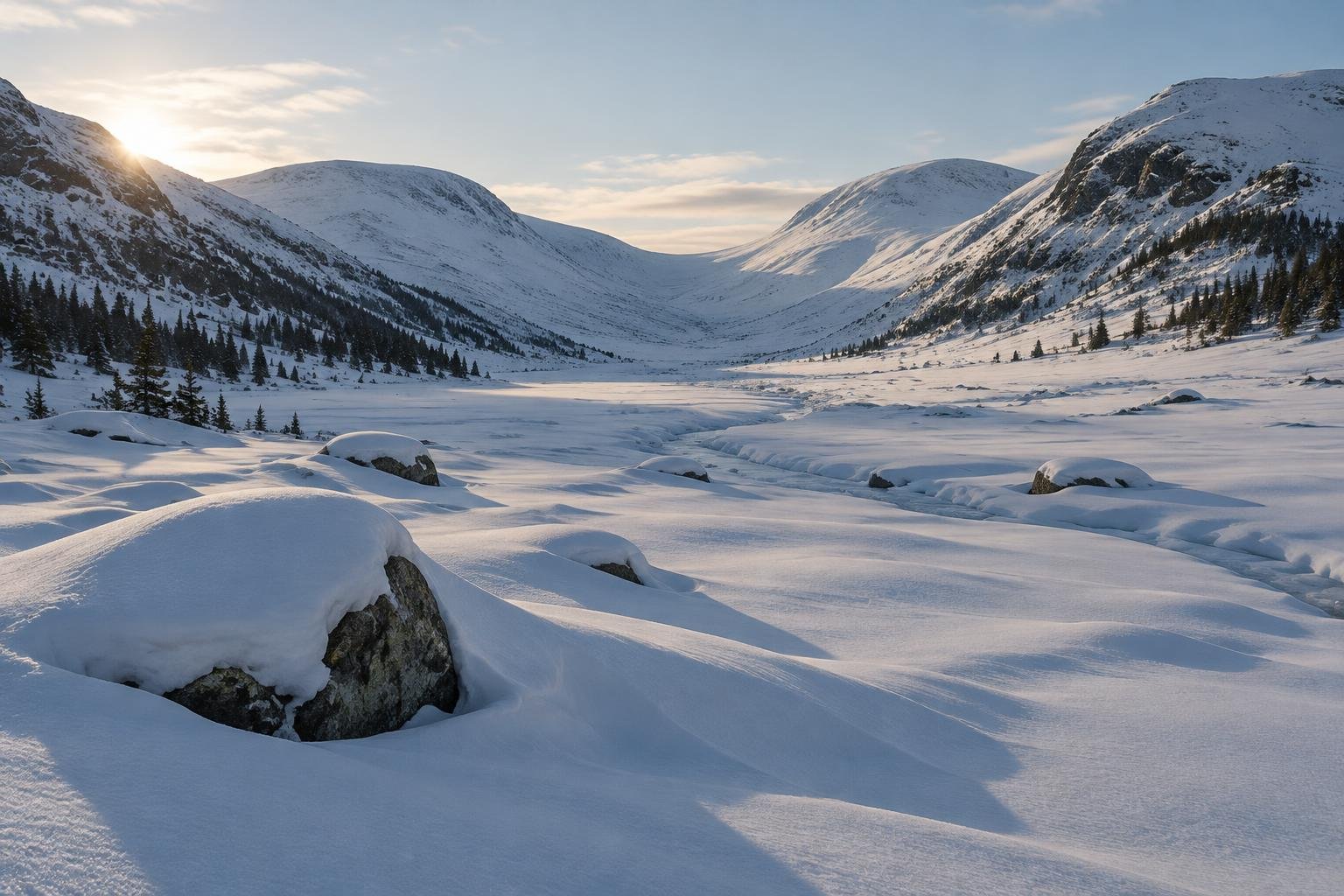
These are the coldest months of this place's year, and daylight falls to roughly 8.5 to 10.1 hours. Rainfall typically runs from 74 mm in February up to 136 mm in December, the wettest month in the dataset. This sits well outside the official mid-June to mid-September season guidance for the route. Short days leave little margin for a long stage, so check with the regional authorities and refuge associations before planning anything outside the stated season.
Spring · March to May
Conditions shift from cool in March to mild in April and warm by May, and daylight stretches from about 11.6 to 14.7 hours. April is among the driest months at 74 mm, while May is the second-wettest at 125 mm. Even so, this period falls before the official mid-June start of the season guidance. Conditions change from year to year, so confirm current status with the managing authorities rather than relying on a single month's average.
Summer · June to mid-September
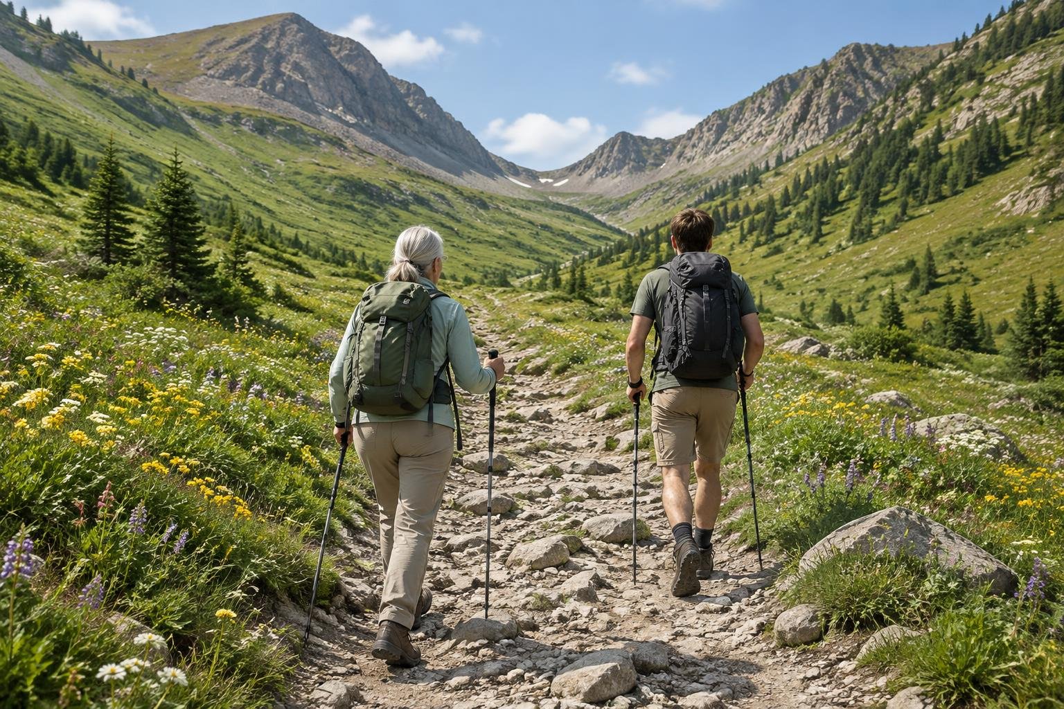
This is the official season and the relatively warmest stretch of the year, with June through September all labelled warmest. Daylight is generous, about 15.5 hours in June, 15.2 in July and 13.9 in August. Rainfall typically sits around 92 to 107 mm from June to August and eases to 77 mm in September. Summer is also when refuge demand peaks, so reservations matter as much as the weather. Book early and confirm your dates against the official TMB notices.
Autumn · mid-September to November
Late September still carries the warmest label and about 12.3 hours of daylight, with rainfall near 77 mm, the driest month of the official season. By October it is relatively warm at 91 mm of rain and 10.7 hours of daylight, then cool in November with 109 mm and 9.2 hours. Daylight shortens quickly. Because the official season ends in mid-September, check with the regional authorities and refuge associations about what is open before you commit.
Official season guidance
Regional authorities & refuge associations: Mid-June to mid-September
No trekking permit is required, but refuge reservations are effectively mandatory in summer, and wild-camping rules differ across the TMB’s three countries. As of 2026 a reroute applies in the Swiss section near Les Treutsebo, and camping and bivouacking outside official sites are not allowed along the route — check the official TMB notices. Book early.
Check current dates on autourdumontblanc.comWhat to pack for the season
Pack for the season you choose, not the average. Bring layers you can add or shed through the day, reliable rain cover for months that typically see 90 to 130 mm of rain, and sun protection for long summer days. In shoulder months, shorter daylight makes a headlamp worthwhile as a backup for early starts or late finishes.
For layering, rain cover and weather planning, see hiking in rain, heat and cold.
Timing mistakes to avoid
The biggest mistake is treating one month's average as a forecast for your dates. Another is planning around weather alone while overlooking that refuge reservations are effectively mandatory in summer, so a good-looking week can still be unbookable. Hikers also assume rules are uniform across the circuit when wild-camping rules differ by country, and camping outside official sites is not allowed. Check the official TMB notices, including the 2026 reroute in the Swiss section near Les Treutsebo.
Common questions
When is the official hiking season for this part of the Tour du Mont Blanc?
The official season guidance gives mid-June to mid-September. That window lines up with the longest daylight and the relatively warmest months in the dataset. Conditions vary by year, so confirm current dates and any closures with the regional authorities and refuge associations before you travel.
Which summer month is driest?
Within the official season, September is the driest at about 77 mm on average, compared with roughly 107 mm in June. Overall, February and April are the driest at 74 mm each, but they fall outside the season guidance. These are modelled regional averages, so treat them as a rough guide only.
How much daylight can I expect while hiking?
Daylight peaks at about 15.5 hours in June and 15.2 in July, easing to roughly 13.9 hours in August and 12.3 in September. By December it drops to around 8.5 hours. These figures are calculated for the area, and they matter most when you are planning how long each stage will take.
Do I need to book ahead for summer hiking here?
No trekking permit is required, but refuge reservations are effectively mandatory in summer, so book early. Camping and bivouacking outside official sites are not allowed along the route as of 2026. Check the official TMB notices for current rules and the reroute in the Swiss section near Les Treutsebo.
Sources
- Regional authorities & refuge associations — autourdumontblanc.com: official season and permit guidance.
- NASA POWER (Prediction Of Worldwide Energy Resources): monthly temperature and rainfall averages, 2010–2023, from MERRA-2 reanalysis. Daylight hours are calculated from latitude.
Conditions, closures and permit rules change without notice — confirm current information with the managing authority before you go. See our editorial policy and affiliate disclosure.