
Affiliate disclosure: this page contains affiliate links. Purchases made through them may earn us a commission at no extra cost to you. See our affiliate disclosure.
In plain English
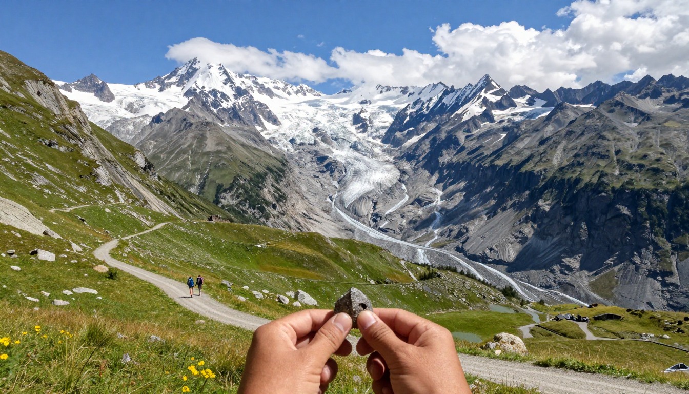
The Tour du Mont Blanc, or TMB, is a famous hike that circles Mont Blanc through France, Italy and Switzerland. This page covers one piece of it: climbing over Col de la Seigne, a high pass on the French-Italian border, and walking down through Val Veny to the Italian town of Courmayeur.
The official TMB site says the whole circuit is about 170 km and takes around 10 days, with about 60 hours of walking.1 This section is usually split over two days, sleeping in a mountain hut or guesthouse on the way.
You carry a daypack-plus rather than a full camping pack, because huts provide beds and meals. It still needs rain gear, warm layers, water, snacks and sun protection. The pass is windy and exposed, and the long walk down into Italy is what tires most people.
What the hike is like
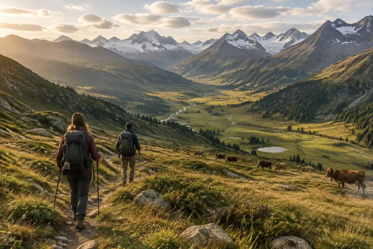
The approach to Col de la Seigne is one of the gentler big climbs on the circuit — a long, steady gain up a broad, open valley on good stony track, more of a sustained walk-up than a grind, with the pass visible well before you reach it. The col itself is a bare, windswept saddle on the border, and the change is immediate: the path tips over into Italy and begins a long descent into Val Veny beneath the massif's steep, glaciated southern flank. Below the col the valley widens into pasture and stream flats, then the route picks its way along old moraine and rubble left by the glaciers above. From there the walking splits — a high balcony path contours along the valley's shoulder toward Courmayeur, while the valley-floor alternative runs lower, easier, and closer to the road.
How to plan the itinerary
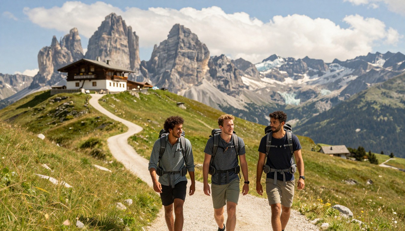
This is a single stage within a much longer circuit rather than a trip on its own, and it's usually walked as one day between refuges — the huts, spaced roughly a stage apart, do the scheduling for you. Many hikers stop at accommodation in Val Veny rather than pushing all the way through, then take the following day to reach Courmayeur, where the town's services make it a natural rest or resupply point on the circuit. The valley has bus services along its floor, so walkers who are tired, short on time, or dealing with weather commonly ride part of the way and rejoin further along. Whichever option you take, the beds are reserved well before the season rather than arranged on the day.
Plan this trip in 5 steps
-
Pick the right pack
Match a pack to your trip, fit and priorities.
-
Book a place to stay
Campgrounds, huts and lodges near Tour du Mont Blanc — Val Veny & Courmayeur.
-
Plan food & water
Calories, food weight and water for your days on trail.
Trail-specific tips
Treat the col as the crux for conditions rather than effort: it's exposed, it catches wind straight through the gap, and it can be far colder than the valley you climbed out of, so carry a wind layer within reach rather than buried. Cross it in the morning if you can, before afternoon cloud rolls up from the Italian side and takes the view with it. On the descent, the moraine sections are looser and more tiring than they look. Choose the high balcony route if legs and weather allow — see /trail-smarts/ for weather judgment. If you are walking the wider circuit, note that for 2026 the official TMB site announced a reroute in the Swiss sector near Les Treutsebo for rockfall risk, with camping and bivouacking strictly prohibited there.
Permits & rules
No trekking permit is required, but refuge reservations are effectively mandatory in summer, and wild-camping rules differ across the TMB’s three countries. As of 2026 a reroute applies in the Swiss section near Les Treutsebo, and camping and bivouacking outside official sites are not allowed along the route — check the official TMB notices. Book early.
Gear suited to this hike
Matched to the terrain and conditions here. Real products — check current price on Amazon.


Bookings, camping rules and current conditions
The official TMB site describes the circuit as 170 km over about 10 days and about 60 hours of walking across three countries, and it runs an online booking service for huts, rooms and hotels.1 It also publishes information on bivouac and wild-camping rules, including a Swiss sector where camping and bivouacking are strictly prohibited.1 Rules differ between countries and local authorities, so do not assume a tent gives you freedom to stop anywhere.
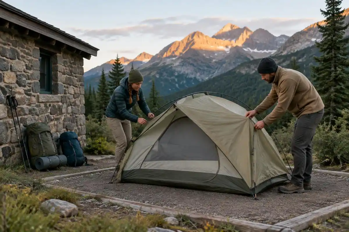
The site posts trail-condition updates too; at the time of checking it listed a route diversion in the Swiss sector because of rockfall risk.1 Checking those updates before each stage is as important as checking the weather.
Pace: what 60 hours over 170 km tells you
The official figure of about 60 hours for 170 km works out to under 3 km per hour on average, including the climbing.1 Naismith's rule, one hour per three miles plus one hour per 2,000 ft of ascent,3 gives a similar picture for this segment: the page's 33 to 39 km and 1,500 to 1,700 m of ascent come to roughly 9 to 11 hours of moving time over the two days, before breaks.
The rule does not account for descent, and the drop from the col into Val Veny is long. In a lab study, poles reduced knee compressive and shear forces by 12 to 25% walking downhill.4 That is the strongest evidence-based reason to carry them on this stage.
Weather and sun on the col
Col de la Seigne sits at 2,516 m on the page's figures, a bare, windswept saddle. NWS advises hiking early and being off exposed ground by noon because mountain thunderstorms often build in the early afternoon, and to avoid ridgetops and open ground in a storm.2 The valley-floor alternative and the Val Veny buses make a good bad-weather plan.
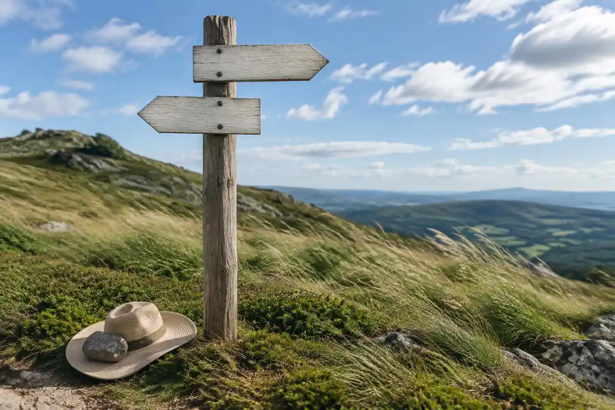
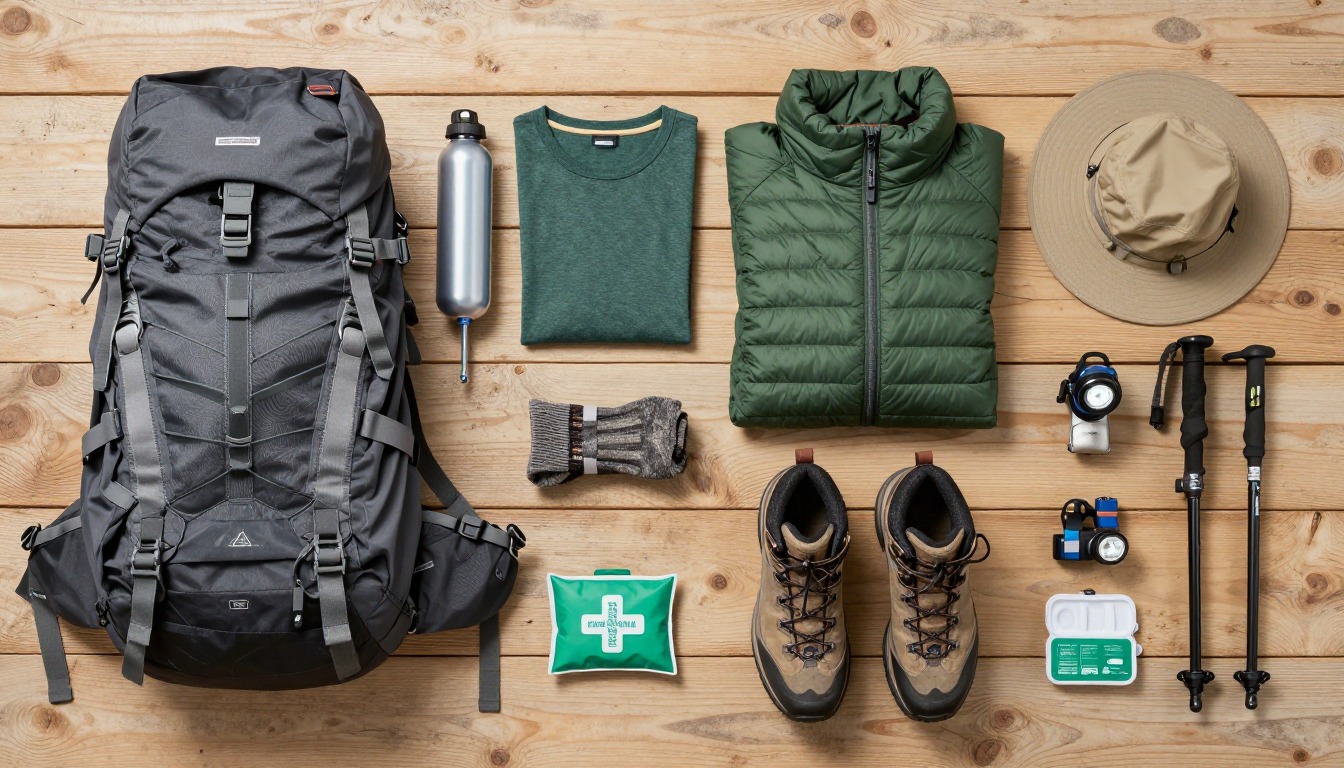
UV rises about 6% per kilometer of elevation, and overcast skies still transmit about 31% of it.5 Early-season snow patches near the col add reflection.6 A 30 to 40 liter hut-to-hut pack with a waterproof shell, insulating layer, hat and gloves, sun protection, lunch and water handles both the cold col and the warmer valley below. Layer changes on the way down keep you from sweating through clothes you will need later.
Common questions
Should I take the high route or the valley floor into Courmayeur?
The high balcony route is the better walk by a distance, contouring with the massif's Italian face across the valley from you the whole way. It costs more climbing and time. The valley floor is quicker, easier, and the sensible pick in bad weather, with poor visibility, or when you're saving legs for later stages.
How hard is the climb to Col de la Seigne?
It's a long, consistent ascent rather than a steep or technical one, on good track the whole way, which makes it one of the more approachable passes on the circuit. The difficulty is more about exposure and weather at the top than the walking itself. The descent into Italy afterwards is what most people find tiring.
Which direction do most hikers walk the Tour du Mont Blanc?
Counterclockwise is the traditional and far more common direction, which is how most hikers arrive at this pass — climbing out of France and dropping into Italy. Walking clockwise is perfectly valid and means meeting oncoming hikers all day, but accommodation staging and most published itineraries are built around the counterclockwise flow.
Can I skip part of this section by bus?
Yes, and it's common. Bus services run the Val Veny corridor and connect to Courmayeur, so hikers routinely shorten the descent or skip a stretch when weather, blisters, or schedule demand it. It's a normal part of how people hike the circuit rather than a failure, and it lets you save your walking for the passes.
Complete gearsets for this trip
Full curated kits built for exactly this kind of hike.

Trail conditions, permits and access rules change without notice — always confirm current information on the official source above before you go. Some facts on this page are still pending owner verification and are marked accordingly. Product links and the accommodation map are affiliate links: we may earn a commission at no extra cost to you; product prices and availability are shown on Amazon, and accommodation prices on the booking site. See our affiliate disclosure.