
Hikes in Spain
Hikes in Spain range from the easy-to-moderate, timed-entry Caminito del Rey walkway to the very strenuous ascent of Mount Teide. The five trails here include point-to-point and out-and-back routes, with official seasons running from spring and fall to year-round, so the right pick depends on effort, exposure and timing.
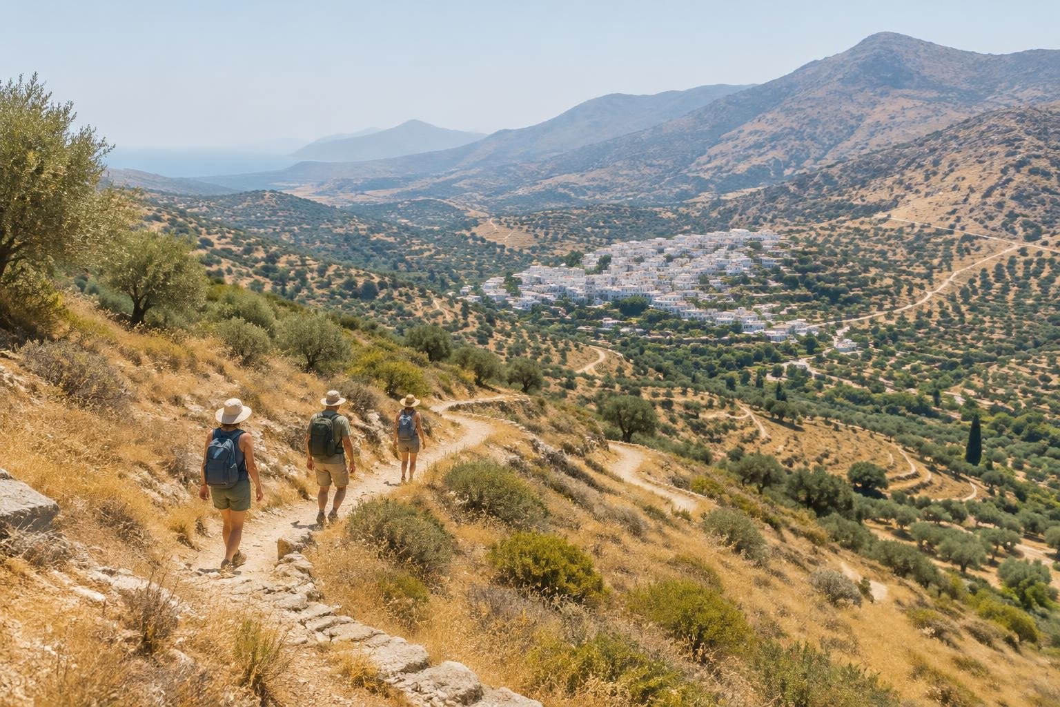
These five trails span northern Spain, Andalusia and the Canary Islands, and no two feel alike. The Camino Francés through Galicia is a point-to-point pilgrimage walk of roughly 115 km with a moderate rating. Ordesa Canyon is a 17.5 km out-and-back in the Pyrenees. The Cares Gorge in the Picos de Europa is a largely level 12 km one-way route. The Caminito del Rey is a short walkway where exposure to heights matters more than exertion. Mount Teide is an official 'highly challenging' summit climb. Together they cover gorges, mountains, pilgrimage paths and a volcano.
The routes at a glance
-
Caminito del Rey — El Chorro · Andalusia · Spain
A one-way, timed-entry walkway through the Gaitanes Gorge, with about 2.9 km of walkway plus access paths at each end. It is rated easy to moderate, and the challenge is exposure to heights rather than exertion. It suits walkers comfortable with heights who can plan around the entry system and avoid the hot summer.
- Distance
- About 2.9 km of walkway through the Gaitanes Gorge (official figure 2,955 m) plus access paths at each end; total distance depends on where you start
- Difficulty
- Easy to moderate — mainly exposure to heights on the walkway rather than exertion
- Official season
- Spring and fall; summer is very hot
-
Camino Francés — Galicia to Santiago · Green Spain · Galicia, Spain
A pilgrimage walk of about 115 km from around Sarria into Santiago de Compostela, usually split into five or six stages. It is rated moderate, with roughly 1,850 to 1,900 m of cumulative ascent overall. It suits walkers who want a multi-day point-to-point journey rather than a single outing, ideally outside the hot, busy summer.
- Distance
- ~115 km, point-to-point (pilgrimage walk from around Sarria into Santiago de Compostela); commonly cited range is 100-116 km depending on the exact start point used in/around Sarria
- Difficulty
- Moderate
- Official season
- April–June and September–October; summer is hot and busy
-
Ordesa Canyon & Monte Perdido · Pyrenees · Aragón, Spain
A 17.5 km out-and-back from Pradera de Ordesa to the Cola de Caballo waterfall, with 490 m of elevation gain. The official rating is average or moderate, and it is widely described as non-technical despite the distance. It suits hikers ready for a long day in the Pyrenees between June and October.
- Distance
- 17.5 km round trip, out-and-back (Pradera de Ordesa to the Cola de Caballo waterfall and back)
- Difficulty
- Average/moderate (official rating), and widely described as non-technical despite the distance
- Official season
- June to October
-
Cares Gorge — Picos de Europa · Picos de Europa · Northern Spain
The official PR-PNPE-3 route runs 12 km one-way from Poncebos to Cain, or about 24 km if walked out-and-back. It is rated moderate: long but largely level and non-technical, with some cliff-edge exposure. It suits hikers who want a gorge walk without sustained climbing and can handle exposed edges.
- Distance
- 12 km one-way (official PR-PNPE-3 route, Poncebos to Cain); ~24 km if walked as an out-and-back
- Difficulty
- Moderate (long, but largely level and non-technical; some cliff-edge exposure)
- Official season
- Spring to fall; it can be hot and busy in summer
-
Mount Teide · Canary Islands · Tenerife, Spain
About 8.9 km one-way from the Montana Blanca trailhead to the true summit, with roughly 1,350 to 1,400 m of climbing. Officials call it very strenuous, citing altitude and gradients up to 60% on the final stretch. It suits fit, well-prepared hikers, and many descend by cable car rather than walking back.
- Distance
- ~8.9 km one-way from the Montana Blanca trailhead to the true summit (8.2 km on trail PNT-07 Montana Blanca-La Rambleta, plus 0.69 km on trail PNT-10 Telesforo Bravo to the summit); many hikers descend by cable car rather than walking back down
- Difficulty
- Very strenuous / 'highly challenging' (official wording, citing elevation gain, altitude, and gradients up to 60% on the final Telesforo Bravo stretch)
- Official season
- Year-round; the summit is cold, with winter snow
How to choose between them
Start with effort and exposure. Mount Teide is the most demanding, with official 'highly challenging' wording, while the Caminito del Rey is easy to moderate and mostly tests comfort with heights. Ordesa Canyon and the Cares Gorge sit in the moderate range, and the Cares Gorge is described as largely level. The Camino Francés is also moderate but is a multi-day commitment of about 115 km. Next, consider route type: Caminito del Rey is timed-entry and one-way, Teide is point-to-point with a cable-car option, and Ordesa is a straightforward out-and-back. Finally, check each route's season and managing authority before you book.
When to go
Official seasons vary widely across these five trails. The Caminito del Rey is recommended for spring and fall because summer is very hot. The Camino Francés is listed for April to June and September to October, with summer hot and busy. Ordesa Canyon runs from June to October, and the Cares Gorge from spring to fall, though summer can be hot and busy. Mount Teide is the exception, listed as year-round, but the summit is cold with winter snow. Always confirm current dates and conditions with each managing authority before you go.
Common questions
Which Spanish hike here is the most demanding?
Mount Teide. Its official wording is very strenuous or highly challenging, citing about 1,350 to 1,400 m of elevation gain, altitude, and gradients up to 60% on the final Telesforo Bravo stretch. The other four trails are rated easy to moderate or moderate.
Which of these hikes are point-to-point?
The Caminito del Rey, Camino Francés, Cares Gorge and Mount Teide are point-to-point routes. The Cares Gorge and Teide are often walked or paired differently, with out-and-back or cable-car options. Ordesa Canyon is the one straightforward out-and-back, at 17.5 km round trip.
Which hike here is open year-round?
Mount Teide has a year-round official season, but the summit is cold and sees winter snow. The others have narrower windows: spring and fall for the Caminito del Rey, April to June and September to October for the Camino Francés, and June to October for Ordesa.
Which hike suits someone nervous about heights?
The Caminito del Rey is rated easy to moderate, and its challenge is exposure to heights on the walkway rather than exertion. The Cares Gorge also has some cliff-edge exposure. Hikers nervous about heights should weigh both and confirm conditions with the managing authority.
Sources
Facts come from each route's official managing authority, linked on its trail guide:
- Provincial authority (Málaga) — caminitodelrey.info (Caminito del Rey — El Chorro)
- Regional authorities & pilgrim associations — oficinadelperegrino.com (Camino Francés — Galicia to Santiago)
- Spanish National Parks Network (MITECO) — miteco.gob.es (Ordesa y Monte Perdido visitor guide) (Ordesa Canyon & Monte Perdido)
- Spanish National Parks Network (MITECO) — miteco.gob.es (Picos de Europa visitor guide) (Cares Gorge — Picos de Europa)
- Spanish National Parks Network (MITECO) — miteco.gob.es (Teide visitor rules and recommendations) (Mount Teide)
Conditions, permits and access rules change without notice — confirm current information with each managing authority before you go. See our editorial policy.