
Best Time to Hike Seceda & Alpe di Siusi — Val Gardena
The best time to hike Seceda & Alpe di Siusi is June to October, the window the official season guidance gives for these cable-car-served high-meadow walks. Those months are the warmest of the year here and have long daylight, though afternoon storms can build fast, so start early.
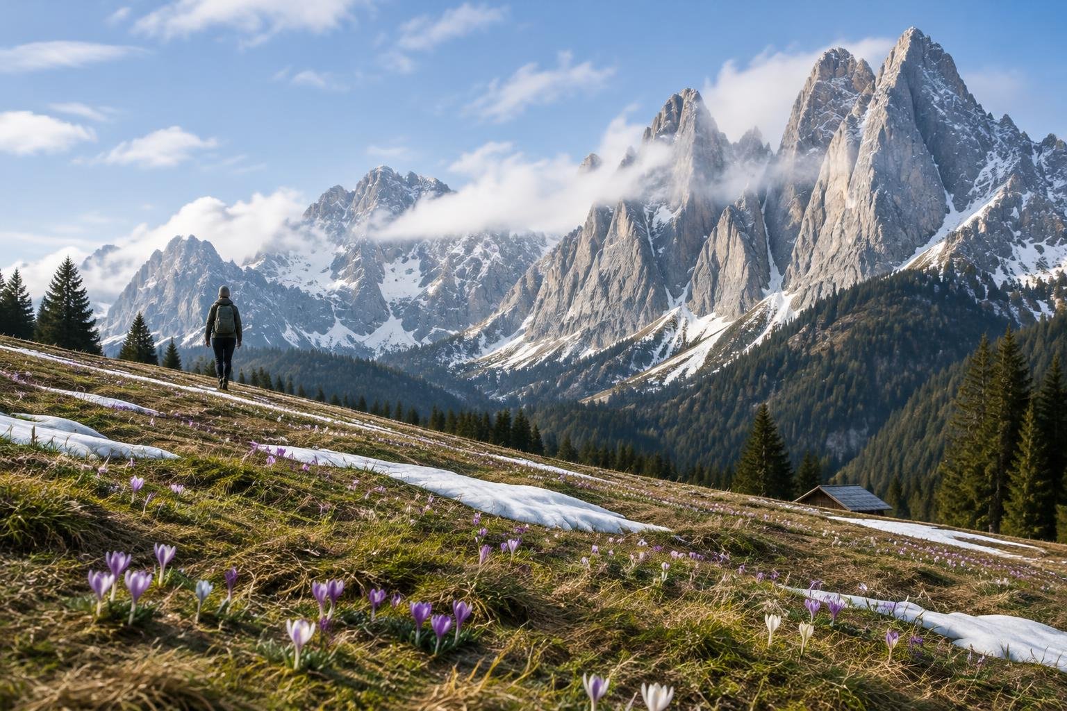
Month-by-month climate for Seceda & Alpe di Siusi — Val Gardena
| Month | Relative warmth | Rain | Daylight |
|---|---|---|---|
| Jan | Coldest | 41 mm | 8.8 h |
| Feb | Coldest | 45 mm | 10.1 h |
| Mar | Cool | 49 mm | 11.6 h |
| Apr | Mild | 72 mm | 13.3 h |
| May | Warm | 122 mm | 14.8 h |
| Jun | Warmest | 119 mm | 15.6 h |
| Jul | Warmest | 128 mm | 15.3 h |
| Aug | Warmest | 145 mm | 14 h |
| Sep | Warmest | 106 mm | 12.3 h |
| Oct | Warm | 106 mm | 10.6 h |
| Nov | Cool | 98 mm | 9.1 h |
| Dec | Coldest | 53 mm | 8.4 h |
Modelled regional averages for 2010–2023 (rainfall) and calculated daylight hours; they describe the wider area, not a reading taken on the trail. “Relative warmth” compares each month with the warmest and coldest months of this place’s own year. It is not a temperature, and the high parts of a route are colder than the region around them.
The modelled averages show a clear wet season: May through October is the rainiest stretch, with August the wettest at about 145 mm, while January and February are the driest at 41 to 45 mm. Daylight swings from roughly 8.4 hours in December to 15.6 hours in June. Warmth follows the same arc, with June to September the warmest months of this place's year and December to February the coldest. These are regional averages, not trail measurements.
Seceda & Alpe di Siusi — Val Gardena season by season
Late spring · March to May
This is the shoulder period before the official season guidance begins in June. Warmth climbs from cool in March to mild in April and warm in May, and daylight grows from about 11.6 to 14.8 hours. Rain also rises, from roughly 49 mm in March to 122 mm in May. Because the official window starts in June, check with the managing authority and local tourism offices about conditions and lift operation before planning a trip in these months.
Summer · June to August
These are the warmest months of the year here, with the longest days at 14 to 15.6 hours of daylight, which suits unhurried meadow walks. Rain is not low, though, with roughly 119 to 145 mm a month on average, and the permit and rules text warns that afternoon storms build fast. Start early, finish before the afternoon, and carry a warm, waterproof layer even on a bright morning, since the weather up top is still alpine.
Early autumn · September to October
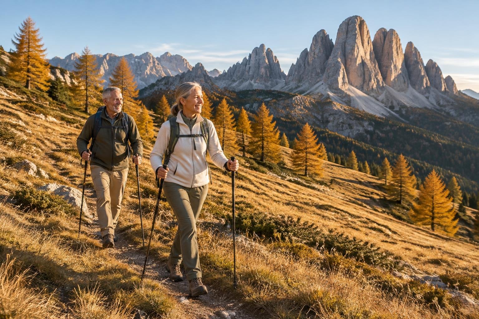
The official season guidance runs through October, and September is still among the warmest months of the year here. Rain eases a little to about 106 mm in both months, and daylight shortens from about 12.3 hours in September to 10.6 in October. With fewer hours of light, plan routes with a margin so you are not walking late, and keep a warm layer handy as October turns from warm toward cooler. Confirm lift timetables with the managing authority.
Late autumn and winter · November to February
This stretch sits outside the official June to October window. Warmth drops to cool in November and the coldest months of the year from December to February, while daylight falls to as little as 8.4 hours in December. Rain is lower in the deep winter months, about 41 to 53 mm, but that is not a sign these walks suit the season. Conditions change, so confirm with the managing authority and local tourism offices before heading up.
Official season guidance
Regional authorities & South Tyrol tourism: June to October
No permit is needed. Lifts do most of the climbing, so these are gentle high-meadow walks by Dolomite standards — but the weather up top is still alpine, and afternoon storms build fast, so start early and pack a warm, waterproof layer.
Check current dates on valgardena.it (Val Gardena tourism association)What to pack for the season
Packing here follows the season and the alpine setting. Even in the warmest months, bring a warm layer and waterproof cover because afternoon storms can build quickly. Add sun protection for open meadows, and a headlamp in autumn when daylight shortens to around 10 hours. Outside the June to October window, plan for colder, shorter days and check conditions first.
For layering, rain cover and weather planning, see hiking in rain, heat and cold.
Timing mistakes to avoid
The most common mistake is treating a clear morning as a guarantee for the whole day. The rules text notes that afternoon storms build fast, so a late start can leave you exposed high in the meadows. Another is picking a month outside the June to October window without checking lift operation and conditions with the managing authority. Finally, relying on one month's average hides that rain is heavy through summer, so build in flexibility rather than a single fixed date.
Common questions
When is the best time to hike Seceda and Alpe di Siusi?
The official season guidance gives June to October. Within that window, June to September are the warmest months of the year here, with long daylight. Rain is common across summer, so start early and carry a waterproof layer.
Which month is the wettest?
On the modelled regional averages, August is the wettest at about 145 mm, with May to October all fairly wet. January and February are the driest at roughly 41 to 45 mm. These are averages, not measurements taken on the trail itself.
How much daylight can I expect?
Daylight peaks at about 15.6 hours in June and falls to around 8.4 hours in December. By October it is about 10.6 hours, so autumn walks need earlier starts. Long summer days give a comfortable margin for unhurried meadow routes.
Is a permit needed, and does that affect timing?
No permit is needed according to the rules text. Timing still matters, because the weather up top is alpine and afternoon storms build fast. Start early, pack a warm, waterproof layer, and check lift operation and conditions with the managing authority before you go.
Sources
- Regional authorities & South Tyrol tourism — valgardena.it (Val Gardena tourism association): official season and permit guidance.
- NASA POWER (Prediction Of Worldwide Energy Resources): monthly temperature and rainfall averages, 2010–2023, from MERRA-2 reanalysis. Daylight hours are calculated from latitude.
Conditions, closures and permit rules change without notice — confirm current information with the managing authority before you go. See our editorial policy and affiliate disclosure.