
Best Time to Hike Camino Francés — the Pyrenees Start
The best time to hike the Camino Francés Pyrenees start is late spring to early fall, according to the official season guidance. Within that window, June through September are the warmest months of the local year, while the high Napoleon Route can close in winter or bad weather.
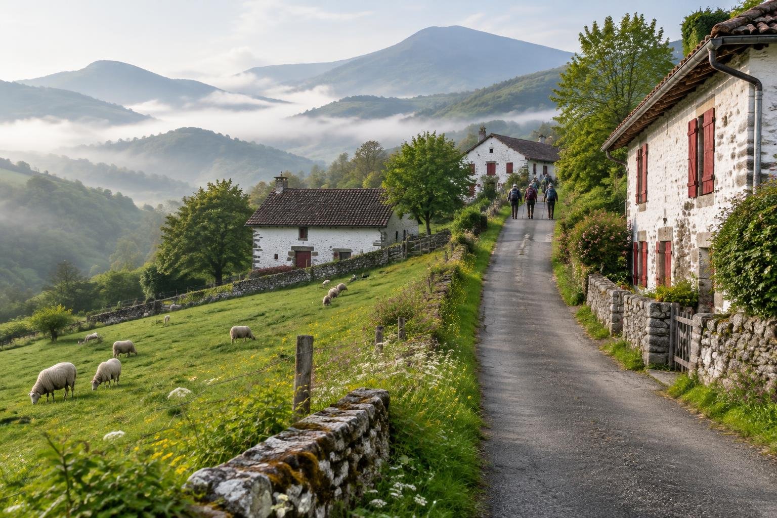
Month-by-month climate for Camino Francés — the Pyrenees Start
| Month | Relative warmth | Rain | Daylight |
|---|---|---|---|
| Jan | Coldest | 120 mm | 9.2 h |
| Feb | Coldest | 87 mm | 10.3 h |
| Mar | Coldest | 79 mm | 11.6 h |
| Apr | Cool | 81 mm | 13.2 h |
| May | Mild | 78 mm | 14.5 h |
| Jun | Warmest | 88 mm | 15.2 h |
| Jul | Warmest | 49 mm | 14.9 h |
| Aug | Warmest | 44 mm | 13.8 h |
| Sep | Warmest | 70 mm | 12.3 h |
| Oct | Mild | 79 mm | 10.8 h |
| Nov | Cool | 148 mm | 9.5 h |
| Dec | Coldest | 102 mm | 8.8 h |
Modelled regional averages for 2010–2023 (rainfall) and calculated daylight hours; they describe the wider area, not a reading taken on the trail. “Relative warmth” compares each month with the warmest and coldest months of this place’s own year. It is not a temperature, and the high parts of a route are colder than the region around them.
Modelled regional averages show a clear wet-and-dry rhythm. Rainfall is heaviest in November at about 148 mm and January at about 120 mm, and lightest in August at about 44 mm and July at about 49 mm. Daylight swings from roughly 8.8 hours in December to about 15.2 hours in June. Relative to this place's own year, June through September are the warmest months, while December through March are the coldest. These are typical regional figures, not measurements taken on the mountain itself.
Camino Francés — the Pyrenees Start season by season
Late spring · April to May
April is cool and May mild for this place's year, with rainfall typically around 78 to 81 mm a month. Daylight stretches from about 13.2 hours to about 14.5 hours, which gives a comfortable margin for the long first-day climb. This sits at the start of the official late-spring-to-early-fall window, but mountain weather can still change fast, so confirm the high route's status in St-Jean-Pied-de-Port before committing to it.
Summer · June to August
These are the warmest months of the local year, with the longest days, about 15.2 hours in June and 13.8 hours in August. Rainfall on average drops to its lowest, roughly 44 to 49 mm in July and August, though June is still around 88 mm. Summer sits squarely inside the official season guidance. Even so, the Napoleon Route is exposed and the first stage is a long, steep climb, so check local conditions rather than assuming the weather will hold.
Early fall · September to October
September is still among the warmest months of this place's year, with typical rainfall around 70 mm and about 12.3 hours of daylight. October turns mild, with rain near 79 mm and daylight down to about 10.8 hours. The official season guidance runs to early fall, so September is the safer bet and October needs more caution. Shorter days mean an earlier start matters, and the high route can still be closed in bad weather.
Late fall and winter · November to March
This is the coldest stretch of the local year, with November cool and December through March the coldest months. November and January are the wettest, at about 148 mm and 120 mm, and daylight falls to roughly 8.8 hours in December. This falls outside the official season guidance, which notes the high route can close in winter or bad weather. Check current status in St-Jean-Pied-de-Port and ask locally about the lower valley alternative.
Official season guidance
Regional authorities & pilgrim associations: Late spring to early fall; the high route can close in winter or bad weather
No permit is needed, but the high Napoleon Route over the Pyrenees is exposed and can be closed in winter or bad weather — check current status in St-Jean-Pied-de-Port and ask locally about the lower valley alternative. This first stage is deceptively hard, with a long, steep climb and fast-changing mountain weather.
Check current dates on oficinadelperegrino.comWhat to pack for the season
Pack for a long climb with changeable mountain weather. Bring layers you can add or shed as you gain height, reliable rain cover, and sun protection for the exposed high route. In the shorter-daylight months, carry a headlamp and plan an early start so you are not finishing the stage in the dark.
For layering, rain cover and weather planning, see hiking in rain, heat and cold.
Timing mistakes to avoid
The biggest mistake is treating the first stage as a simple warm-up. It is deceptively hard, with a long, steep climb and fast-changing weather. Another is picking a month from a climate average and ignoring the official season guidance, which warns the high Napoleon Route can close in winter or bad weather. Skipping a local status check in St-Jean-Pied-de-Port is risky, as is assuming no permit means no restrictions. Ask about the lower valley alternative before you set off.
Common questions
What is the best month to start the Camino Francés over the Pyrenees?
The official season guidance points to late spring to early fall. Within that range, June through September are the warmest months of the local year, and July and August are typically the driest. Check current conditions locally before you commit to the high route, since mountain weather can change quickly.
Can the Napoleon Route close, and when?
Yes. The official guidance says the high route can close in winter or bad weather. There is no set closure date supplied here, so check current status in St-Jean-Pied-de-Port and ask locally about the lower valley alternative, especially outside the late spring to early fall window.
How much daylight will I have on the first stage?
Daylight varies a lot across the year. It runs from about 8.8 hours in December to about 15.2 hours in June, with around 12.3 hours in September and 10.8 hours in October. Because the first stage is a long, steep climb, shorter days call for an earlier start.
When is it rainiest on this part of the Camino?
Modelled regional averages show November as the wettest month at about 148 mm, followed by January at about 120 mm. July and August are typically the driest, at roughly 49 mm and 44 mm. These are regional averages, not trail measurements, so conditions on the mountain can differ.
Sources
- Regional authorities & pilgrim associations — oficinadelperegrino.com: official season and permit guidance.
- NASA POWER (Prediction Of Worldwide Energy Resources): monthly temperature and rainfall averages, 2010–2023, from MERRA-2 reanalysis. Daylight hours are calculated from latitude.
Conditions, closures and permit rules change without notice — confirm current information with the managing authority before you go. See our editorial policy and affiliate disclosure.