
Affiliate disclosure: this page contains affiliate links. Purchases made through them may earn us a commission at no extra cost to you. See our affiliate disclosure.
In plain English
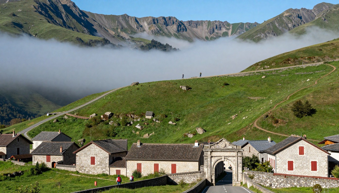
Leaving Saint-Jean-Pied-de-Port, the road tilts up almost at once and keeps going. It is a big first day for a long walk, and it is unusual because the top is open pasture with nowhere to hide from wind or cloud.
So the question is not just how fit you are. It is whether the weather lets you cross. In good conditions the ridges are broad and beautiful. In poor conditions the waymarks are sparse and visibility can drop, which is why the page says to decide before you leave town whether to take the high route or the lower valley route.
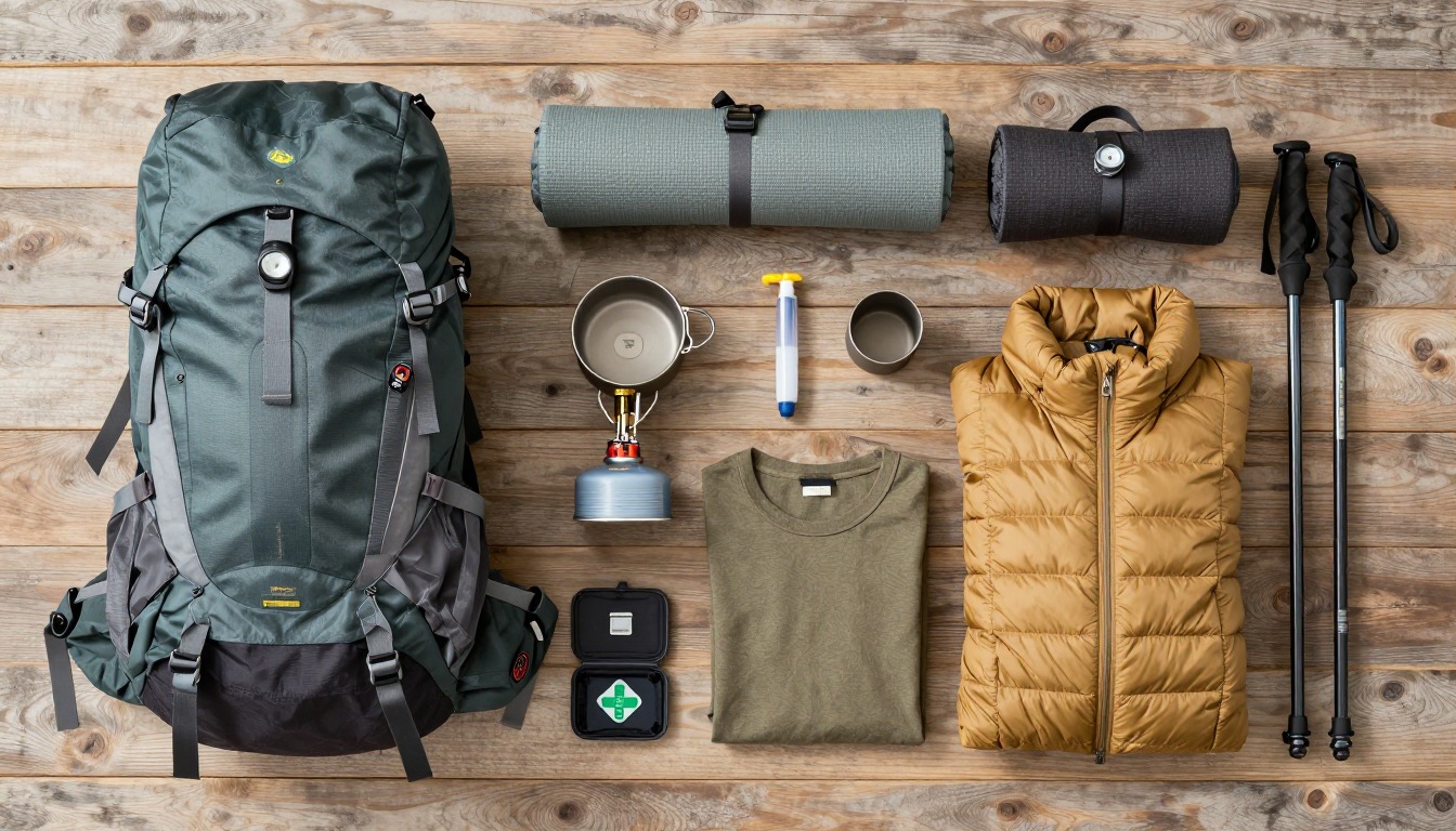
Pack for a cool, exposed day even if the valley is warm: a warm layer, a rain shell, a hat and enough water and food that a slow day is not a problem. Then leave the rest for the refuge or your next town.
What the hike is like
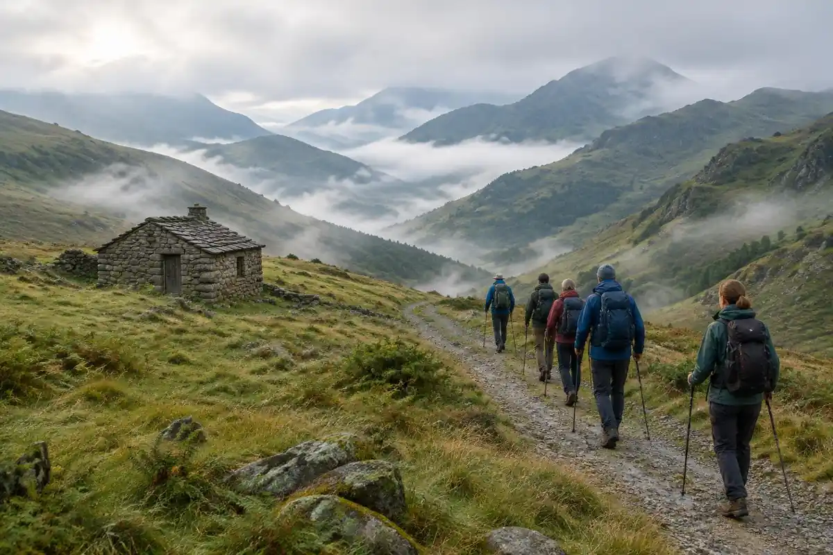
The climbing starts within minutes of leaving Saint-Jean-Pied-de-Port and barely relents. The first long stage is a narrow paved lane rising steadily past farmhouses, steep enough that conversation dies off early, before the tarmac gives way to grass and gravel track in open, treeless Pyrenean pasture. Up there the route runs along broad ridges among sheep and cattle, with wide views on a clear day and nothing at all to hide behind when the wind and cloud come in. Waymarking is sparse by Camino standards, and in poor visibility the high section demands attention. Beyond the border high point the trail drops into beech woodland, where the standard path descends sharply on roots and loose stone — steep enough that many pilgrims take the gentler forestry-track alternative down into Roncesvalles instead.
How to plan the itinerary
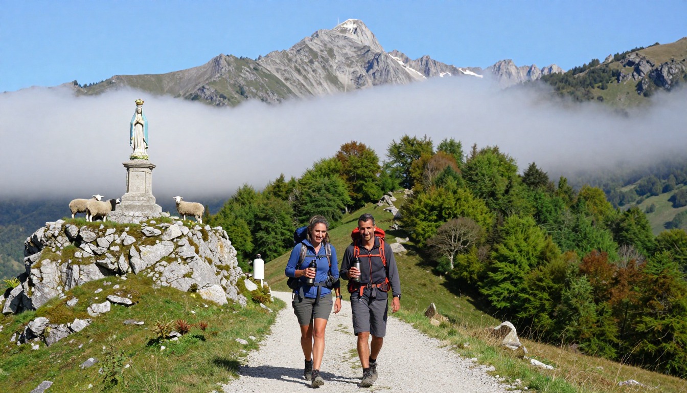
The classic approach is a single long day: sleep in Saint-Jean-Pied-de-Port, set off at first light, and cross into Spain with enough daylight in hand for the descent. That is a demanding way to open a long walk, so an increasingly common alternative is splitting the climb with a night at the small pilgrim refuge partway up the mountain — a short first day, then an easier crossing the next morning. Beds there are limited and must be arranged well ahead. In winter and in bad weather the high route is typically closed or discouraged and pilgrims are directed along the lower valley route via Valcarlos, which is longer at the start but far safer; check the current status locally. Decide before you leave town, not halfway up.
Plan this trip in 5 steps
-
Pick the right pack
Match a pack to your trip, fit and priorities.
-
Book a place to stay
Campgrounds, huts and lodges near Camino Francés — the Pyrenees Start.
-
Plan food & water
Calories, food weight and water for your days on trail.
Trail-specific tips
The common mistake is treating this as day one with a fresh-off-the-plane pack and no plan for weather. Cut your pack weight before you start climbing — this stage punishes every extra item. There is nothing to buy on the mountain once you pass the refuge, so leave town with food and full water. Weather can change fast and the high ground offers no shelter; if visibility closes in, the valley route is the sensible call rather than a defeat. Poles earn their place on the final descent. See /trail-smarts/ for navigation and layering basics.
Permits & rules
No permit is needed, but the high Napoleon Route over the Pyrenees is exposed and can be closed in winter or bad weather — check current status in St-Jean-Pied-de-Port and ask locally about the lower valley alternative. This first stage is deceptively hard, with a long, steep climb and fast-changing mountain weather.
Gear suited to this hike
Matched to the terrain and conditions here. Real products — check current price on Amazon.
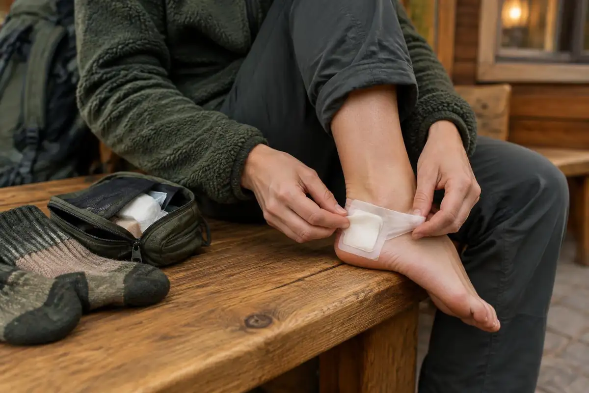

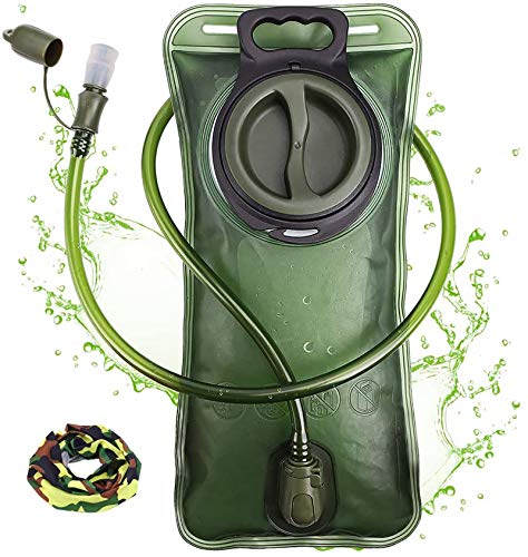


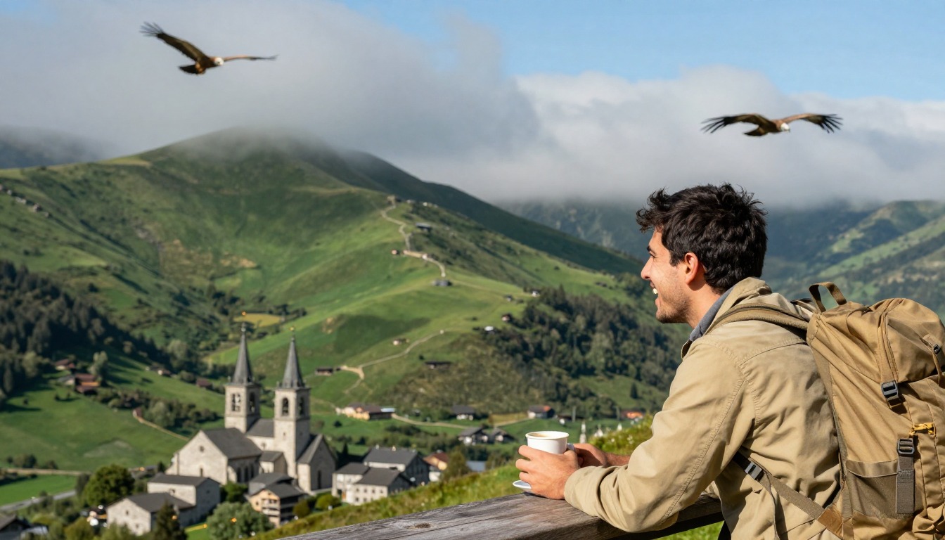
Cold, wet and windy at altitude, even in warm months
Hypothermia does not need freezing weather. The CDC notes it can develop in cool temperatures above 40 degrees Fahrenheit if a person is chilled by rain or sweat, and it lists hikers among the higher-risk groups.1 Its warning signs are shivering, exhaustion, confusion, fumbling hands, memory loss, slurred speech and drowsiness, and it is dangerous partly because the person affected may not realize it is happening.1 That matters on a climb that starts sweaty on tarmac and ends in a cold wind on open pasture.
The practical answer is layers you can add quickly at the top, before you feel cold. The three-layer system of base layer, middle layer and outer shell works because you can adjust each independently, and cotton is a poor choice because it holds moisture.2 Keep the layer you will need in the top of the pack, not buried under your sleeping kit.
Storms, exposure and the decision point
The National Weather Service says that in the mountains thunderstorms often build in the early afternoon, so hikers should be off exposed terrain by about noon, and it advises avoiding open fields, hilltops and ridge tops.3 That guidance is written for US mountains, but the logic applies to an exposed Pyrenean ridge too: an early start is a safety measure as well as a comfort one.
NPS advises setting a turnaround time and sticking to it, and planning for uphill sections to take at least double the downhill time.4 Applied here, decide on a clock time at which you stop climbing and go down, and make the route decision at the start rather than at the pass. This page notes that the high route is closed in winter and bad weather and walkers are sent lower; the closure decision is made by local authorities, so confirm current status with your accommodation and local officials before you leave town, rather than relying on this page.
The descent, credential and pack weight
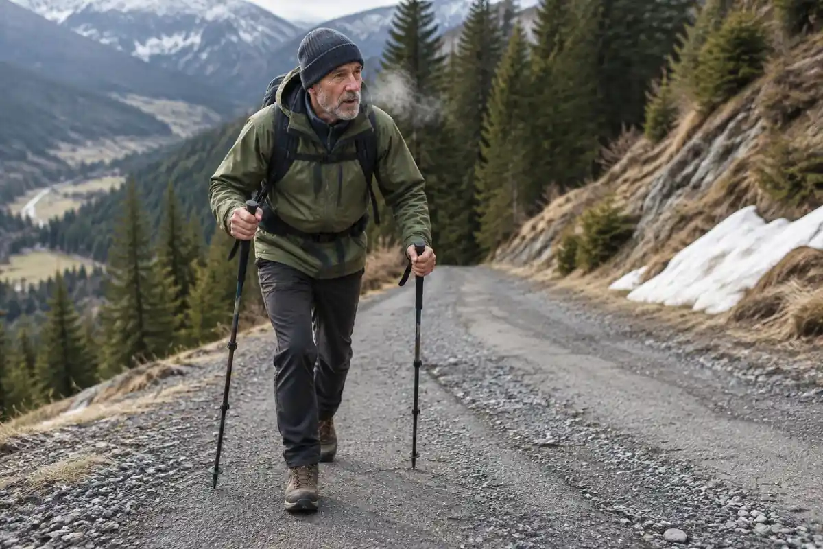
The beech-wood descent is steep, on roots and loose stone. Studies of hiking poles on a 25-degree downhill ramp found knee compressive and shear forces fell by 12 to 25 percent with poles,5 and another found poles reduced lower-limb joint moments downhill across no pack, a day-pack load and a heavier load.6 Poles are optional, but this is the descent where they earn their weight. Flying from the US, TSA says sharp-tipped poles cannot go in carry-on bags.7
The Pilgrim's Office says it issues the credential, the Compostela and a certificate of distance,8 so the credential is something to sort out around the start of the walk. Keep the pack light for the first climb: energy cost rises with load, body mass, speed and grade, so a heavy pack on a steep first day costs more than the same pack on a flat one.9 A refuge night part-way up spreads the effort, and because beds are limited, book well ahead.
Common questions
Is this really the hardest day on the Camino Francés?
For most pilgrims, yes. It combines a sustained climb, a high, exposed crossing with no towns or shelter in between, and a steep descent at the end — all on day one, before legs and feet have adapted. Later stages are longer, but none stack that much climbing and exposure into a single push.
Should I split the crossing over two days?
It is a sound choice, especially if you have arrived by a long journey or have not trained on hills. Breaking the climb with a night at the mountain refuge shortens the first day considerably and leaves the crossing itself for fresh legs. Spaces are very limited, so this only works if you arrange it well in advance.
What happens if the weather turns while I am up there?
The high route is genuinely exposed, with no shelter and limited waymarking in fog. If forecasts are poor or the route is closed, take the lower valley alternative — it follows a road corridor through villages and is the designed bad-weather option. Ask for current conditions and advice in Saint-Jean-Pied-de-Port before you set off.
Is there water and food along the way?
Not reliably. Once past the refuge partway up the climb, there is no town and no shop until the descent finishes on the Spanish side, and the water points on the mountain are intermittent and seasonal. Carry enough water for a long day in the open plus food you do not need to cook.
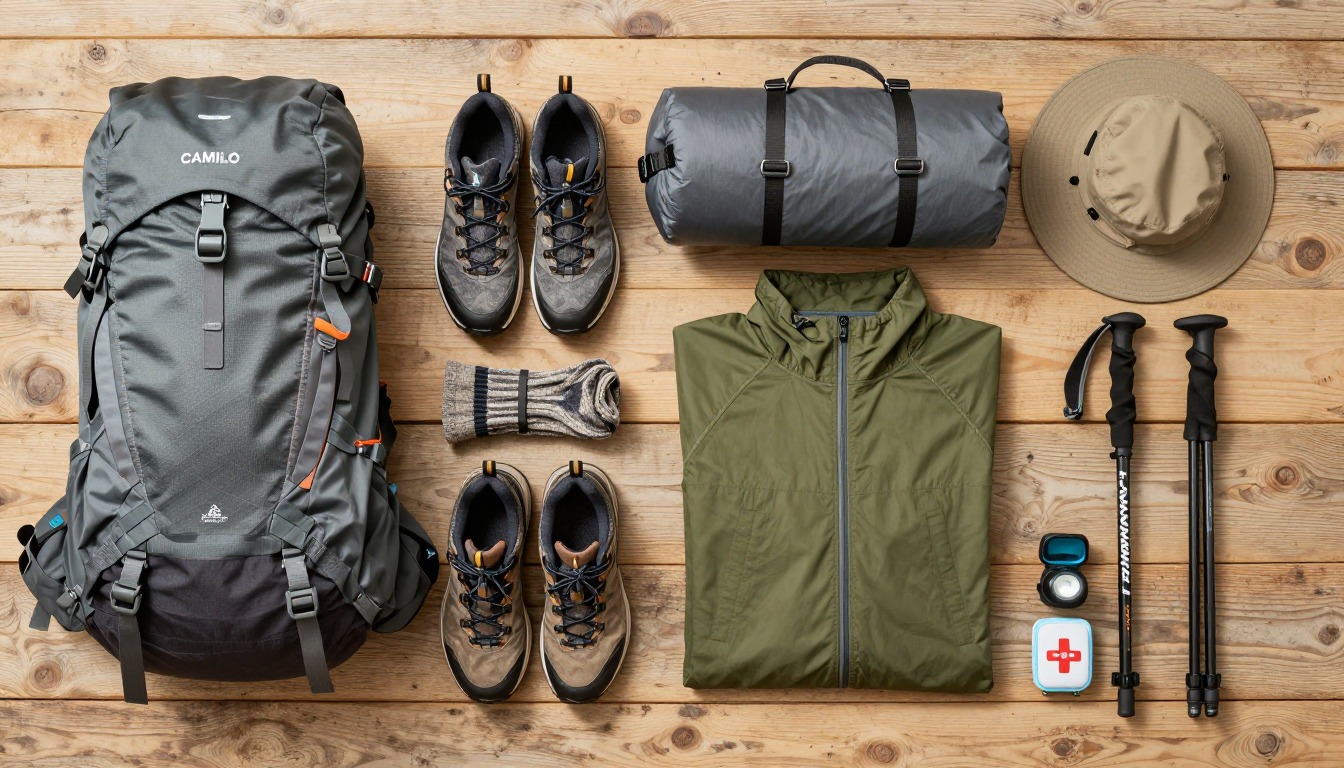
Complete gearsets for this trip
Full curated kits built for exactly this kind of hike.
Trail conditions, permits and access rules change without notice — always confirm current information on the official source above before you go. Some facts on this page are still pending owner verification and are marked accordingly. Product links and the accommodation map are affiliate links: we may earn a commission at no extra cost to you; product prices and availability are shown on Amazon, and accommodation prices on the booking site. See our affiliate disclosure.