
Affiliate disclosure: this page contains affiliate links. Purchases made through them may earn us a commission at no extra cost to you. See our affiliate disclosure.
In plain English
Alta Via 1 is a hut-to-hut hike through the Dolomites in northern Italy, famous for pale limestone towers and cliffs. Most people take about a week and a half. You sleep in rifugi, which are staffed mountain huts that serve meals, so you do not need to carry a tent or a stove.
The walking is not technical on the main route, but it goes steeply up and steeply down almost every day. A few places have a steel cable fixed to the rock to hold onto, like a handrail on a very tall staircase.
Because the huts feed you, your pack can be fairly small. What matters is rain gear, warm layers, sun protection, water and good shoes. The region's tourism site promotes trekking, via ferrata (protected climbing routes) and lift rides,2 but for hut bookings and trail conditions you need each rifugio and local sources.
What the hike is like
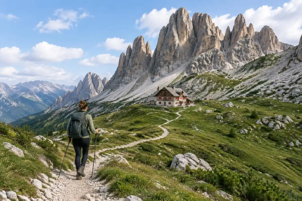
Alta Via 1 walks the seams between the Dolomites' limestone towers rather than climbing them. The standard route is a waymarked hiking trail throughout, numbered at every junction, but the ground under it changes constantly: grassy alpine bowls and pasture, rocky saddles, long traverses across pale scree beneath vertical walls, and stony switchback climbs to the day's high point before an equally long drop to the next valley. A few sections run along ledges where a cable is bolted to the rock as a handrail, and optional variants take that further into proper via ferrata terrain. The northern end feels greener and more forested; the middle stages are the ones people picture, high and rocky and enclosed by cliffs. The detour toward Tre Cime di Lavaredo crosses open plateau country with the three towers dominating the skyline.
How to plan the itinerary
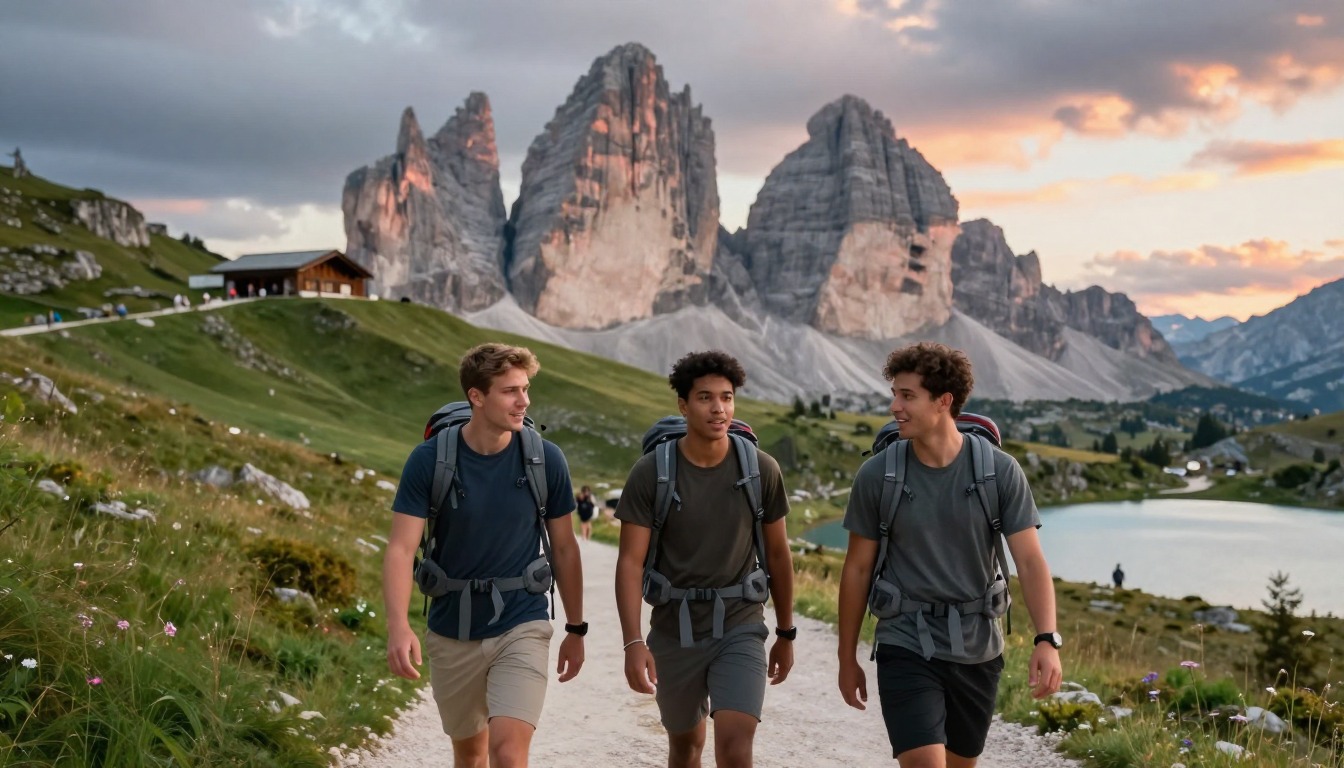
Most hikers walk the route point to point over roughly a week and a half, and the spacing of the rifugi effectively writes the itinerary — each day ends where the next bed is, and there's little room to improvise once the season fills. Stages are moderate in length but consistently steep in both directions, so plans built on flat-ground pace tend to run late. Because the trail crosses roads at several points, it's genuinely easy to hike a section rather than the whole thing, or to use a bus or lift to skip a stage that weather has spoiled. The Tre Cime detour is normally treated as an add-on day or a variant rather than something squeezed into a full walking stage.
Plan this trip in 5 steps
-
Pick the right pack
Match a pack to your trip, fit and priorities.
-
Plan food & water
Calories, food weight and water for your days on trail.
Trail-specific tips
Book the rifugi as far ahead as you can and carry cash, since mountain huts often can't take cards. Start each stage early: afternoon thunderstorms are routine in this range, and you don't want to be on an open saddle or a cabled ledge when one arrives. Scree traverses are the common source of slips, so keep your feet under you and slow down rather than skating. Poles earn their keep on the long descents. See /trail-smarts/ for storm judgment and hut etiquette.
Permits & rules
No permit is required, but rifugio reservations are effectively mandatory in summer. Some optional variants use via-ferrata protection — take the walking route unless you have the kit and skills.
Gear suited to this hike
Matched to the terrain and conditions here. Real products — check current price on Amazon.


What the official regional page does and does not cover
The regional tourism site linked from this page promotes trekking, via ferrata, lift rides and the Dolomites' UNESCO status, and offers webcams and weather.2 It does not publish Alta Via 1 stage lengths, rifugio booking rules or trail closures. Treat this page's distances as planning estimates, and confirm each night directly with the rifugio and check current trail conditions locally before each stage.
That gap matters because the page notes the rifugi spacing effectively writes your itinerary. If one hut is full or closed, the stage before and after changes too, so book the chain early and keep a copy of every confirmation offline.
Steep every day: time and knees
Naismith's rule allows an hour per three miles plus an hour per 2,000 ft of ascent.1 For the page's 75 to 78 miles and about 20,400 to 24,300 ft of gain, that is about 25 to 26 hours for distance plus 10 to 12 hours for climbing, or roughly 35 to 38 hours of moving time over about ten days, before breaks and slower going on scree. Flat-ground pace is the wrong benchmark: University of Utah researchers found a slow flat mile took about 33 minutes but a 30-degree slope about 97.1
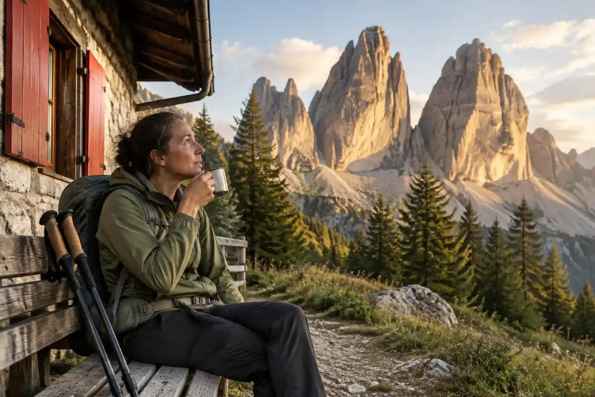
The descents are where legs give out. In a lab study, hiking poles cut knee compressive and shear forces by 12 to 25% on a steep downhill ramp.5 On flat valley sections the evidence shows little knee benefit,6 so stow them there and on cable-assisted ledges where you want a free hand.
Altitude, storms and sun in a hut-to-hut pack
CDC's Yellow Book says any unacclimatized person sleeping at 8,000 ft (about 2,440 m) or higher is at risk of altitude illness, that fitness does not protect, and that you should never go higher to sleep with symptoms.3 Check each rifugio's altitude as you plan; a headache on arrival is the main warning sign.
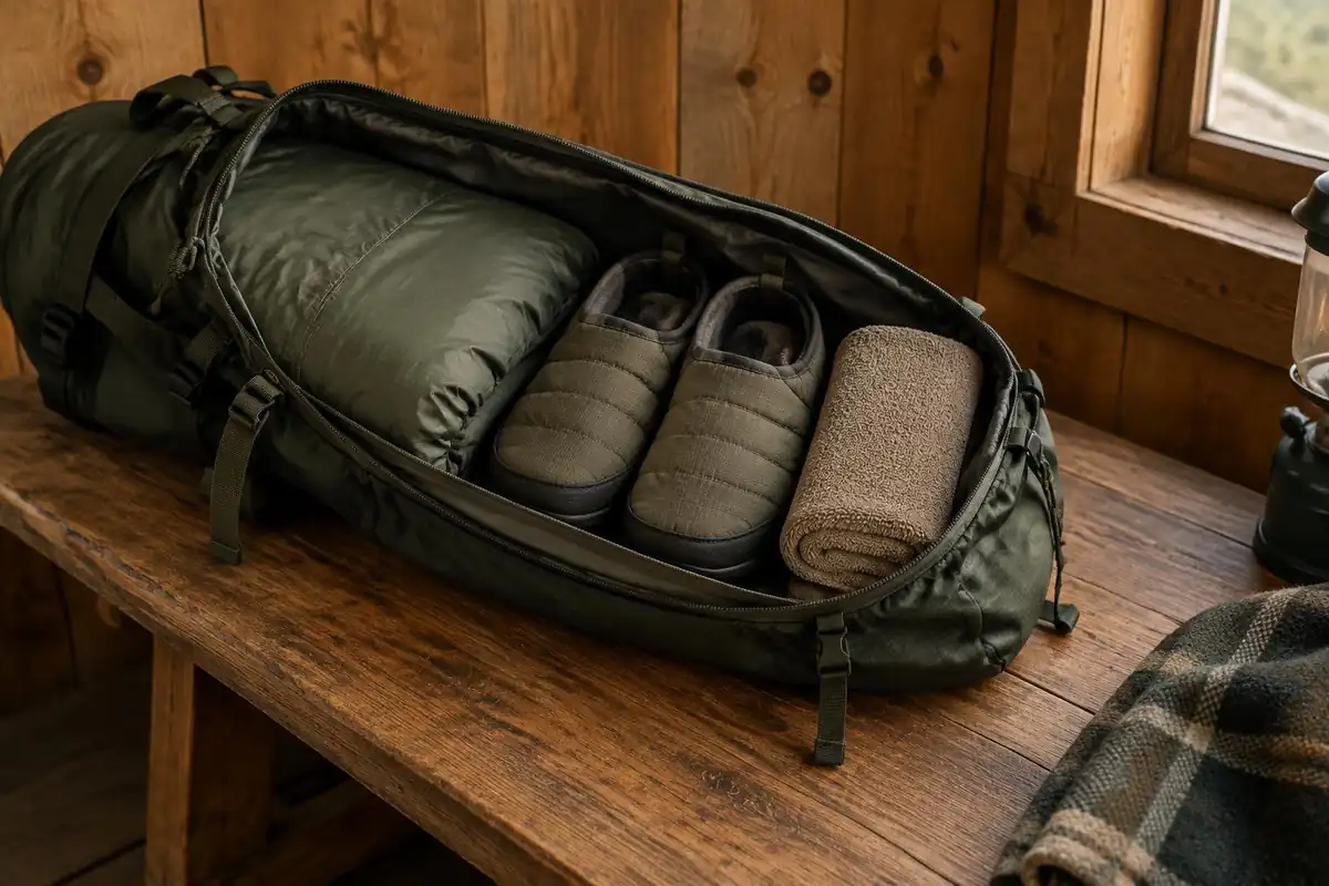
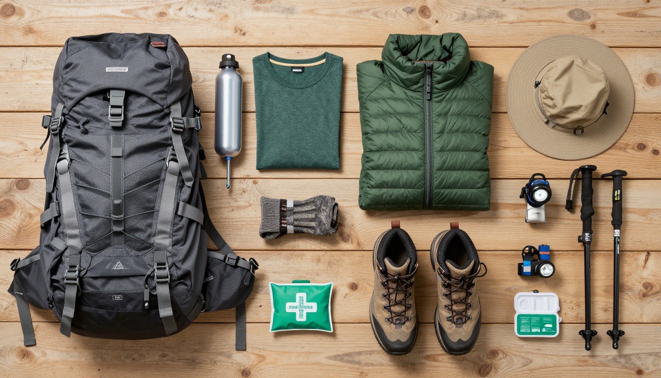
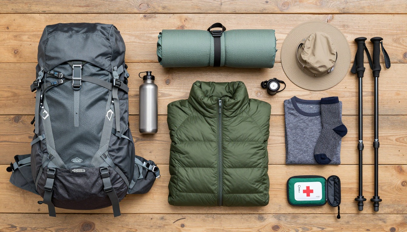
NWS says thunderstorms in the mountains often build in the early afternoon and advises being off exposed ground by noon.4 UV rises about 6% per kilometer of elevation,7 and pale rock and snow patches add reflection. A 30 to 40 liter pack with a rain shell, insulating layer, sun hat, sunscreen, first-aid kit, water and lunch covers a rifugio trip. Via ferrata variants need dedicated equipment and skills that a hiking kit does not cover.
Common questions
Can I hike just part of Alta Via 1?
Easily — it's one of the route's strengths. The trail crosses several road passes and valley heads with bus links, so you can start and finish at intermediate points and walk a few days instead of the whole traverse. Many hikers pick the middle high stages, which deliver the most dramatic limestone scenery for the fewest days.
How hard are the daily stages?
They're moderate in distance but honest in climbing, with steep ascents and equally steep descents nearly every day. The cumulative effect over consecutive days is what people underestimate. No technical skill is needed on the standard route, but you should be comfortable on rocky, uneven ground and with a few cable-assisted sections.
Is the Tre Cime detour worth the extra effort?
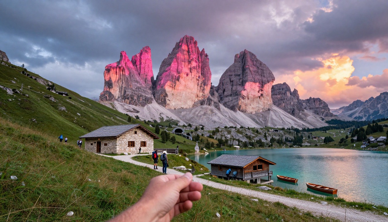
For most hikers, yes — the three towers are the image that defines the Dolomites, and the plateau around them offers a very different kind of walking from the enclosed valleys. It does cost you time and legs, and the area is far busier than the rest of the route because of road access nearby, so plan for company.
What footwear suits this route?
Proper hiking boots with stiff-ish soles and good grip are the standard choice, because you spend a lot of the trip on loose scree and rocky steps rather than soft trail. Broken-in is more important than new. Whatever you wear, expect to want ankle stability on the traverses and something you can descend in day after day.
Complete gearsets for this trip
Full curated kits built for exactly this kind of hike.

Trail conditions, permits and access rules change without notice — always confirm current information on the official source above before you go. Some facts on this page are still pending owner verification and are marked accordingly. Product links and the accommodation map are affiliate links: we may earn a commission at no extra cost to you; product prices and availability are shown on Amazon, and accommodation prices on the booking site. See our affiliate disclosure.