
Affiliate disclosure: this page contains affiliate links. Purchases made through them may earn us a commission at no extra cost to you. See our affiliate disclosure.
In plain English
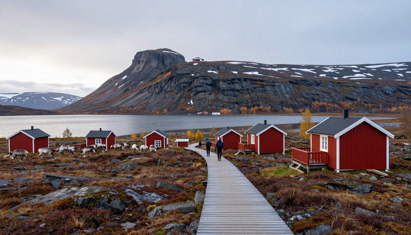
Kungsleden, the King's Trail, is a long path through the mountains of northern Sweden, above the Arctic Circle. The stretch from Abisko to the area around Kebnekaise, Sweden's highest mountain, takes most people about a week. There are mountain huts roughly a day's walk apart, so each day you walk from one hut to the next, a bit like stepping stones across a river.
You don't need a permit, and Sweden's public access tradition lets you camp responsibly if you'd rather use a tent. Much of the path is on wooden boardwalks over wet ground, with rocky bits in between, and some lakes are crossed in rowboats you row yourself.
In midsummer the sun barely sets, so it's easy to lose track of time. Weather can turn cold and wet quickly. Pack warm layers, rain gear and enough food for the gaps between hut shops, which only sell basics.
What the hike is like
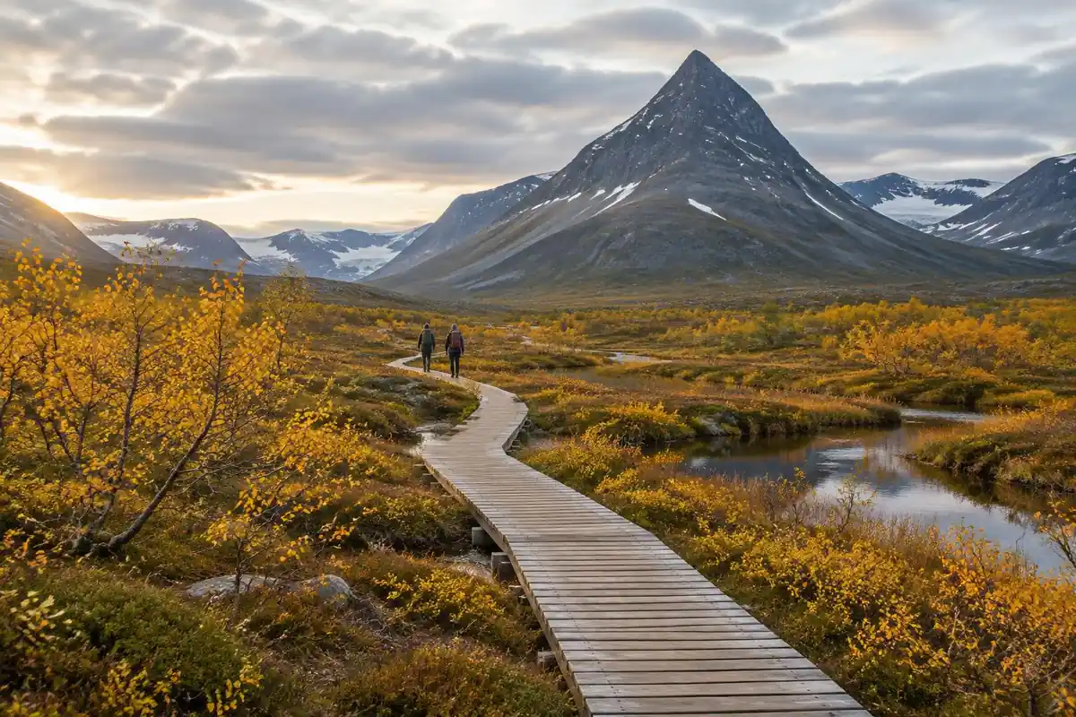
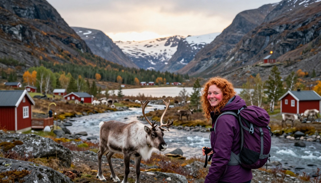
The walking out of Abisko starts in birch forest and climbs steadily out of the trees, after which the route spends most of its time on open Arctic fell — a mix of rocky trail, gravel, tundra and long runs of raised wooden boardwalk laid across ground too wet to walk on otherwise. Those boardwalks are a defining feature of the northern Kungsleden and make for fast, oddly rhythmic progress; the sections between them are rougher, with loose stone and braided meltwater channels. Rivers are handled variously by bridges, by fording where the water is shallow, and at certain lakes by rowboats that hikers row themselves across. The route threads valleys between high fells, with cairns and painted markers making navigation straightforward in clear weather and considerably less so when cloud drops onto the plateau.
How to plan the itinerary
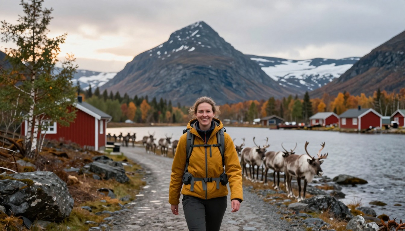
This stretch is walked over several days, and the mountain huts spaced roughly a day's walk apart effectively write the itinerary for you — each day runs hut to hut, with the option of camping nearby instead. The standard direction is southbound from Abisko, finishing at the mountain station beneath Kebnekaise and walking out from there to a road end where bus transport connects back toward Kiruna. Many hikers build in an extra day at that end to attempt Sweden's highest summit before leaving, weather permitting. Camping alongside the huts gives flexibility to stop short or push on when the weather cooperates, and some hikers mix the two, taking a bed and a sauna every few nights. Building a spare day into the schedule is wise, since Arctic weather regularly forces a pause.
Plan this trip in 5 steps
-
Pick the right pack
Match a pack to your trip, fit and priorities.
-
Book a place to stay
Campgrounds, huts and lodges near Kungsleden — Abisko to Kebnekaise.
-
Plan food & water
Calories, food weight and water for your days on trail.
Trail-specific tips
Pace your days around the hut spacing rather than your own maximum mileage — stretching two stages into one leaves no bail-out if the weather turns. River levels rise noticeably after heavy rain, so a ford that looked trivial yesterday may not be today. Mosquitoes can be genuinely relentless in midsummer; a head net weighs almost nothing. Hut shops carry basics only, so plan food around resupply being limited rather than absent. Near-constant daylight in midsummer makes it easy to lose track of time. General cold-weather and navigation practice is covered on /trail-smarts/.
Permits & rules
No permit is needed, and Sweden’s right of public access allows responsible wild camping. This is a remote Arctic route with river crossings and fast weather — carry proper gear and check hut opening dates.
Gear suited to this hike
Matched to the terrain and conditions here. Real products — check current price on Amazon.


Huts, stations and what STF actually offers
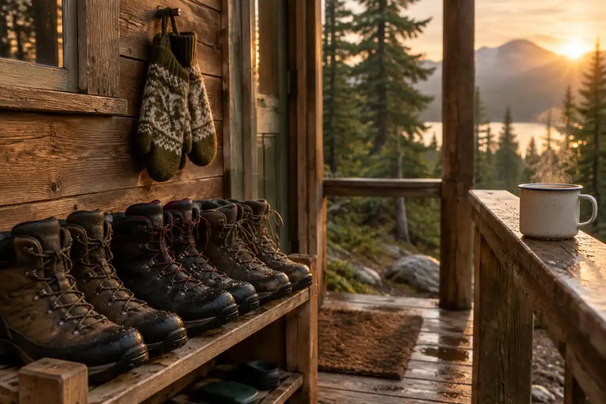
The Swedish Tourist Association (STF) lists three main accommodation types, including mountain cabins and mountain stations, says it has more than 200 places to stay across Sweden, and gives members discounted rates at all its accommodation.1 On this route that distinction matters: a mountain station is a larger base, while the cabins between them are simpler. STF also publishes a guide to allemansrätten, Sweden's right of public access, which is the basis for camping near the trail.1
For Kebnekaise itself, STF states that from summer 2025 it guides all summit tours to both the southern and northern peaks via the Western Route instead of the traditional Eastern Route.1 Many older guidebooks and blog posts describe the Eastern Route, so check current information at the mountain station rather than relying on an old write-up.
One inconsistency on this page is worth flagging: the itinerary says the standard walk finishes at the mountain station below Kebnekaise and walks out to the road, while the trail facts describe the station as an extra side trip. Confirm the exact routing and distances with STF before you plan your food.
Carrying a week in the Arctic
The Washington Trails Association suggests 50–70 L for trips of three to seven nights.2 A hut-based walker carrying no tent or stove can often drop toward the lower end; a camper carrying shelter, cooking kit and food between limited hut shops needs the upper end. Base weight, meaning everything except food, water and fuel, is the number to watch; Gossamer Gear calls under 20 lb 'lightweight'.5
Every kilogram costs energy over a week. In a lab study, energy use rose roughly in a straight line with load, about 7.6 watts per extra kilogram.6 Pack heavy food bags high and close to your back and light, bulky items at the bottom.7
Cold water, fords and camp safety
River levels change with rain and snowmelt. NIOSH notes that immersion hypothermia develops faster than standard hypothermia and can occur in any water below 70°F, and that wet feet lose heat about 25 times faster than dry feet.3 Changing into dry socks after a ford and keeping a dry set for camp is simple protection. If a crossing looks stronger than expected, wait or turn back.
Clear, cold streams are tempting, but CDC says water from even a clear mountain stream can contain germs and is generally not safe to drink untreated.4 Campers should cook outside the tent; CDC's investigation of camping deaths found opening tent flaps does not prevent dangerous carbon monoxide build-up.8
Common questions
Do I need a tent, or can I rely on the huts?
The huts make a tent optional, but carrying one adds real security in a place where weather can pin you down. Beds are finite and the season is short, so a tent means you are never dependent on space being available. Many hikers carry one and use it selectively, taking a hut bed when they want a sauna and a dry night.
How fit do I need to be for this section?
It suits walkers comfortable with consecutive days of moderate distance carrying a multi-day pack. The terrain is rarely steep, and the boardwalk sections are easy going, but the ground between them is rough and the days are long. Cumulative fatigue and weather, rather than any single hard climb, are what make this stretch demanding.
Can I climb Kebnekaise as part of the trip?
Plenty of hikers do, usually adding a day at the mountain station end to attempt the summit before walking out. It is a serious mountain day in its own right — weather-dependent and a different proposition from the trail itself — so treat it as a separate undertaking rather than a detour. STF now guides summit tours by the Western Route instead of the traditional Eastern Route, so older route descriptions may be out of date; check current conditions and route information at the mountain station.
How do the river and lake crossings work?
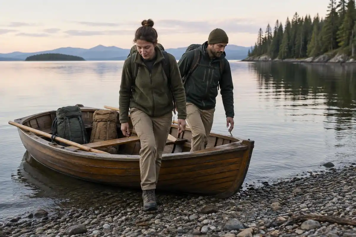
Most watercourses are bridged, some shallow ones are forded on foot, and at certain lakes there are rowboats that hikers row across themselves, returning them so a boat stays available on each shore. Water levels vary with rain and snowmelt, so a crossing's difficulty is not fixed. Never force a ford that looks stronger than you expected.
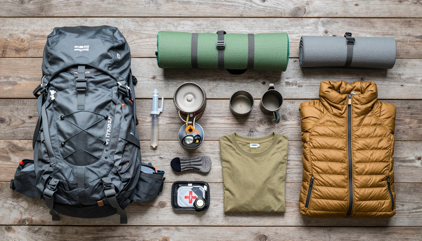
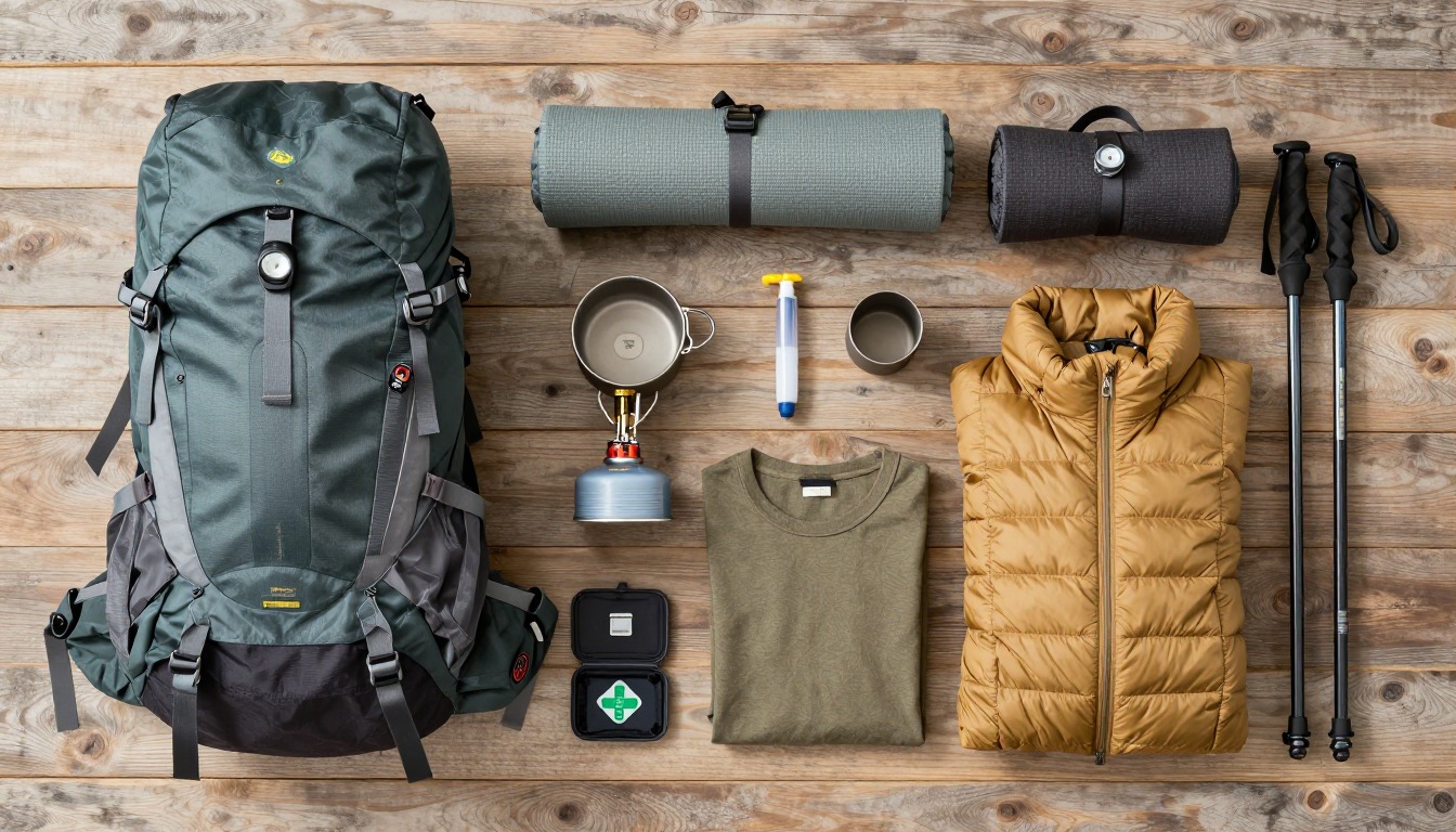
Complete gearsets for this trip
Full curated kits built for exactly this kind of hike.

Trail conditions, permits and access rules change without notice — always confirm current information on the official source above before you go. Some facts on this page are still pending owner verification and are marked accordingly. Product links and the accommodation map are affiliate links: we may earn a commission at no extra cost to you; product prices and availability are shown on Amazon, and accommodation prices on the booking site. See our affiliate disclosure.