
Affiliate disclosure: this page contains affiliate links. Purchases made through them may earn us a commission at no extra cost to you. See our affiliate disclosure.
In plain English
The John Muir Trail is a 211-mile walk through California's Sierra Nevada mountains, from Yosemite Valley to the top of Mount Whitney.1 Most people take around three weeks, crossing a long series of high mountain passes and camping every night.
Getting a permit is the first hurdle. It comes from Yosemite, and there are strict limits on how many people can start each day, so many hikers apply months ahead.1
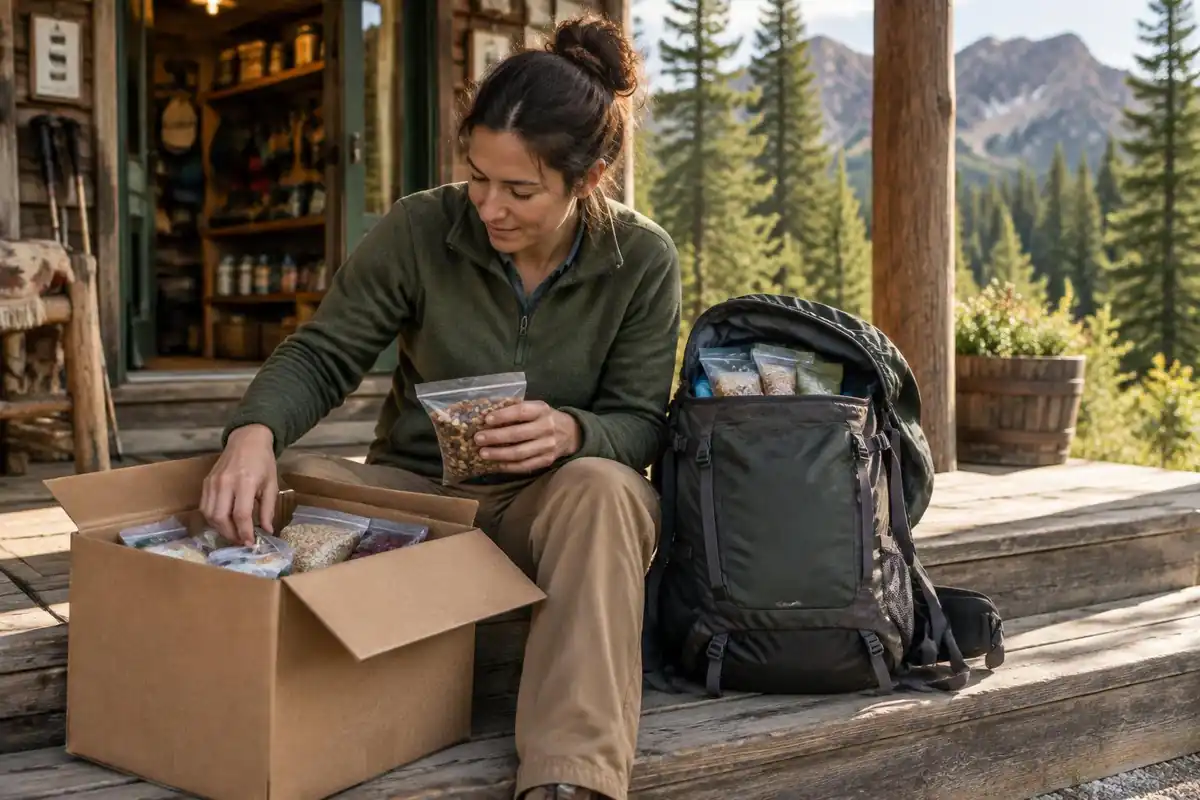
Food is the second big planning job. In Yosemite, and in parts of the parks farther south, you must keep your food in a hard bear-proof container, a sturdy plastic can that bears cannot open.1 It only holds several days of food, so hikers mail food boxes to places along the way or buy supplies there. Plan to cross passes in the morning, walk slowly in the first week and let your body get used to the height.
What the hike is like
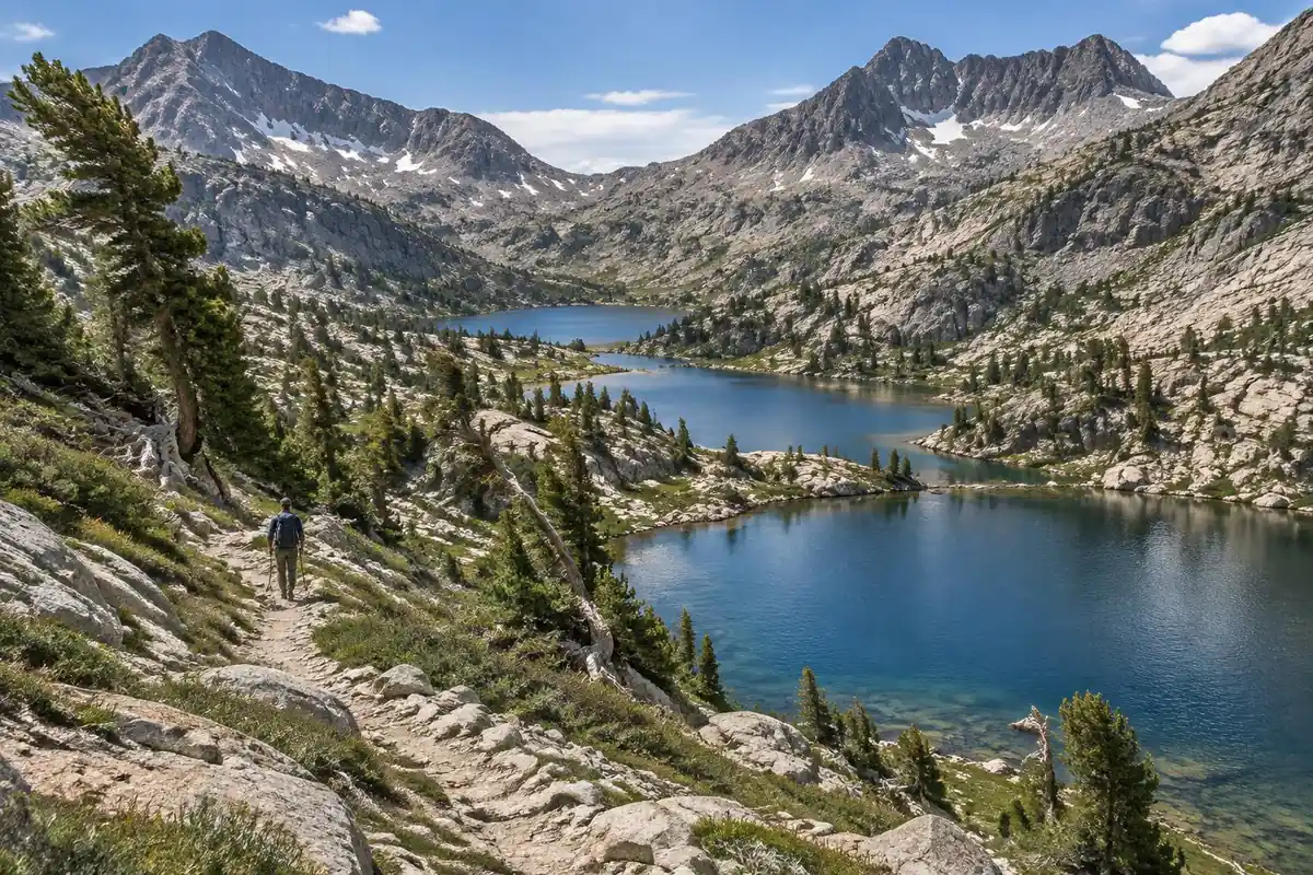
The JMT is a long series of passes, and once you understand that, the whole trail makes sense. The shape repeats for weeks: a climb from a forested or lake-filled basin up a switchbacking granite staircase to a rocky notch on a ridge, a cold, windy few minutes on top, then a long descent into the next basin to water and camp. The tread itself is excellent — decomposed granite, well-graded and sustainably built, with stock-standard switchbacks rather than brutal direct lines — so the difficulty is volume, not technicality. Early on, the long flat meadow walk up Lyell Canyon lulls you before the climbing begins in earnest. Later stretches like Evolution Basin string alpine lakes together above treeline, and the trail's final camp at Guitar Lake sits directly beneath the last climb.
How to plan the itinerary
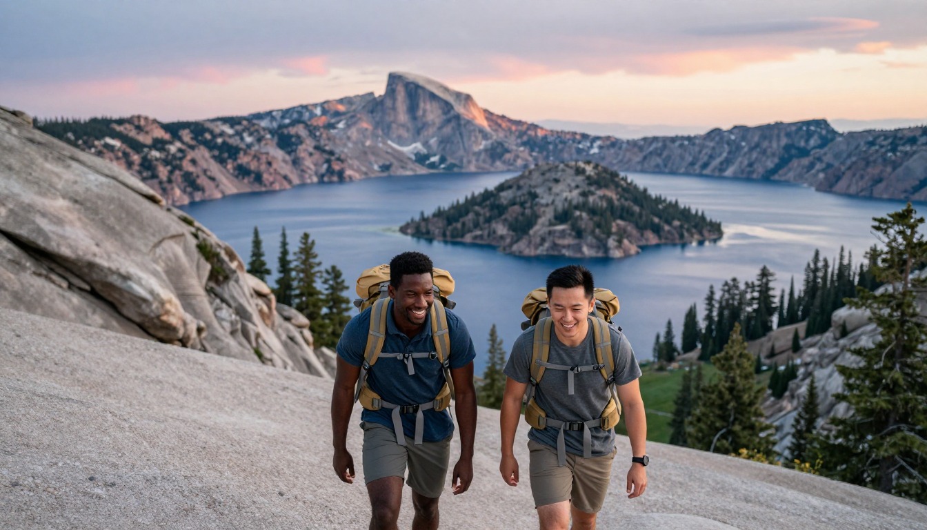
Most hikers walk it southbound from Yosemite over roughly three weeks, finishing on the summit at the southern end, though the pace varies enormously with fitness and resupply strategy. The common structure is roughly a pass a day once you're into the high country, camping in the basin below the next climb so you cross in the morning when the weather is most settled. Front-load conservatively — the first week at altitude is where over-ambitious schedules unravel — and plan your resupply stages around what a bear canister will actually hold rather than around how far you'd like to walk. Food-storage rules vary along the route: Yosemite requires approved canisters throughout the park and does not allow hanging food, Sequoia and Kings Canyon require containers in named areas from May 1 to October 31, and Inyo National Forest has year-round food-storage rules, so a canister is the practical choice for most of the trail. The southern end deserves its own thinking: the last stage climbs from the trail's final camp to the summit and then descends a different trail entirely, so arrange your exit transport before you start walking.
Plan this trip in 5 steps
-
Pick the right pack
Match a pack to your trip, fit and priorities.
-
Plan food & water
Calories, food weight and water for your days on trail.
-
Estimate your time
Pre-filled with this trail’s distance and climb — adjust for your pace.
Trail-specific tips
Cross the passes in the morning. Afternoon thunderstorms build over the high Sierra with real regularity in summer, and being on a bare rock notch when one arrives is the situation to design your days around. Camp below the climb rather than pushing over it at the end of the day. Pace week one well under your capability; altitude and consecutive days catch people who started strong. And let canister volume, not appetite, set your food plan — the resupply points are few enough that guessing wrong is a real problem. General storm and altitude judgment is on /trail-smarts/.
Permits & rules
A JMT wilderness permit is highly competitive and tied to your start trailhead and date, released via a rolling lottery. Bear-resistant canisters are required along most of the route.
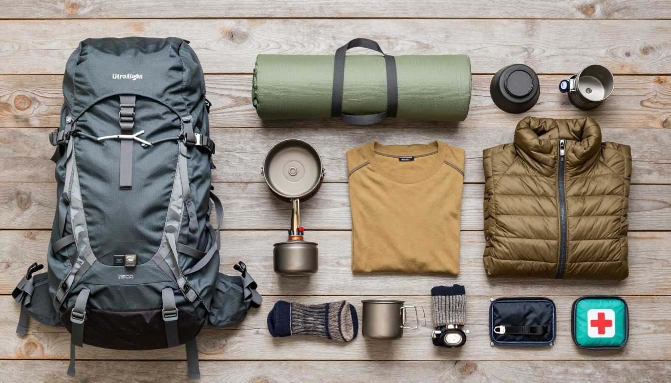
Gear suited to this hike
Matched to the terrain and conditions here. Real products — check current price on Amazon.


How the Yosemite permit and Donohue Pass quota work
Yosemite's JMT page says hikers walking the trail continuously need only one wilderness permit from Yosemite for the entire trip.1 Only two Yosemite trailheads give access to the full JMT beyond the park: Happy Isles to Past Little Yosemite Valley and Lyell Canyon, both Donohue Pass eligible.1 The real bottleneck is the exit: Yosemite limits hikers leaving the wilderness over Donohue Pass to 45 a day, 15 on Happy Isles permits and 30 on Lyell Canyon permits.1
Those permits go through Yosemite's wilderness lottery, which opens 24 weeks ahead on Recreation.gov, with 60% of reservations available then and 40% one week ahead.4 A fee applies; check the official page for the current amount. Some guides suggest northbound entries can be easier to secure; the official sources do not address that, so treat it as anecdotal and plan around the Donohue Pass quota instead.
Food storage is a patchwork, not one rule
Some guides say canisters are mandatory for the full route. The official picture is more mixed. Yosemite requires allowed canisters throughout the park and does not permit hanging food anywhere.1 In Sequoia and Kings Canyon, containers are required from May 1 to October 31 in named areas, including Dusy Basin and the Rae Lakes Loop, and highly recommended throughout both parks.2 In Inyo National Forest wilderness, food-storage rules apply year-round, with counterbalance hanging allowed only where canisters are not mandatory.5
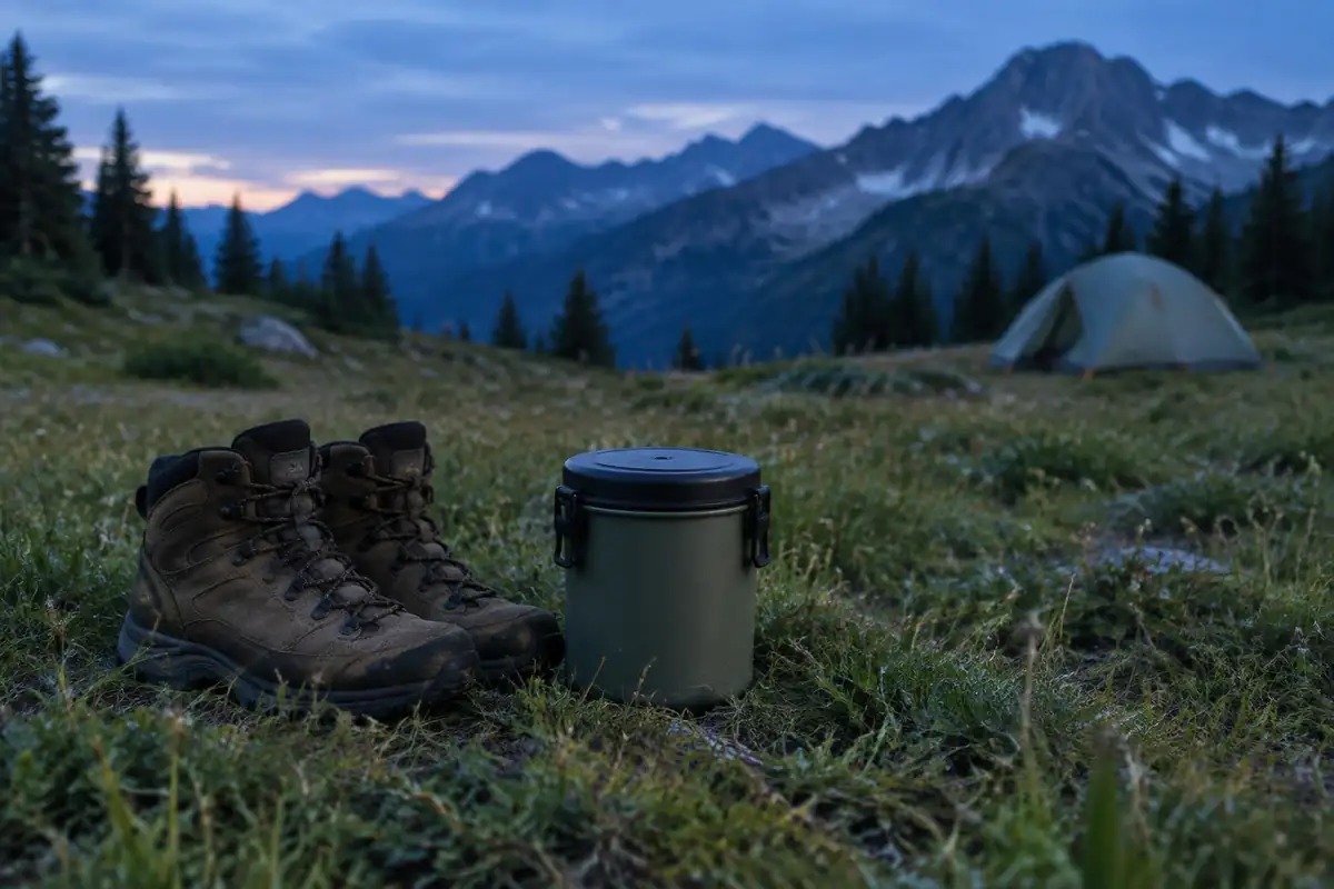
In practice most JMT hikers carry a canister the whole way, because Yosemite requires one and above treeline there is nothing to hang from. The distinction still matters: it is a practical choice across much of the route, not a single trail-wide rule.
Canister volume, resupply and altitude
A canister's volume, not appetite, sets the longest stretch between resupplies. Glacier Bay's 560-cubic-inch loaner holds about six days of food for one person, and New York's DEC says typical canisters hold up to five days.3,6 Yosemite notes that post offices accept food packages sent care of General Delivery, and that food and camping supplies can be bought in Yosemite Valley and Tuolumne Meadows.1
Altitude is a constant background factor. The CDC says fitness does not protect against altitude illness and advises that above about 9,850 ft, sleeping altitude should rise no more than about 1,600 ft a day.7 Afternoon storms are the other daily pattern: the National Weather Service notes that mountain thunderstorms often build in the early afternoon, which supports crossing passes in the morning.8
Common questions
How long does the JMT usually take?
Roughly three weeks is the common range for hikers walking at a steady, enjoyable pace with rest and resupply days built in. Very fit, lightly loaded hikers go faster; people carrying heavier packs or stopping to fish, swim and photograph take longer. Your permit's start date and your resupply logistics shape the schedule as much as your legs do.
Should I hike southbound or northbound?
Southbound from the northern end is the traditional and more popular direction, and it eases you into altitude gradually before the highest country. The bigger planning constraint than direction is the permit quota: Yosemite lets only 45 hikers a day exit over Donohue Pass (15 on Happy Isles permits, 30 on Lyell Canyon permits), so flexible start dates matter more than which way you walk.
How hard is the altitude on this trail?
The trail spends most of its length high, and crosses a long series of passes higher still, so altitude is a constant background factor rather than a single event. Hikers who start slowly and gain height gradually generally adapt well over the first week. How your own body responds is a question for you and a doctor before you go.
What's the hardest part of the trail?
Not any single pass — it's the accumulation. Climbing and descending thousands of feet daily for weeks, on limited food, at altitude, with a pack that's heaviest right after every resupply. Most people find the second week harder than the first, and the trail becomes noticeably easier once their body adapts and their pack weight settles.
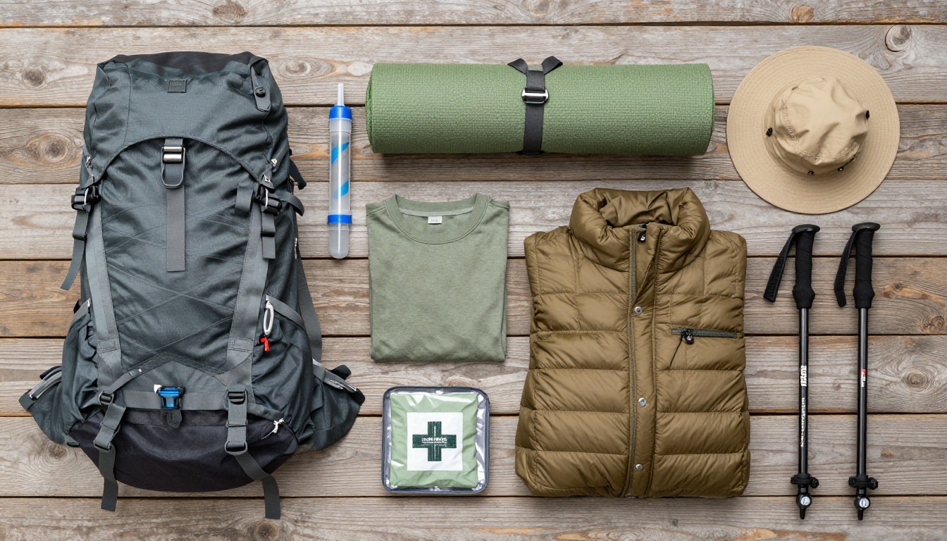
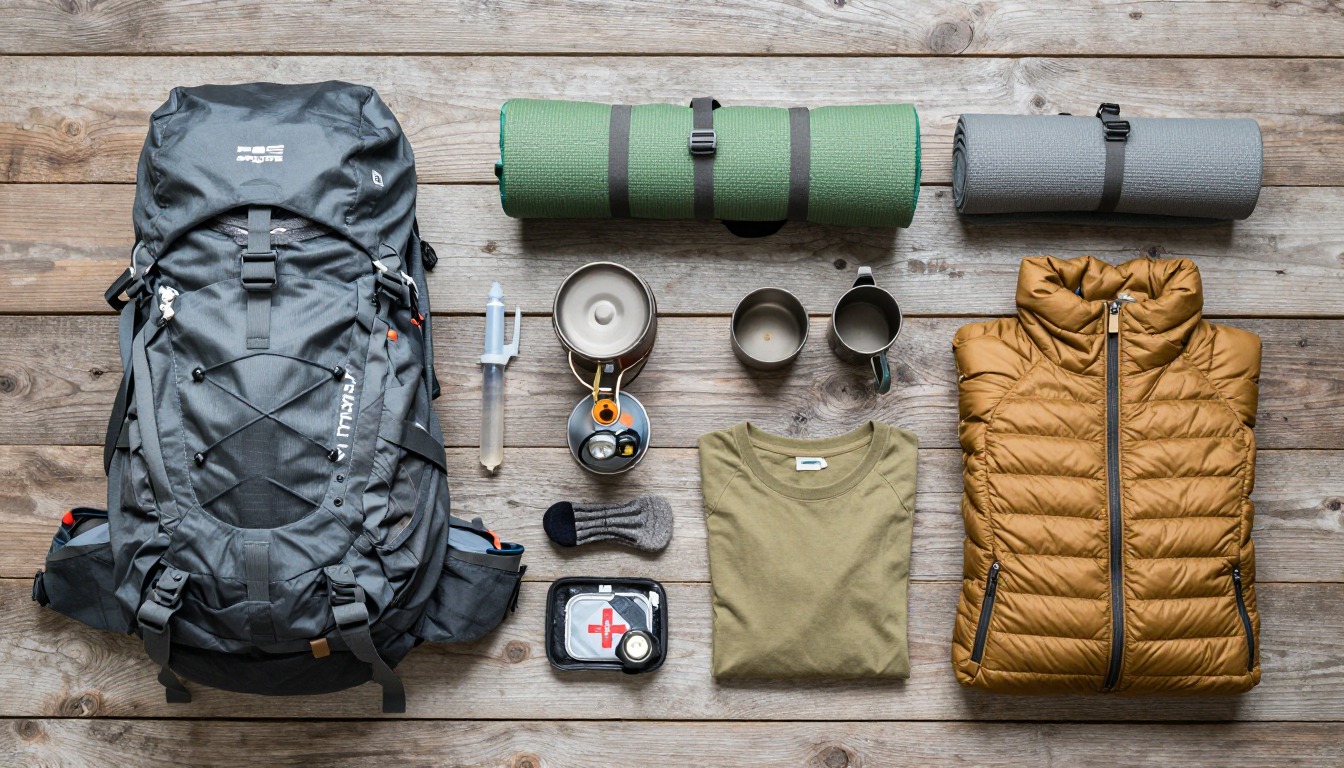
Complete gearsets for this trip
Full curated kits built for exactly this kind of hike.
Trail conditions, permits and access rules change without notice — always confirm current information on the official source above before you go. Some facts on this page are still pending owner verification and are marked accordingly. Product links and the accommodation map are affiliate links: we may earn a commission at no extra cost to you; product prices and availability are shown on Amazon, and accommodation prices on the booking site. See our affiliate disclosure.