
Affiliate disclosure: this page contains affiliate links. Purchases made through them may earn us a commission at no extra cost to you. See our affiliate disclosure.
In plain English
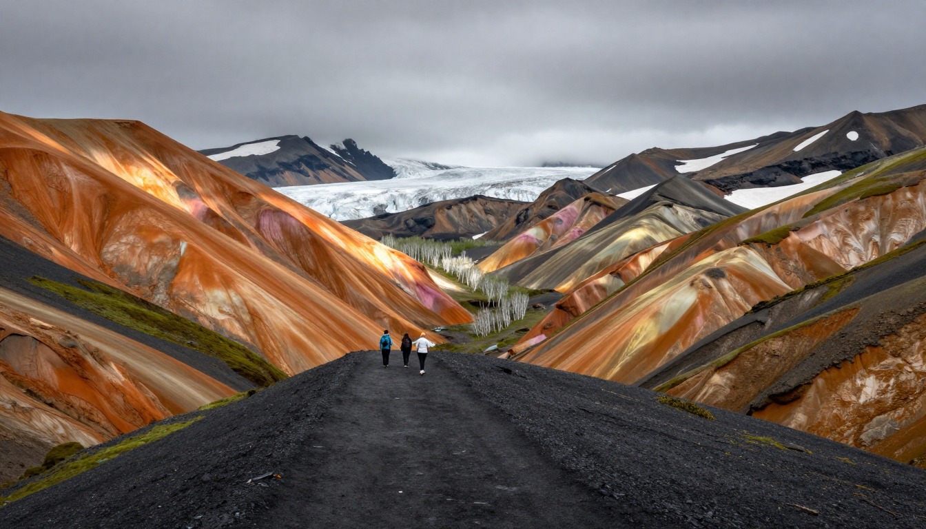
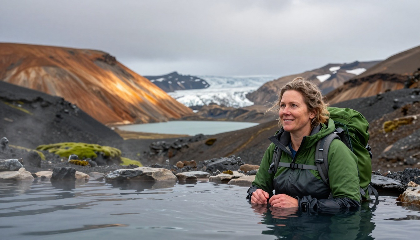
The Laugavegur is a three- to four-day walk across Iceland's highlands, through colorful volcanic hills, black sand deserts and green valleys. Each night you stay in a mountain hut run by the Icelandic Touring Association or camp beside one.1 Between the huts there is almost nothing else.
Two things make it harder than the hills suggest. First, the weather: it can be windy, cold, foggy and rainy even in summer. Second, the rivers: several have no bridge, so you take off your boots, put on other shoes and wade across ice-cold water.
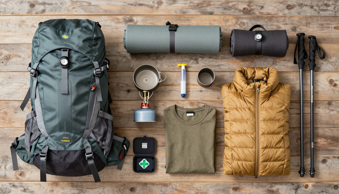
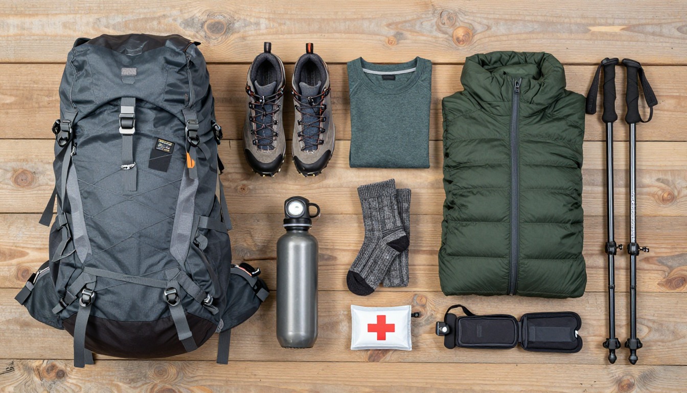
Your pack needs good rain gear, warm layers, a spare pair of shoes for rivers and dry socks. If you camp, you also need a tent that can stand up to strong wind. Always ask the hut staff about the river levels and weather before setting off, and turn back if a crossing looks too deep or fast.
What the hike is like
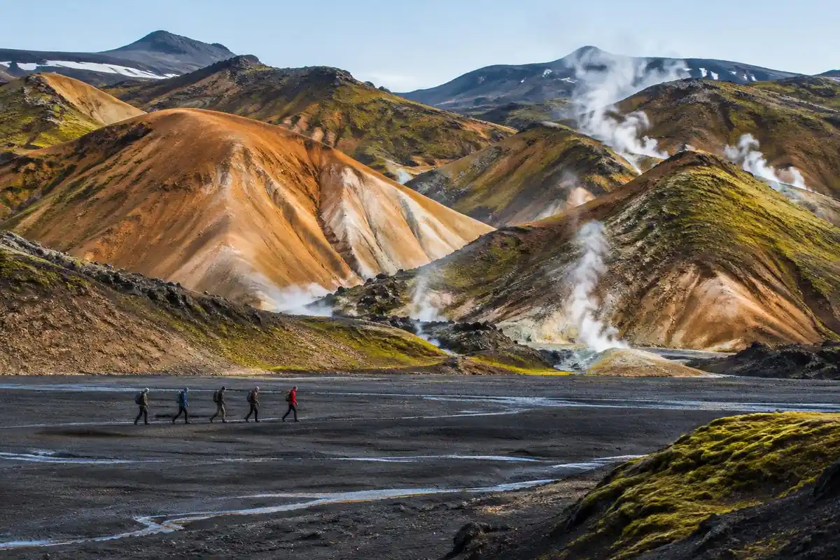
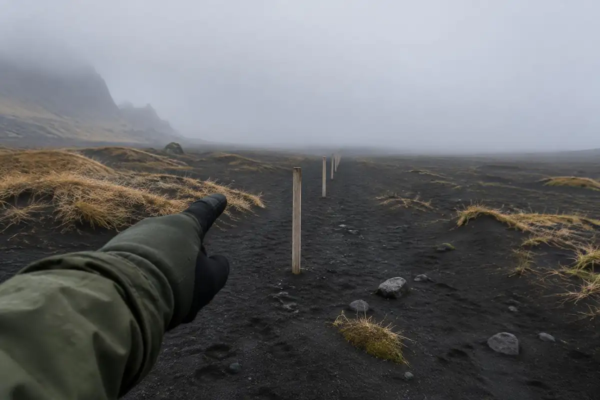
The Laugavegur changes surface almost as often as it changes color. It begins by climbing out of Landmannalaugar over crunching obsidian and through steaming, sulfur-smelling ground, onto high rhyolite slopes where snowfields linger well into the season and the tread is often soft volcanic grit. From there it crosses long, flat expanses of black sand and ash where the trail is marked by posts rather than worn into the ground — featureless walking that becomes genuinely disorienting in cloud. Lower down, rivers replace ridges as the defining obstacle: several unbridged glacial crossings where you change into other footwear, wade, and carry on. The last stage drops into birch scrub and green valley floor, a startling contrast after days of gray, and ends with braided river channels rather than a climb.
How to plan the itinerary
Four walking days is the standard shape, with each stage ending at one of the mountain huts, and that structure is set less by distance than by where shelter exists — there's nothing in between. Strong walkers sometimes combine two of the stages and finish in three days, and people who want a gentler trip occasionally add a rest day, but stretching a stage isn't an option in bad weather since the huts are the only shelter on the route. Most hikers walk north to south, starting from the hot springs and finishing in the green valley, which puts the steepest early climb behind you on fresh legs and makes the last day feel like a reward. Whichever way you go, build buffer days into your travel: the highland bus at either end is weather- and river-dependent.
Plan this trip in 5 steps
-
Pick the right pack
Match a pack to your trip, fit and priorities.
-
Plan food & water
Calories, food weight and water for your days on trail.
Trail-specific tips
Carry dedicated crossing shoes and accept that you'll get cold and wet several times — trying to keep boots dry is what gets people into trouble here. Treat each river as a go/no-go decision rather than a challenge, and ask at the hut about levels before you set off, since glacial rivers run highest later in the day. On the black-sand sections, keep the next marker post in sight before leaving the last one. Storm-rated stakes matter if you're camping: highland wind is sustained and unforgiving. General crossing and navigation judgment is on /trail-smarts/.
Permits & rules
No trekking permit is required, but hut beds and campsites should be booked through the Icelandic Touring Association. River crossings and rapid weather changes are the real hazards.
Gear suited to this hike
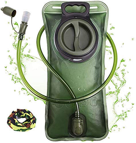
Matched to the terrain and conditions here. Real products — check current price on Amazon.



Hut beds are the real bottleneck
The Icelandic Touring Association, Ferðafélag Íslands, owns and runs the mountain huts on the Laugavegur and also offers camping.1 Its listings give Álftavatn space for 72 people and Emstrur for 60.1 With only a few dozen beds at each stage, hut beds can sell out, and camping becomes the fallback. That is why the page advises booking through the association rather than planning on arrival.
Camping changes the pack substantially. A hut trip can mean a sleeping bag, food and clothing; a camping trip adds a tent, pad and stove. Highland wind also rewards shelters that are well staked out. MSR notes that semi-freestanding tents need both poles and staked points or guy lines to pitch, and that tarp-style shelters depend entirely on stakes and guy lines, which is a weakness in sustained wind on loose volcanic grit.4
What cold rivers do to the body
Glacial rivers are cold enough to matter even for a short crossing. NIOSH notes that immersion hypothermia develops faster than ordinary hypothermia and can occur in any water below 70°F, and that wet feet lose heat 25 times faster than dry feet.2 The CDC adds that hypothermia can develop even above 40°F if someone is chilled by rain, sweat or cold water, and that the person affected may not notice.5
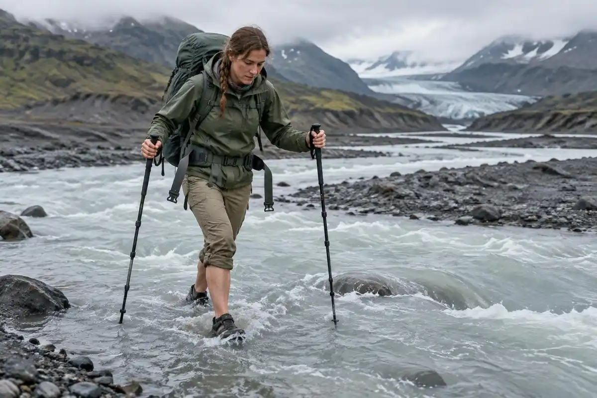
That physiology explains the page's advice about dedicated crossing shoes. The aim is to keep your boots and socks dry for the walking that follows, so your feet warm up quickly after each crossing. A small towel and dry socks packed near the top of the pack make the change fast. Trench foot can occur at temperatures as high as 60°F if feet stay wet, so do not keep walking in soaked socks for hours.2
Cold also changes how you judge a crossing: shivering, fumbling hands and confusion are hypothermia warning signs, and they make a risky decision more likely.5 If the group is already chilled, waiting or turning back is the safer call.
Navigating the black sand in fog
On the ash plains, the trail is a line of posts rather than a worn path. The NPS warns that GPS units can give inaccurate information in mountain terrain and that commercial base maps often show wrong or missing trails.3 The Forest Service's advice is to use navigation devices together with a paper map, not instead of one.6
Leave your route and expected finish with someone at home. The NPS notes a trip plan helps search and rescue, and that you should not rely on a cell phone in an emergency.7
Common questions
How difficult are the river crossings?
They vary from ankle-deep and trivial to thigh-deep, fast and genuinely cold, depending on the day, the weather and the time of day. None require technical skill, but they demand judgment. Hut wardens give current advice on levels and the best crossing points, and taking it seriously is the single most important safety habit on this route.
Do I need previous multi-day trekking experience?
It helps more here than on a comparable trail elsewhere, because there's no bail-out, no cell coverage to rely on, and the weather can turn severe fast. A fit hiker with good navigation habits and proper gear manages fine. A first-ever multi-day walk in a place with no shelter between huts is a bigger ask.
Can I do it in fewer days?
Some hikers combine stages and finish in three days, which is realistic if you're fast, traveling light and the weather cooperates. The limiting factor isn't your legs, it's that shelter only exists at the huts, so a compressed plan leaves you no option to stop early if conditions deteriorate mid-stage.
What is the weather like in summer?
Unreliable, even at the height of the season. Expect wind as a constant, rain and cold as routine possibilities, snow lingering high on the route, and fog that erases the marker posts. Sunny stretches happen and are glorious, but pack as though they won't, and check forecasts before each stage rather than once before the trip.
Complete gearsets for this trip
Full curated kits built for exactly this kind of hike.

Trail conditions, permits and access rules change without notice — always confirm current information on the official source above before you go. Some facts on this page are still pending owner verification and are marked accordingly. Product links and the accommodation map are affiliate links: we may earn a commission at no extra cost to you; product prices and availability are shown on Amazon, and accommodation prices on the booking site. See our affiliate disclosure.