
Affiliate disclosure: this page contains affiliate links. Purchases made through them may earn us a commission at no extra cost to you. See our affiliate disclosure.
In plain English
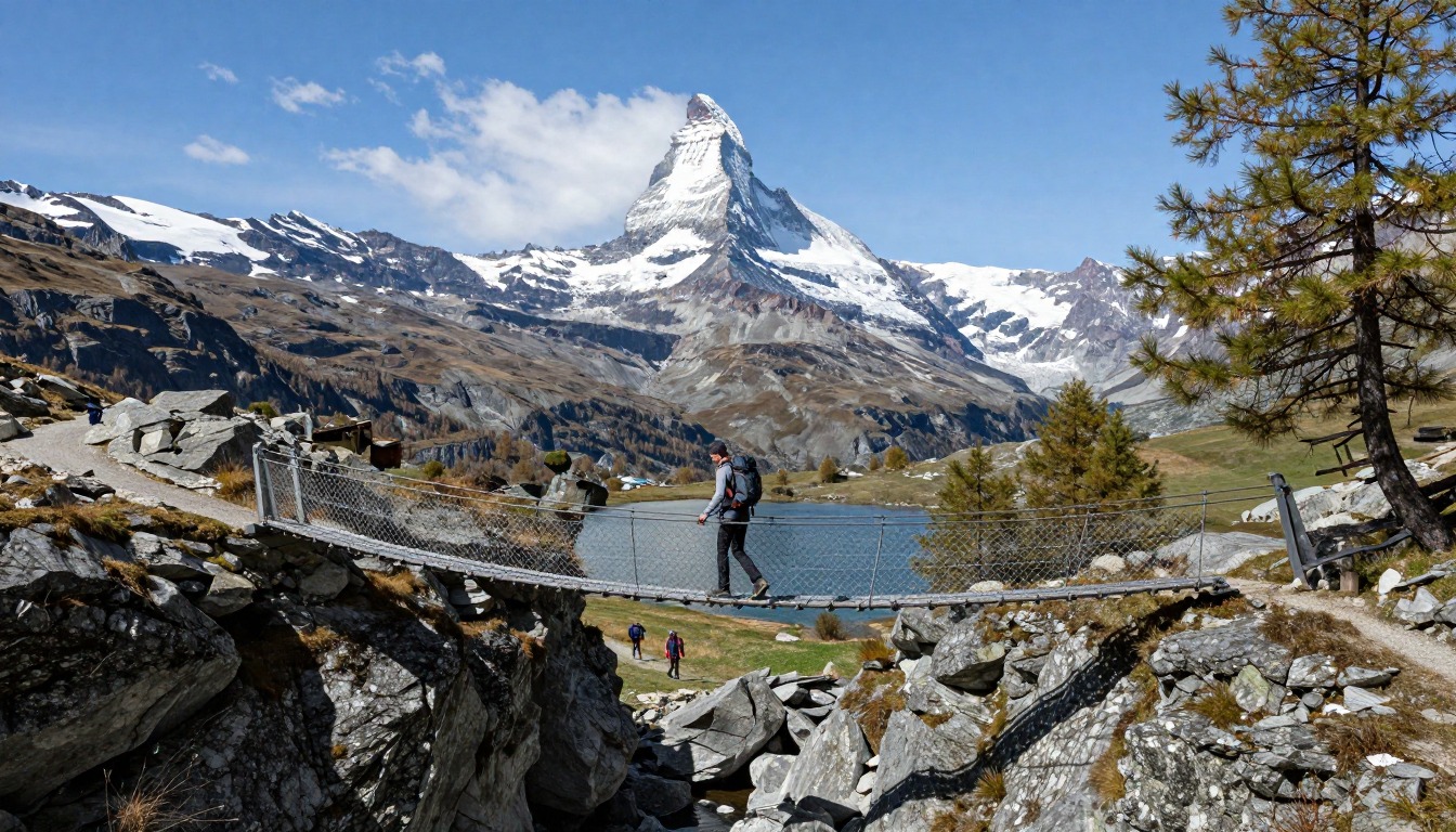
The Walker's Haute Route is a two-week hike from Chamonix in France to Zermatt in Switzerland. Each day you climb over a high mountain pass, called a col, and walk down into the next valley. You sleep in mountain huts or small village guesthouses, so you do not carry a tent.
Because huts provide beds and often meals, your pack can be lighter than on a camping trip. But it still has to hold rain gear, warm layers, water, snacks and a few days of spare clothing. The climbing and descending add up fast, like walking up and down a very tall building again and again every single day.
The Swiss Alpine Club, one of the groups that runs mountain huts in the region, promotes safety and responsible mountaineering and runs 151 huts.2 Book your beds early, and check current hut and trail information before you go.
What the hike is like
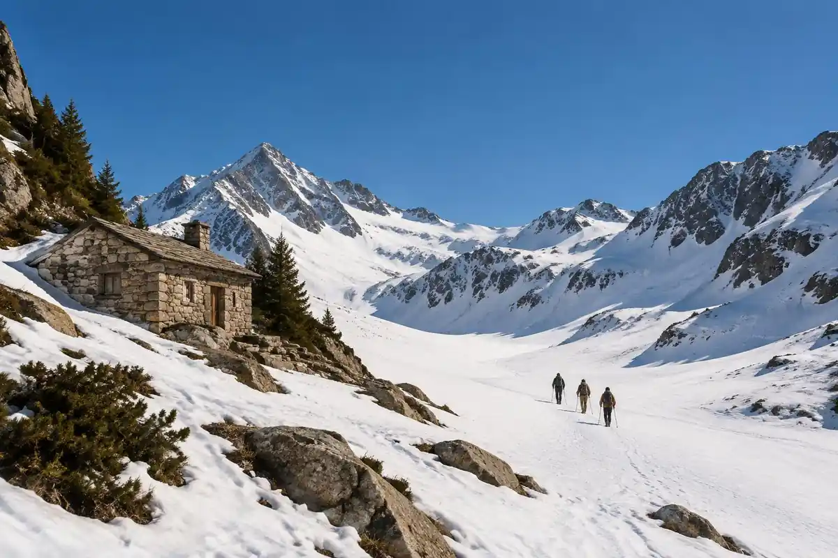
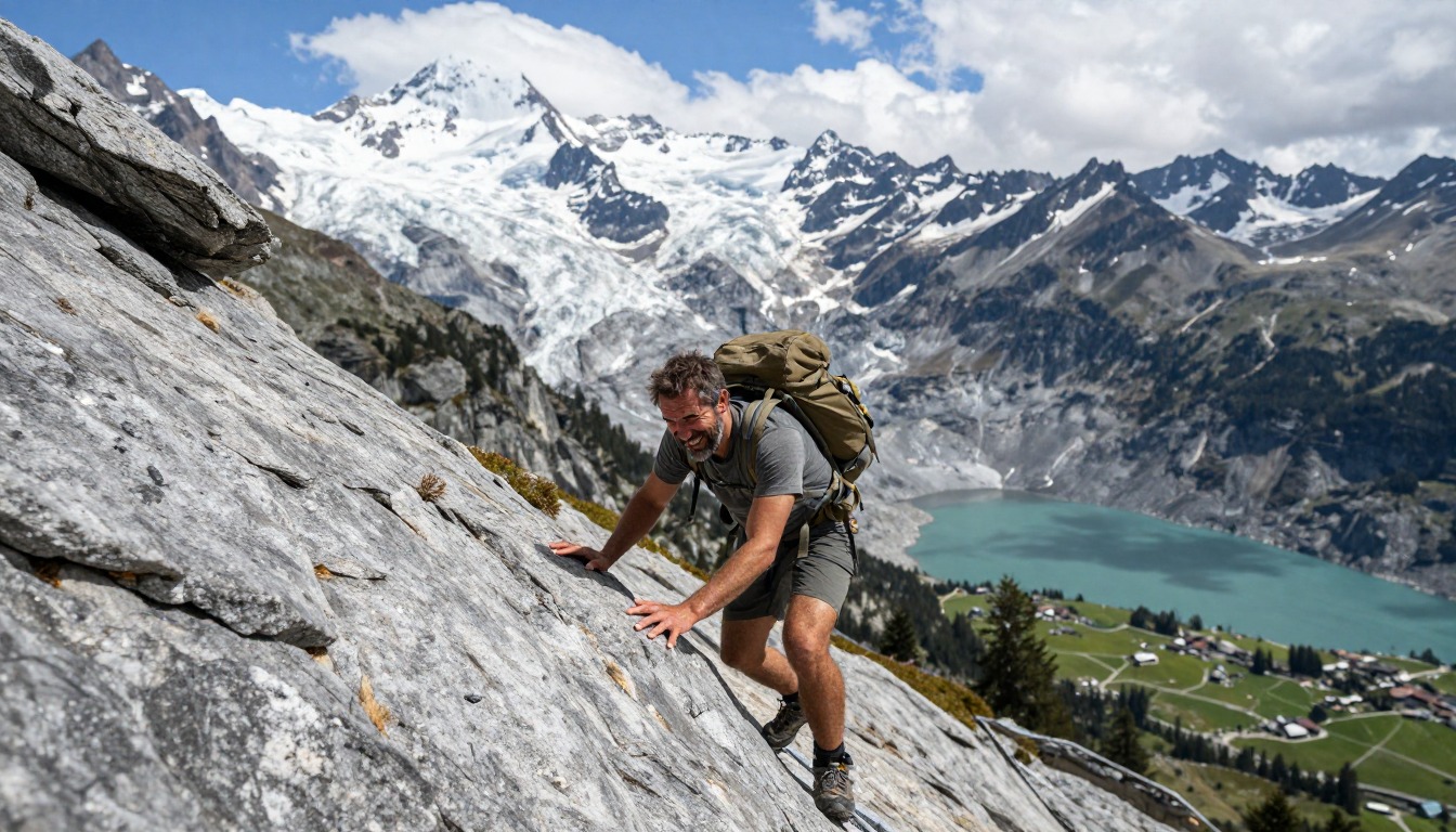
The Walker's Haute Route is built from the same unit repeated over and over: climb to a col, cross it, and drop a long way into the next valley before doing it again. That relentless up-and-down, not the horizontal distance, is what defines the walking. Terrain varies widely along the way — graded balcony paths contouring high above valley floors, steep zigzags on grass and rubble, boulder fields and moraine near the passes, and short sections where cables or fixed ropes protect a traverse. A few variants skirt glacier edges where guidebooks advise a guide or proper glacier equipment, and those stages are a genuine decision rather than a formality. Between the high days you also walk through pasture, forest, and quiet villages, and waymarking changes style as you cross from France into Switzerland.
How to plan the itinerary
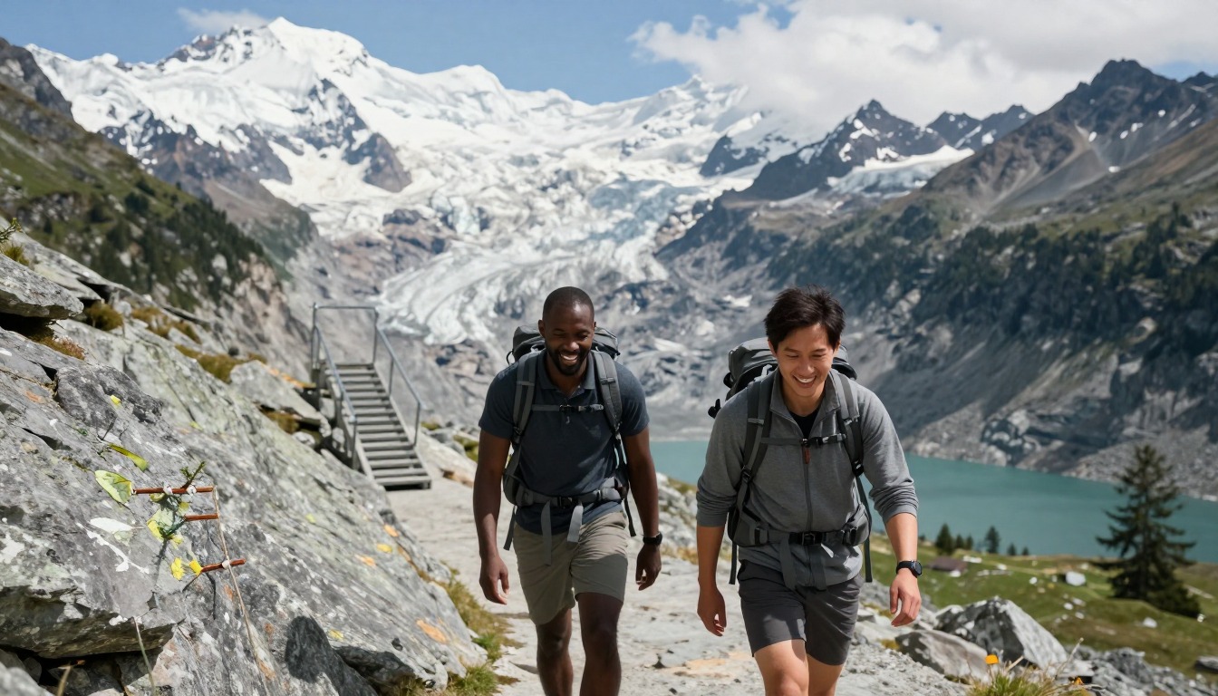
Most walkers give the full traverse around two weeks, sleeping in a chain of mountain huts and valley guesthouses spaced roughly a day apart, with the spacing of those stops doing most of the work of designing the itinerary. Because several valleys are served by buses and lifts, the route is unusually flexible: hikers routinely shorten a stage, skip a valley floor, or drop out for a rest day and rejoin further along, and the high variants can be swapped for lower alternatives when weather or conditions say so. Building one or two spare days into the trip is standard practice rather than caution — a single bad-weather day at a high col can rearrange everything downstream. Booking the accommodation chain well before the season is the part that actually fixes your plan.
Plan this trip in 5 steps
-
Pick the right pack
Match a pack to your trip, fit and priorities.
-
Book a place to stay
Campgrounds, huts and lodges near Walker's Haute Route — Chamonix to Zermatt.
-
Plan food & water
Calories, food weight and water for your days on trail.
Trail-specific tips
Train for descending, not just climbing — the daily height loss is what wrecks people, and quadriceps and knees complain long before lungs do. Know which valleys have bus services before you start, so a bail-out is a decision rather than an emergency. Cross high cols early in the day, when snow is firmer and afternoon storms haven't built. Be honest about the glacier-edge variants: take the walking alternative unless you have the skills and equipment, or a guide. See /trail-smarts/ for altitude, weather, and navigation fundamentals.
Permits & rules
No permit is required, but hut bookings are effectively mandatory in summer. This is a serious high-alpine route with a few glacier-edge sections — go with the skills, or a guide, and watch the weather.
Gear suited to this hike
Matched to the terrain and conditions here. Real products — check current price on Amazon.


The time math behind two weeks
Naismith's rule allows one hour per three miles plus one hour per 2,000 ft of ascent.1 Using the page's figures of about 125 to 134 miles and 13,800 to 15,200 m (roughly 45,000 to 50,000 ft) of ascent, that is 42 to 45 hours of distance plus 23 to 25 hours of climbing, or roughly 65 to 70 hours on the move. Spread over the page's 14 stages, that is about five hours of moving time per day before breaks, which explains why the days feel long.
Research on the rule suggests 1 m of ascent is equivalent to about 7.92 m of horizontal travel, and fell-running records support ratios of about 1:8 for men and 1:10 for women.5 The rule also ignores descent, and on this route the drops into each valley are as long as the climbs. Mountaineering Scotland notes walking speed also depends on fitness, pack weight, ground conditions and slope.6
Huts, bookings and a hut-to-hut pack
The Swiss Alpine Club says it runs 151 huts and more than 1,000 tours and promotes safety in alpine environments.2 Its site is a portal rather than a Haute Route guide, and the route also starts in France, so confirm each night's booking directly with the hut or guesthouse and check local conditions before each high crossing.
Without a tent, sleeping bag or stove, a 30 to 40 liter pack usually fits the kit, but what you leave out matters more than the size. Base weight is your gear without consumables such as food, water and fuel.7 Keeping it low pays off because the energy cost of walking with a pack rises with load, grade and speed.8 On about two weeks of big descents, poles are the other key item: they cut knee forces 12 to 25% on steep downhill ground.4
Altitude, storms and the glacier-edge variants
CDC's Yellow Book says any unacclimatized person sleeping at 8,000 ft (about 2,440 m) or higher is at risk of altitude illness, and that fitness and training do not protect against it. Headache is the main symptom, and you should never go higher to sleep while you have symptoms, however mild.3 Check the altitude of each overnight stop; if any sit near or above that line, the lower valley nights on either side help.
The cols are exposed high ground. NWS advises being off the mountain by early afternoon when storms build, avoiding ridgetops, and spreading a group out if caught in a storm.9 The page notes that some variants skirt glacier edges where guidebooks advise a guide or glacier equipment; that decision is about skills and conditions on the day, not something a pack or gear list can solve.
Common questions
How fit do I need to be for the Haute Route?
Fitter than for a typical hut trek. You're looking at consecutive long days with substantial climbing and even more descending, back to back, carrying your own gear. Hikers who've completed other multi-day alpine routes comfortably tend to cope; it's a stretch as a first big trek. Training with loaded descents beforehand pays off more than flat mileage.
Is it harder than the Tour du Mont Blanc?
Generally reckoned yes. The Haute Route runs higher, the stages are more sustained, the terrain near the cols is rougher, and the infrastructure is thinner in places. The TMB is the friendlier introduction to alpine hut-to-hut walking; the Haute Route is the step up from it, and most people walk them in that order.
Can I hike only part of it?
Yes, and plenty do. Because the route crosses a series of valleys with road and bus access, it breaks naturally into sections that can be walked on their own, with transport in at one end and out at the other. Picking a few consecutive high stages is a common way to get the character of the route in a shorter trip.
Do I need mountaineering skills or special gear?
The standard walking route is for experienced hikers rather than mountaineers, but conditions can demand more. Snow lingering on a col early in the season, or a glacier-edge variant, changes the equation — that's when people hire a guide or choose the lower alternative. Poles, proper boots, and real layers are the baseline for everyone.
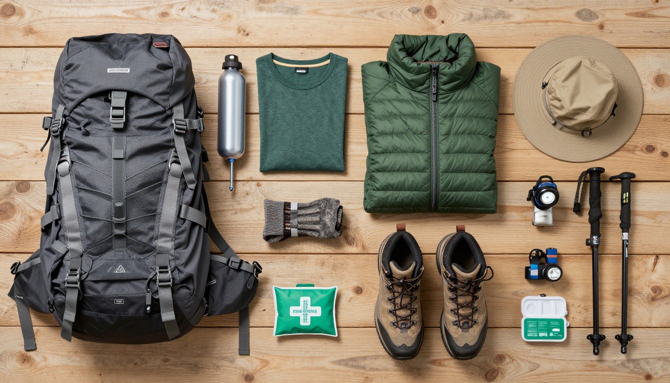
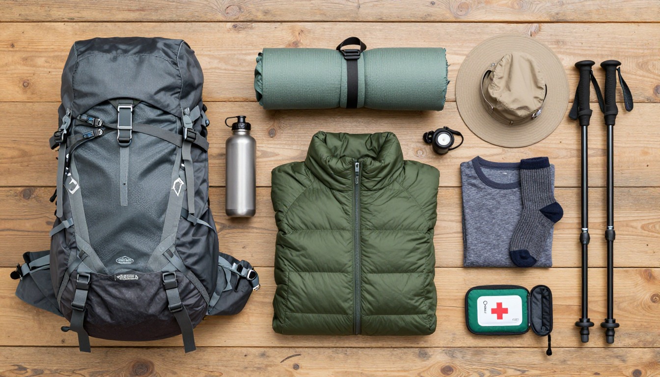
Complete gearsets for this trip
Full curated kits built for exactly this kind of hike.

Trail conditions, permits and access rules change without notice — always confirm current information on the official source above before you go. Some facts on this page are still pending owner verification and are marked accordingly. Product links and the accommodation map are affiliate links: we may earn a commission at no extra cost to you; product prices and availability are shown on Amazon, and accommodation prices on the booking site. See our affiliate disclosure.