
Best Time to Hike Kumano Kodo — Nakahechi
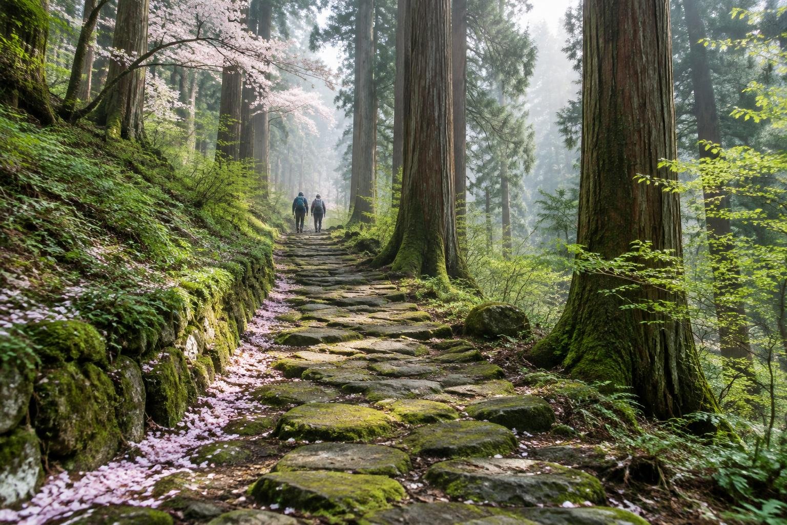
The best time to hike Kumano Kodo's Nakahechi is spring and autumn, which the official season guidance names as ideal. Those months sit between the coldest winter stretch and the wettest summer and early autumn weeks, with mild to cool conditions and a workable amount of daylight.
Month-by-month climate for Kumano Kodo — Nakahechi
| Month | Relative warmth | Rain | Daylight |
|---|---|---|---|
| Jan | Coldest | 62 mm | 10 h |
| Feb | Coldest | 83 mm | 10.8 h |
| Mar | Coldest | 142 mm | 11.7 h |
| Apr | Cool | 194 mm | 12.9 h |
| May | Mild | 196 mm | 13.8 h |
| Jun | Warm | 294 mm | 14.2 h |
| Jul | Warmest | 271 mm | 14 h |
| Aug | Warmest | 260 mm | 13.3 h |
| Sep | Warm | 325 mm | 12.2 h |
| Oct | Mild | 234 mm | 11.1 h |
| Nov | Cool | 110 mm | 10.2 h |
| Dec | Coldest | 81 mm | 9.8 h |
Modelled regional averages for 2010–2023 (rainfall) and calculated daylight hours; they describe the wider area, not a reading taken on the trail. “Relative warmth” compares each month with the warmest and coldest months of this place’s own year. It is not a temperature, and the high parts of a route are colder than the region around them.
The modelled averages show a clearly wet season: June brings about 294 mm and September peaks near 325 mm, the wettest month of the year. Winter is far drier, with January at roughly 62 mm and December near 81 mm. Daylight swings from about 9.8 hours in December to 14.2 hours in June. Relative to this place's own year, January through March run coldest, July and August warmest, and April, May, October and November sit in the cool-to-mild middle. These are regional averages, not trail measurements.
Kumano Kodo — Nakahechi season by season
Spring · March to May
Spring is one of the two windows the official season guidance calls ideal. March is still among the coldest months of the year and gets about 142 mm of rain, but conditions ease through April (cool, around 194 mm) and May (mild, around 196 mm). Daylight grows from about 11.7 hours in March to 13.8 hours in May, giving comfortable margins for long forest stages between villages.
Summer · June to August
Summer is the warmest stretch of the year here and also one of the wettest. June averages about 294 mm of rain and July about 271 mm, with August near 260 mm. Daylight is at its longest, peaking around 14.2 hours in June, which helps on long walking days. The trade-off is wet forest paths and the highest relative warmth, so plan for rain and take extra care with pacing.
Autumn · September to November
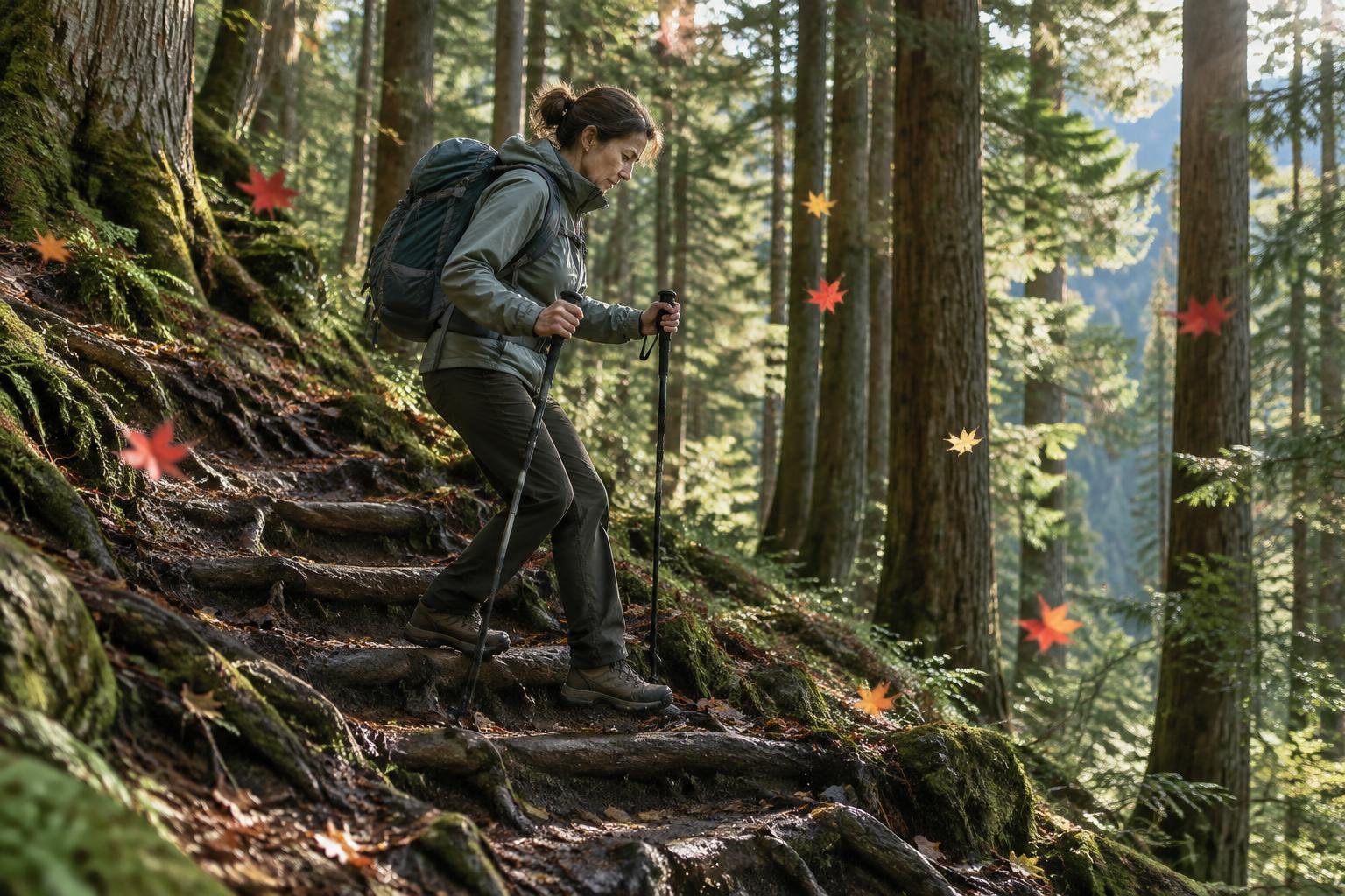
Autumn is the second ideal window in the official season guidance, though it starts wet: September is the wettest month in the data at about 325 mm. October eases to roughly 234 mm with mild conditions, and November drops to about 110 mm with cool conditions. Daylight shrinks from 12.2 hours in September to about 10.2 hours in November, so late-season stages need earlier starts.
Winter · December to February
Winter holds the coldest months of this place's year and the shortest days, from about 9.8 hours of daylight in December to 10.8 hours in February. It is also the driest season in the data, with roughly 62 mm in January, 83 mm in February and 81 mm in December. Dry weather is appealing, but the official guidance points to spring and autumn, so check with the managing authority before planning a winter walk.
Official season guidance
Tanabe City Kumano Tourism Bureau: Spring and autumn are ideal
No permit is needed. The Nakahechi is walked hut-free, inn-to-inn, so the key is booking the small village ryokan and minshuku well ahead — they fill fast and there are few beds. Carry the pilgrim stamp book if you want to collect the shrine seals.
Check current dates on tb-kumano.jp (Kumano Tourism Bureau, Kumano Kodo)What to pack for the season
Pack for the season you choose. Spring and autumn call for layers you can add or shed through the day, plus reliable rain cover, since both seasons carry meaningful rainfall. Summer adds sun protection and a rain plan. Winter and late autumn mean short days, so carry a headlamp for the walk into village lodgings.
For layering, rain cover and weather planning, see hiking in rain, heat and cold.
Timing mistakes to avoid
Choosing a month on warmth alone is the easy error: September looks warm but is the wettest month in the data. Another is ignoring the official season guidance, which names spring and autumn as ideal, when picking summer or winter. Leaving booking late is a further trap. The permits and rules text stresses that village ryokan and minshuku fill fast and beds are few, so lock in lodging before fixing dates.
Common questions
When is the best time to hike the Nakahechi?
The official season guidance says spring and autumn are ideal. In the modelled data, April, May, October and November sit in the cool-to-mild middle of the year's range, which suits sustained walking between shrines and villages better than the colder winter or wetter summer.
Which month is the wettest on the Nakahechi?
September is the wettest month in the modelled averages at about 325 mm, followed by June at roughly 294 mm and July at about 271 mm. These are regional averages rather than trail measurements, so treat them as typical patterns, not forecasts.
Is winter a good time to hike the Kumano Kodo?
Winter is the driest season in the data, with about 62 to 83 mm a month, but it holds the coldest months and the shortest days at roughly 10 hours of daylight. The official season guidance favors spring and autumn, so confirm conditions with the managing authority before going.
Does the best season affect when I need to book?
Yes. No permit is needed, but the route is walked inn-to-inn and the small village ryokan and minshuku have few beds and fill fast. Ideal-season dates are the most likely to be taken, so book lodging well ahead of choosing your final walking days.
Sources
- Tanabe City Kumano Tourism Bureau — tb-kumano.jp (Kumano Tourism Bureau, Kumano Kodo): official season and permit guidance.
- NASA POWER (Prediction Of Worldwide Energy Resources): monthly temperature and rainfall averages, 2010–2023, from MERRA-2 reanalysis. Daylight hours are calculated from latitude.
Conditions, closures and permit rules change without notice — confirm current information with the managing authority before you go. See our editorial policy and affiliate disclosure.