
Affiliate disclosure: this page contains affiliate links. Purchases made through them may earn us a commission at no extra cost to you. See our affiliate disclosure.
In plain English
The Lycian Way is not one smooth trail. It is a chain of paths, farm roads, village lanes and old paving, joined into a route along a rugged coast. Most days involve climbing from near sea level to a ridge and dropping back down again, repeatedly.
The real challenges are heat and rough ground. Sharp limestone is hard on shoes and ankles, and the sun does not let up. That is why people start early, rest through the hottest hours and finish in the afternoon.
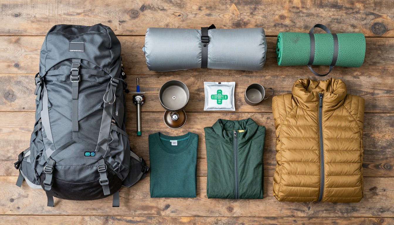
Most walkers do a section of several days between villages with a light pack. Carrying less makes the many short, steep climbs far easier, so it pays to keep what you carry simple. Leave out anything you would not miss.
What the hike is like
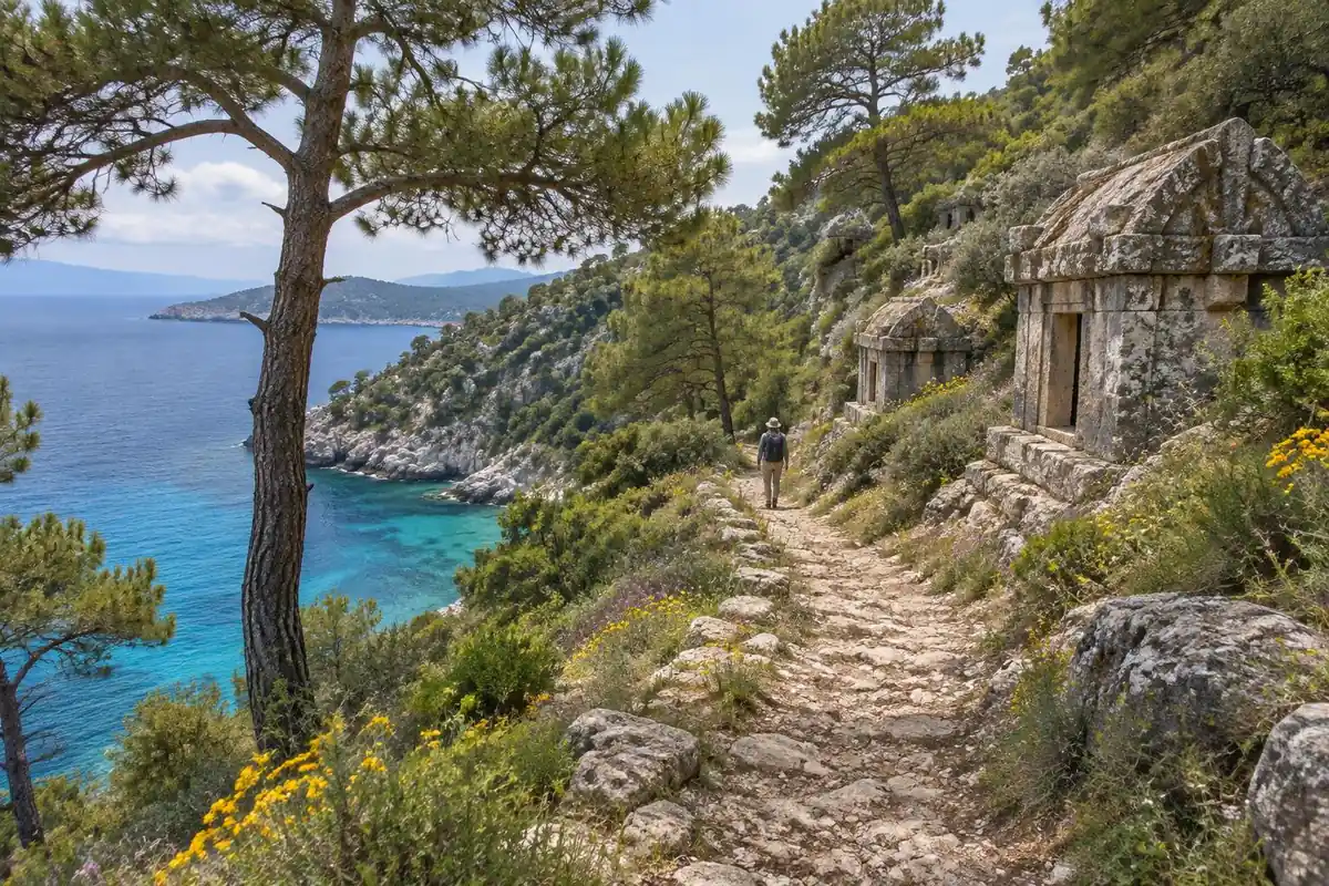
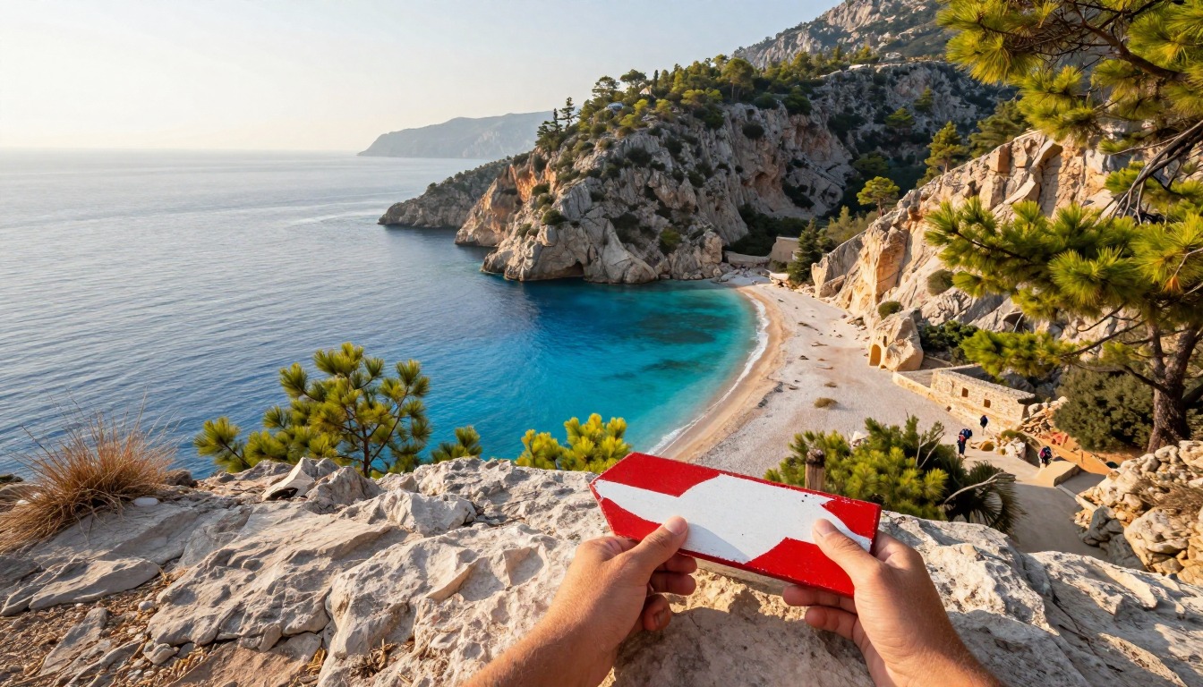
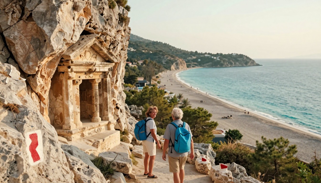
This is not one consistent trail but a stitched-together corridor, and the surface changes constantly: stony goat paths across bare limestone, soft needle-covered track through pine forest, dusty farm roads, village lanes, ancient paving worn smooth, and occasional drops down to a cove. The profile is the real work — the route rarely holds a contour for long, instead climbing sharply from sea level to a shoulder and dropping straight back down again, repeatedly, within a single day. Underfoot the limestone is sharp, loose, and hard on both soles and ankles. Waymarking follows red-and-white flashes painted on rock in the French GR style, generally good but faded or lost where new roads and building work have cut through. Ruins turn up directly on the path, unfenced and unannounced.
How to plan the itinerary
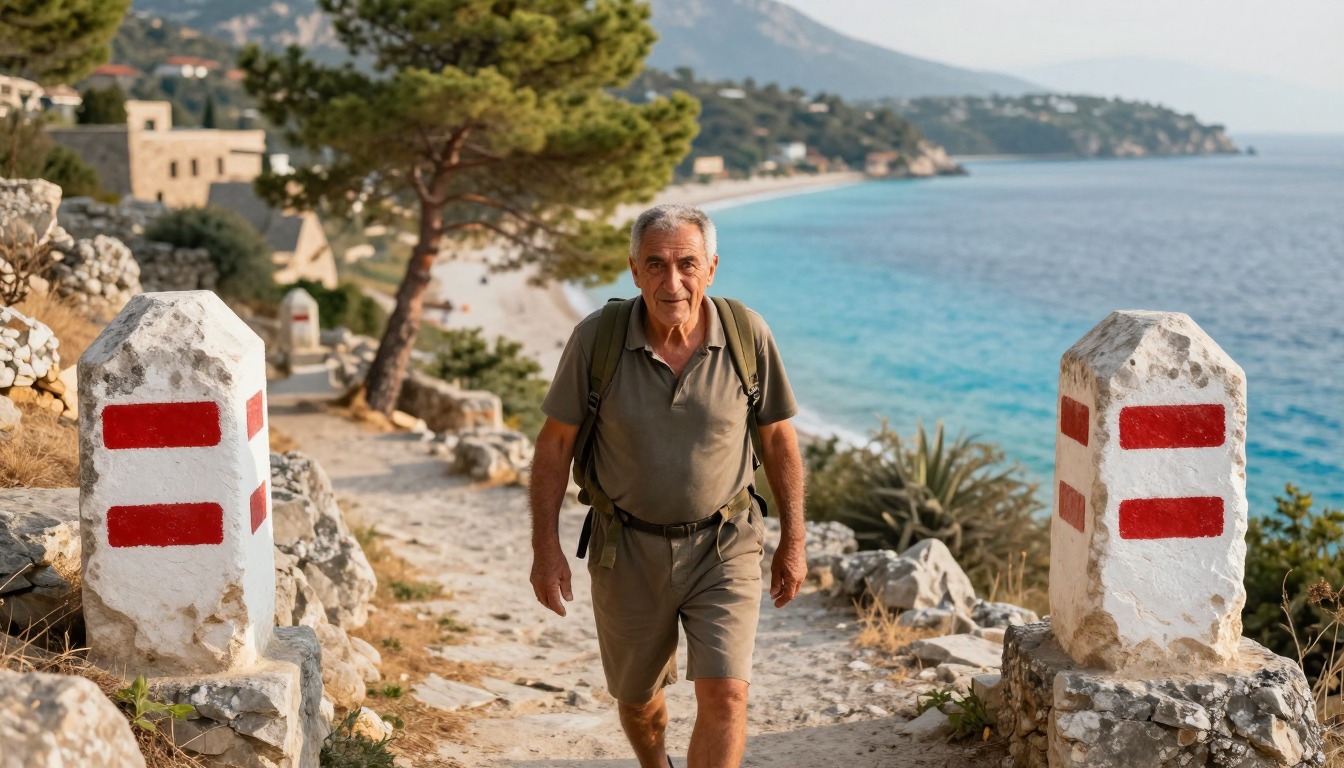
Very few people walk the whole thing end to end. The normal approach is choosing a section of several days that links villages with places to eat and sleep, walking village to village with a light pack, and using buses or minibuses to reach the start and leave from the finish. Fethiye is the most common gateway and a natural place to begin a first section. Days are usually shaped around the heat rather than the distance: set off early, do the climbing before mid-morning, take a long break through the hottest hours, and finish in the afternoon. Some hikers camp between villages to reach quieter stretches, which adds weight but opens up sections where accommodation is sparse.
Plan this trip in 5 steps
-
Pick the right pack
Match a pack to your trip, fit and priorities.
-
Plan food & water
Calories, food weight and water for your days on trail.
Trail-specific tips
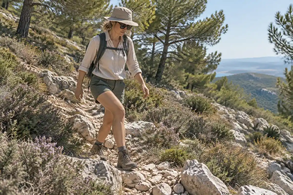
Plan by terrain, not by distance. The constant climbing and sharp limestone mean a day here takes far longer than the same mileage on flat ground, and newcomers routinely overreach on their first attempt. Carry an offline map or GPX track as well as trusting the paint, because waymarks vanish where roads have been bulldozed through. Water is the binding constraint — villages and cisterns are the supply, and there is little in between, so top up at every opportunity. Shade is scarce on the open sections. General heat and navigation advice is at /trail-smarts/.
Permits & rules
No permit is needed to walk. It’s a rugged, well-waymarked coastal trail (waymarked in the French GR style), mixing beach towns, mountain villages and ancient Lycian ruins. Summer heat is the real hazard — walk in spring or fall, start early, and carry plenty of water.
Gear suited to this hike
Matched to the terrain and conditions here. Real products — check current price on Amazon.


Heat, sun and water on exposed limestone
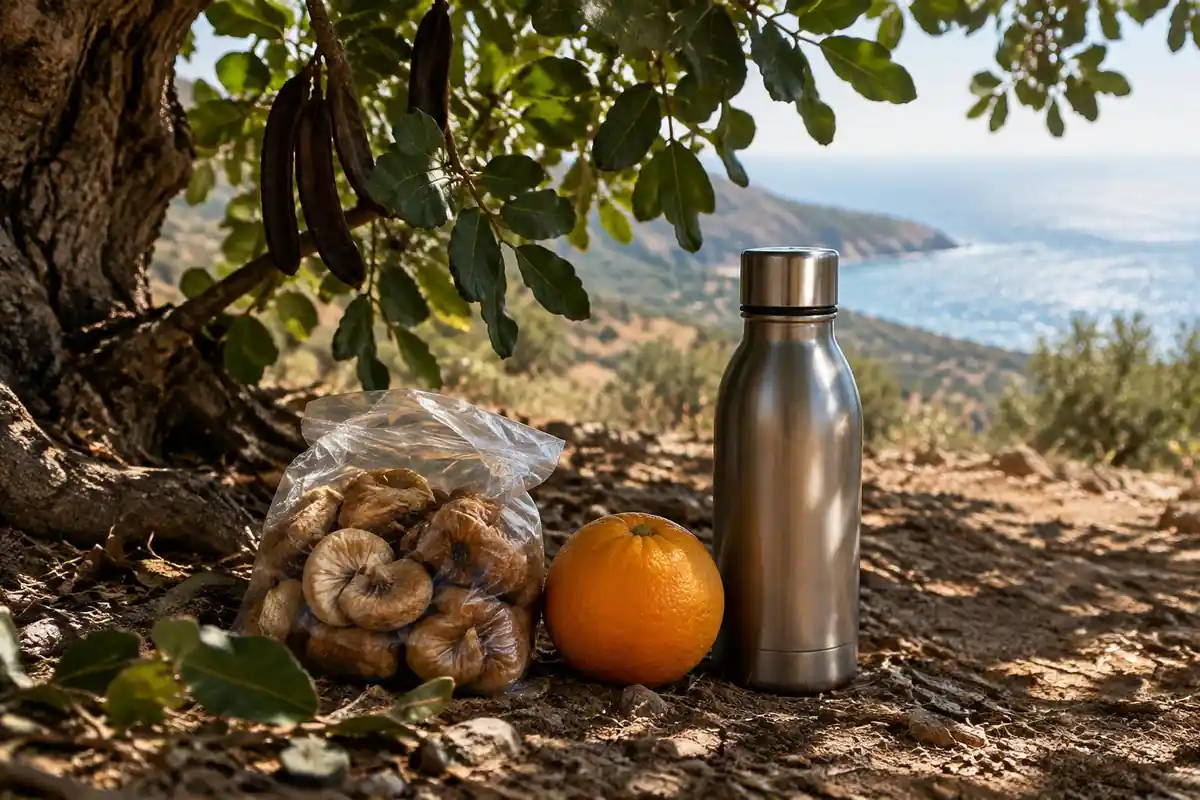
Shade is scarce on the exposed coastal hills. Dehydration is the most important predisposing factor in heat illness besides weather and exercise intensity, and sweat rates can reach 1 liter per hour.1 NPS says hikers in heat can lose one to two quarts of water per hour and advises salty snacks to balance water intake.2 The CDC adds that drinking only enough to relieve thirst helps prevent hyponatremia, and that forcing water when not thirsty raises the risk.1
Heat also affects timing. The CDC suggests doing outdoor activities during the coolest parts of the day when heat risk is high,3 which is exactly the start-early, rest-at-midday pattern the page describes. Sun exposure follows the same schedule: UVB is strongest from 10 a.m. to 4 p.m., and the CDC recommends broad-spectrum sunscreen of SPF 30 or higher reapplied every two to four hours.4
Footwear and rough limestone
Sharp, loose limestone punishes soles and ankles. A footwear maker's perspective is useful but is a brand view: KEEN says a boot's added stability and support can be welcome under a fully loaded backpack, while lighter shoes are designed to be lightweight and breathable.5 On a village-to-village walk with a light pack, many walkers choose the lighter option; the deciding factor is fit and sole toughness, not category.
Fit matters more than type. Feet swell during the day, so test shoes late in the day with about half an inch beyond the longest toe.6 Moisture-wicking socks and early treatment of hot spots reduce blisters.7 After a day of steep ups and downs, blisters are the most common trip-ending problem.
Waymarking, water weight and how much to carry
Red-and-white flashes mark the route but fade or vanish where new roads and buildings have cut through. NPS notes that GPS and phone maps can be inaccurate in mountain terrain and that base maps can show misdirected trails,8 so carry a paper map and download offline maps as a backup.
Water weight is easy to underestimate: NPS notes water weighs about 8 pounds per gallon, and a gallon a day for a multi-day trip adds up fast.9 Where you can refill in villages, carry less. If you camp between villages, remember that base weight, the weight of your gear without food, water and fuel, is the number to keep low; lightweight backpacking is usually under 20 pounds.10 Because the route is a corridor of mixed land, check local rules on camping and access with the villages or local authorities before you commit.
Common questions
Do I have to walk the whole Lycian Way?
No, and most people do not. The trail is designed to be walked in sections, with villages and coastal towns dividing it into manageable multi-day chunks connected by local transport. Picking one section that suits your time and fitness is the standard approach, and you can always come back for another stretch later.
Is the trail well marked, or do I need GPS?
The red-and-white waymarking is generally good and often excellent, but it is not infallible — paint fades, and new roads and construction have erased or rerouted stretches. Most hikers carry an offline map or downloaded track as a backup and use the paint as their primary guide. Together, the two are reliable; either alone occasionally is not.
How do I manage water on the Lycian Way?
Villages, fountains, and cisterns are the practical supply points, and the gaps between them can be long, hot, and completely shadeless. Plan each day around where you can refill rather than where you will stop for lunch, carry more capacity than you would at home, and treat any water whose source you cannot verify.
What footwear suits this trail?
Something with a stiff, grippy sole. The sharp, loose limestone that makes up much of the route chews through soft soles and punishes thin footwear on the steep descents. Many hikers choose supportive trail shoes or light boots that are already broken in, and accept that whatever they wear will look considerably older afterward.
Complete gearsets for this trip
Full curated kits built for exactly this kind of hike.

Trail conditions, permits and access rules change without notice — always confirm current information on the official source above before you go. Some facts on this page are still pending owner verification and are marked accordingly. Product links and the accommodation map are affiliate links: we may earn a commission at no extra cost to you; product prices and availability are shown on Amazon, and accommodation prices on the booking site. See our affiliate disclosure.