
Best Time to Hike Tiger Leaping Gorge
The best time to hike Tiger Leaping Gorge is spring and fall, according to the official season guidance. Rainfall is modest in April and October, while summer brings heavy rain and a rockfall risk on the High Trail. Confirm current conditions with the regional scenic authority.
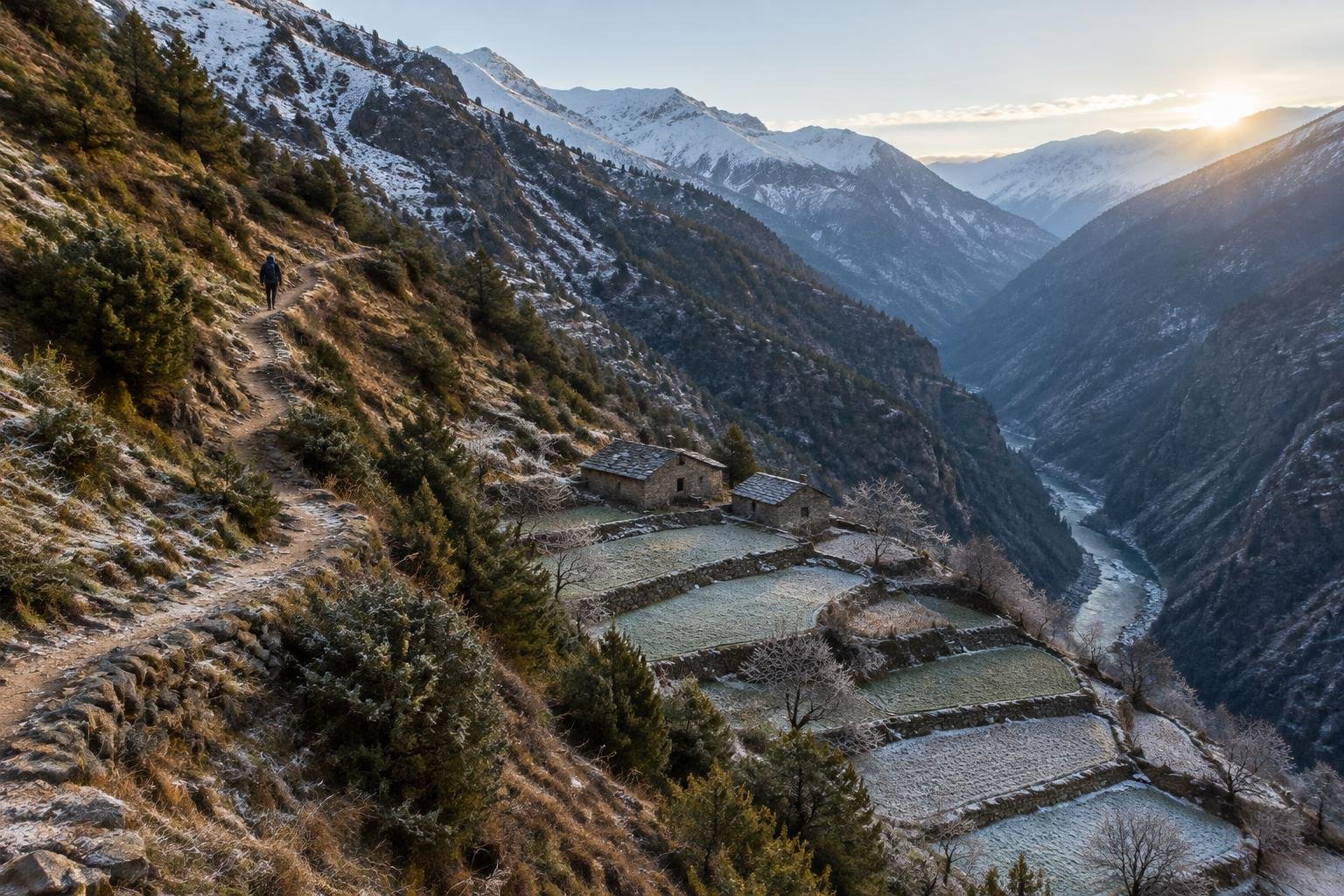
Month-by-month climate for Tiger Leaping Gorge
| Month | Relative warmth | Rain | Daylight |
|---|---|---|---|
| Jan | Coldest | 8 mm | 10.5 h |
| Feb | Coldest | 12 mm | 11.1 h |
| Mar | Cool | 21 mm | 11.8 h |
| Apr | Mild | 40 mm | 12.7 h |
| May | Warmest | 52 mm | 13.3 h |
| Jun | Warmest | 151 mm | 13.7 h |
| Jul | Warmest | 228 mm | 13.6 h |
| Aug | Warmest | 224 mm | 13 h |
| Sep | Warmest | 136 mm | 12.2 h |
| Oct | Mild | 64 mm | 11.3 h |
| Nov | Coldest | 9 mm | 10.6 h |
| Dec | Coldest | 6 mm | 10.3 h |
Modelled regional averages for 2010–2023 (rainfall) and calculated daylight hours; they describe the wider area, not a reading taken on the trail. “Relative warmth” compares each month with the warmest and coldest months of this place’s own year. It is not a temperature, and the high parts of a route are colder than the region around them.
The modelled averages show a sharp wet season. Rainfall climbs from about 40 mm in April and 52 mm in May to 151 mm in June, then peaks at 228 mm in July and 224 mm in August. September still averages 136 mm, easing to 64 mm in October. The driest months are December (6 mm), January (8 mm) and November (9 mm). Daylight swings from roughly 10.3 hours in December to 13.7 hours in June. Relative to this place's own year, May through September are the warmest months, while November through February are the coldest. These are regional averages, not trail measurements.
Tiger Leaping Gorge season by season
Winter · December to February
Winter is the driest stretch of the year, with averages of just 6 mm in December, 8 mm in January and 12 mm in February. It is also the coldest part of this place's own year, and daylight is shortest at roughly 10.3 to 11.1 hours, so plan to reach your guesthouse well before dark. The official season guidance names spring and fall as the preferred windows, so treat winter as an option to check locally rather than assume. Exposed, narrow sections remain part of the High Trail whatever the season, so confirm conditions with the managing authority before setting out.
Spring · March to May
Spring is one of the two seasons the official guidance recommends. Rainfall is still light, rising from 21 mm in March to 40 mm in April and 52 mm in May, and conditions shift from cool in March to mild in April and the warmest part of the year by May. Daylight lengthens from about 11.8 hours to 13.3 hours, which gives you comfortable margins between guesthouses. Rain increases as May progresses, so keep an eye on the forecast. Since the trail has narrow, exposed sections, check current conditions with the regional scenic authority before each stage.
Summer · June to August
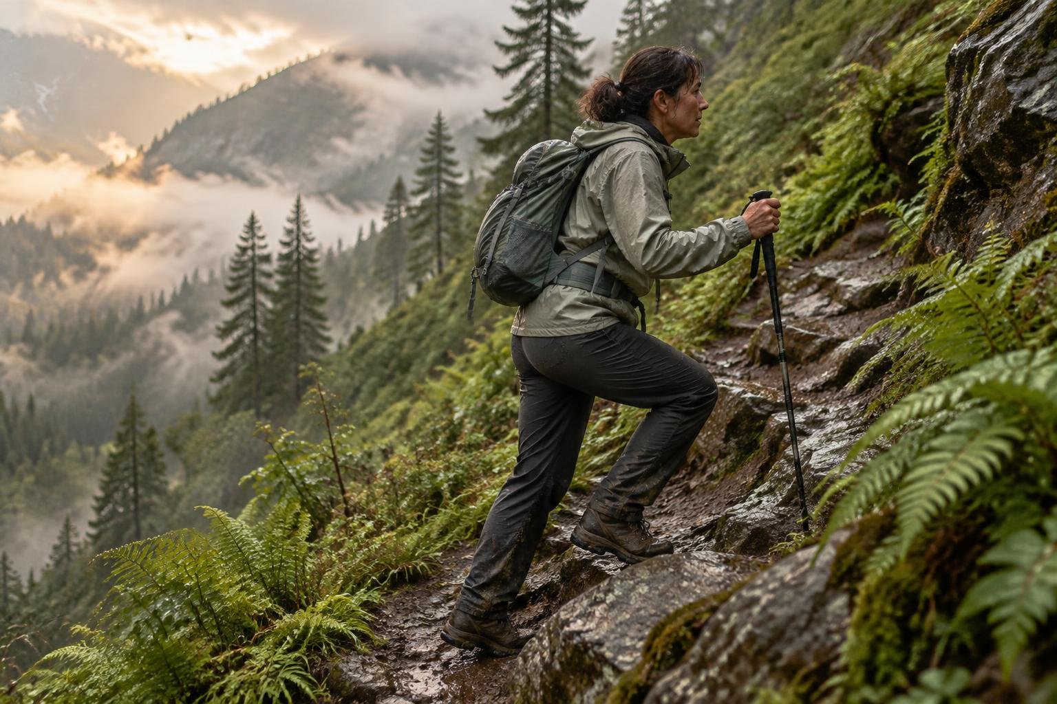
Summer is the season the official guidance flags for caution, citing rain and rockfall risk. The modelled averages back that up: 151 mm in June, 228 mm in July and 224 mm in August, the wettest stretch of the year. These are also among the warmest months relative to this place's own year, with the longest days at around 13 to 13.7 hours. Because the High Trail includes exposed, narrow sections, heavy rain can make walking more hazardous. If you travel in summer, check conditions locally each day and be ready to change your plans.
Fall · September to November
Fall is the second recommended window in the official season guidance. September still carries 136 mm of average rain and remains among the warmest months, so it behaves more like late summer. October drops to 64 mm with mild conditions, and November falls to just 9 mm as it turns among the coldest months of the year. Daylight shortens from about 12.2 hours in September to 10.6 hours in November. October is the clearest fit for the guidance, while early September and November both call for a local conditions check.
Official season guidance
Regional scenic authority: Spring and fall; summer brings rain and rockfall risk
An entrance fee has generally applied, so check current arrangements locally; the walk itself is a comfortable guesthouse-to-guesthouse trek. The upper Yangtze roars far below; the High Trail has some exposed, narrow sections, and summer rain can bring rockfall — check conditions.
Check current dates on UNESCO World Heritage Centre (Three Parallel Rivers of Yunnan)What to pack for the season
Pack for the season you choose. Layers matter in the cooler months, and a reliable rain jacket and pack cover are essential from late spring through September, when rainfall climbs. Sun protection is useful on exposed stretches of trail. Shorter winter and fall days make a headlamp worth carrying, and grippy footwear helps on narrow, exposed sections.
For layering, rain cover and weather planning, see hiking in rain, heat and cold.
Timing mistakes to avoid
The main mistake is assuming summer is fine because the days are long. The official season guidance warns of rain and rockfall risk then, and the averages show June through September as the wettest months. Another is relying on a single month's average without checking conditions, since the High Trail has exposed, narrow sections where wet weather matters most. Also avoid ignoring entrance fee and access arrangements, which should be confirmed locally with the regional scenic authority before you go.
Common questions
Is summer a bad time to hike Tiger Leaping Gorge?
The official season guidance names spring and fall as the best windows and says summer brings rain and rockfall risk. The modelled averages show July and August as the wettest months. If you must go in summer, check conditions locally and be flexible.
Which months are driest on the High Trail?
According to the modelled regional averages, December, January and November are the driest, at roughly 6, 8 and 9 mm. However, the official guidance recommends spring and fall, so confirm winter suitability with the regional scenic authority.
How much daylight can I expect?
Calculated daylight ranges from about 10.3 hours in December to 13.7 hours in June. Spring and fall fall in between, at roughly 11 to 13 hours. Shorter days mean planning each stage carefully and carrying a headlamp as a backup.
Do I need to check conditions before hiking?
Yes. The official information notes exposed, narrow sections and possible rockfall after summer rain, and says to check conditions. Conditions change, so confirm current trail status and entrance fee arrangements with the regional scenic authority before each day's walk.
Sources
- Regional scenic authority — UNESCO World Heritage Centre (Three Parallel Rivers of Yunnan): official season and permit guidance.
- NASA POWER (Prediction Of Worldwide Energy Resources): monthly temperature and rainfall averages, 2010–2023, from MERRA-2 reanalysis. Daylight hours are calculated from latitude.
Conditions, closures and permit rules change without notice — confirm current information with the managing authority before you go. See our editorial policy and affiliate disclosure.