
Affiliate disclosure: this page contains affiliate links. Purchases made through them may earn us a commission at no extra cost to you. See our affiliate disclosure.
In plain English
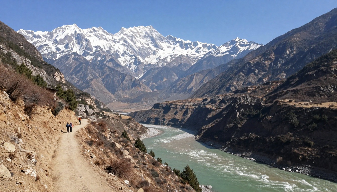
The High Trail follows a narrow path along the side of a very deep gorge. The first afternoon has a long, steep climb up switchbacks, the hardest part of the hike. After that the path rises and falls along the cliff, sometimes with a steep drop beside it.
Most people walk it in two days and sleep in a guesthouse. Because you sleep indoors and carry only a small load, you do not need a big pack. But you should watch your feet on the narrow sections, and stop walking when you want to look at the view.
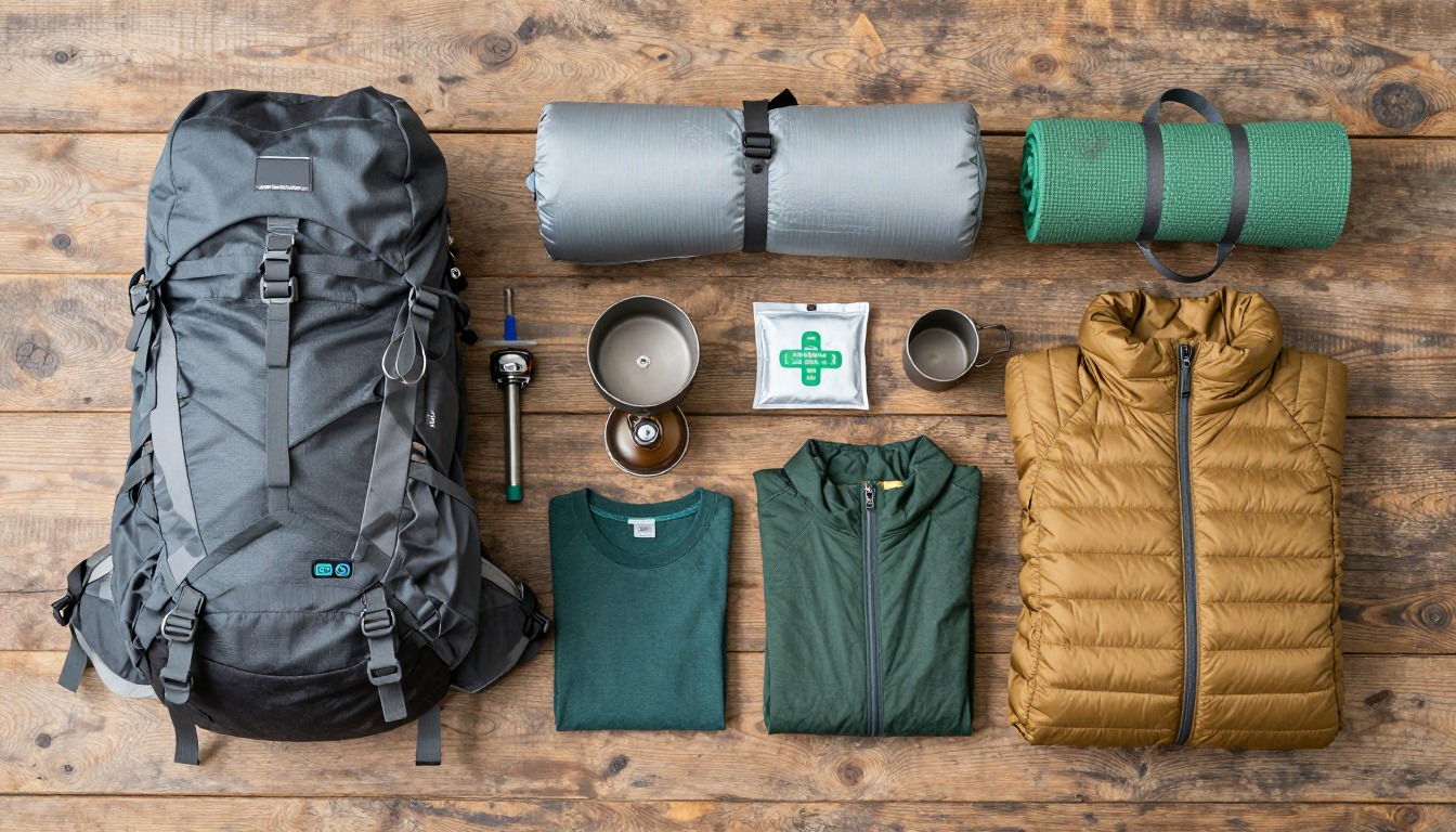
Small waterfalls run right across the path in places, so wet shoes are likely. Poles help on steep downhill parts. Carry water, snacks, a rain jacket and a headlamp, and leave your main bag at the guesthouse or in town if you can.
What the hike is like
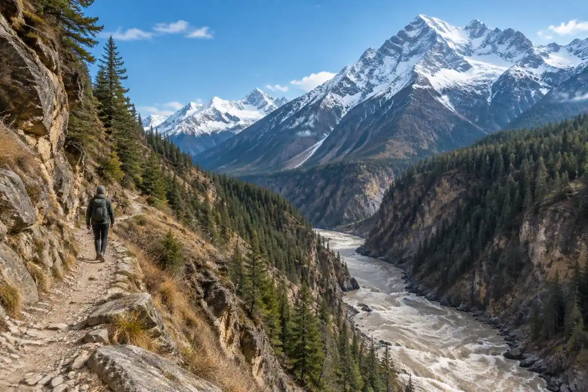
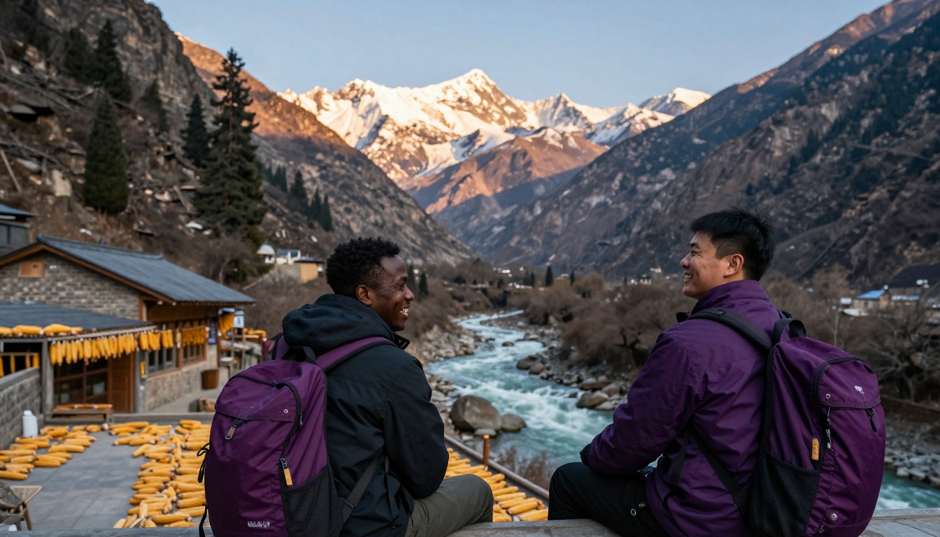
The High Trail earns its height early. From the start near Qiaotou the path climbs through farmland and terraces, then commits to a long series of tight switchbacks up the mountainside — the hardest sustained climbing on the route and the section everyone remembers. Above that, the trail settles into its real character: a narrow dirt path contouring along the gorge wall, rising and falling around each spur, with rock above and a very long drop toward the river below. Some stretches are cut into the slope and exposed enough that you'll slow down and watch your feet rather than the view. It threads past small farming hamlets and terraced fields, crosses a few waterfalls that run straight over the path, and eventually descends toward guesthouses further down the gorge.
How to plan the itinerary
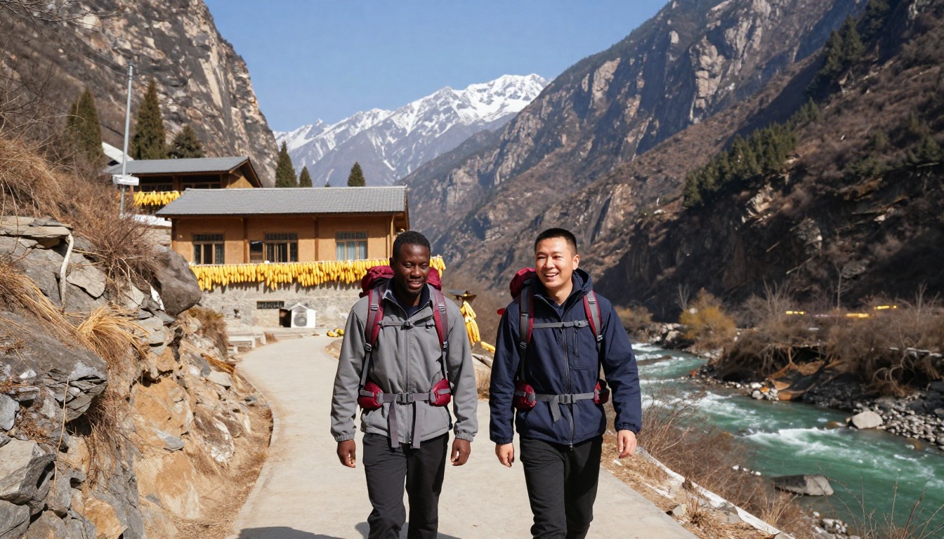
The classic way to walk it is over two days, guesthouse to guesthouse, and the split is determined by where you stop rather than by distance. Most hikers start late morning after the transfer from Lijiang, get the big climb done on the first afternoon, and reach a guesthouse partway along the gorge by evening. The second day is easier — more undulating traverse than climbing — and finishes with a descent to the road. Some people stretch it to three days to walk slower and take the steep side path down toward the river, which is a serious out-and-back on its own. Others walk only the first section and take transport onward. A scenic-area entrance ticket is typically bought near the start; confirm current arrangements locally.
Plan this trip in 5 steps
-
Pick the right pack
Match a pack to your trip, fit and priorities.
-
Plan food & water
Calories, food weight and water for your days on trail.
Trail-specific tips
Do the big climb in the cool of the morning if your travel timing allows, and don't race it — the switchbacks are unpleasant in heat and there's no shade in places. Carry enough water for each stage; guesthouses are spaced out, not constant. Give way to mules on the narrow sections by stepping to the inside wall, never the drop side. Avoid the exposed stretches in heavy rain, when rockfall is a real risk. Keep your ticket handy for checks further along. See /trail-smarts/ for exposure and weather basics.
Permits & rules
An entrance fee has generally applied, so check current arrangements locally; the walk itself is a comfortable guesthouse-to-guesthouse trek. The upper Yangtze roars far below; the High Trail has some exposed, narrow sections, and summer rain can bring rockfall — check conditions.
Gear suited to this hike
Matched to the terrain and conditions here. Real products — check current price on Amazon.


Exposure, footing and pacing
The page says much of the route is a narrow path cut into the gorge wall with a long fall below and no barriers in places. The best evidence-based habits here are simple. The Park Service advises hiking with a companion, leaving a trip plan with someone not on the trip, and setting a turnaround time you stick to.1 On a route where you sleep in guesthouses, that means telling the guesthouse where you plan to end the day and sticking to it.
Fatigue is what turns an exposed path into a dangerous one. The Park Service says to plan for uphill sections to take at least double the downhill time.1 After the big switchback climb on the first afternoon, it makes sense to slow down for the exposed contour section instead of trying to make up time.
Wet paths, waterfalls and foot care
The page says a few waterfalls run straight over the path. Wet feet matter more than they seem: NIOSH says wet feet lose heat 25 times faster than dry feet, and that trench foot can occur at temperatures as high as 60 degrees Fahrenheit if feet stay wet.3 The CDC notes hypothermia can develop above 40 degrees Fahrenheit when someone is chilled by rain, sweat or cold water.4 Carry a spare pair of socks and a rain shell, and change your socks at the guesthouse.
Dermatologists also recommend nylon or moisture-wicking socks and properly fitting shoes, and they say cotton soaks up sweat and can cause friction.5 Pole use helps the steep downhill sections: one study found trekking poles significantly reduced sagittal-plane moments at lower-limb joints during downhill hiking, though on level ground poles did not appear to reduce knee load.2,6
The source problem, and how much pack you really need
Treat the page's statements about tickets, transfer timing and the side path to the river as planning estimates, and check current conditions with your Lijiang accommodation or the scenic-area office on the day.
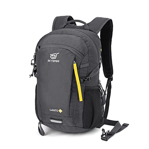
On pack size, the main variable is what you leave behind. The page notes many hikers leave main luggage in Lijiang or at a guesthouse. Base weight is everything you carry except food, water and fuel, and with guesthouse nights you can carry a small daypack, which keeps weight low.7 The Park Service's essentials list, including a headlamp and sun protection, still applies to a two-day hike on a steep, exposed path.8
Common questions
How exposed is the High Trail?
Enough to matter for people uneasy with heights. Much of the route is a narrow path cut into the gorge wall with a long fall below, and while it's a walking track rather than a scramble, there are no barriers. Most hikers are fine once they settle into it, but it isn't a trail to rush or walk distracted.
Do I need a guide?
No. The High Trail is well established, signposted in places, and walked independently by most people who do it, with guesthouses along the way giving you natural waypoints. Going with a guide is an option if you'd rather not navigate or arrange transfers yourself, but it isn't a requirement the way it is on some treks.
Can I do it in one day?
Strong, fast hikers sometimes push the main section through in a single long day, but it means starting very early and missing the point of the route. The two-day, guesthouse-to-guesthouse rhythm is what most people come for, and a single-day push leaves no margin if weather or trail conditions slow you down.
What do I need to carry?
Far less than a camping trek — guesthouses provide beds and meals, so you're walking with a daypack rather than a full load. Water, layers, rain protection, a headlamp and your ticket cover most of it. Many hikers leave their main luggage in Lijiang or at a guesthouse and collect it afterward.
Complete gearsets for this trip
Full curated kits built for exactly this kind of hike.

Trail conditions, permits and access rules change without notice — always confirm current information on the official source above before you go. Some facts on this page are still pending owner verification and are marked accordingly. Product links and the accommodation map are affiliate links: we may earn a commission at no extra cost to you; product prices and availability are shown on Amazon, and accommodation prices on the booking site. See our affiliate disclosure.