
Affiliate disclosure: this page contains affiliate links. Purchases made through them may earn us a commission at no extra cost to you. See our affiliate disclosure.
In plain English
This day is a hinge. You climb through forest to a high pass, pause, then drop down the other side. The climb is steady. The descent is steeper, dustier and harder on the body than most people expect.
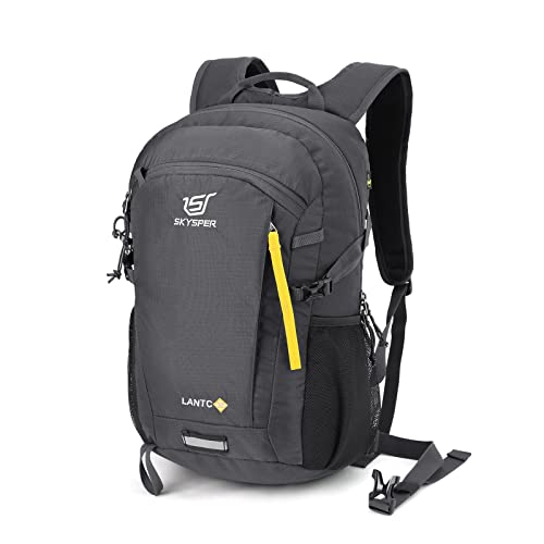
Because the valleys are remote and services are limited, you carry what you need for the day: enough water for a long climb, food, a warm layer for the pass and a rain jacket. You will also want to plan how to get in and out, and what paperwork, if any, applies, before you set off.
The good news is that you sleep in guesthouses at each end, so the pack can stay small. Spend your effort on shoes with good grip, socks that keep feet dry, and a plan that starts early.
What the hike is like
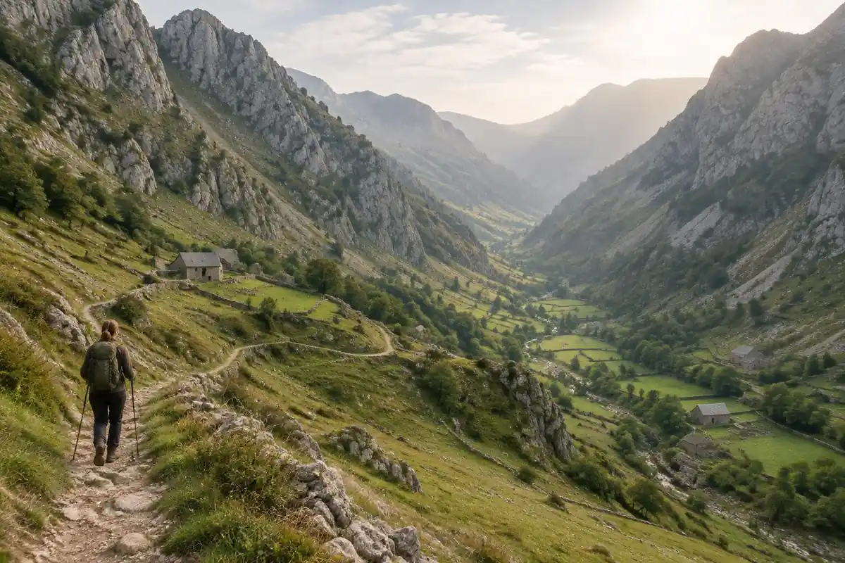
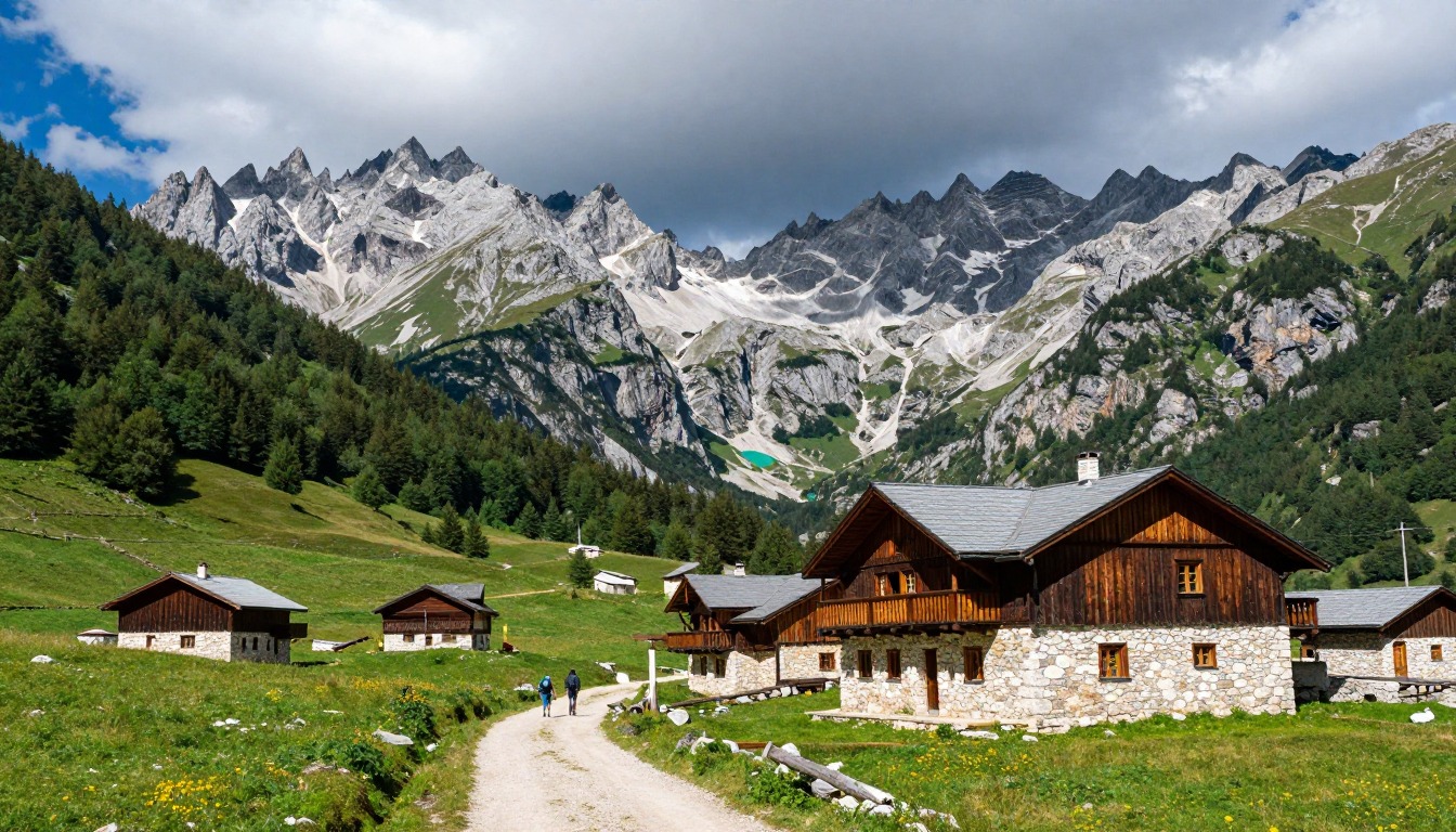
The day divides cleanly into a climb and a descent, with the pass as the hinge. From the Valbona side the route starts on a rough vehicle track along the valley bed, then narrows into a footpath climbing through beech forest, switchbacking upward as the trees thin and the ground turns to loose stone and scree beneath the limestone walls. Waymarking follows the red-and-white flashes used across the Balkans, painted on rocks and trees, and it is generally reliable although worn in places. Near the top a seasonal drinks stall appears in summer, a welcome and slightly surreal fixture. The descent on the Theth side is the longer half and the harder one on the body — steep, dusty, and loose underfoot before it eases into meadows and finally a lane into the village.
How to plan the itinerary
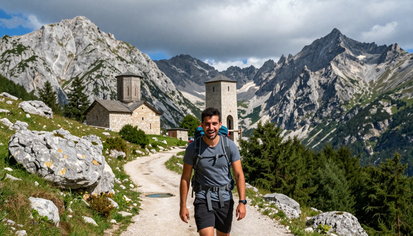
Almost everyone walks this as a single day between guesthouses, in whichever direction their onward travel dictates. The typical shape is breakfast at your guesthouse, a start early enough to do the climb before the sun is high, a long pause at the pass, and arrival in the far village by mid to late afternoon. Most hikers build a rest day into the far valley afterward, both because the descent takes a toll and because there are shorter walks worth doing from the village itself. Many extend the trip into a multi-day route through neighboring valleys. Whichever way you walk it, arrange pack transport in advance and check current permit and border requirements before you go in, since the valleys are remote and services are limited.
Plan this trip in 5 steps
-
Pick the right pack
Match a pack to your trip, fit and priorities.
-
Book a place to stay
Campgrounds, huts and lodges near Peaks of the Balkans — Valbona to Theth.
-
Plan food & water
Calories, food weight and water for your days on trail.
Trail-specific tips
The descent, not the climb, is what people underestimate. It is long, relentlessly downhill, and loose enough that poles make a real difference to your knees and your confidence on the scree. Start early: finishing that descent in fading light is the common mistake here. Carry all your water from the village, as reliable sources are scarce once you are above the forest, and bring cash, because card payments may not be accepted in the valleys. Tell your guesthouse hosts your plan before you set out, since phone coverage is patchy to nonexistent. See /trail-smarts/ for navigation basics.
Permits & rules
The full loop crosses between Albania, Kosovo and Montenegro, so check the border-crossing and permit requirements for each country before you go (a local operator can help); the popular Valbona–Theth day stage stays within Albania. It’s remote mountain country — carry layers and don’t rely on cell coverage.
Gear suited to this hike
Matched to the terrain and conditions here. Real products — check current price on Amazon.


The descent is the hard part
Downhill on loose, dusty stone is where knees and toes take a beating. Weight on the feet and legs costs energy, and common injuries from prolonged load carriage include foot blisters, back strains, metatarsalgia and knee pain.1 Studies of hiking poles on a steep 25-degree downhill ramp found knee compressive and shear forces fell by 12 to 25 percent with poles,2 which makes poles a reasonable addition for this specific route.
Toes hitting the front of the shoe on a long descent are a classic blister and bruised-nail cause. Dermatologists recommend moisture-wicking socks and properly fitting shoes, and say to protect a hot spot as soon as skin turns red or painful.3 Give your feet room, about half an inch beyond the longest toe.4
Water, navigation and remoteness
The valleys are remote and services are limited, so water is worth planning. The CDC says water from a clear mountain stream can still contain germs and is generally not safe to drink untreated, that most portable filters remove parasites but not viruses or bacteria, and that boiling is the best way to kill germs.5 If you rely on refilling along the way, a filter alone may not be enough, so check what your treatment method covers.
Waymarking follows painted flashes on rocks and trees, and the page says it is generally reliable but worn in places. Navigation apps can mislead in mountains: NPS notes that GPS units and phone maps can give inaccurate information in mountain terrain and that base maps can show misdirected trails.6 Carry a paper map and check it at each junction.
Permits, transport and emergency planning
The page notes that transport and permits are arranged before you go in, since the valleys are remote. Rules, seasons and any border or permit arrangements are set by local authorities and can change, so confirm current requirements with your guesthouse and the relevant authorities rather than relying on this page.
Remote terrain also means slow help. NPS notes that search and rescue can take hours or days depending on weather and resources, and says not to rely on a cell phone alone.7 It advises leaving a trip plan with someone who is not on the trip and setting a turnaround time and sticking to it.8 Since you finish the day in a village, tell your guesthouse when you expect to arrive, and start early so you are not descending steep scree in fading light.
Common questions
Which direction is easier, Valbona to Theth or the reverse?
Neither is easy, but they fail differently. Starting from Valbona gives you a steadier forested climb and a steeper, looser descent; going the other way front-loads the harder climbing and gives you a gentler way down. Most people choose based on their transport connections rather than the gradient, which is a reasonable way to decide.
Do I need a guide for the Valbona to Theth crossing?
For this single stage in good weather, most fit hikers manage without one, since the path is well used and waymarked. A guide becomes genuinely worthwhile in poor visibility, early or late in the season, or if you are continuing onto the wider cross-border route. Local guesthouses can usually arrange one at short notice.
Can I send my luggage over instead of carrying it?
Yes. Pack transfer between the valleys is a well-established service, whether by vehicle around the long way or by horse over the pass, and guesthouse hosts arrange it routinely. It lets you walk with a day pack, which makes a meaningful difference on both the climb and the long descent. Arrange it the night before.
Is there water along the route?
Not dependably. There are springs and streams lower in the valleys, but the higher sections above the treeline are dry, and the seasonal stall near the pass only operates in the summer months and cannot be relied on. Fill up in the village before you leave and carry enough for a long day of climbing in the sun.
Complete gearsets for this trip
Full curated kits built for exactly this kind of hike.


Trail conditions, permits and access rules change without notice — always confirm current information on the official source above before you go. Some facts on this page are still pending owner verification and are marked accordingly. Product links and the accommodation map are affiliate links: we may earn a commission at no extra cost to you; product prices and availability are shown on Amazon, and accommodation prices on the booking site. See our affiliate disclosure.