
Best Time to Hike Glacier — Highline Trail
The best time to hike the Highline Trail in Glacier is July to September, when Logan Pass is open. The modelled numbers back this up: July through September are among the driest months and sit in the warmest stretch of the year, with long daylight for an exposed alpine day hike.
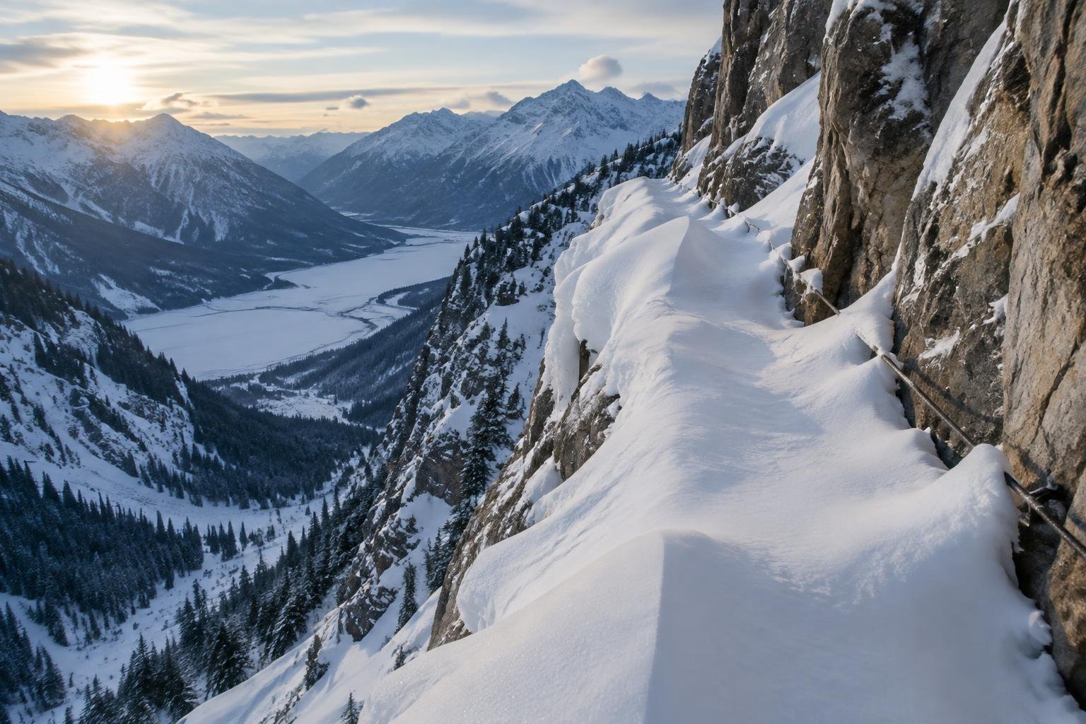
Month-by-month climate for Glacier — Highline Trail
| Month | Relative warmth | Rain | Daylight |
|---|---|---|---|
| Jan | Coldest | 103 mm | 8.5 h |
| Feb | Coldest | 101 mm | 9.9 h |
| Mar | Coldest | 102 mm | 11.6 h |
| Apr | Mild | 86 mm | 13.4 h |
| May | Warm | 97 mm | 15 h |
| Jun | Warmest | 120 mm | 15.9 h |
| Jul | Warmest | 32 mm | 15.6 h |
| Aug | Warmest | 42 mm | 14.2 h |
| Sep | Warmest | 57 mm | 12.3 h |
| Oct | Mild | 90 mm | 10.5 h |
| Nov | Cool | 121 mm | 8.9 h |
| Dec | Coldest | 114 mm | 8.1 h |
Modelled regional averages for 2010–2023 (rainfall) and calculated daylight hours; they describe the wider area, not a reading taken on the trail. “Relative warmth” compares each month with the warmest and coldest months of this place’s own year. It is not a temperature, and the high parts of a route are colder than the region around them.
The regional averages show a clear dry window. July is the driest month at about 32 mm, followed by August at 42 mm and September at 57 mm, while June is the wettest of the warm months at 120 mm. Daylight swings from roughly 8 hours in December to nearly 16 hours in June, and still runs about 12 hours in late September. June through September are the warmest months of this place's own year, while December through March are the coldest. These are modelled regional figures, not trail measurements, so treat them as a typical pattern.
Glacier — Highline Trail season by season
Winter and early spring · December to April
These are the coldest and darkest months of the year here, with daylight between roughly 8 and 13 hours and rainfall averaging about 100 mm a month through the winter. The official season guidance points to July to September, when Logan Pass is open, so this is not a window for the Highline. Confirm current access and conditions with the National Park Service rather than assuming anything about the route in these months.
Late spring and early summer · May to June
Warmth builds through May and June, which are warm and warmest relative to the rest of the year, and daylight stretches to about 15 to 16 hours. June is also the wettest of the warmer months at about 120 mm on average. The official season guidance starts in July, so these months sit outside the recommended window. Check with the park about conditions before planning around them.
Peak season · July to September
This is the window the official season guidance recommends, when Logan Pass is open. The numbers fit: July averages only about 32 mm of rain, August about 42 mm and September about 57 mm, all in the warmest stretch of this place's year. Daylight is generous, about 15.6 hours in July and still around 12 hours by late September, which gives you room for an unhurried day hike along the Garden Wall.
Autumn · October to November
Conditions turn from mild in October to cool in November, and rainfall climbs back to about 90 mm and then 121 mm on average. Daylight drops to roughly 10.5 hours and then under 9, so a long day hike leaves little margin. These months fall outside the official July to September window, so check the National Park Service for current access and conditions before relying on them.
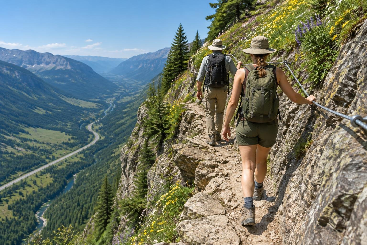
Official season guidance
U.S. National Park Service: July to September, when Logan Pass is open
No permit is needed to day hike the Highline, but check the park for whether a vehicle reservation applies to Going-to-the-Sun Road this season. This is prime grizzly habitat — carry bear spray and know how to use it.
Check current dates on nps.gov/glacWhat to pack for the season
Packing should follow the season you choose. Even in the peak window, carry layers and rain cover, since rainfall is never zero, along with sun protection for exposed ground. Bring a headlamp, because late-season daylight shrinks quickly. The permits text also calls for bear spray here, and you should know how to use it.
For layering, rain cover and weather planning, see hiking in rain, heat and cold.
Timing mistakes to avoid
The biggest mistake is treating the driest numbers as the whole story. The official season guidance ties the hiking window to Logan Pass being open, so check that with the managing authority rather than picking a month from a chart. Another is assuming a permit is the only rule. Confirm with the park whether a vehicle reservation applies to Going-to-the-Sun Road this season. Finally, don't plan a long day around early-season or late-season daylight.
Common questions
When is the best time to hike the Highline Trail?
The official season guidance says July to September, when Logan Pass is open. The modelled data agrees, showing July as the driest month at about 32 mm of rain and the warmest months of the year running through September. Always confirm current conditions with the National Park Service.
Which month is driest on the Highline?
On the modelled regional average, July is the driest month at about 32 mm, followed by August at about 42 mm. These are typical figures for the wider region, not measurements taken on the trail, so weather on any given day can still differ.
How much daylight will I have for the hike?
Daylight is longest in early summer, about 15.9 hours in June and 15.6 in July. It falls to about 14.2 hours in August and about 12.3 in September. Plan your start time around the shorter days if you hike late in the season.
Do I need a permit or reservation to day hike the Highline?
No permit is needed to day hike the Highline, according to the supplied rules text. However, check with the park about whether a vehicle reservation applies to Going-to-the-Sun Road this season, since that can affect access. Rules change, so confirm with the National Park Service.
Sources
- U.S. National Park Service — nps.gov/glac: official season and permit guidance.
- NASA POWER (Prediction Of Worldwide Energy Resources): monthly temperature and rainfall averages, 2010–2023, from MERRA-2 reanalysis. Daylight hours are calculated from latitude.
Conditions, closures and permit rules change without notice — confirm current information with the managing authority before you go. See our editorial policy and affiliate disclosure.