
Affiliate disclosure: this page contains affiliate links. Purchases made through them may earn us a commission at no extra cost to you. See our affiliate disclosure.
In plain English
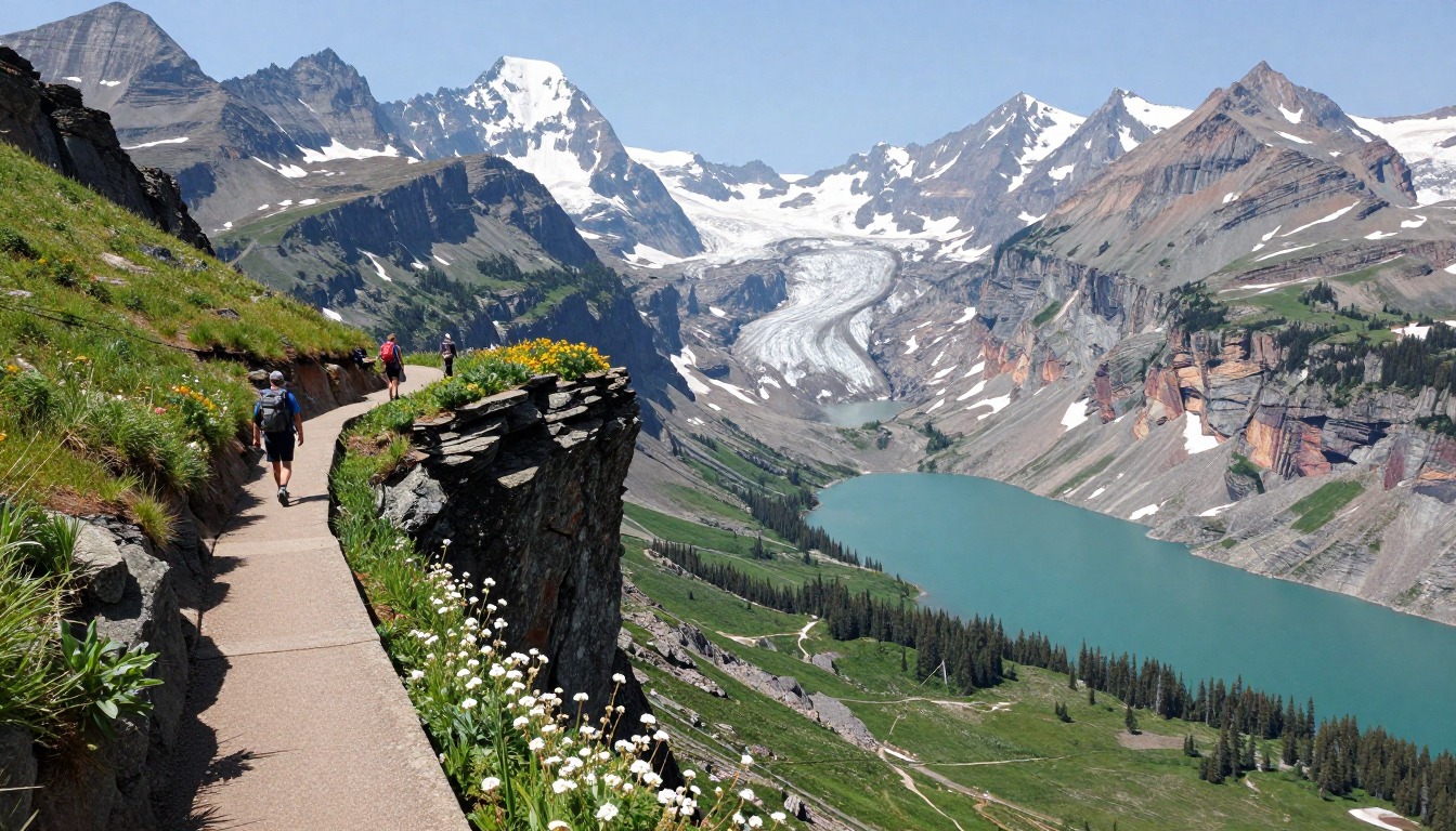
The Highline Trail runs along the side of a mountain wall high in Glacier National Park, Montana. It starts at Logan Pass on a famous road and follows a narrow ledge with a cable to hold on to, then becomes a long, gentle path through meadows with huge views.
Most people ride a shuttle bus to the start and another back from the finish, because the trail ends a long way from where it begins. The park says the shuttles are changing in 2026, so check how they work before you go.1
Grizzly bears live here. Hikers carry bear spray, a strong pepper spray for bears, clipped where they can grab it fast.3 The end of the hike is a long walk downhill with little shade, which is hard on the knees and on your water supply. Bring more water than you think.
What the hike is like
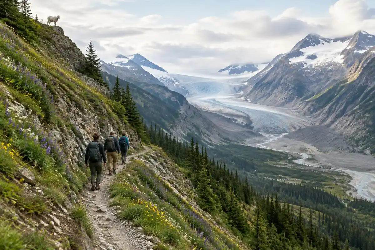
The Highline announces itself in the first few minutes. Almost straight off Logan Pass the trail becomes a narrow ledge cut into the Garden Wall, with a cable bolted along the rock face to hold and the road visible far below on the open side. That section is short. After it, the trail settles into a long, mostly gentle traverse that contours along the Continental Divide, rising and falling in modest increments through alpine meadow, scree and rockfall debris, with occasional snowfields that persist across the tread well into summer. There is a steep, rough side spur climbing to an overlook on the Divide for those who want it. Past Granite Park Chalet the route changes character completely, turning downhill for a long, sustained descent of switchbacks through old burn toward Going-to-the-Sun Road, with almost no shade.
How to plan the itinerary
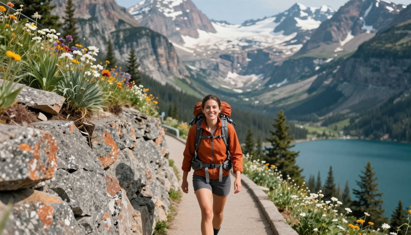
The standard plan is point to point and downhill: ride the shuttle up to Logan Pass, walk the traverse, descend to the road, and catch the shuttle back to your car. Doing it in that direction means the exposed ledge comes early, while you are fresh, and the long descent finishes it. Some hikers turn it into an out-and-back to the chalet and back to the pass, which avoids the shuttle timetable altogether. A smaller number book a night at the hike-in chalet and split the route over two days, which leaves time for the overlook spur without watching the clock. Glacier has said its shuttles will work differently in 2026, so check the park's current Logan Pass information before planning a point-to-point day. Whichever shape you choose, the last shuttle of the day is the real deadline, and building in a buffer for wildlife stops and slow going on snow is sensible.
Plan this trip in 5 steps
-
Pick the right pack
Match a pack to your trip, fit and priorities.
-
Plan food & water
Calories, food weight and water for your days on trail.
-
Estimate your time
Pre-filled with this trail’s distance and climb — adjust for your pace.
Trail-specific tips
The opening ledge intimidates people more than it should, but the cable is there for reassurance rather than hauling, and it is over quickly. The section that actually causes trouble is the lingering snow across the traverse, where a slip has nowhere good to go; if the snowfields look steep or hard, turning back is the correct call. This is prime grizzly habitat with blind corners in tall brush, so noise and group discipline matter. Save energy for the descent, which is longer and hotter than the traverse suggests. For bear safety, see /trail-smarts/.
Permits & rules
No permit is needed to day hike the Highline, but check the park for whether a vehicle reservation applies to Going-to-the-Sun Road this season. This is prime grizzly habitat — carry bear spray and know how to use it.
Gear suited to this hike
Matched to the terrain and conditions here. Real products — check current price on Amazon.


Shuttles, crowds and conditions in 2026
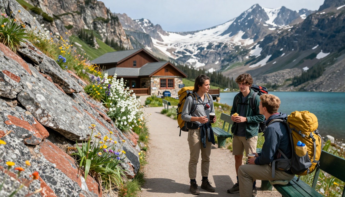
The park's official site says Glacier is extremely busy during the summer, that the shuttles in 2026 will look different from previous years, and points visitors to a Logan Pass 2026 FAQ. It adds that road conditions are constantly changing and that the current conditions page covers wildfires, roads, trails and construction.1 The page above says a timed vehicle reservation is often required for Going-to-the-Sun Road; the official home page does not spell out 2026 vehicle rules, so confirm them through the park's Logan Pass and road status pages before planning a point-to-point day.
On backpacking, the park's line is that Glacier is a great place to backpack if you are prepared to be flexible, which also describes the day-hike logistics: have a plan for an out-and-back from Logan Pass if the shuttle plan falls apart.1
Why a Moderate trail still tires people out
The Shenandoah formula uses only elevation gain.2 For the page's 11.6 miles and 800 feet of gain it scores about 136, Moderately Strenuous on the NPS scale, but the route also loses about 3,000 feet, most of it in the final sustained descent. Descents strain knees and quads in a way no gain-based score captures.
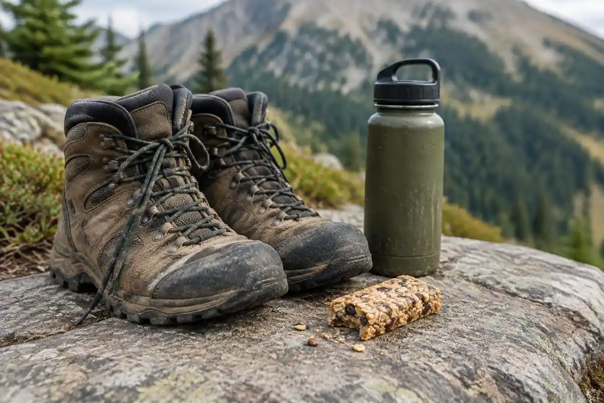
The University of Utah's GPS study found people move fastest on a slightly downhill slope, but slower on steep ones.6 The practical result on the Highline is a quick, pleasant traverse followed by a slower descent than expected, often in afternoon heat with no shade. Budget water for that last stretch, not just for the traverse.
Bear country, snowfields and what goes where in the pack
The NPS says to buy EPA-approved bear spray, use it when a charging bear is within 60 feet, and notes wind, rain and cold reduce spray distance.3 The Interagency Grizzly Bear Committee says most sprays reach 20 to 30 feet.7 A holster on the hip belt or shoulder strap is the only place it is fast enough to use. The U.S. Fish and Wildlife Service advises staying at least 100 yards from bears and traveling in groups of three or more.8 If attacked by a grizzly, the NPS says to play dead face down with hands behind your neck.9
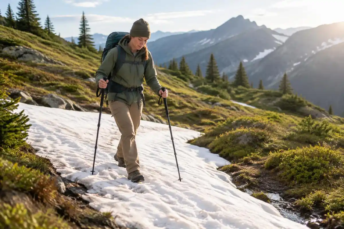
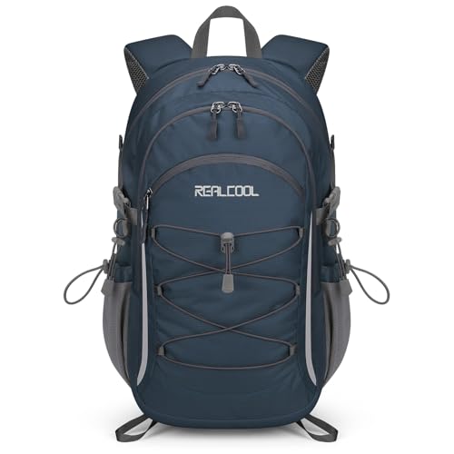
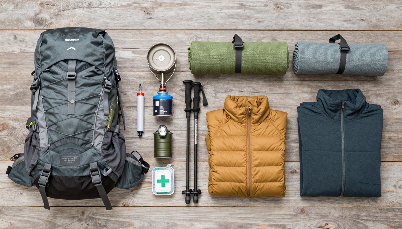
Snow persists across the traverse into summer. The CDC notes snow reflects UV and increases exposure, and recommends SPF 30 or higher reapplied every 2 to 4 hours.4 The open traverse is also a poor place in a thunderstorm; the NWS advises being off exposed high ground early and avoiding ridge tops.10 A 25–30 L pack holds a warm layer, rain shell, sun gear and at least two liters of water without crowding the spray off your belt.5
Common questions
How exposed is the cable section at the start?
It is a narrow ledge with a long drop on one side and a fixed cable at hand height for confidence. The tread itself is walkable and it does not last long. Hikers with a real fear of heights sometimes turn around there, which is entirely reasonable, but most people find it far less alarming in person than in photos.
Do I need to take the shuttle?
Only if you walk the route point to point, which is how most people do it, since you finish a long way from where you started. The alternative is an out-and-back from Logan Pass, which needs no shuttle at all. Parking at Logan Pass fills very early, so the shuttle is often the easier choice regardless.
When is the trail actually clear of snow?
Later than the calendar suggests. The route generally becomes reliably walkable once the high country opens, roughly midsummer through early autumn, and steep snowfields can persist across the traverse even then. Check current trail status with the park before you go, and be prepared to shorten the day if the snow is firm.
Is the Highline suitable for a fit beginner?
The walking is not technically difficult, and the traverse is gentler than its reputation. What makes it demanding is the overall length, the sustained descent at the end, the exposure at the start and the seriousness of being in bear country in remote terrain. A fit beginner comfortable with heights can manage it with an early start.
Complete gearsets for this trip
Full curated kits built for exactly this kind of hike.

Trail conditions, permits and access rules change without notice — always confirm current information on the official source above before you go. Some facts on this page are still pending owner verification and are marked accordingly. Product links and the accommodation map are affiliate links: we may earn a commission at no extra cost to you; product prices and availability are shown on Amazon, and accommodation prices on the booking site. See our affiliate disclosure.