
Best Time to Hike West Coast Trail
The best time to hike West Coast Trail is May to September, the window Parks Canada keeps the route open. Outside those months the trail is closed. Within the season, July and August are typically the driest, with the longest days, though you should still prepare for rain on this coast.
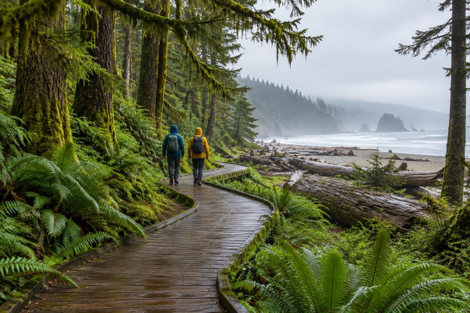
Month-by-month climate for West Coast Trail
| Month | Relative warmth | Rain | Daylight |
|---|---|---|---|
| Jan | Coldest | 295 mm | 8.5 h |
| Feb | Coldest | 173 mm | 9.9 h |
| Mar | Coldest | 194 mm | 11.6 h |
| Apr | Cool | 146 mm | 13.4 h |
| May | Warm | 73 mm | 15 h |
| Jun | Warm | 77 mm | 15.9 h |
| Jul | Warmest | 49 mm | 15.5 h |
| Aug | Warmest | 57 mm | 14.2 h |
| Sep | Warmest | 110 mm | 12.3 h |
| Oct | Mild | 195 mm | 10.5 h |
| Nov | Cool | 283 mm | 8.9 h |
| Dec | Coldest | 281 mm | 8.1 h |
Modelled regional averages for 2010–2023 (rainfall) and calculated daylight hours; they describe the wider area, not a reading taken on the trail. “Relative warmth” compares each month with the warmest and coldest months of this place’s own year. It is not a temperature, and the high parts of a route are colder than the region around them.
The modeled numbers show a sharp wet-dry split. July is the driest month on average at about 49 mm, with August near 57 mm, while January reaches roughly 295 mm and November and December both exceed 280 mm. Daylight swings from about 8.1 hours in December to nearly 16 hours in June, which matters for tide-dependent days. Relative to this place's own year, July through September are the warmest months and December through March the coldest. These are regional averages, not trail measurements.
West Coast Trail season by season
Late spring · May to June
The trail season opens in May, and the numbers show a clear improvement: rainfall falls to roughly 73 mm in May and 77 mm in June, down from 146 mm in April. Daylight is long, around 15 to nearly 16 hours, which gives generous margins for tide-limited sections. These months are warm relative to this place's year, though not the warmest. Rain remains possible, so treat the drier averages as a tendency, not a promise.
Peak summer · July to August
These are typically the driest and warmest months of the open season, with average rainfall around 49 mm in July and 57 mm in August. Daylight is still long, about 15.5 hours in July and 14.2 in August. That tends to make this the most reliable window for steady conditions, but it is also when demand is highest. Because Parks Canada manages the route with reservations, quotas and an orientation, check the current rules and book early.
Early autumn · September to October
September is still among the warmest months relative to this place's year, but rainfall climbs to about 110 mm on average and daylight shortens to roughly 12.3 hours. The official season guidance runs through September, and the trail is closed after that, so October is not an option for this route. If you plan a September trip, allow extra margin for wetter weather and shorter days on tide-dependent stretches.
Closed season · November to April
The trail is closed off-season, and the modeled climate shows why this is a poor time to consider it. From November through January rainfall averages roughly 280 to 295 mm per month, and daylight drops to about 8 to 9 hours. April is cool and still receives around 146 mm. Because the managing authority closes the route in these months, use them for planning, tide-table study and permit reservations, not for hiking.
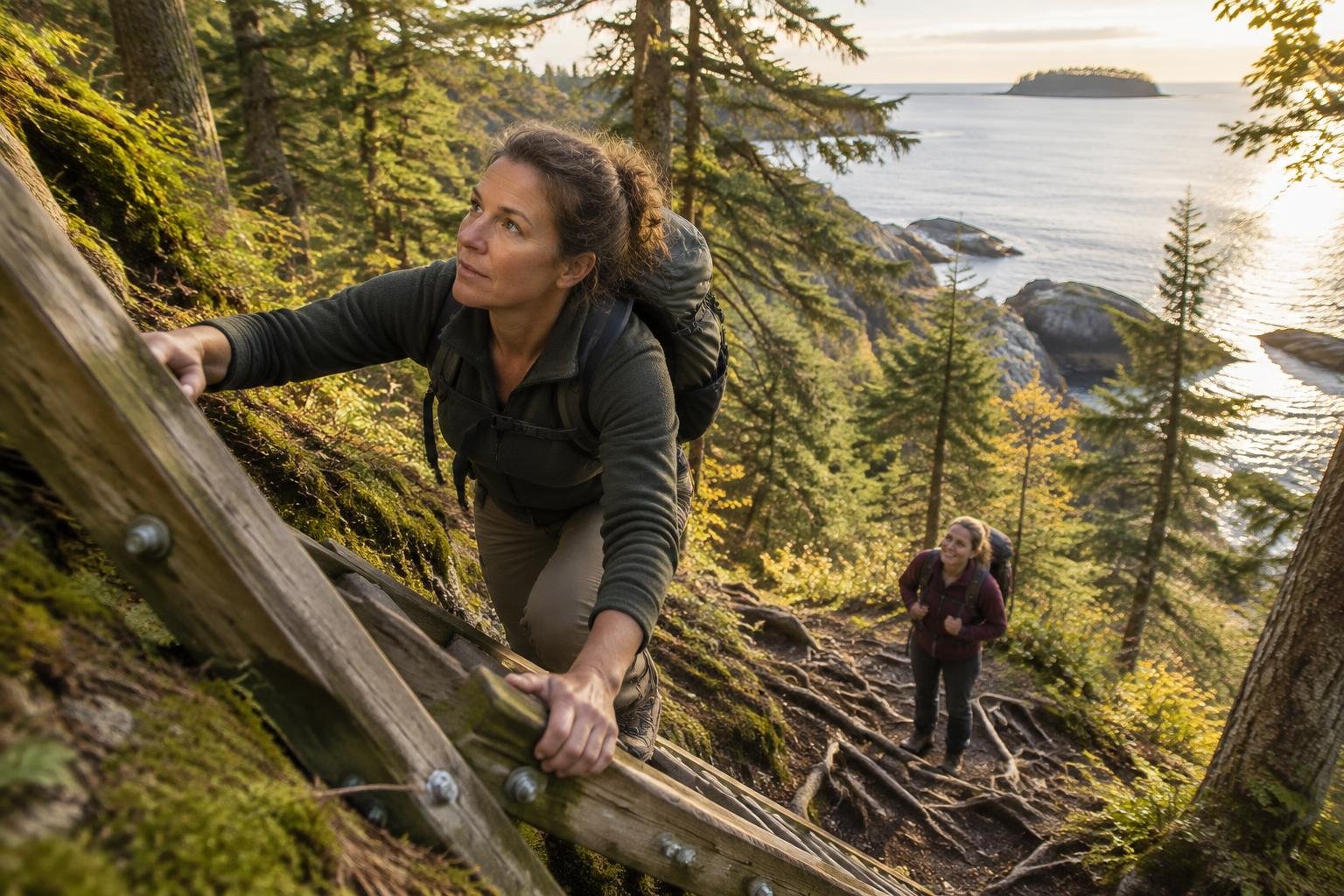
Official season guidance
Parks Canada: May to September; the trail is closed off-season
The West Coast Trail requires a Parks Canada overnight reservation and permit (plus trail-use and ferry fees), and involves fees, quotas and an orientation — check Parks Canada for the current rules. It is a serious, tide-dependent wilderness route — read the tide tables and closures, and check Parks Canada’s current wolf notice (closures and a ban on dogs).
Check current dates on parks.canada.caWhat to pack for the season
Packing should follow the wet-dry pattern even in the open season. Bring dependable rain protection for body and pack, layers you can add or shed as conditions shift, and sun protection for the long, bright days of early summer. Because daylight varies by month, carry a headlamp, especially if tides push your start or finish late. Waterproof storage for sleeping gear is worth the extra thought.
For layering, rain cover and weather planning, see hiking in rain, heat and cold.
Timing mistakes to avoid
The most common timing mistake is treating the season as a guarantee of dry weather. Even July, the driest month on average, is a regional average, not a forecast for your days on the trail. Another is planning around weather alone and forgetting that Parks Canada requires a reservation and permit, with quotas and an orientation. Finally, this is a tide-dependent route, so choose dates with the tide tables and closures in mind, and check the current notices before you go.
Common questions
What months is the West Coast Trail open?
The official season guidance is May to September, and the trail is closed off-season. Because dates, quotas and closures can change, confirm the current opening and closing details with Parks Canada before building a plan or making a reservation.
Which month is driest on the West Coast Trail?
Modeled regional averages show July as the driest month at about 49 mm, followed by August at roughly 57 mm. These are averages, not forecasts, so rain is still possible. Pack waterproof protection regardless of when you hike.
Is September a good time to hike it?
September is the last month of the season and is among the warmer months relative to this place's year, but average rainfall rises to about 110 mm and daylight shortens to roughly 12.3 hours. It can work, but allow extra margin for wetter conditions and shorter days.
Does daylight matter when picking dates?
Yes. Daylight is about 15 to 16 hours in late spring and early summer but drops to roughly 12 hours by September. Because this is a tide-dependent route, longer days give more flexibility. Check Parks Canada's tide information and closures when you choose your dates.
Sources
- Parks Canada — parks.canada.ca: official season and permit guidance.
- NASA POWER (Prediction Of Worldwide Energy Resources): monthly temperature and rainfall averages, 2010–2023, from MERRA-2 reanalysis. Daylight hours are calculated from latitude.
Conditions, closures and permit rules change without notice — confirm current information with the managing authority before you go. See our editorial policy and affiliate disclosure.