
Hikes in Canada
Hikes in Canada, as represented by these four routes, range from a moderate out-and-back in the Canadian Rockies to a difficult 75 km point-to-point on Vancouver Island. Route types include out-and-back, loop and point-to-point, and official seasons generally run from May or June into September or October, with snow lingering at elevation.
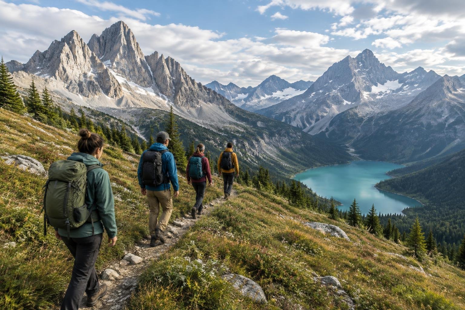
These four Canadian hikes span three provinces and a wide spread of effort, from a moderate Rockies day out to a technical multi-day coastal route. Two are managed by Parks Canada in Alberta and Newfoundland, one by BC Parks in the Coast Mountains, and one by Parks Canada on Vancouver Island. Together they cover out-and-back, loop and point-to-point formats, so the collection suits anyone comparing mountain, glacier-view and coastal trips across the country.
The routes at a glance
-
Banff — Plain of Six Glaciers & Lake Louise · Canadian Rockies · Alberta, Canada
This out-and-back route in Banff covers 14.2 km (8.8 mi) round-trip with about 591 m (1,940 ft) of climbing, starting from Lake Louise. It is rated moderate, though the upper switchbacks are moderately strenuous, and it suits hikers who want a Rockies day trip without a very long route. Parks Canada manages the area.
- Distance
- 14.2 km (8.8 mi) round-trip
- Difficulty
- Moderate (moderately strenuous in the upper switchbacks)
- Official season
- June to September; snow lingers on higher trails into early summer
-
Garibaldi Lake & Panorama Ridge · Coast Mountains · British Columbia, Canada
Starting at the Rubble Creek trailhead, this out-and-back covers about 30 km (18.6 mi) and passes Garibaldi Lake on the way to Panorama Ridge. As a single day it is strenuous; breaking it into an overnight at Garibaldi Lake or Taylor Meadows campground makes it moderate. BC Parks manages it.
- Distance
- ~30 km (18.6 mi) round-trip from the Rubble Creek trailhead (day-hike to Panorama Ridge, passing Garibaldi Lake en route)
- Difficulty
- Strenuous / difficult as a single day; moderate if broken into an overnight from Garibaldi Lake or Taylor Meadows campground
- Official season
- Typically July to October, once the snow melts (snow can linger into summer)
-
Gros Morne · Atlantic Canada · Newfoundland, Canada
Gros Morne is a 17 km (10.6 mi) loop with roughly 1,000 m (3,280 ft) of elevation gain, rated difficult by Parks Canada. It suits fit, experienced hikers comfortable with a sustained climb. Gros Morne Mountain is closed to hikers from May 1 until June 28, so plan around that window.
- Distance
- 17 km (10.6 mi) loop
- Difficulty
- Difficult (Parks Canada rating)
- Official season
- Late June to September; Gros Morne Mountain is closed to hikers from May 1 until June 28
-
West Coast Trail · Vancouver Island · British Columbia, Canada
The West Coast Trail is a 75 km (46.6 mi) point-to-point route on Vancouver Island, rated difficult and very strenuous. It is technical, with ladders, cable cars, tidal shelf sections and river crossings, so it suits experienced, well-prepared backpackers. Parks Canada manages it, and the trail is closed off-season.
- Distance
- 75 km (46.6 mi) point-to-point
- Difficulty
- Difficult / very strenuous (technical: ladders, cable cars, tidal shelf sections and river crossings)
- Official season
- May to September; the trail is closed off-season
How to choose between them
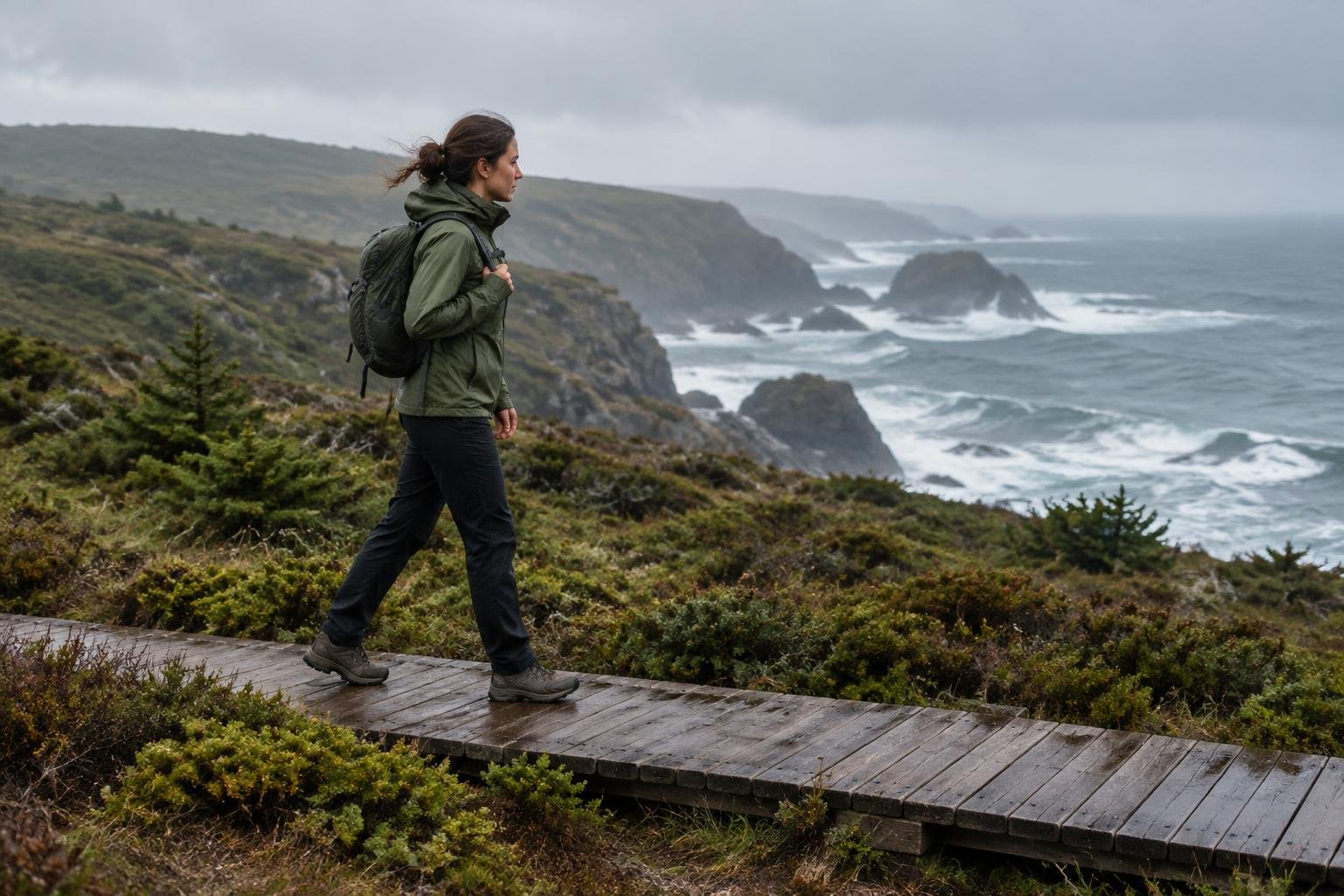
Start with effort and time. Banff's Plain of Six Glaciers and Lake Louise route is the most approachable, rated moderate at 14.2 km round-trip. Gros Morne is a difficult 17 km loop with about 1,000 m of climbing, while Garibaldi Lake and Panorama Ridge is strenuous in a day but moderate as an overnight. The West Coast Trail is the biggest commitment: 75 km point-to-point with ladders, cable cars and river crossings. Check route type too, since loops, out-and-backs and point-to-points need different logistics. Confirm permit and access requirements with Parks Canada or BC Parks before you commit.
When to go
Official seasons in this collection cluster in summer. Banff's route runs June to September, with snow lingering on higher trails into early summer. Gros Morne runs late June to September, and the mountain is closed to hikers from May 1 until June 28. Garibaldi Lake and Panorama Ridge is typically July to October once the snow melts. The West Coast Trail is open May to September and closed off-season. Always confirm current dates and conditions with Parks Canada or BC Parks.
Common questions
Which of these Canadian hikes is the most approachable?
Banff's Plain of Six Glaciers and Lake Louise route is rated moderate, at 14.2 km (8.8 mi) out-and-back with about 591 m of gain. The upper switchbacks are moderately strenuous, so it still takes some effort.
Which routes are the hardest?
Gros Morne is rated difficult by Parks Canada, and the West Coast Trail is described as difficult and very strenuous. Garibaldi Lake and Panorama Ridge is strenuous as a single day, though moderate when split into an overnight.
Which of these hikes can be done as an overnight?
Garibaldi Lake and Panorama Ridge can be broken into an overnight from Garibaldi Lake or Taylor Meadows campground, which makes it moderate. The West Coast Trail is a 75 km point-to-point route, so it is planned as a multi-day trip.
When is the best time to hike these routes?
Official seasons run roughly May or June through September, with Garibaldi typically July to October. Snow can linger at elevation, and Gros Morne Mountain is closed until June 28. Confirm dates with the managing authority.
Sources
Facts come from each route's official managing authority, linked on its trail guide:
- Parks Canada — parks.canada.ca (Banff — Plain of Six Glaciers & Lake Louise)
- BC Parks — bcparks.ca (Garibaldi Lake & Panorama Ridge)
- Parks Canada — parks.canada.ca (Gros Morne)
- Parks Canada — parks.canada.ca (West Coast Trail)
Conditions, permits and access rules change without notice — confirm current information with each managing authority before you go. See our editorial policy.