
Affiliate disclosure: this page contains affiliate links. Purchases made through them may earn us a commission at no extra cost to you. See our affiliate disclosure.
In plain English
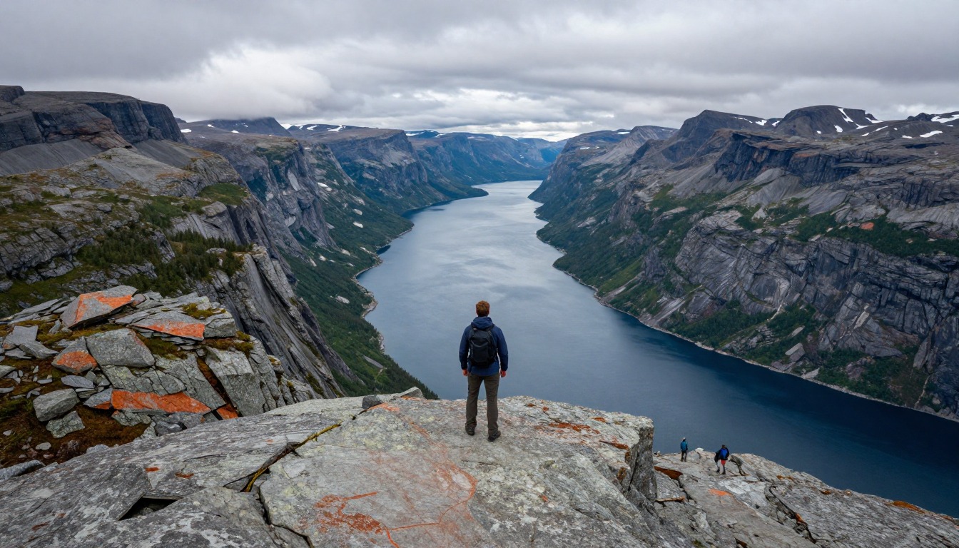
Gros Morne National Park in Newfoundland has two very different signature outings. One is a hard climb up Gros Morne Mountain, the highest point in the park. The other is a flat walk to Western Brook Pond, a lake walled in by huge cliffs that you see by boat.
Parks Canada calls the mountain hike a challenging one-day, 17 km loop.1 It also closes the mountain to hikers every spring, from May 1 until June 28, to protect wildlife.1 If your trip is in early June, you may not be allowed up at all.
The top of the mountain is flat, open and windy, and cloud can roll in quickly. When that happens it can feel like walking inside a glass of milk. Bring warm layers, a rain jacket and a map, and be ready to turn around if you cannot see where you are going.
What the hike is like
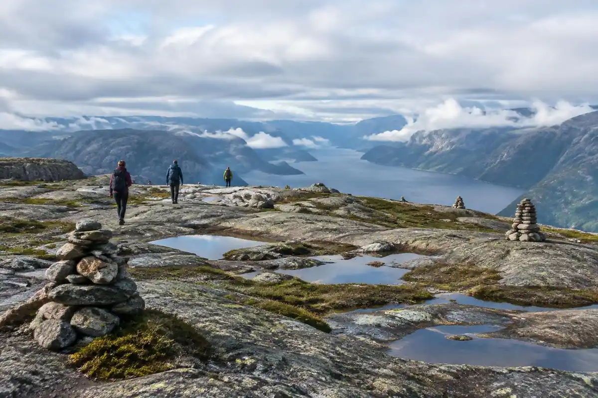
Gros Morne's two signature hikes move through completely different ground. The mountain route starts deceptively gently — a long approach across boggy forest floor on boardwalk and gravel to the base of the peak — then changes character entirely at a steep gully of loose rock and boulders that you haul yourself up rather than walk. Above it the world flattens into a bare, wind-scoured summit plateau of gravel and low tundra, and the way down is a long, exposed traverse across the barrens behind the mountain before the loop closes. The Western Brook Pond experience is the opposite: an easy, level walk over bog boardwalk to the water, then a boat ride deep into a landlocked fjord walled by cliffs, with rough, unmaintained backcountry walking available for those continuing beyond the far shore.
How to plan the itinerary
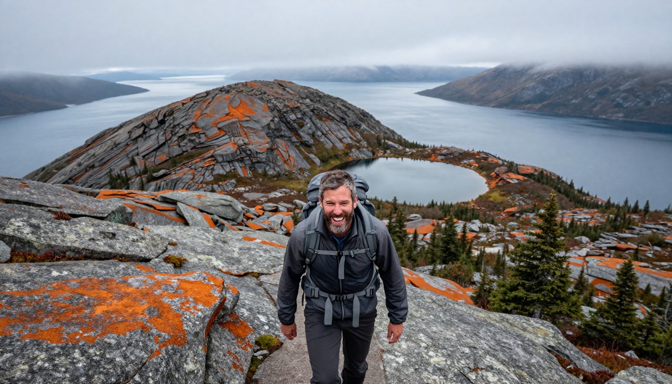
Treat these as two separate outings rather than trying to stack them. The mountain loop is a committing full day, generally walked in one direction only because of the steep gully, so hikers start early and plan for the descent across the open barrens taking longer than they'd guess. Western Brook Pond works as a relaxed half-day built around the boat departure — the walk to the dock is short, but the timing of the boat sets your whole schedule, so most people plan the rest of the day around it. A third short outing on the Tablelands' bare rust-colored rock fills an afternoon and gives the geology context the rest of the park is built on. A rest or weather day between the two big ones is sensible in a region where fog arrives without warning.
Plan this trip in 5 steps
-
Pick the right pack
Match a pack to your trip, fit and priorities.
-
Plan food & water
Calories, food weight and water for your days on trail.
-
Estimate your time
Pre-filled with this trail’s distance and climb — adjust for your pace.
Trail-specific tips
Parks Canada closes Gros Morne Mountain to hikers from May 1 and reopens it on June 28 each year to protect wildlife, so confirm the dates before building a trip around the summit. The boggy approach stays wet long after dry weather — waterproof footwear and gaiters save a miserable day. The gully is loose: spread out rather than stacking up directly beneath other hikers, and don't try to descend it. Up on the plateau and the barrens there's no shelter and no shade, and weather can turn in minutes, so carry a wind layer regardless of the forecast. See /trail-smarts/ for navigation in low visibility.
Permits & rules
No hiking permit is needed (a park entry pass is required). Gros Morne Mountain (a 17-km loop) is closed to hikers from May 1 and reopens on June 28 to protect wildlife; the famous Western Brook Pond gorge is reached by a boat tour across the pond.
Gear suited to this hike
Matched to the terrain and conditions here. Real products — check current price on Amazon.


Loop or out-and-back? What the park actually says
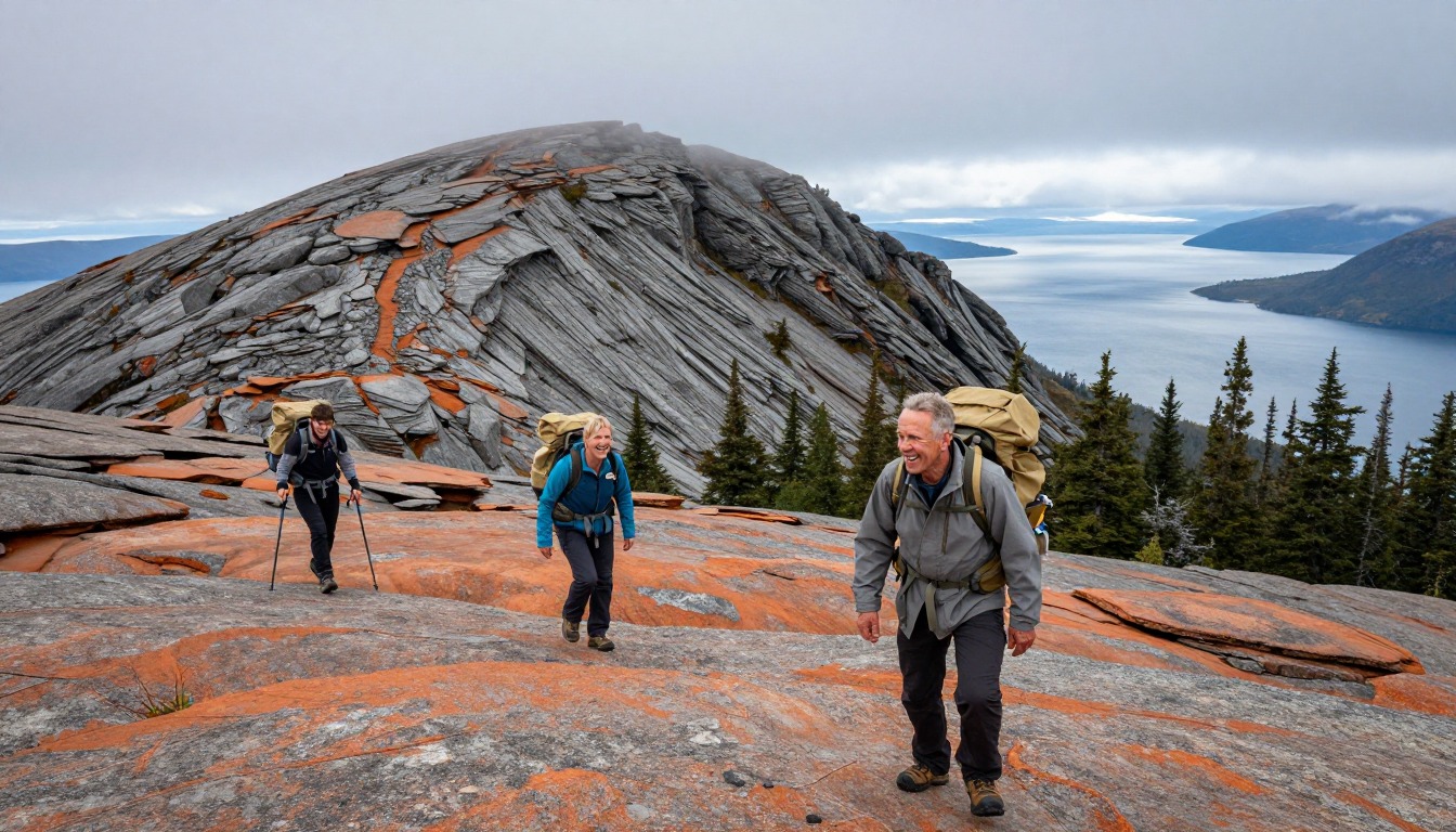
Parks Canada describes the Gros Morne Mountain hike as a challenging, one-day, 17-kilometre loop to the park's highest point.1 This page's trail facts label the route out-and-back, made of an approach trail plus a summit loop. Both describe the same shape: you walk in and out on the same approach, and the summit section is a one-way loop. For planning, the park's framing is the useful one, because once you are above the gully the quickest way down is usually to finish the loop rather than reverse.
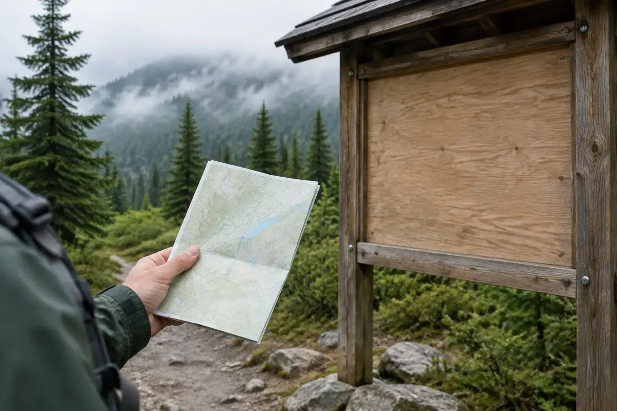
The seasonal closure matters just as much. The park says the mountain is closed to hikers beginning May 1 and reopens on June 28, to protect wildlife.1 Some sources give the best season as June to September; in practice the summit is only open from June 28, so a mid-June trip should plan on Western Brook Pond and the Tablelands instead.
Navigating the plateau when fog rolls in
The summit plateau and the barrens behind it are open ground with few features. In cloud, a compass bearing is only as good as your correction for declination, the angle between magnetic north and true north.2 It changes with location and over time, so older maps may show an outdated value;4 NOAA's calculator gives a current figure for any latitude, longitude and date.5
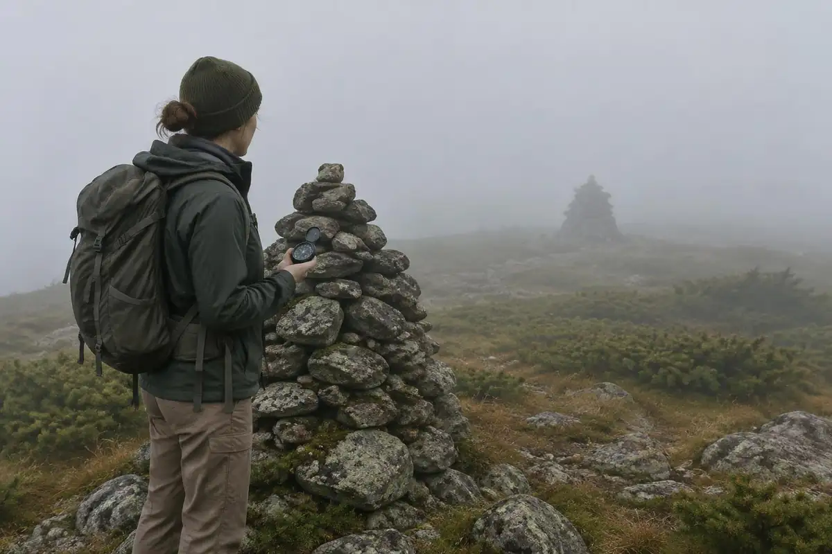
If you do lose the route, NPS advises staying put unless there is an immediate threat to life, because moving makes you harder to find, and notes a whistle carries farther than shouting and saves energy.6 Leave a trip plan with someone at home before you start.7
What the weather means for your pack
Wind off the Gulf and sudden fog make this a cold-wet risk hike even in summer. CDC says hypothermia can develop above 40°F when rain, sweat or cold water chill someone, and warns the person affected may not notice it happening.3 A 20 to 30 liter daypack with room for a warm layer, hat, gloves and a waterproof shell is a better fit than a minimalist running vest.
The approach bog and the loose rock of the gully both reward good footwear and gaiters. Kahtoola describes gaiters as sealing around footwear to keep dirt, rocks and snow out.8 The summit is also exposed high ground; NWS advises avoiding hilltops and ridges during thunderstorms and waiting 30 minutes after the last thunder before returning to exposed areas.9
For time planning, Naismith's rule of an hour per three miles plus an hour per 2,000 ft of ascent10 gives about five hours of moving time for the page's 17 km and roughly 1,000 m of gain, before breaks and slow going in the gully.
Common questions
Can I hike the Gros Morne Mountain loop in either direction?
In practice, no — the steep boulder gully is treated as an up-only route, and the loop is walked one way around for safety and erosion reasons. Follow the signed direction. It also means there's no quick way back once you've committed above the gully, which is worth factoring into your start time and your weather judgment.
Do I have to take the boat at Western Brook Pond?
The walk to the dock is a worthwhile flat stroll in its own right, and you'll see the fjord mouth without boarding. But the cliffs that make the place famous are well inside the gorge, which is water-access only, and continuing on foot beyond the far shore is rough, unmarked backcountry travel rather than a maintained trail.
What footwear do these hikes need?
Waterproof boots with solid ankle support suit both the wet approach bog and the loose rock of the gully better than trail runners do. Expect your feet to be walking on gravel, boulders, boardwalk, and saturated ground all in the same day. Gaiters are a small addition that keeps grit and water out on the barrens.
How changeable is the weather up on the plateau?
Very. The summit and the barrens behind it are fully exposed to wind coming off the Gulf, and cloud can settle over the top while the trailhead stays clear. Carry layers, a wind shell, and a way to navigate that doesn't depend on seeing landmarks, and be prepared to turn around rather than push on in whiteout conditions.
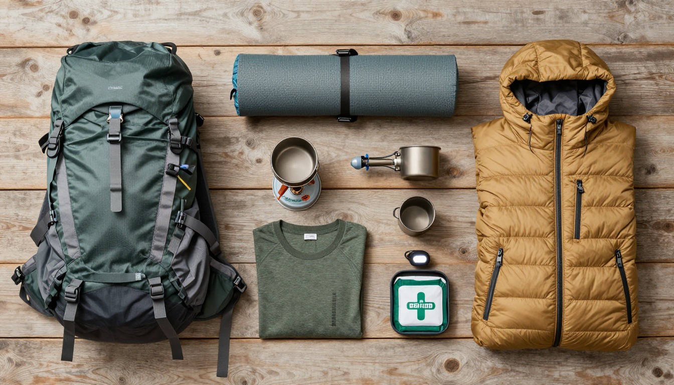
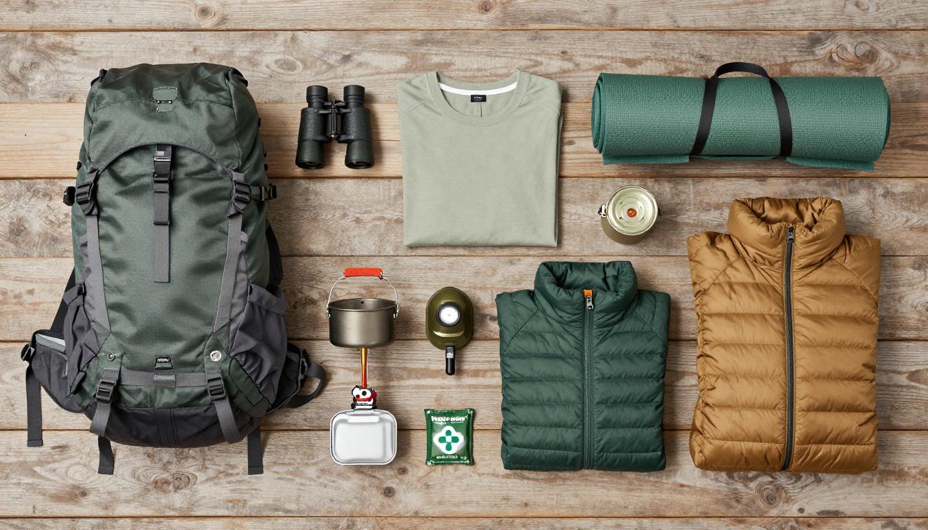
Complete gearsets for this trip
Full curated kits built for exactly this kind of hike.
Trail conditions, permits and access rules change without notice — always confirm current information on the official source above before you go. Some facts on this page are still pending owner verification and are marked accordingly. Product links and the accommodation map are affiliate links: we may earn a commission at no extra cost to you; product prices and availability are shown on Amazon, and accommodation prices on the booking site. See our affiliate disclosure.