
Best Time to Hike Eiger Trail — Grindelwald
The best time to hike the Eiger Trail is June to October, the window given in the official season guidance. These months bring the warmest conditions of the year here and long daylight, though the high Alps change quickly, so carry layers and check the mountain forecast.
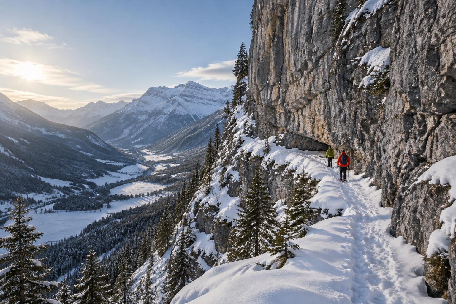
Month-by-month climate for Eiger Trail — Grindelwald
| Month | Relative warmth | Rain | Daylight |
|---|---|---|---|
| Jan | Coldest | 82 mm | 8.8 h |
| Feb | Coldest | 65 mm | 10.1 h |
| Mar | Coldest | 77 mm | 11.6 h |
| Apr | Mild | 100 mm | 13.3 h |
| May | Warm | 161 mm | 14.8 h |
| Jun | Warmest | 155 mm | 15.6 h |
| Jul | Warmest | 156 mm | 15.3 h |
| Aug | Warmest | 157 mm | 14 h |
| Sep | Warmest | 110 mm | 12.3 h |
| Oct | Warm | 121 mm | 10.6 h |
| Nov | Cool | 115 mm | 9.1 h |
| Dec | Coldest | 100 mm | 8.4 h |
Modelled regional averages for 2010–2023 (rainfall) and calculated daylight hours; they describe the wider area, not a reading taken on the trail. “Relative warmth” compares each month with the warmest and coldest months of this place’s own year. It is not a temperature, and the high parts of a route are colder than the region around them.
The modelled averages show a wet late spring and summer: May to August each typically bring about 155 to 160 mm of rain, while February is the driest month at roughly 65 mm and January and March sit near 80 mm. Daylight swings from about 8.4 hours in December to 15.6 hours in June. June through September are the relatively warmest months of this place's year, with May and October warm, April mild, November cool, and December to March the coldest. These are regional averages, not measurements at the trail.
Eiger Trail — Grindelwald season by season
Winter · December to March
These are the coldest months of this place's year, and daylight is short, falling to roughly 8.4 hours in December and only reaching about 11.6 hours by March. Rainfall is typically lower, at around 65 to 100 mm a month, but the official season guidance does not include this period, so it falls outside the recommended window. Anyone considering it should confirm current conditions and access with the regional tourism and railways authority, and plan around the limited daylight.
Spring shoulder · April to May
April is mild and May is warm relative to this place's year, and daylight grows from about 13.3 to 14.8 hours. Rainfall climbs, with roughly 100 mm in April and about 161 mm in May, the highest of any month in the modelled data. Both months sit before the official season guidance begins in June. If you are drawn to the lengthening days, expect wetter periods, and check with the managing authority about current conditions before committing.
Summer · June to September
This is the heart of the recommended window. June, July, August and September are the warmest months of this place's year, and daylight is generous, from about 15.6 hours in June to about 12.3 in September. Rain is typically still present, around 155 mm a month through August and easing to roughly 110 mm in September. Weather beneath the north face can turn quickly, so pack for changeable conditions even in the warmest weeks and check the mountain forecast.
Autumn · October to November
October is warm and still inside the official season guidance, which runs to the end of the month, with about 10.6 hours of daylight and roughly 121 mm of typical rain. November is cool and falls outside the guidance, with daylight down to about 9.1 hours and rain near 115 mm. As the days shorten, allow more time to finish before dark, and confirm conditions with the managing authority before a late-season outing.
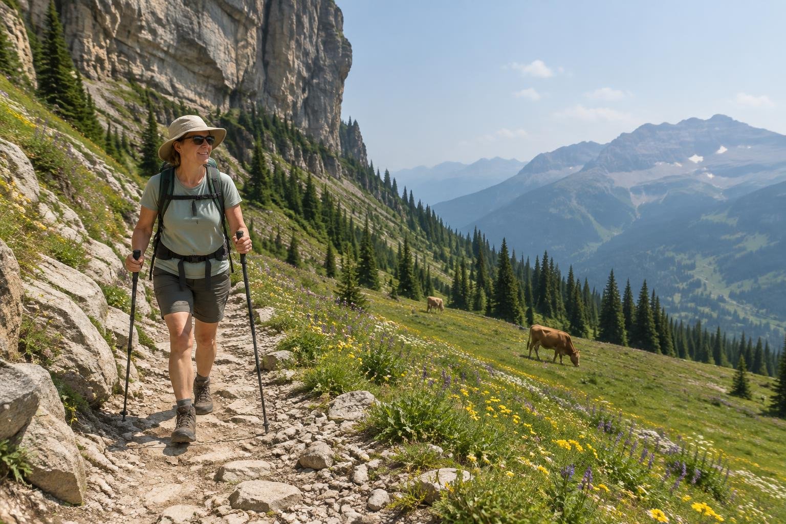
Official season guidance
Regional tourism & railways: June to October
No permit is required. The trail runs directly under the Eiger’s north face; weather turns fast in the high Alps, so carry layers and check the mountain forecast.
Check current dates on grindelwald.swiss (Grindelwald Tourism, local tourist office)What to pack for the season
Plan around layers rather than a single warm-weather outfit, since the high Alps can change fast even in summer. Carry reliable rain cover for the wetter months, sun protection for long bright days, and a headlamp for the shorter days at either end of the season. Adjust the mix to the month you choose and the forecast you see.
For layering, rain cover and weather planning, see hiking in rain, heat and cold.
Timing mistakes to avoid
A common mistake is picking a single month and ignoring the wider picture: the official season guidance runs June to October, yet May and August are among the wettest months in the modelled data. Another is assuming warm valley weather applies under the north face, where conditions turn fast and the route runs directly beneath the mountain. Avoid starting late in October or November, when daylight is far shorter, and always check the mountain forecast and managing authority guidance first.
Common questions
What is the best month to hike the Eiger Trail?
The official season guidance covers June to October, and June through September are the warmest months of this place's year. Within that window, September typically has less rain than the early summer months, but conditions vary, so check the mountain forecast and the managing authority before you go.
Is the Eiger Trail wetter in summer?
Yes, in the modelled averages. May to August each typically bring around 155 to 160 mm of rain, with September easing to about 110 mm. These are regional figures rather than trail measurements, so treat them as a guide to the pattern and still check the forecast on the day.
How much daylight can I expect?
Daylight is longest in June at about 15.6 hours and shortest in December at about 8.4 hours. In October, the end of the recommended window, it is roughly 10.6 hours, so plan an earlier start and allow extra time to finish before dark late in the season.
Do I need a permit, and does it affect timing?
No permit is required, so there is no booking to time around. The authority does note that weather turns fast in the high Alps and the trail runs directly under the north face, so carry layers, check the mountain forecast, and confirm current conditions with the regional tourism and railways authority.
Sources
- Regional tourism & railways — grindelwald.swiss (Grindelwald Tourism, local tourist office): official season and permit guidance.
- NASA POWER (Prediction Of Worldwide Energy Resources): monthly temperature and rainfall averages, 2010–2023, from MERRA-2 reanalysis. Daylight hours are calculated from latitude.
Conditions, closures and permit rules change without notice — confirm current information with the managing authority before you go. See our editorial policy and affiliate disclosure.