
Affiliate disclosure: this page contains affiliate links. Purchases made through them may earn us a commission at no extra cost to you. See our affiliate disclosure.
In plain English
Kilimanjaro is a huge mountain, and Machame is one of the paths up it. You start in wet forest, walk out onto open moorland, and finish on rocky, cold ground high above the clouds. You do not climb with ropes. You walk, day after day, going a little higher each time.
The hard part is the thin air. The higher you go, the less oxygen each breath gives you. Your body can adapt, but only if you give it time, like letting your eyes adjust when you walk into a dark room. Rush it and you can get a pounding headache, feel sick and have to turn back.
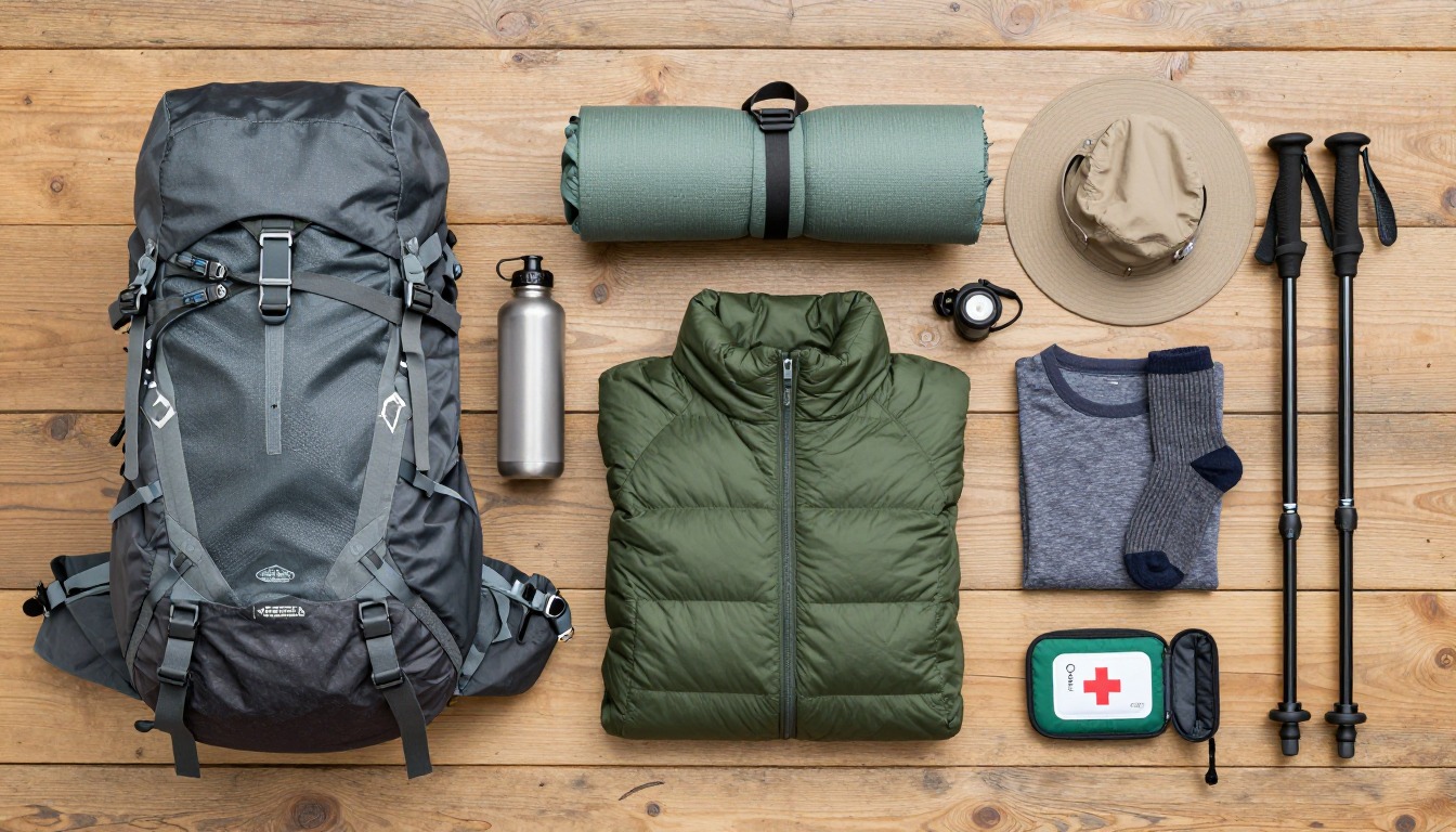
Most people go with a guide company. The crew carries the heavy bags and sets up camp. You carry a small daypack with what you need during the day: water, snacks, a warm jacket and a rain jacket. Think of it as a small survival kit you wear on your back. The weather changes quickly, so that pack matters more than it looks.
What the hike is like
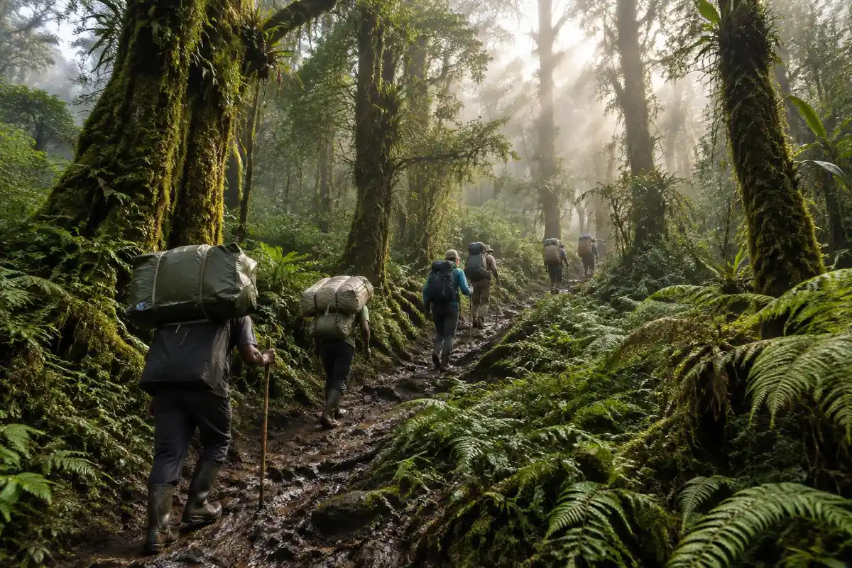
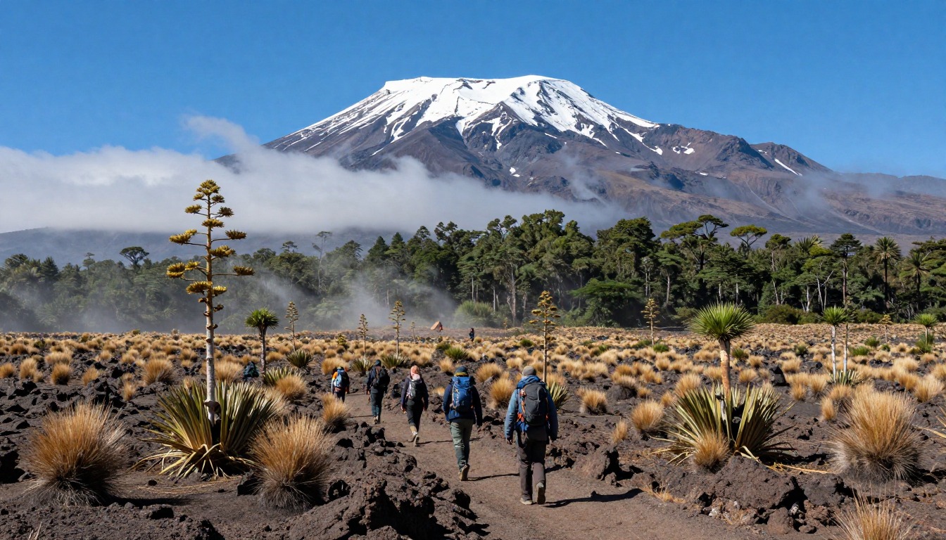
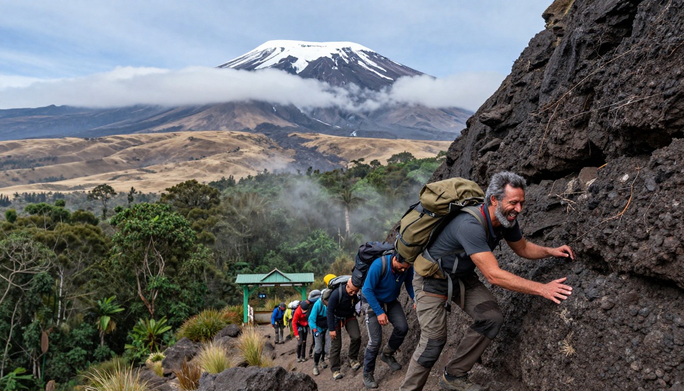
Machame's opening stage is a long, steady walk on a wide forest track that narrows into rooty single-track as the rainforest closes in — slick red clay underfoot, moss on every branch, and almost no view beyond the canopy. The trees thin surprisingly fast, and the route breaks out onto open heather and moorland where the walking turns rocky and the summit dome finally appears ahead of you. From there the character is ridges, boulder fields and broad open plateau, with the trail deliberately gaining and losing height rather than climbing in one line. The section climbers talk about most on the lower mountain is the Barranco Wall, a hands-on scramble up a rock band that looks impossible from camp and turns out to be a steep walk with a handful of genuine hand-holds.
How to plan the itinerary
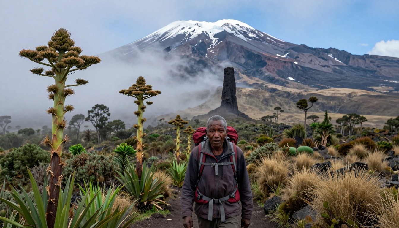
Machame is sold as a fixed guided itinerary, and the length you choose matters more than any other decision you make. Operators run the route over several days, with the longer versions adding an extra night on the mountain purely for acclimatization — that extra day is the single best thing you can buy yourself here, and longer itineraries give your body more time to adjust. Walking days through the rainforest and moorland are moderate by design, often shorter than trekkers used to covering ground quickly expect. Most itineraries also build in a classic climb-high, sleep-low day, gaining height across an open plateau before dropping back to a camp lower down. Your crew moves ahead and has camp standing when you arrive, so the day ends on arrival rather than with an hour of chores.
Plan this trip in 5 steps
-
Pick the right pack
Match a pack to your trip, fit and priorities.
-
Plan food & water
Calories, food weight and water for your days on trail.
Trail-specific tips
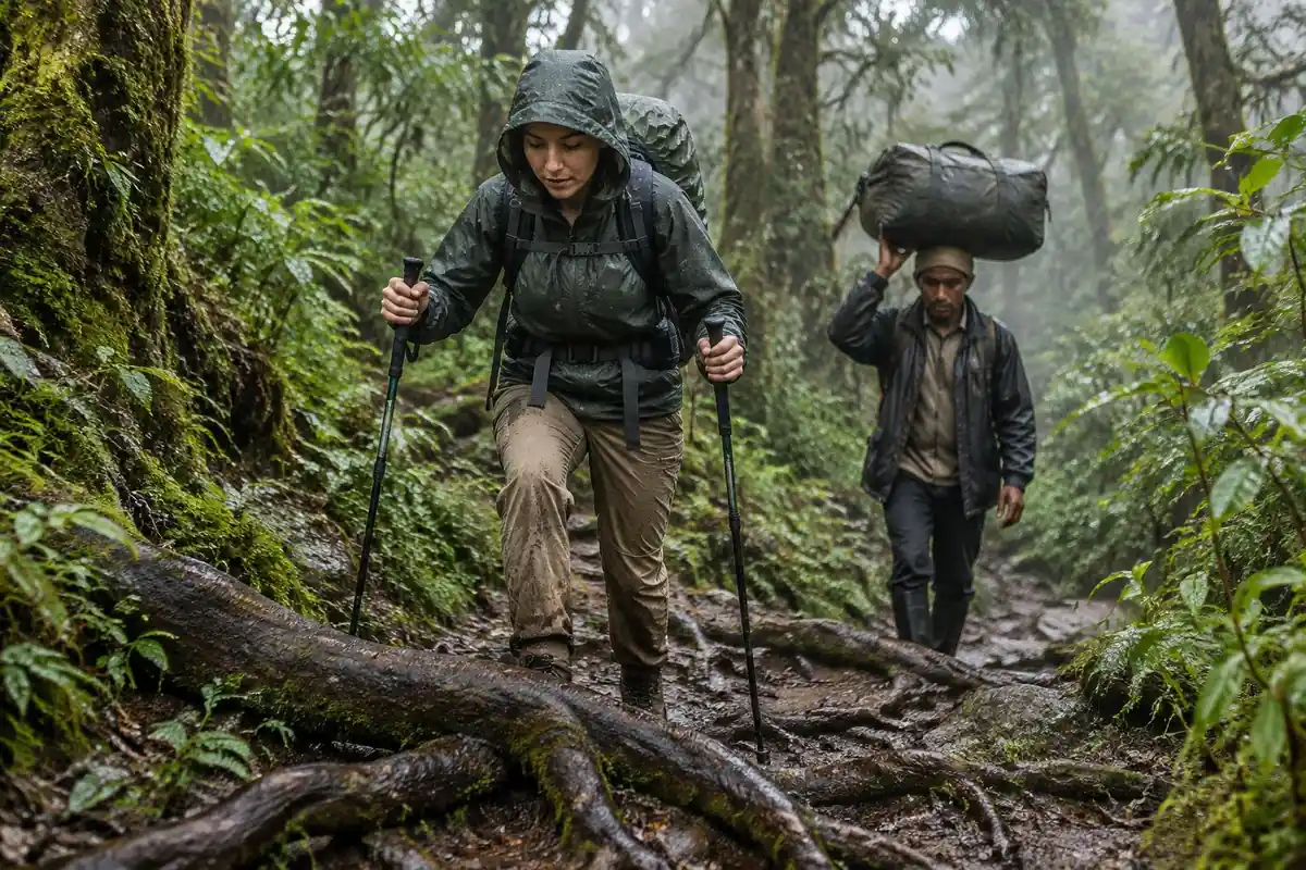
Pace is the whole game. "Pole pole" feels absurdly slow on the first morning, and the hikers who ignore it in the rainforest are usually the ones struggling by the moorland camps. Waterproof your pack and your footwear properly — the forest is wet even in the drier months, and that clay gets genuinely slippery on the way back down. Drink more than feels natural, and tell your guide honestly how you feel instead of toughing it out quietly. Break your boots in long before you fly; general layering and packing basics live on /trail-smarts/.
Permits & rules
All Kilimanjaro climbs must be booked through a licensed operator with a guide and crew, and park fees are built into the trip. The Machame route’s lower stages cross rainforest and moorland — expect rain low down and cold higher up.
Gear suited to this hike
Matched to the terrain and conditions here. Real products — check current price on Amazon.


Why the calendar beats the gym
The page says the extra night on longer itineraries is the best thing you can buy yourself. The evidence backs the direction of that advice, though not the claim that longer trips have better summit records, which none of our library sources measure. What the CDC does say is that any unacclimatized person sleeping at 8,000 feet or higher is at risk, and that fitness and training do not protect against altitude illness.1 A strong hiker who climbs fast is not safer than an average hiker who climbs slowly.
The CDC gives a concrete pacing rule for very high ground. Above about 9,850 feet, sleeping altitude should rise no more than about 1,600 feet per day, with an extra acclimatization day for every 3,300 feet gained.1 A 2025 peer-reviewed review of Wilderness Medical Society guidance describes risk rising above about 2,500 meters, or roughly 8,200 feet.3 The rule is about where you sleep. That is why an itinerary that walks high by day and camps lower at night is consistent with the guidance, while one that simply climbs faster is not.
What altitude symptoms look like, and what the rules say to do
Headache is the main symptom of acute mountain sickness, and it typically starts 2 to 12 hours after arriving at altitude.1 The CDC is blunt about the response: never go higher to sleep while having altitude-illness symptoms, however mild, and symptoms improve rapidly with a descent of 1,000 feet or more.1 On a guided trip, tell the guide at the first sign. Hiding a headache to keep the group schedule is the classic mistake.
The Park Service also notes that hikers are at risk of altitude illness at 8,000 feet, and it suggests setting a turnaround time and sticking to it.4 On a mountain with a fixed camp sequence, the equivalent is agreeing with your guide in advance that a turnaround call is normal, not a failure.
Cold, wet and sun: how the moorland shapes the daypack
The rainforest section is the wet one, and the higher moorland is the cold and exposed one. The CDC says hypothermia can develop even in cool temperatures above 40 degrees Fahrenheit when someone is chilled by rain, sweat or cold water.2 That is the reason to pack a warm layer and a full rain shell in the daypack every day, even when the morning looks clear, and to add layers before you stop for a break rather than after you start shivering.
Sun is easy to forget in mist and cloud. The EPA says UV intensity increases about 6 percent per kilometer of elevation and that overcast skies still transmit about 31 percent of UV.5 A hat, sunglasses and sunscreen belong in the top pocket, alongside the other items in the NPS list of ten essentials.6
On paperwork, confirm current fees, group rules and porter welfare standards with Tanzania National Parks and your licensed operator before you go.
Common questions
How tough is the rainforest section compared with the rest of the climb?
Physically it's the easiest walking on the route — moderate gradients on a well-trodden track — but it's also the wettest and muddiest. The real challenge is discipline: going slowly while you still feel strong sets you up for the days above the treeline, where altitude rather than terrain becomes the limiting factor.
Is the Barranco Wall a climb, or can regular hikers manage it?
It's a scramble, not a climb. There's no rope, no harness and no technical skill required — just a steep rock band where you'll use your hands on some sections and pass your trekking poles up or strap them to your pack. Guides take groups up it routinely. People who dislike heights find the exposure more unsettling than the effort.
Do I need hiking experience to attempt Machame?
You don't need technical skills, but you do need the fitness for consecutive long days on your feet at altitude. Hikers who arrive having trained on hills with a loaded pack cope far better than those relying on gym fitness alone. Previous time at altitude helps you know how your body reacts, though it guarantees nothing on any given climb.
How much am I actually carrying each day?
On a guided climb you walk with a daypack holding water, layers, snacks and camera gear, while the crew moves the rest of your kit between camps. That daypack still matters — moorland weather can turn quickly, so it needs to hold a warm layer and full waterproofs, not just a bottle and a snack bar.
Complete gearsets for this trip
Full curated kits built for exactly this kind of hike.

Trail conditions, permits and access rules change without notice — always confirm current information on the official source above before you go. Some facts on this page are still pending owner verification and are marked accordingly. Product links and the accommodation map are affiliate links: we may earn a commission at no extra cost to you; product prices and availability are shown on Amazon, and accommodation prices on the booking site. See our affiliate disclosure.