
Affiliate disclosure: this page contains affiliate links. Purchases made through them may earn us a commission at no extra cost to you. See our affiliate disclosure.
In plain English
Think of this walk as a long, gentle slope you are slowly rolling down. Most of the effort is not lung-burning climbing. It is the steady braking your legs do all day as the path tips downward, on a mix of quiet lanes, forest track and old stone paving.
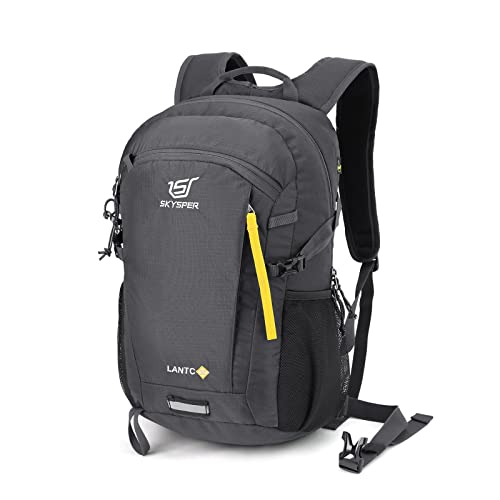
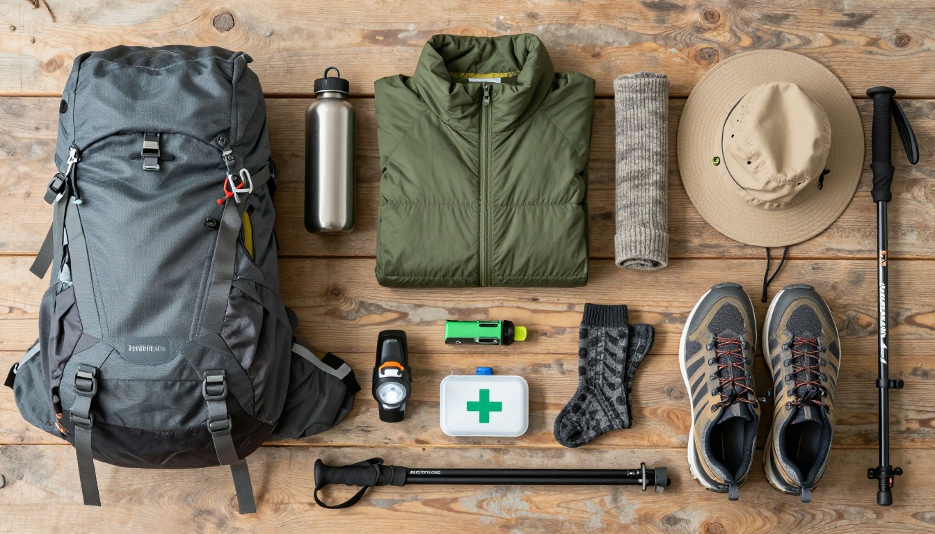
That changes what you should carry. You do not need a big pack, because a bag-forwarding service is said to run between the two towns, so you can walk with just the things you need for the day: water, a rain layer, snacks, a phone and a small first-aid kit. A lighter pack means less pushing down on your knees with every step.
The two things worth spending thought on are your shoes and the weather. Shoes that fit well stop blisters before they start, and a rain jacket keeps a drizzle from turning into a cold, miserable afternoon on slippery stone. Everything else is a bonus.
What the hike is like
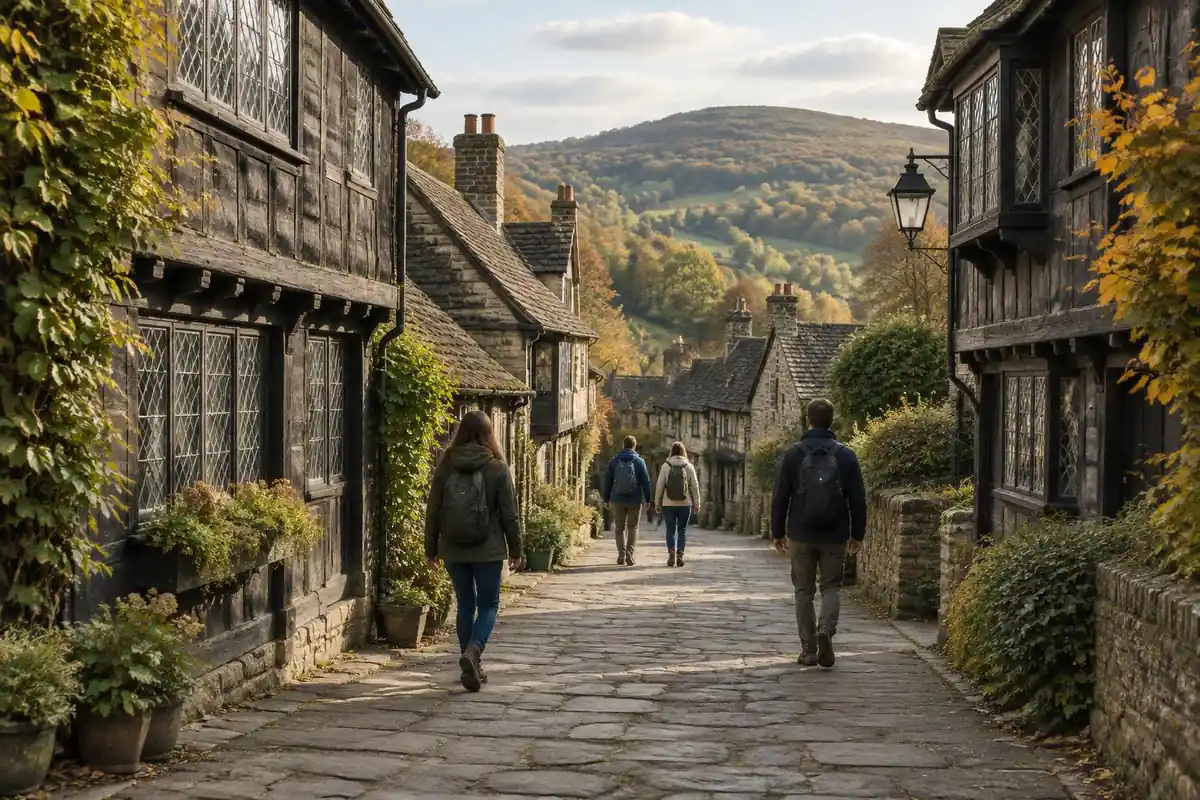
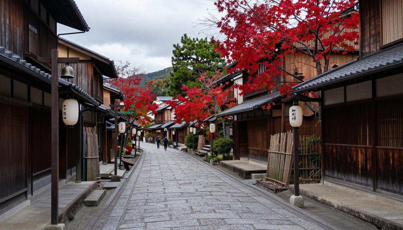
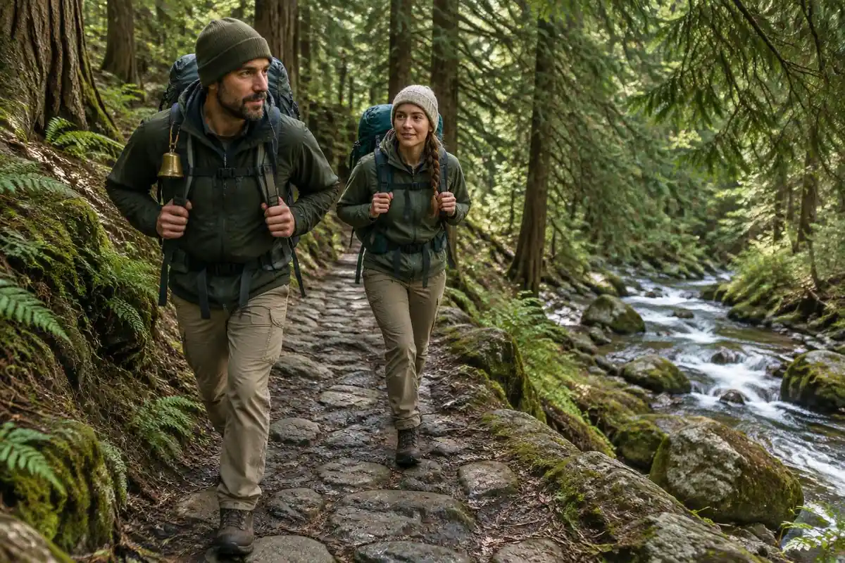
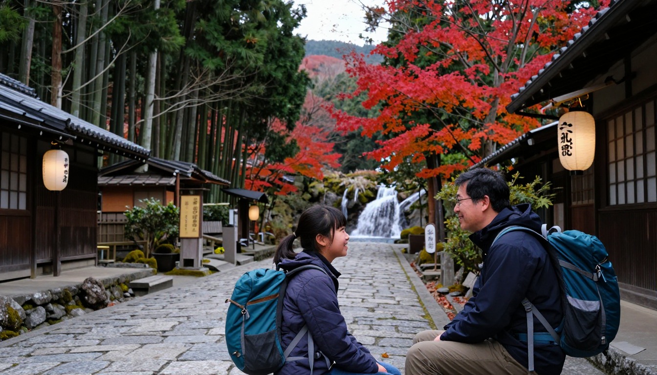
Almost all of the walking runs downhill, which is the single most useful thing to know. From Magome's stepped, stone-paved main street the path climbs gently through terraced fields to a low pass, then tips gradually down toward Tsumago for the rest of the day. The surface keeps changing underfoot: quiet asphalt lanes past farmhouses, packed forest track under cedar and bamboo, and short surviving stretches of the original Edo-era stone paving, which is beautiful and genuinely slick when wet. Signposting is excellent and bilingual, and bear bells are mounted on posts for walkers to ring as they pass. Waterfalls sit just off the route in the wooded middle section. The finish is unusually satisfying — the trail simply narrows into a village lane and delivers you onto Tsumago's car-free main street.
How to plan the itinerary
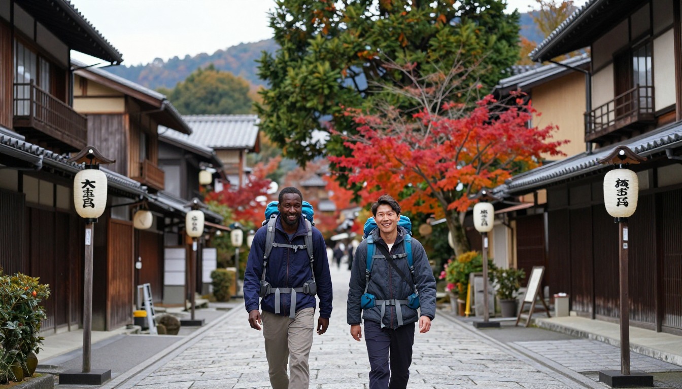
Most people walk this in one direction as a half-day outing rather than a loop, going Magome to Tsumago so the gradient works in their favor: transport up to Magome in the morning, walk through the middle of the day, and arrive in Tsumago with the afternoon still ahead. Walking it in reverse is perfectly doable and gives you a real climb plus a quieter trail, since the majority of groups move the other way. The version worth an extra night is sleeping in one of the post towns instead of day-tripping, which gets you the lanes at dusk and again at first light before the buses arrive. A luggage-forwarding service runs between the two towns, so plan on walking with a day pack and letting your bag meet you at the far end.
Plan this trip in 5 steps
-
Pick the right pack
Match a pack to your trip, fit and priorities.
-
Book a place to stay
Campgrounds, huts and lodges near Nakasendo — Magome to Tsumago.
-
Plan food & water
Calories, food weight and water for your days on trail.
Trail-specific tips
Start early if you can — the forest sections are at their best before the mid-morning groups arrive, and both post towns deserve unhurried time. Old stone paving and mossy steps get greasy after rain, so tread carefully rather than quickly. Ring the bear bells as you pass; they are there for a reason. Because the route is so consistently downhill, it is knees rather than lungs that complain, and poles help more than fitness does. Carry cash for the small tea houses along the way. For general trail prep, see /trail-smarts/.
Permits & rules
No permit is needed — this is a gentle, well-signed few-hours walk on an old highway between two exquisitely preserved post towns. Staying overnight in Magome or Tsumago, rather than day-tripping, is what makes it special.
Gear suited to this hike
Matched to the terrain and conditions here. Real products — check current price on Amazon.


Why a downhill day is hard on the body, and what poles do
On a descent your legs act like brakes, absorbing your body weight plus whatever is on your back with each step. In one lab study, hiking poles used on a steep 25-degree downhill ramp lowered knee compressive and shear forces by 12 to 25 percent.1 Another study that tested no pack, a day pack at 15 percent of body weight and a heavier pack found that poles reduced the turning forces at the lower-limb joints downhill across all of those loads.2
Keep the numbers in proportion. The 25-degree ramp in that first study is steeper than most of this route, which tips down gradually rather than plunging, so expect a smaller effect here. On level ground the picture is different: a separate study found poles did not appear to reduce knee compression when walking on the flat.3 Poles are a sensible aid on the steeper drops and less useful on the flat village lanes. Also remember that poles with sharp tips cannot go in carry-on bags on US departures, according to TSA, so plan for checked baggage or blunt tips if you fly out of the United States.4
Wet stone, wet feet and rain layers
The stretches of surviving Edo-era paving are lovely and become slick in the wet, as the page says. Good tread and a slower pace matter more than ankle armor. Rain also brings a second risk that is easy to underrate. NIOSH notes that wet feet lose heat about 25 times faster than dry feet, and that trench foot can occur at temperatures as high as 60 degrees Fahrenheit if feet stay wet.5 On a half-day walk the practical answer is simple: a waterproof or quick-drying shoe and a spare pair of socks in the top of your pack.
Layering helps for the same reason. A base layer, a warm middle layer and a shell against wind and rain is the standard three-layer system, and cotton is the one fabric to avoid because it traps moisture against skin.6 In a mountain valley the morning can be cool and the afternoon warm, so being able to peel a layer off matters as much as being able to add one.
Blisters, time and the day-pack decision
Long descents push toes into the front of the shoe. Dermatologists advise moisture-wicking socks, shoes that are neither too tight nor too loose, and stopping to protect a hot spot when skin turns red or painful, before it becomes a blister.7 Feet can swell during the day, which is another reason to pick shoes with about half an inch of room beyond the longest toe.8
For timing, NPS suggests setting a turnaround or finish plan in advance and telling someone where you are going.9 A one-way half-day walk with a fixed finish is easy to plan, but transport at either end sets the real deadline. The page notes the tourism side of the route; because opening arrangements, forwarding services and transport can change, check with the local tourist information offices in the post towns before you leave rather than relying on an old timetable.
Common questions
Should I walk Magome to Tsumago, or the other way around?
Magome to Tsumago is the popular choice because the net gradient runs downhill and transport links line up neatly at both ends. Walking the reverse turns it into a genuine uphill outing with fewer people coming toward you, which some walkers prefer. Either direction covers the same scenery — only the effort and the flow of foot traffic change.
Is this walk suitable for beginners or children?
Yes. As classic walks go, this is one of the gentler ones: short, thoroughly signposted, and following an old highway rather than mountain terrain. Children who are happy with a few hours on mixed paths usually manage it well. The main cautions are slippery stone paving after rain and a few short road sections where the occasional car passes.
Do I need hiking boots for the Nakasendo?
Boots are not essential here. Most walkers are comfortable in trail shoes or sturdy sneakers, since much of the route is lane and packed forest track. What matters more than ankle support is grip: the surviving stone paving and the wooden steps in the forest turn slick in wet weather, so smooth-worn soles are the thing to avoid.
What are the bells along the trail for?
Bears live in the forests of the Kiso Valley, and the bells on posts are there so walkers can make noise and avoid surprising one. Ringing them as you pass is standard practice and costs you a second. Encounters on this busy, well-used stretch are rare. For general wildlife and safety guidance, see /trail-smarts/.
Complete gearsets for this trip
Full curated kits built for exactly this kind of hike.
Trail conditions, permits and access rules change without notice — always confirm current information on the official source above before you go. Some facts on this page are still pending owner verification and are marked accordingly. Product links and the accommodation map are affiliate links: we may earn a commission at no extra cost to you; product prices and availability are shown on Amazon, and accommodation prices on the booking site. See our affiliate disclosure.