
Affiliate disclosure: this page contains affiliate links. Purchases made through them may earn us a commission at no extra cost to you. See our affiliate disclosure.
In plain English
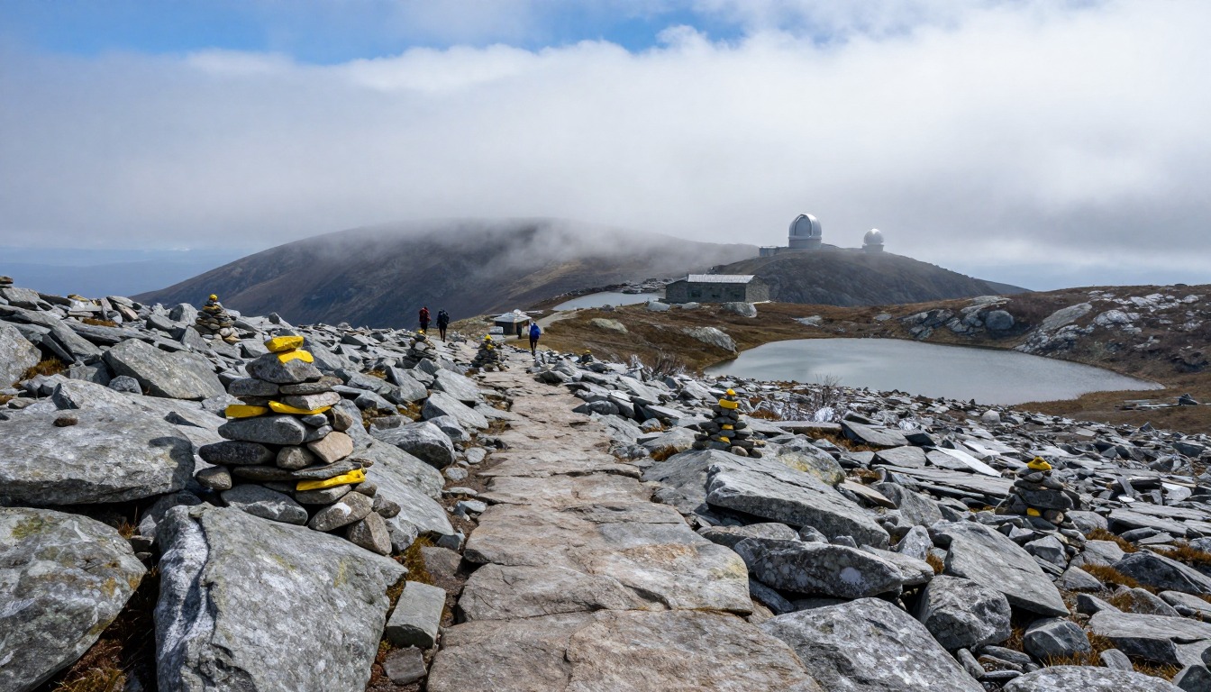
The Presidential Traverse is a long walk along a chain of mountains in New Hampshire named after U.S. presidents, including Mount Washington. Most of it is above the trees, on rocky ground where you step from boulder to boulder, following piles of stones called cairns.
Weather is the big danger. It can be warm in the valley and freezing, windy and foggy on top on the same summer day. Being cold and wet for hours can cause hypothermia, a dangerous drop in body temperature, even when it is not freezing.3
Some very fit people do it all in one day. Most split it over two or three days, sleeping in mountain huts booked ahead. Either way, carry warm clothes, a rain jacket, a hat and gloves, plenty of food and water, and know where you can drop off the ridge if the weather turns.
What the hike is like
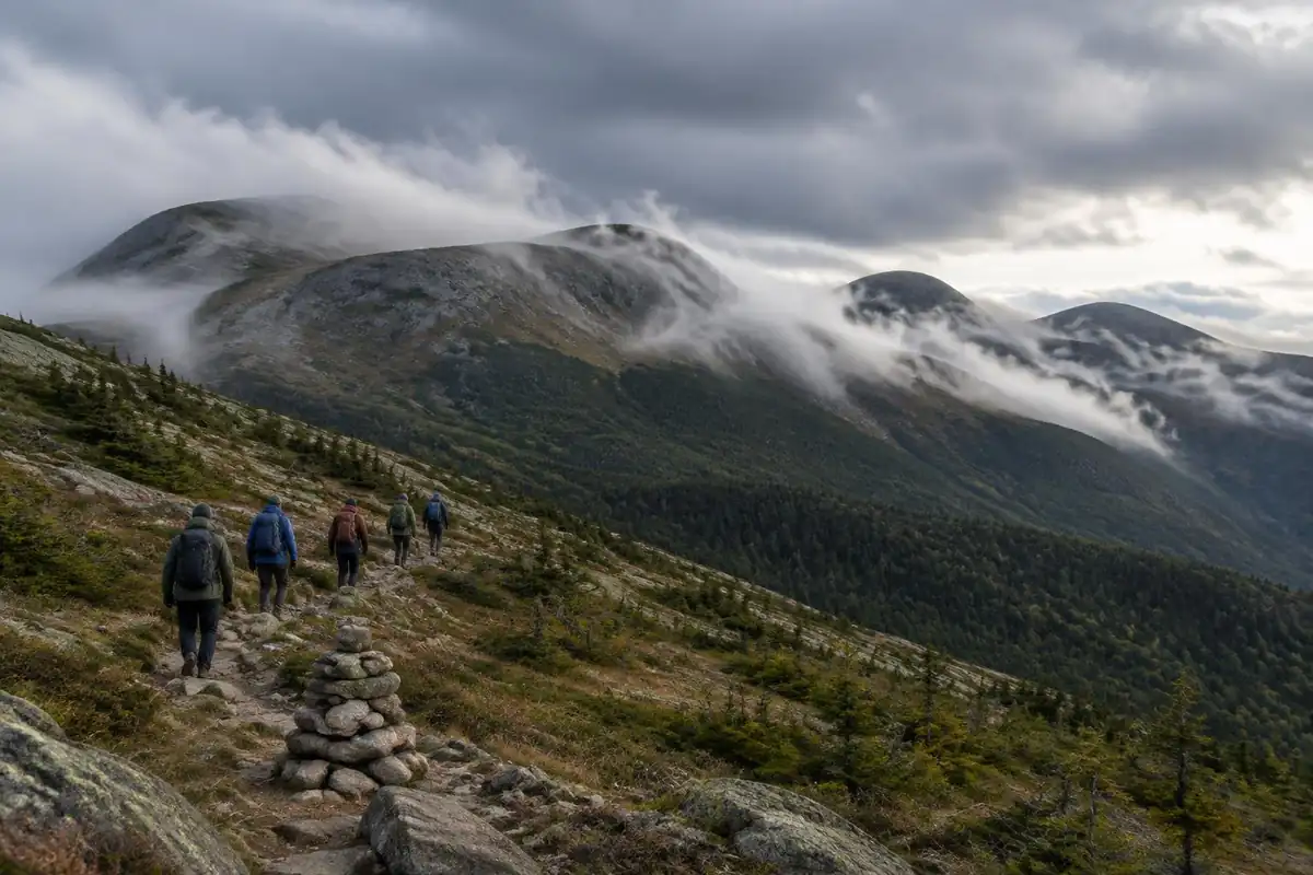
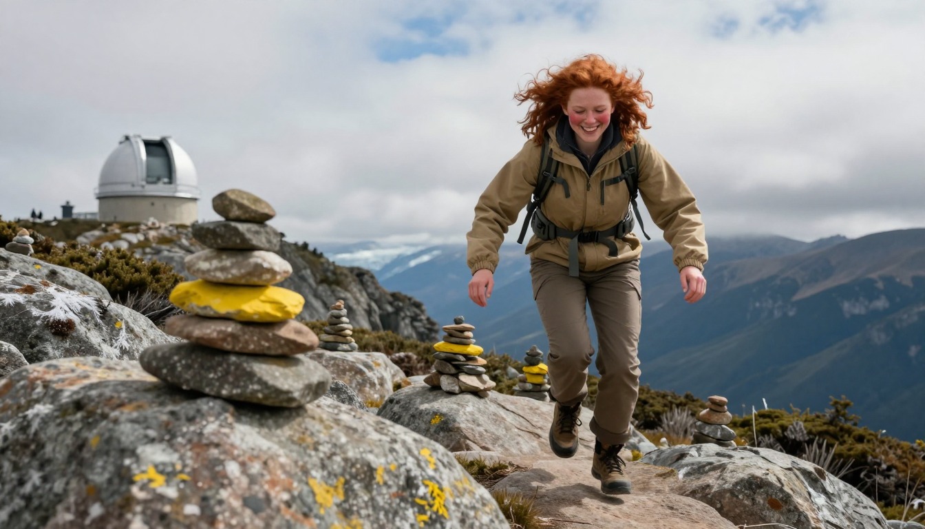
Anyone expecting smooth alpine trail is in for a shock. The traverse begins with a steep, relentless climb through forest to treeline, and from there the walking is almost entirely on rock: fields of angular boulders and broken talus where you place every step rather than stride, with cairns marking the line across ground that has no obvious tread at all. The ridge links the Presidential summits by a series of climbs and drops, and connecting trails skirt around several of the cones so you can choose which summits to take on and which to bypass. Mount Washington's upper slopes are the roughest footing on the route, and its summit is a working, built-up place with people arriving by road and rail rather than a wild high point. Progress here is measured in hours, not distance.
How to plan the itinerary
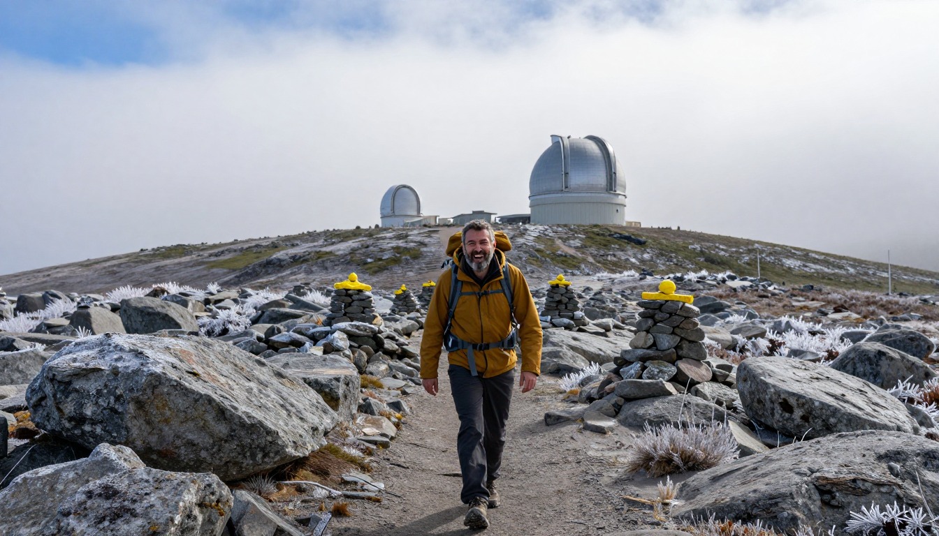
Two very different approaches dominate. The single-day push is a dawn-to-dark undertaking for experienced, fast hikers with a settled forecast, walked point to point with a car shuttle or a local shuttle service arranged in advance. The more common and more forgiving version splits the ridge over two or three days using the Appalachian Mountain Club's high huts, booked well ahead, which lets you carry a light pack, sit out a bad morning, and actually look at the view instead of racing the light. Most hikers walk the ridge in one consistent direction so that the shuttle logistics work cleanly at each end. Either way, the itinerary should include a genuine bail-out plan: trails drop off the ridge toward the valleys at several points, and knowing those options in advance is part of the planning.
Plan this trip in 5 steps
-
Pick the right pack
Match a pack to your trip, fit and priorities.
-
Plan food & water
Calories, food weight and water for your days on trail.
-
Estimate your time
Pre-filled with this trail’s distance and climb — adjust for your pace.
Trail-specific tips
Treat the forecast as the plan, not a detail. This ridge is famous for weather that turns cold, wet and violently windy with little warning, and there is essentially no shelter above treeline outside the huts. Carry full wind and rain protection, warm layers and gloves even in midsummer. The commonest error is pace: boulder fields cut speed dramatically, so schedules built from distance alone fall apart by mid-afternoon. Set turnaround times at the bail-out trails and honor them. For weather judgment and alpine layering, see /trail-smarts/.
Permits & rules
No permit is required, but AMC hut stays must be booked in advance. Mount Washington is known for severe, fast-changing weather — carry full layers and be ready to turn back.
Gear suited to this hike
Matched to the terrain and conditions here. Real products — check current price on Amazon.



Checking the forest, not just the forecast
The White Mountain National Forest home page lists current alerts and closures, including trail closures, fire notices, camping and fire restrictions in specific areas and a food storage requirement in the Pemigewasset Wilderness, alongside a fire danger status.1 None of those is specific to the Presidential ridge on any given day, which is the point: rules and closures vary by area within the forest, so read the alerts for the trailheads and descent routes you plan to use.
The forest says winter recreation opportunities are exceptional, and it offers recreation year-round.1 The page's July to September season is the most forgiving window, not a guarantee; the ridge is alpine terrain in every month.
Time, effort and bail-out planning
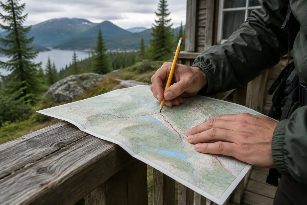
The page gives about 19 to 23 miles and 8,500 to 9,000 feet of gain. Naismith's rule, one hour per three miles plus one hour per 2,000 feet, gives roughly 11 hours of moving time at the middle of those ranges.2 On boulder fields that is optimistic; Mountaineering Scotland notes walking speed depends on ground conditions, slope, wind and pack weight.6 The Shenandoah formula scores the traverse around 600, three times the threshold for its Very Strenuous band.7
The NPS advises setting a turnaround time and sticking to it, leaving a trip plan with someone not on the trip, and not relying on a cell phone; it suggests a personal locator beacon.8 If you become lost, NPS guidance is to stay put unless life is threatened, and a whistle carries farther than your voice.9
Packing for wind, wet and cold above treeline
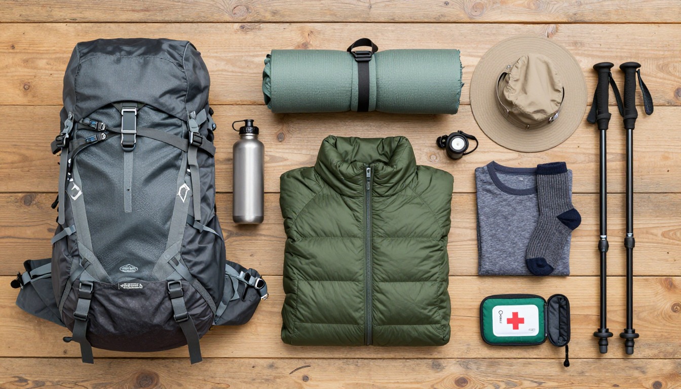
The National Weather Service says hypothermia can occur at air temperatures as warm as 60°F with long exposure while underdressed, and that frostbite can develop within minutes on fingers, toes, nose and ears.3 The CDC notes the person affected may not realize it is happening, and lists hikers among those at higher risk.10 That is why the pack carries a hat, gloves, a warm insulating layer and full rain gear on a clear morning.
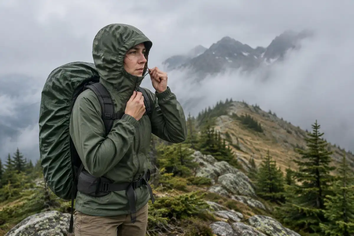
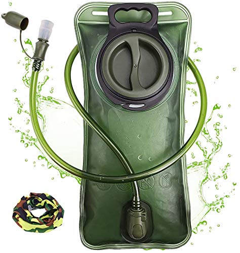
Thunderstorms add a second weather risk. The NWS advises avoiding ridge tops, spreading out if a group is caught outside, and waiting 30 minutes after the last thunder before returning to exposed areas.4 Fitting all that in, plus food and water for 11-plus hours, needs a real full-day pack; WTA puts that at 25–30 L.5
Stay on the rock and marked trail above treeline. The Green Mountain Club notes high-elevation trails are the most vulnerable because of thin soils and fragile vegetation.11
Common questions
Can I do the Presidential Traverse in one day?
Experienced hikers do, but it is a very long day over rough rock with sustained climbing, and it only makes sense with a stable forecast, plenty of daylight and a shuttle waiting. If you are unsure whether you are fast enough, you probably want the hut-supported version. There is no shame in the multi-day option; most people choose it.
Do I have to summit every peak?
No. Connecting trails bypass several of the summit cones, so you can take the peaks you want and skirt the rest. Most hikers make that decision on the day based on weather, energy and time. Bypassing cones saves meaningful climbing and rough scrambling, which can be what keeps a long day realistic.
How bad is the weather really?
Bad enough that it is the defining risk of this route, not a footnote. Mount Washington is known for extreme recorded conditions, and summer days on the ridge can still bring freezing wind, driving rain and whiteout visibility. Check the dedicated high-summit forecast before you start, and be genuinely willing to abandon the plan.
Do I need trekking poles?
Many hikers swear by them for the steep forest climbs and descents at either end. On the boulder fields they are less useful and some people stow them to keep hands free for balance on rock. Poles with a secure way to attach them to your pack are the practical answer for a route with both kinds of ground.
Complete gearsets for this trip
Full curated kits built for exactly this kind of hike.

Trail conditions, permits and access rules change without notice — always confirm current information on the official source above before you go. Some facts on this page are still pending owner verification and are marked accordingly. Product links and the accommodation map are affiliate links: we may earn a commission at no extra cost to you; product prices and availability are shown on Amazon, and accommodation prices on the booking site. See our affiliate disclosure.