
Affiliate disclosure: this page contains affiliate links. Purchases made through them may earn us a commission at no extra cost to you. See our affiliate disclosure.
In plain English
Forester Pass is the highest point on the Pacific Crest Trail, in California's Sierra Nevada. The trail up to it is well built, so the hard part is not the ground. The hard part is the thin air. At high altitude there is less oxygen in each breath, so the same walk feels much harder and some people get headaches or feel sick.
The safest plan is to give your body time to get used to it, a bit like easing into a cold pool instead of jumping in. That means a couple of easier days and nights at moderate height before you go for the pass, and then roughly one high pass a day, sleeping lower than the top when you can.
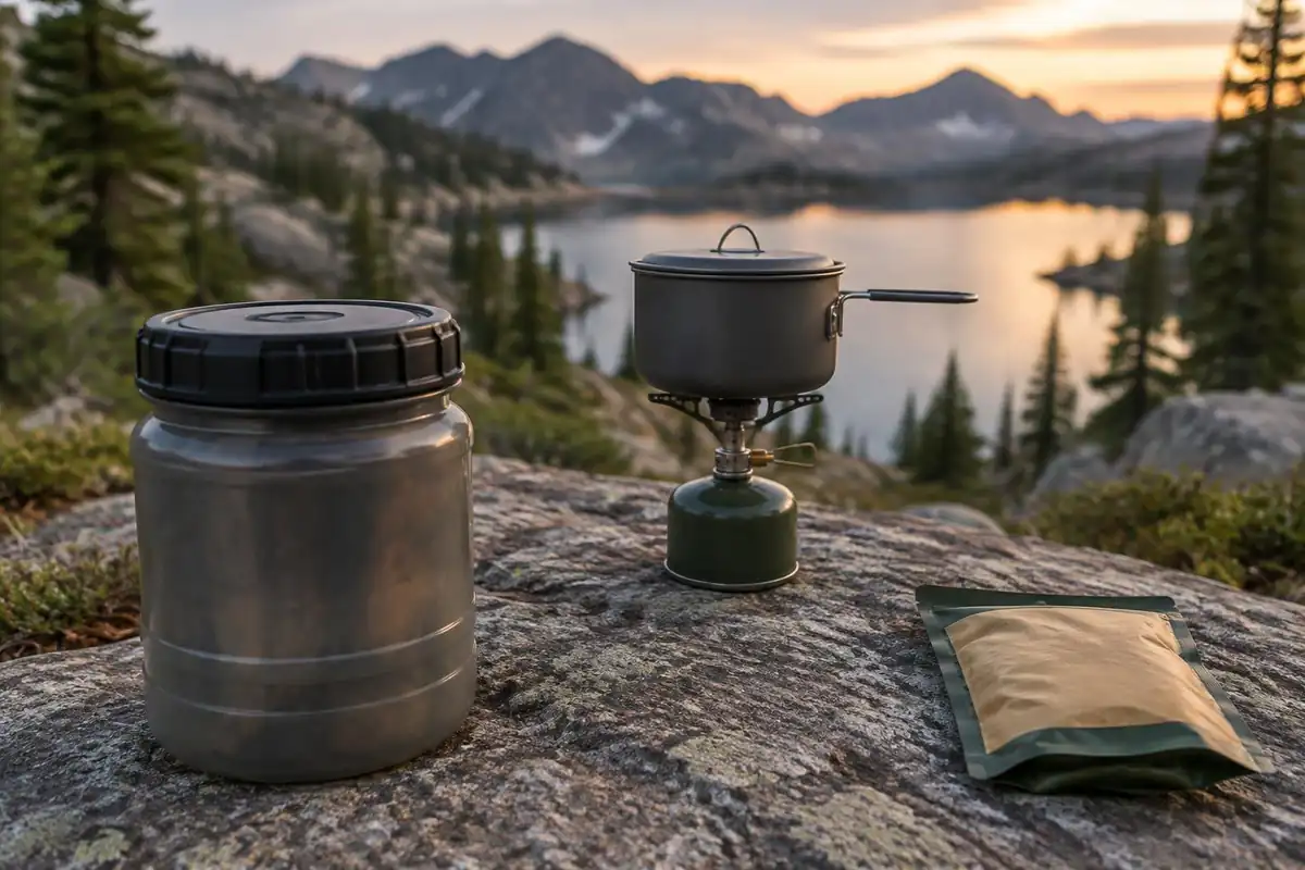
Bears and rules are the other thing to plan for. In this part of the Sierra you usually need to store your food in a hard-sided container called a bear canister, and the exact rules depend on which park or forest you are standing in. A canister takes up space inside your pack, so the pack you choose has to have room for it.
What the hike is like
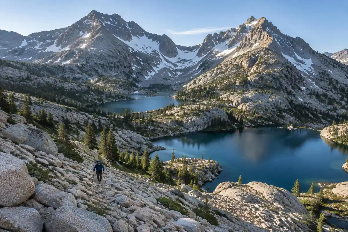
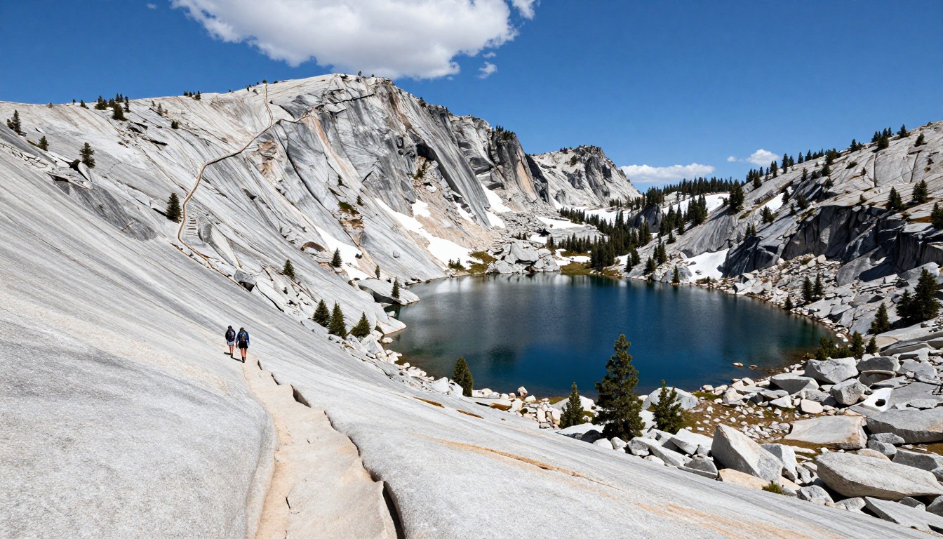
For most of this stretch the tread is superb — well built, well graded, maintained for generations and shared with John Muir Trail hikers — and the difficulty comes from the altitude far more than from the terrain. Heading north, the climb builds slowly across a broad, open basin above treeline, sandy and stony underfoot, with the wall ahead looking implausibly solid until you pick out the line cut across it. The final section is the one in all the photographs: a narrow shelf blasted into steep rock, switchbacking toward a notch in the crest with the basin dropping away below. A steep gully near the top often holds old snow well into summer. Beyond the notch the trail descends in long, patient switchbacks over talus and granite slab toward the greener, more sheltered country on the far side.
How to plan the itinerary
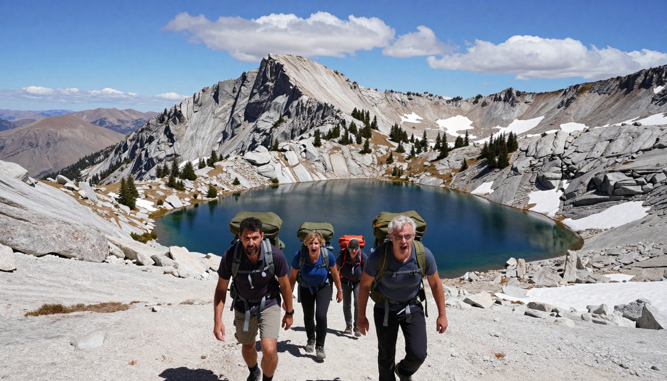
Almost nobody comes here for the pass alone. Thru-hikers reach it days deep into the Sierra with their legs and lungs already adjusted, while section hikers typically walk in over a side pass such as Kearsarge, spend several days on the high trail, and exit the same way. A common rhythm through this country is roughly one high pass per day: camp in the basin below it, climb in the morning while any snow is firm and the sky is still clear, then descend and make the next camp before afternoon storms build. Coming straight from the valley floor to the highest point on the trail is the common mistake — most people give themselves a couple of easier days and a night or two at altitude first. Allow more days than the distance suggests, because thin air, passes and creek crossings all slow the pace.
Plan this trip in 5 steps
-
Pick the right pack
Match a pack to your trip, fit and priorities.
-
Book a place to stay
Campgrounds, huts and lodges near PCT — High Sierra & Forester Pass.
-
Plan food & water
Calories, food weight and water for your days on trail.
-
Estimate your time
Pre-filled with this trail’s distance and climb — adjust for your pace.
Trail-specific tips
Treat altitude as the governing factor and the rest follows: shorter days at first, more water than feels necessary, and a genuine willingness to stop when you feel rough. Cross passes in the morning — afternoon thunderstorms build fast at this elevation, and an exposed rock shelf is the last place you want to be when one arrives. In big snow years the gully below the notch holds hard snow long into summer, so check current conditions and carry traction if reports call for it. For altitude, storm and water-crossing groundwork, see /trail-smarts/.
Permits & rules
This is remote, very high wilderness with no lodges — a wilderness permit is required (NPS runs a reservation quota season and free self-issue permits outside it; hikers of 500+ miles use a PCTA long-distance permit), and bear-resistant canisters are required in most of the park. Snow can linger into summer, so check conditions and carry an ice axe when needed.
Gear suited to this hike
Matched to the terrain and conditions here. Real products — check current price on Amazon.


Altitude: why the pass is the easy part
The CDC Yellow Book says any unacclimatized person sleeping at 8,000 ft or higher is at risk of altitude illness, and that physical fitness and training do not protect against it.1 That is why strong hikers still get sick, and why the page's advice to spend a night or two at altitude first is sound. The CDC guidance for sleeping above about 9,850 ft is to raise your sleeping altitude by no more than about 1,600 ft per day, with an extra acclimatization day for every 3,300 ft gained.1 A pass camp is often near the upper edge of that range, so the itinerary, not just your fitness, controls how you feel.
Headache is the main symptom of acute mountain sickness, typically starting 2 to 12 hours after arrival at altitude, and it improves rapidly with a descent of 1,000 ft or more.1 The CDC's rule is never to go higher to sleep while you have symptoms, however mild.1 Since the route has long distances between exit passes, deciding your descent option before you start matters. Sun matters too: UV intensity rises about 6 percent for each kilometer of elevation.4
Bear canisters: a patchwork of rules
Food storage here is not one rule. In Sequoia and Kings Canyon National Parks, the National Park Service requires containers from May 1 to October 31 in named areas such as Dusy Basin, the Rae Lakes Loop, North Dome, Rock Creek and the Pear and Emerald Lakes areas, and highly recommends them throughout both parks.2 Canisters can be rented at most visitor centers, though not Cedar Grove.2 In Inyo National Forest, food storage rules apply year-round in all wilderness areas, and where canisters are not mandatory food may be counterbalance-hung at least 15 ft up and 10 ft from the trunk, otherwise a container is required.3 Yosemite, at the north end of the John Muir Trail, has its own rules.
The practical result is that a hiker crossing several jurisdictions should carry an approved canister all the way rather than try to match the rules segment by segment. Use it correctly: the National Park Service says containers only work when closed and locked, and should sit on level ground at least 100 feet from camp, away from cliffs and water where a bear could roll them.5 Bears treat any scented item, including toiletries, sunscreen, trash and fuel, as food.6 The Interagency Grizzly Bear Committee reminds users that certification does not mean a container is bear-proof.7 Rules change, so confirm them with the current park and forest pages.
Sizing the pack around a canister and a long carry
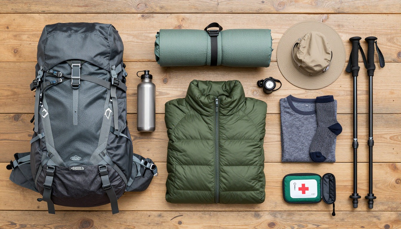
The Washington Trails Association suggests 50 to 70 liters for trips of three to seven nights.8 A canister has to fit inside, ideally upright and near your back, so the pack needs a wide enough main compartment and a frame that can carry the extra weight without sagging. A Sierra section with few resupply options and a canister pushes many hikers toward the upper end of that range.
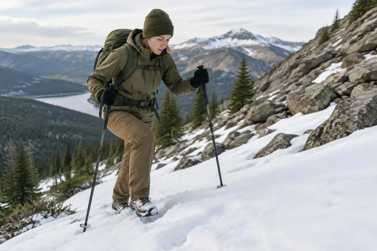
Trekking poles are worth considering on the steep switchbacks and talus descents on both sides of the pass. A study of downhill hiking found poles significantly reduced joint loading at the lower limbs, and the effect held across a no-pack, a day-pack and a heavy expedition-pack load.9 Late-season snow in the gully near the top can also make traction devices useful; check recent trail reports for conditions.
Land managers and current rules
Permits, quotas and closures for this section are set by the National Park Service and the Forest Service, so check the current pages of Sequoia and Kings Canyon National Parks and Inyo National Forest before you go.
Common questions
Is Forester Pass technically difficult?
No — it is a hiking trail the whole way, with no scrambling or climbing required. What makes it serious is elevation, weather exposure and, in some years, snow lingering in the gully near the top. Hikers who are properly acclimatized and crossing on a clear morning generally describe the climb as steady and airy rather than frightening.
What about altitude on this section?
This is the highest ground on the trail, and hikers who arrive without acclimatizing often feel it — headache, poor appetite, broken sleep. The usual approach is to gain elevation gradually over several days beforehand and keep eating and drinking. If someone feels worse rather than better, hikers descend rather than push on. General guidance lives on /trail-smarts/.
Do I need an ice axe and microspikes?
It depends entirely on the snow year and the date. In an average season by midsummer, many hikers cross with neither. After a heavy winter, or early in the season, the steep gully below the notch can hold firm snow and traction plus an axe becomes the normal call. Check current conditions reports before you decide what to pack.
Can you hike Forester Pass as a day trip?
Not realistically. There is no road anywhere near it, so even the shortest approach means walking in over another high pass and camping for several nights. It gets reached as part of a multi-day trip — either as a segment of a longer thru-hike, or as an in-and-out loop over a side pass such as Kearsarge.
When do the creek crossings settle down?
Snowmelt drives them, so crossings run highest early in the season and after a big winter, then drop steadily through the summer. Water levels are also lower in the morning than in the late afternoon, which is one more reason the day here tends to start early. Later in the season most crossings are straightforward.
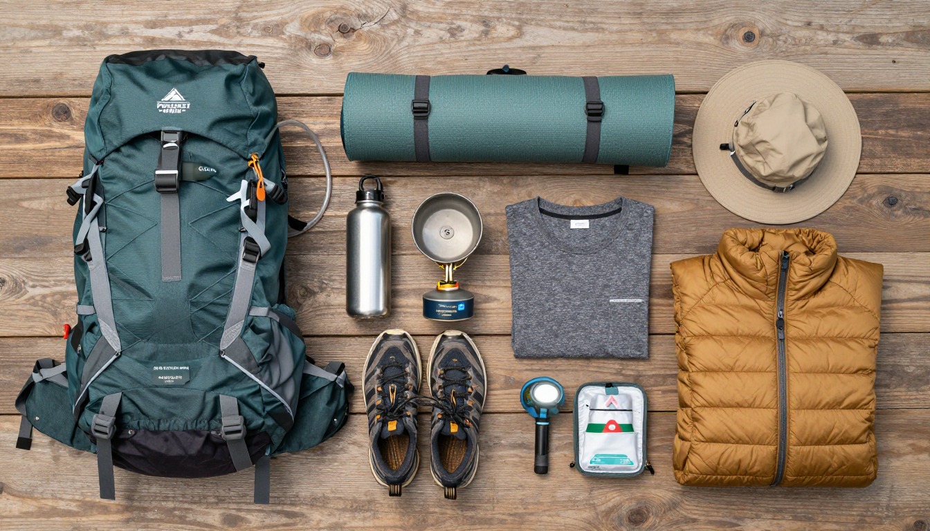
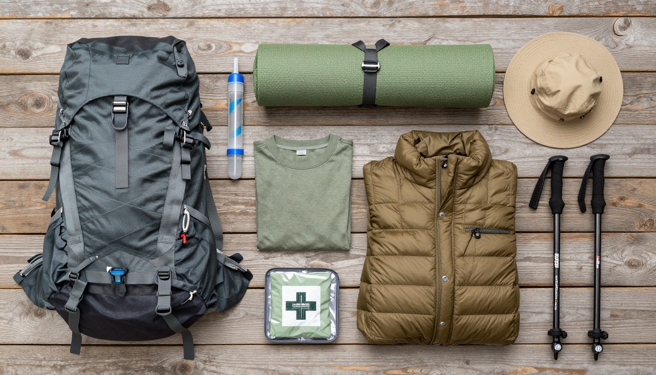
Complete gearsets for this trip
Full curated kits built for exactly this kind of hike.
Trail conditions, permits and access rules change without notice — always confirm current information on the official source above before you go. Some facts on this page are still pending owner verification and are marked accordingly. Product links and the accommodation map are affiliate links: we may earn a commission at no extra cost to you; product prices and availability are shown on Amazon, and accommodation prices on the booking site. See our affiliate disclosure.