
Affiliate disclosure: this page contains affiliate links. Purchases made through them may earn us a commission at no extra cost to you. See our affiliate disclosure.
In plain English
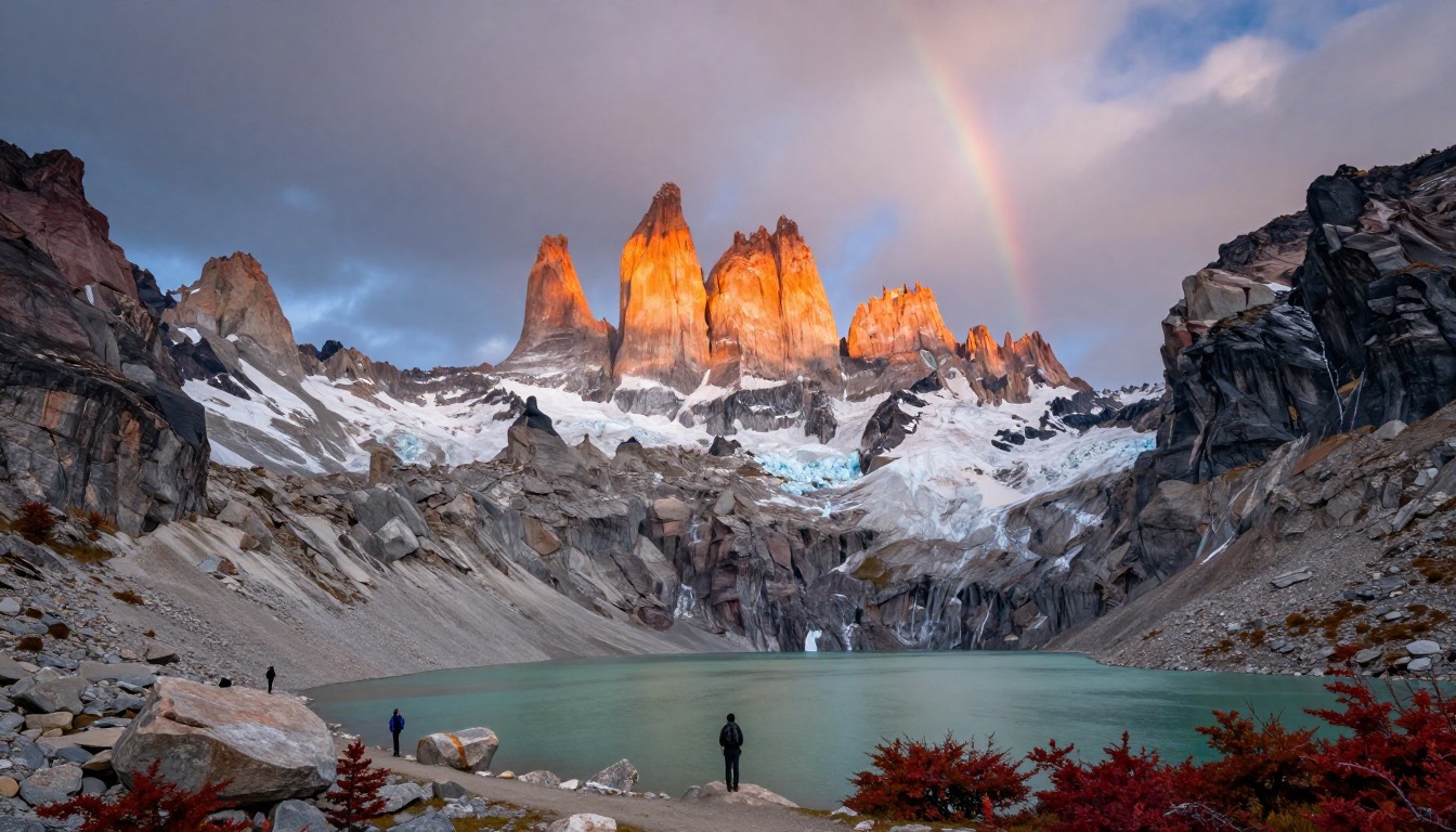
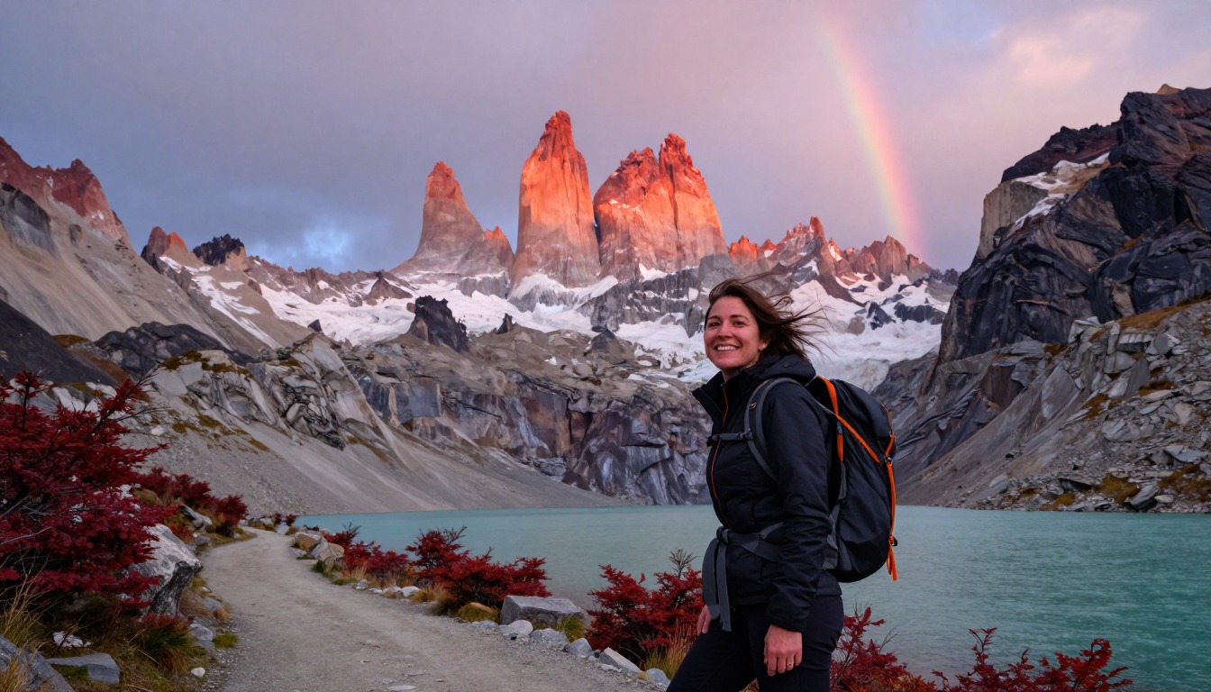
The W Trek is a four- or five-day walk in Torres del Paine National Park in Chilean Patagonia. From above, the route looks like the letter W: three valleys that run up toward the mountains, joined by paths along the lakes.
Most people sleep in huts or campsites booked ahead, then leave their big backpack there and walk up each valley with a small daypack. That makes the hard climbs much easier.
The weather is the thing to prepare for. Wind in Patagonia can be very strong, and the park's rules change with the seasons. Outside summer, the park can require spikes that strap onto your boots for icy trails, plus trekking poles.1 Before you go, check the park's daily trail report and current rules, because what applied last month may not apply now.1
What the hike is like
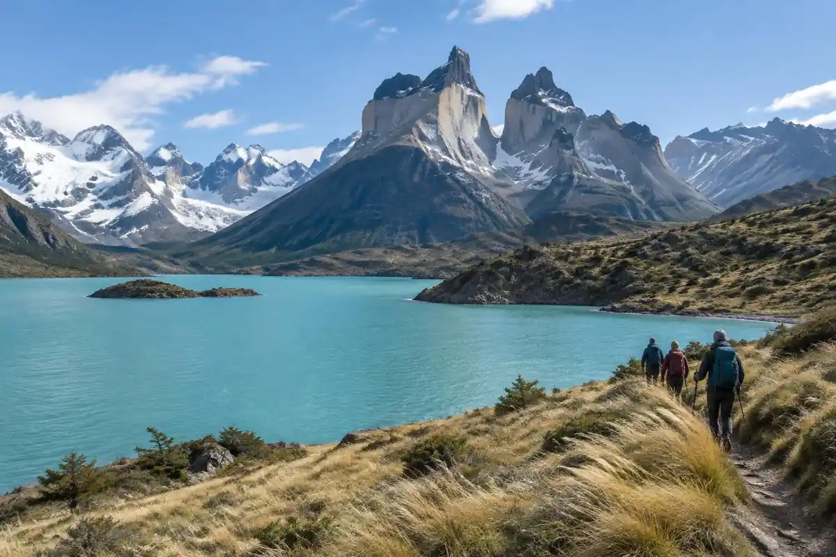
The W gets its name from its shape, and the shape is the whole point: three spurs running up into the mountains, joined by two connecting legs along the lakeshore. The spurs are where the effort is. One climbs a moraine valley on loose rock and boulders to the viewpoint beneath the towers, finishing with a scramble over a jumbled boulder field that always takes longer than it looks. Another pushes steeply up a glacier-carved valley into a natural amphitheater of granite. The third follows undulating forest and ridge above a glacier, dipping in and out of drainages on bridges and steps. The connecting legs are easier walking but rarely sheltered, and the wind off the ice and the lakes is a constant factor rather than an occasional one.
How to plan the itinerary
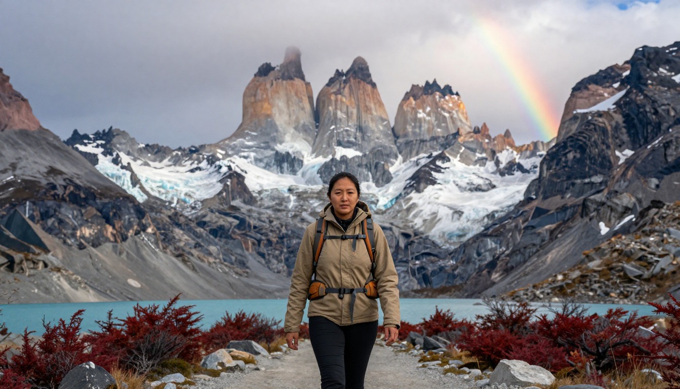
Most people take four or five days and walk the W in one direction, either west to east or east to west, sleeping at the string of refugios and serviced camps booked in advance. The structure that makes it work is leaving your heavy gear at the night's accommodation and doing each spur as an out-and-back with a light daypack — the same climb feels like a different hike without a full load. West to east finishes with the towers, which many people like as a crescendo; east to west gets the steepest climb done while legs are fresh and puts the glacier at the end. Either way, one spur per day is a realistic rhythm, and the boat and bus connections at both ends deserve more schedule padding than they're usually given.
Plan this trip in 5 steps
-
Pick the right pack
Match a pack to your trip, fit and priorities.
-
Plan food & water
Calories, food weight and water for your days on trail.
-
Estimate your time
Pre-filled with this trail’s distance and climb — adjust for your pace.
Trail-specific tips
Treat wind as a planning factor, not weather trivia — it can make an exposed ridge genuinely hard work and it can arrive from a clear sky. Layers you can shed and re-add quickly beat a single warm jacket. The boulder field on the towers spur is where most of the day's time disappears, so start that leg earlier than your own estimate. Carry more water than the short distances suggest; the spurs climb harder than their numbers imply. As of mid-September 2026 the park no longer requires an accredited guide for Base Torres and the W, but it lists microcrampons and trekking poles as mandatory while winter conditions persist in some sectors; check the park's current rules and daily trail report before you go. Broader weather and layering judgment lives on /trail-smarts/.
Permits & rules
Every night in the park — refugio, serviced or free CONAF site — must be reserved in advance; rangers check bookings. There are no walk-up beds or pitches. As of 16 September 2026 CONAF no longer requires an accredited guide on the Base Torres and W routes, but microcrampons and trekking poles can be mandatory in winter conditions — check CONAF and the park site for current rules.
Gear suited to this hike
Matched to the terrain and conditions here. Real products — check current price on Amazon.



Seasonal rules: guides, traction and trail reports
The park's own site shows how quickly the rules move. In mid-September 2026 it announced that accredited guides are no longer required for the Base Torres and W trail hikes, while microcrampons and trekking poles remain mandatory because of persisting winter conditions in some sectors.1 The site also points to special regulations for winter mountaineering in 2026, a daily trail-condition report and an official map in English and Spanish.1
For planning, the practical lesson is that the page's best season of November to March is the easy window, not the only one. Anyone walking in the shoulder months should expect traction to be on the required-gear list. Microspike-style traction is designed for icy, packed snow in mountain terrain; Kahtoola's version uses twelve stainless steel spikes per foot.3 Poles also help on the steep, loose descents from the Torres viewpoint and French Valley, where a study found they cut knee compressive and shear forces by 12 to 25% on a steep downhill.4
Fire, stoves and the wind
The park enforces regulations on the use of fire and other heat sources, so read the current version before you pack a stove.1 Getting fuel there also takes thought. The TSA prohibits flammable liquid fuels, including cooking fuel, in both carry-on and checked bags, and a stove can only fly if completely emptied and cleaned.5,6 MSR notes that canister fuel is not available everywhere, so confirm a local supplier before relying on one type.7
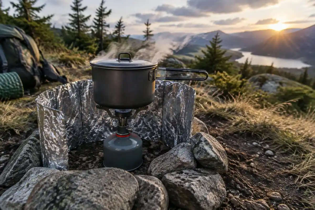
Patagonian wind creates a specific temptation: cooking inside the tent. The CDC's report on camping deaths found that stoves should never be used inside a tent, and that opening flaps or windows does not prevent dangerous carbon monoxide build-up.2 Carbon monoxide is odorless and colorless, and sleeping people can die before they have symptoms.8 Cook in the open or in a sheltered cooking area where the campsite provides one.
Wind chill and layering
The W's connecting legs are exposed, and the combination of wind and rain is the cold risk here, not low temperatures alone. The CDC notes that hypothermia can develop even above 40°F when someone is chilled by rain, sweat or cold water, and that the person affected may not realize it is happening.9 Warning signs include shivering, exhaustion, confusion, fumbling hands and slurred speech.9
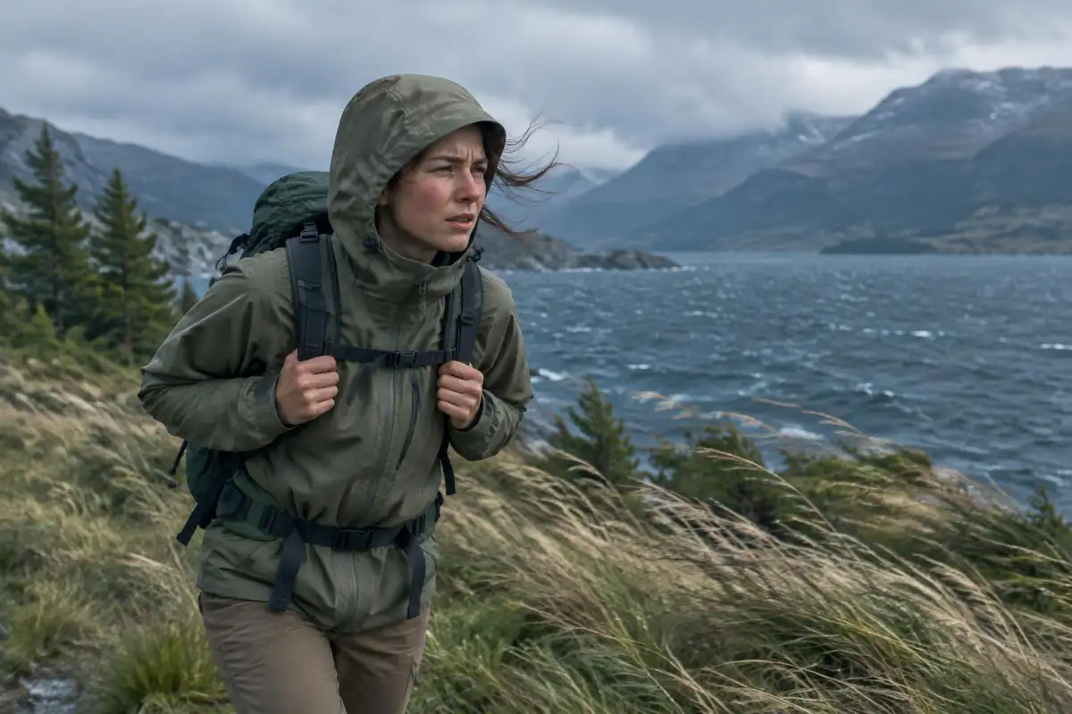
That is why a windproof shell and a warm layer you can pull on quickly matter more than one heavy jacket. On daypack days, keep both in the small pack rather than leaving them at the refugio with your main load.
Common questions
Which direction should I walk the W?
Both work. West to east saves the towers for the final morning, which suits people who want to finish on the headline view. East to west front-loads the hardest climb and ends at the glacier. Availability at the refugios often decides it for you anyway, since each night has to line up with the last.
How hard is the climb to the towers viewpoint?
It's the toughest single stretch of the trek — a long, steady climb through a valley that steepens sharply at the end into a boulder field you pick your way up rather than walk. It's not technical, but it is slow, awkward going on tired legs, and it feels considerably longer on the way back down.
Do I have to carry my full pack every day?
No, and you shouldn't. Because each arm of the W is an out-and-back from where you sleep, you can leave your main pack at the refugio or camp and walk the spur with just a daypack, water and layers. Planning your stages around that is what keeps the W manageable for hikers who aren't used to loaded multi-day walking.
How is the W different from the full circuit?
The W covers the three headline valleys and stays on the south side of the massif, with beds and meals available every night. The longer circuit loops right around the back of the range, adds several remote days with far fewer facilities, and demands more self-sufficiency. Most first-time visitors walk the W.
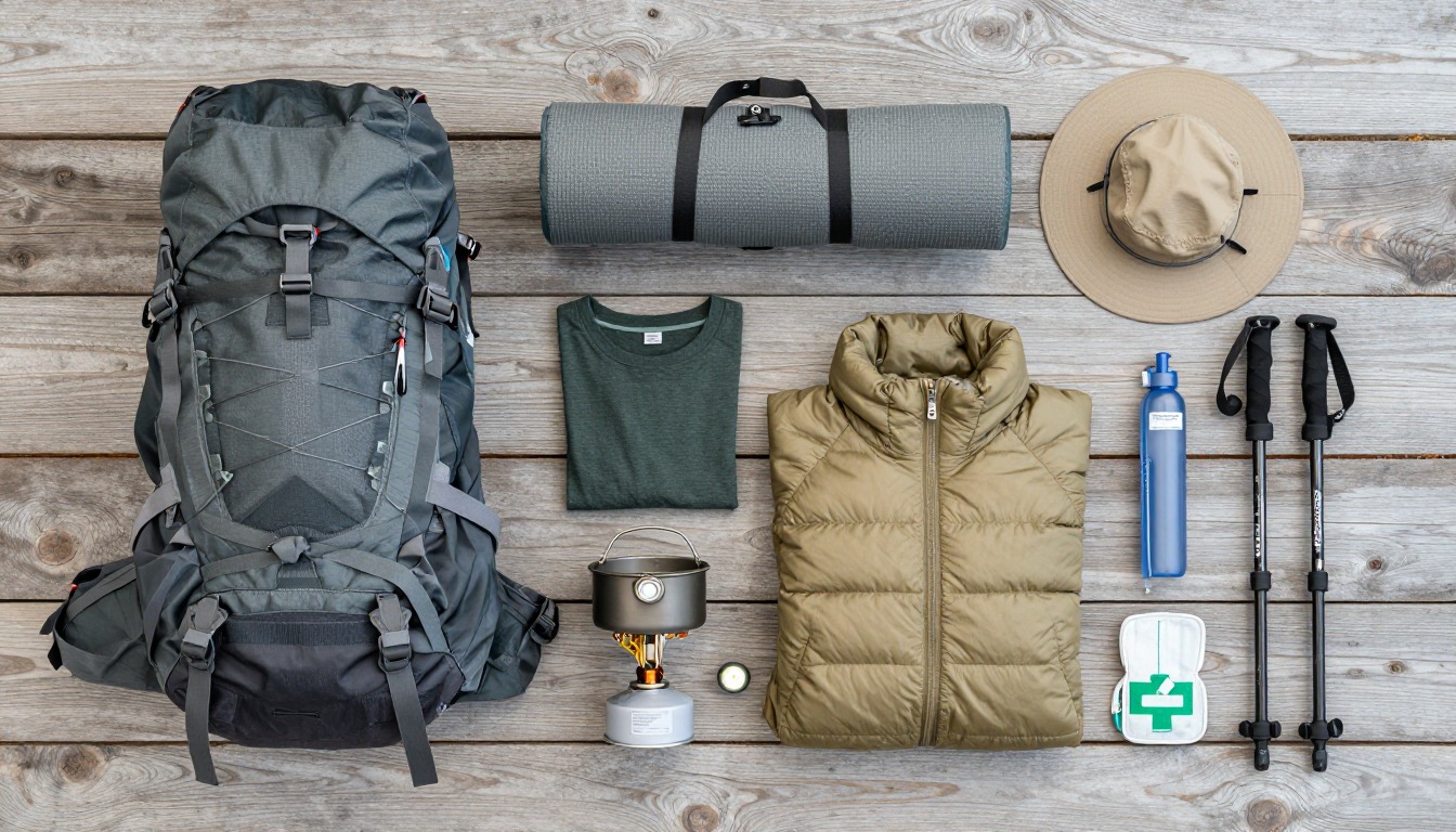
Complete gearsets for this trip
Full curated kits built for exactly this kind of hike.

Trail conditions, permits and access rules change without notice — always confirm current information on the official source above before you go. Some facts on this page are still pending owner verification and are marked accordingly. Product links and the accommodation map are affiliate links: we may earn a commission at no extra cost to you; product prices and availability are shown on Amazon, and accommodation prices on the booking site. See our affiliate disclosure.