
Affiliate disclosure: this page contains affiliate links. Purchases made through them may earn us a commission at no extra cost to you. See our affiliate disclosure.
In plain English
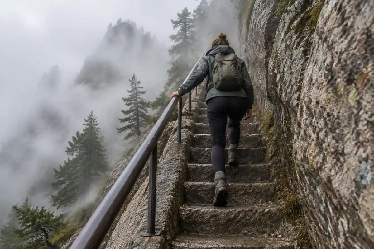
Huangshan is not a dirt trail. It is a giant staircase cut into granite, with iron handrails and thousands of steps. There is no map reading or climbing skill involved. The challenge is simply that your legs keep lifting your body up, or lowering it down, again and again for hours.
Think of it like a very long flight of stairs in a tall building, except the stairs continue over ridges and the weather can change while you are on them. Going down is often the harder part. Each step drops your body weight onto your knees, and a hard stone surface does not soak up any of the shock.
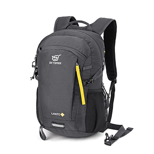
For a pack, that means lighter is better. A small, snug daypack with a rain layer, water, a snack and a warm layer is plenty for a day trip. If you stay overnight on the mountain, you mostly need a change of clothes and toiletries, because rooms are indoors. Bring a real jacket either way, because clouds can wrap the summit and feel cold and damp even when the valley is warm.
What the hike is like
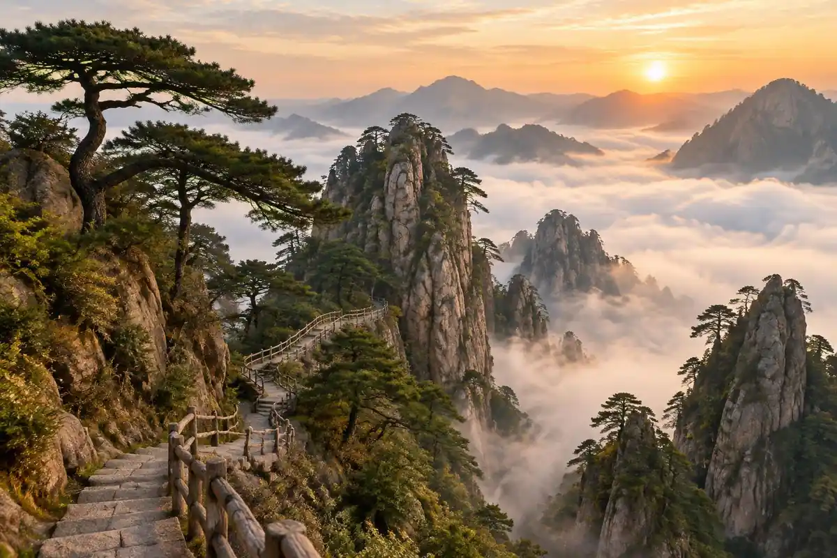
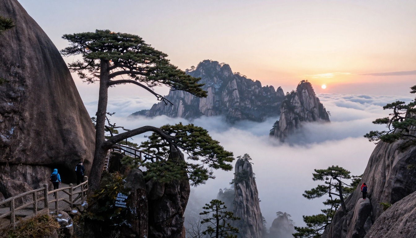
Almost none of Huangshan is dirt. The route is a staircase — granite slabs and cut steps with iron handrails, rising in long flights up the rock faces, then running along the ridge tops between summit areas. There is no navigation to speak of and no scrambling, so the difficulty is pure repetition: steps, taken in their thousands, absorbed entirely by your quads and knees. Two main stair routes climb from the base area near Tangkou, one shorter and steeper, the other longer with more to look at, and cable cars parallel both, so a climb can be traded for a ride in either direction. Up top the walking changes character. Linked paths wander between summits, squeeze through rock-cut tunnels and past the wind-twisted pines, and foot traffic bunches badly at the narrowest flights.
How to plan the itinerary
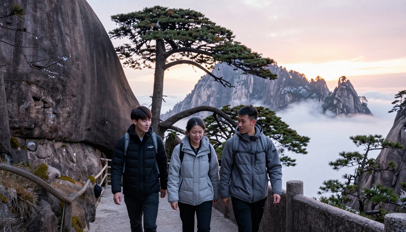
The classic shape is two days with one night on the mountain. Hikers climb or ride up during the first afternoon, drop a bag at a summit-area hotel, then walk the ridge paths while the light is low. The next morning they are out before dawn for sunrise, wander the upper trails through the morning, and descend by the other stair route or a cable car in the afternoon. A single long day is possible using cable cars both ways, but it usually means arriving after the cloud sea has burned off and leaving before the evening light returns. Either way, build the day around the cable-car operating hours rather than your own pace — missing the last car means a long stair descent in the dark. The summit room is the whole trip's linchpin, so settle that first.
Plan this trip in 5 steps
-
Pick the right pack
Match a pack to your trip, fit and priorities.
-
Plan food & water
Calories, food weight and water for your days on trail.
Trail-specific tips
Going down hurts more than going up here. Plenty of people finish Huangshan with wrecked quads rather than sore lungs, so bring poles and genuinely use them on the descent. The common mistake is treating the summit hotel as the finish line, then hammering the way down on tired legs the next afternoon. Carry your own water: everything sold up top was hauled up those same steps on someone's back. Crowds pile up at the narrow flights and famous viewpoints, so walk the ridge paths early or late. General weather and layering habits live on /trail-smarts/.
Permits & rules
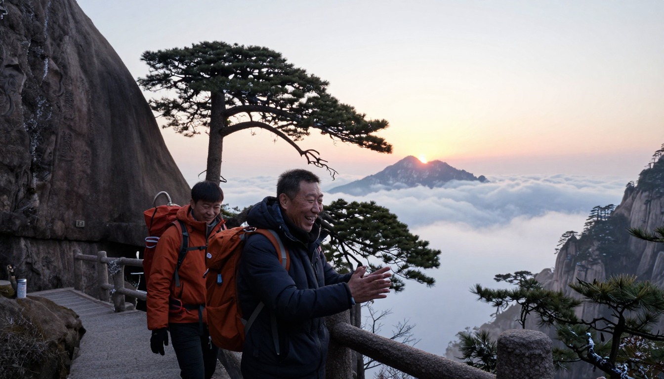
A scenic-area ticket (and separate cable-car fares) is required; check current ticketing and cable-car arrangements before you go. The trails are paved stone staircases — steep and strenuous but not technical — and the peaks are cold and often cloudy; an overnight in a mountaintop hotel is how most people catch the sunrise.
Gear suited to this hike
Matched to the terrain and conditions here. Real products — check current price on Amazon.


Why stairs punish the knees, and what poles actually do
Stairs are a special kind of downhill. On the way down, muscles must slow the body with every step, and the joints absorb the impact. In a laboratory study on a steep downhill ramp of 25 degrees, hikers who used poles cut knee compressive and shear forces by 12 to 25%.4 A ramp is not the same as a stone staircase, so treat the figure as evidence that poles help on steep descents rather than as a promise for Huangshan's steps.
The benefit also held when people carried a load. A study that tested no pack, a day pack at 15% of body weight and a heavier pack at 30% found poles reduced the turning forces at the lower-limb joints in every case.1 On level ground the picture is different: poles did not reduce knee compression when walking on the flat.5 So poles are most useful on the long descent flights, and can be folded onto the pack for the flat ridge paths and narrow, crowded sections, which is why collapsible poles that stow quickly suit this trip.
Timing, turnaround and the weather gamble
The itinerary depends on cable-car operating hours. Confirm hours, ticketing and any closures directly with the Huangshan scenic area before you commit to a plan, and treat the page's distances and step counts as planning estimates.
National Park Service guidance is to set a turnaround time and stick to it, and to plan for uphill sections to take at least double the time of the downhill.3 Here that applies twice: if you plan to walk down rather than ride, add the time needed for the stairs and build in a margin before the last car. Missing it means descending thousands of steps in the dark.
Mist and cloud change the equation as well. Hypothermia can develop above 40°F if a person gets chilled from rain or sweat,6 and a damp summit with wind after a sweaty climb is exactly that setup. Keep a dry insulating layer in a waterproof stuff sack inside the pack, since pack fabric can leak at seams and zippers in sustained rain.7
Sun on the ridges and the pack you actually need
Summit ridges are more exposed than the valley. The EPA notes UV intensity rises about 6% per kilometer of elevation, and overcast skies still transmit about 31% of UV.2 A hat and sunscreen belong in the pack even for a forecast of cloud. CDC also lists the hours from 10 a.m. to 4 p.m. as the most intense for UVB.8
Because the route is mostly walking on built surfaces with lodging and food available on the mountain, a full backpacking kit is unnecessary. Load also matters for energy: research on walking with backpacks finds metabolic cost rises roughly in step with pack weight, at about 7.6 watts per extra kilogram.9 Over many thousands of steps, every kilogram you leave in the hotel is effort saved.
Common questions
Can the cable cars do all the climbing for me?
They can cover the big ascents and descents between the base and the summit area, but not the walking up top. Once you are on the mountain, moving between the summits and viewpoints is still stair work, much of it steep. Cable cars shorten the day considerably; they do not turn Huangshan into a flat walk.
How fit do I need to be for a staircase hike?
Fitter than the word 'staircase' suggests. There is no technical skill involved, but sustained stair climbing is one of the more demanding things a body can do for hours at a stretch. If you can manage a long day of continuous uphill without stopping every few minutes, you will be fine — just slower than you expect.
Are trekking poles worth carrying on paved steps?
Yes, arguably more than on a dirt trail. Stone steps give back every bit of impact on the descent, and poles take a meaningful share of that off your knees. Collapsible poles that stow on your pack are easiest, since handrails and narrow flights mean you will want your hands free in places.
Is it still worth going up if the forecast is cloudy?
Often yes. The famous sea of clouds happens because cloud sits below the peaks, so a grey valley forecast can mean a clear summit. The flip side is that mist can also close in around you and reduce visibility to a few steps. It is genuinely a gamble, which is why staying overnight improves your odds.
Complete gearsets for this trip
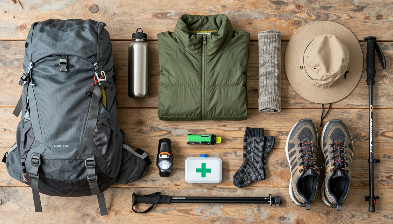
Full curated kits built for exactly this kind of hike.

Trail conditions, permits and access rules change without notice — always confirm current information on the official source above before you go. Some facts on this page are still pending owner verification and are marked accordingly. Product links and the accommodation map are affiliate links: we may earn a commission at no extra cost to you; product prices and availability are shown on Amazon, and accommodation prices on the booking site. See our affiliate disclosure.