
Affiliate disclosure: this page contains affiliate links. Purchases made through them may earn us a commission at no extra cost to you. See our affiliate disclosure.
In plain English
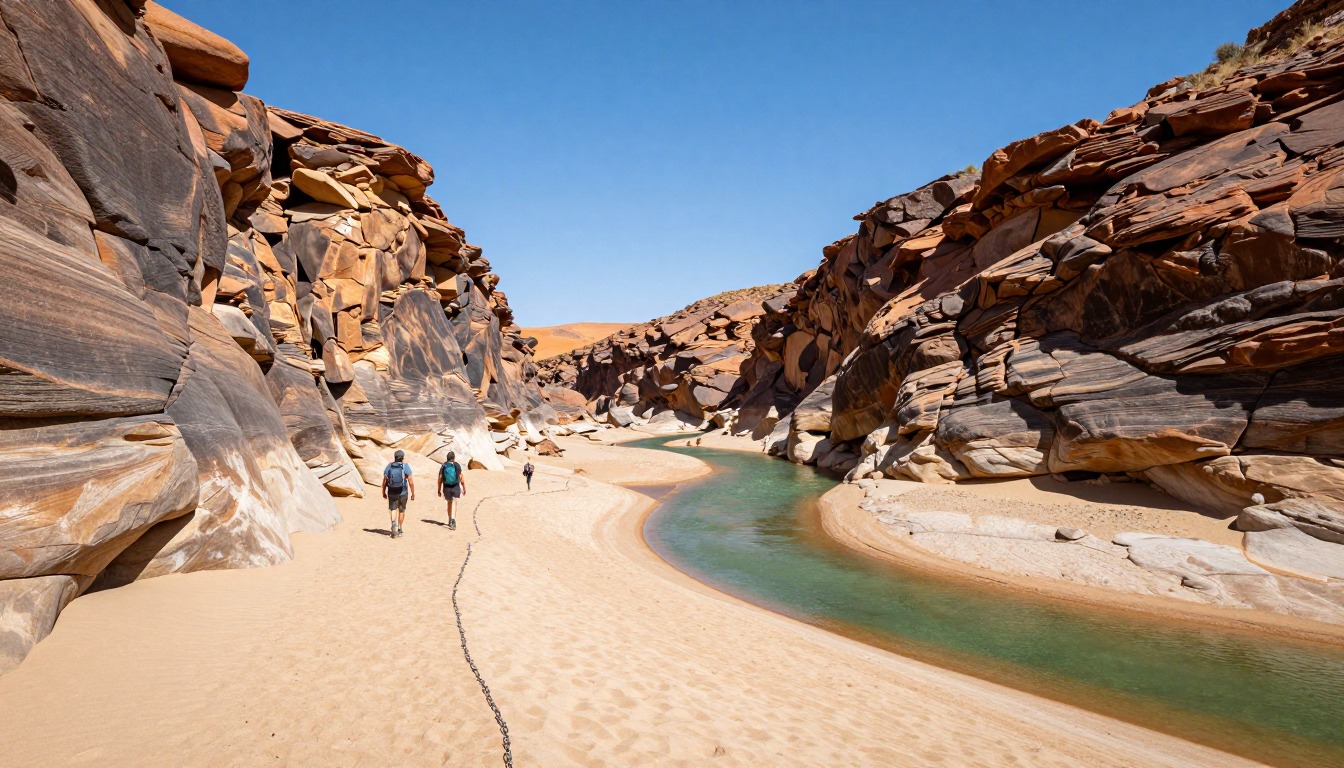
Fish River Canyon is one of the largest canyons in the world, and this trail takes you along the bottom of it for several days. There is no marked path. You follow the river, walking on big stones, in soft sand and across the water. Once you drop in, the canyon walls make leaving early hard.
Because it is a wilderness trek, you carry everything: your food, tent and sleeping bag. The heat is another problem. Sun and dry air dry you out, and hot rock makes the day feel longer. Water helps you, but it is heavy, and river water may need treating.
The trail is not open all year, and it can close if the river is too high. Always check the operator's latest notice before you plan flights and shuttles. Choose a comfortable pack that carries a heavy load well, and keep sand out of your socks to avoid blisters.
What the hike is like
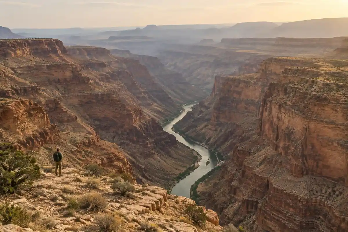
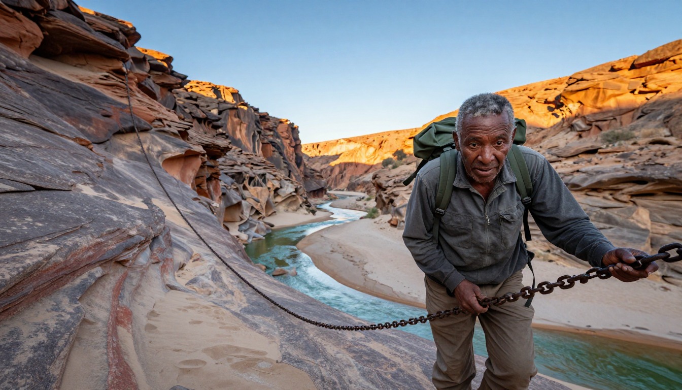
The trail begins with a steep, rough descent off the rim on a loose path that drops you onto the canyon floor within the first stretch of walking — and once you're down, you're committed. After that there is no trail in any maintained sense. You follow the riverbed: boulder-hopping across fields of rounded rock, plodding through deep soft sand that eats energy, crossing and re-crossing the water on gravel bars, and occasionally taking a rough shortcut path over a neck of land where the river loops far out of its way. The canyon walls rise on both sides the whole way and the river does the navigating for you. Underfoot it's the variety that wears people down — nothing is even, nothing is flat for long, and the sand sections are slower than they look.
How to plan the itinerary
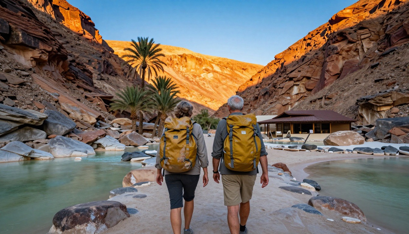
This is a self-sufficient wilderness trek, usually run over about five days, with everything carried, and the pacing tends to be front-loaded: strong groups put in bigger days early while food weight is highest and the terrain is rougher, then ease off as the canyon opens out toward the finish. Camps are wherever you choose to stop on the riverbed, usually near water and on flat sand or gravel, so the day ends when you decide it does rather than at a fixed site. Hot springs on the canyon floor are a natural rest point that many groups build a shorter day around. The route ends at the Ai-Ais resort, so arrange onward transport in advance — the start and finish are hours apart by road.
Plan this trip in 5 steps
-
Pick the right pack
Match a pack to your trip, fit and priorities.
-
Plan food & water
Calories, food weight and water for your days on trail.
Trail-specific tips
Walk early and late, and sit out the hottest hours in whatever shade the canyon offers — heat, not distance, is what breaks people here. Shortcut paths over the river bends save real effort, so learn to spot them. Footwear that drains and copes with both boulders and sand beats anything you're trying to keep dry. Carry a water treatment method you trust, since the river is your only supply. Don't plan on a quick exit: there isn't one. Broader heat and hydration guidance is on /trail-smarts/.
Permits & rules
The multi-day Fish River Canyon Trail requires a permit, a minimum group size and a recent doctor’s medical certificate, and only opens in the cooler months. It can also be closed when the river is high: Namibia Wildlife Resorts notices closed it on 10 July 2026 and reopened it on 17 July 2026 with a slippery-crossing warning, so check NWR notices before you go. It is fully self-sufficient — you carry everything and there is no exit until the end, so be honestly fit and prepared.
Gear suited to this hike
Matched to the terrain and conditions here. Real products — check current price on Amazon.


Seasons, floods and what the official notices say
The page describes a five-day self-sufficient trek. Namibia Wildlife Resorts, the operator of the Ai-Ais resort where the trail ends, posted two notices in July 2026 that show how conditions control access. On 10 July 2026 the operator said Fish River water levels were still receding but too high for the trail to reopen, and that it remained temporarily closed.5 On 16 July 2026 it confirmed the trail would reopen on 17 July 2026 after a water assessment found river levels and flow suitable for hiking, and said hikers should take extra care at river crossings because rocks and other surfaces may still be slippery.1 The site also links a separate document titled Fish River Hiking Precautions, which we did not read in full.
This matters for planning. The trail's status depends on river conditions and can change, so book refundable transport where you can and check the operator's notices close to your date. For camp placement and emergency exits, rely on the operator's precautions document and briefing.
Carrying water in a desert canyon
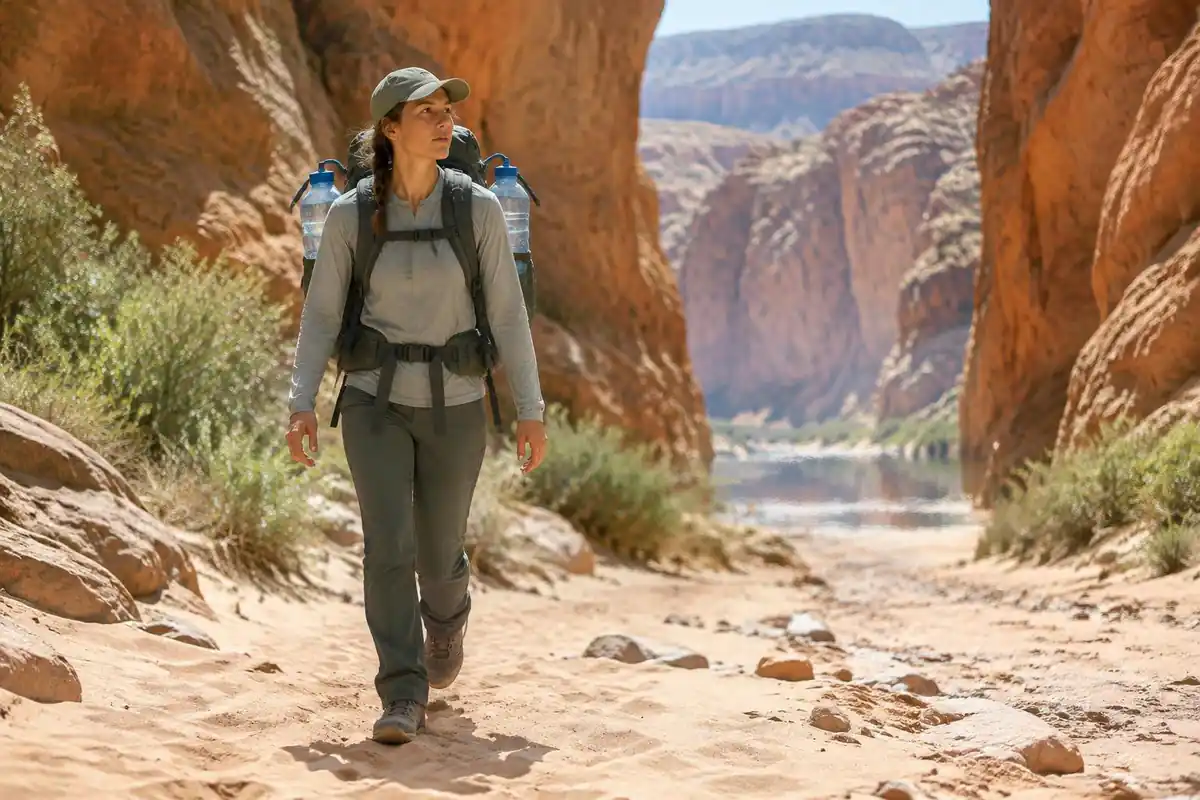
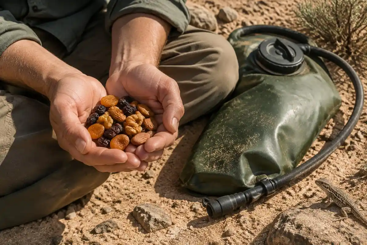
Even beside a river, the water question shapes your pack. The National Park Service's Guadalupe Mountains guidance recommends a gallon of water per person per day in that arid setting, and notes that water weighs about 8 pounds per gallon.2 The USGS puts 1 liter of water at about 1 kilogram.6 That is a Texas figure, not a Namibian one, and it assumes no resupply, so treat it as a way to see the trade-off between carrying water and relying on treated river water rather than a target.
The CDC says water from a clear mountain stream can still contain germs, that boiling for one minute is the best way to kill them, and that most portable filters remove parasites but not viruses or bacteria.3 For a five-day trip, deciding your treatment method before you fly is more useful than deciding your bottle size. Fuel for boiling is part of the weight budget as well.
Heat, sand and self-rescue
Canyon floors trap heat. NIOSH says heat stroke is the most serious heat-related illness, that body temperature can reach 106 degrees Fahrenheit or higher within 10 to 15 minutes and that it can cause permanent disability or death without emergency treatment.4 The National Weather Service adds that heat exhaustion can show as heavy sweating, cool clammy skin, dizziness and nausea.7 Resting in shade during the hottest hours and walking early and late is the standard adjustment.
Rescue is slow in remote terrain. The Park Service says search and rescue can take hours or days.8 Sand is hard on feet: dermatologists advise properly fitting shoes, moisture-wicking socks and stopping when skin becomes painful or red to avoid a blister.9 Pack out toilet paper and hygiene products, and dig catholes far from water, following Leave No Trace guidance in whatever form the operator specifies.10
Common questions
How experienced do I need to be for the Fish River Canyon Trail?
Experienced enough to be genuinely self-reliant. You carry all your food and gear for the full route, there's no resupply, no huts, and no easy way out once you're on the canyon floor. Groups must meet a minimum size and hikers need a recent medical certificate — the rules exist precisely because the terrain gives no second chances.
Is there a marked trail to follow?
Not really. Beyond the initial descent there's no maintained path — you follow the river downstream, picking the easiest line between boulders, sand and gravel. Navigation is straightforward in principle because the canyon does it for you, but route choice within the canyon makes a large difference to how hard each day is.
Why is the trail only open part of the year?
Heat and flood risk. The canyon floor becomes dangerously hot outside the cooler months, with no shade and no escape from it, and summer rain can raise water levels fast in a place where you can't climb out. The trail is open during the cooler window only, and even then it can close when the river is high: Namibia Wildlife Resorts closed it in July 2026 and reopened it only after a water assessment found levels suitable, with a warning about slippery crossings. Check the operator's latest notice before you book flights and shuttles.
Can I do a shorter version?
Not easily. Once you've descended from the rim, the practical way out is to keep going to the finish — the canyon walls don't offer casual exits, and the marked emergency exit points are for emergencies, not a change of plan. Treat this as a committing multi-day trek you complete, not one you can bail on partway.
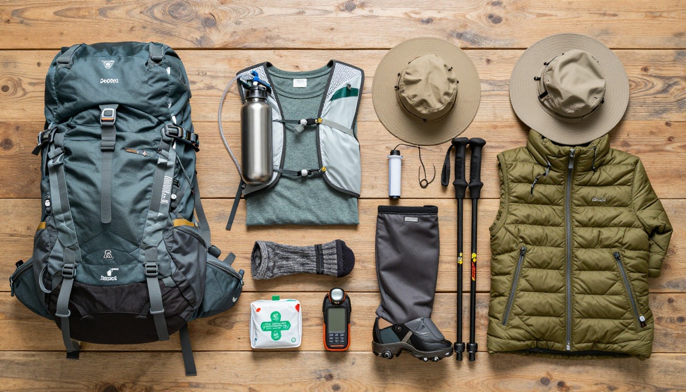
Complete gearsets for this trip
Full curated kits built for exactly this kind of hike.

Trail conditions, permits and access rules change without notice — always confirm current information on the official source above before you go. Some facts on this page are still pending owner verification and are marked accordingly. Product links and the accommodation map are affiliate links: we may earn a commission at no extra cost to you; product prices and availability are shown on Amazon, and accommodation prices on the booking site. See our affiliate disclosure.