
Best Time to Hike CDT — Wind River Range
The best time to hike the CDT through the Wind River Range is July to September, according to the official season guidance. Those months combine the warmest stretch of the year with the lowest July rainfall and long daylight, though conditions still change quickly at altitude.
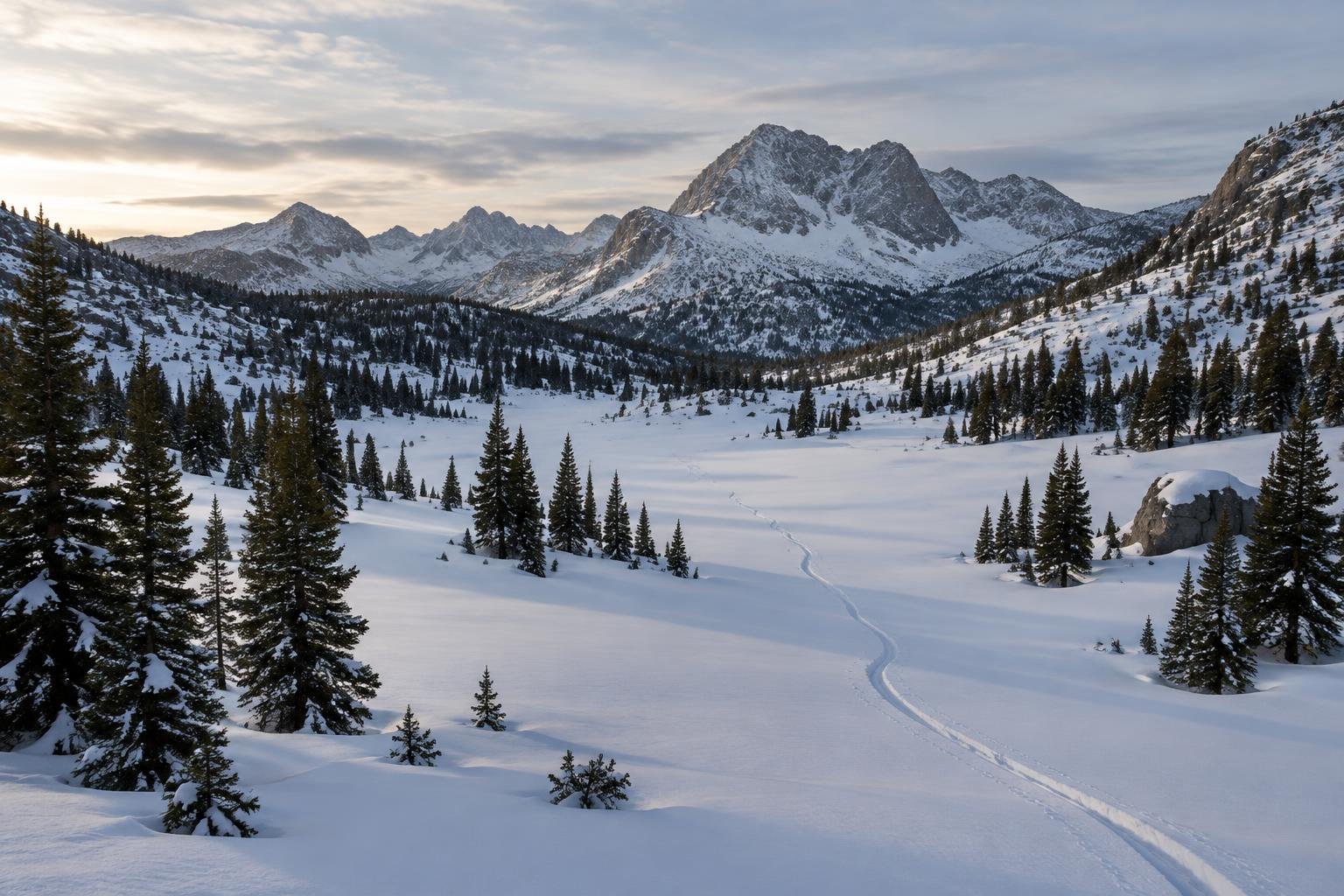
Month-by-month climate for CDT — Wind River Range
| Month | Relative warmth | Rain | Daylight |
|---|---|---|---|
| Jan | Coldest | 46 mm | 9.2 h |
| Feb | Coldest | 52 mm | 10.3 h |
| Mar | Coldest | 46 mm | 11.6 h |
| Apr | Mild | 54 mm | 13.2 h |
| May | Warm | 69 mm | 14.5 h |
| Jun | Warmest | 44 mm | 15.2 h |
| Jul | Warmest | 25 mm | 14.9 h |
| Aug | Warmest | 31 mm | 13.8 h |
| Sep | Warmest | 43 mm | 12.3 h |
| Oct | Mild | 41 mm | 10.8 h |
| Nov | Cool | 46 mm | 9.5 h |
| Dec | Coldest | 53 mm | 8.8 h |
Modelled regional averages for 2010–2023 (rainfall) and calculated daylight hours; they describe the wider area, not a reading taken on the trail. “Relative warmth” compares each month with the warmest and coldest months of this place’s own year. It is not a temperature, and the high parts of a route are colder than the region around them.
The monthly data shows July as the driest month at about 25 mm, followed by August at roughly 31 mm. May is the wettest at around 69 mm, with December, April and February also relatively damp. June through September are the warmest months of this place's own year, while December through March are the coldest. Daylight swings from about 8.8 hours in December to 15.2 hours in June, so late-season days are noticeably shorter. These are modelled regional averages, not trail measurements.
CDT — Wind River Range season by season
Late winter and early spring · January to April
These are the coldest months of the year here, with January through March ranking coldest and April only mild. Daylight is limited, starting near 9.2 hours in January and reaching about 13.2 hours by April, and monthly rainfall typically sits around 46 to 54 mm. This is well outside the official July to September season guidance for this remote high-alpine section, so treat it as a period to plan for rather than to hike. Check with the Forest Service about current conditions.
Late spring · May to June
May is the wettest month in the data at about 69 mm and is only warm, while June turns warmest and drops to roughly 44 mm of rain. Daylight peaks at about 15.2 hours in June, which is appealing for long days. Even so, both months fall before the official July to September window, so the range may not yet be ready for a high-alpine traverse. Conditions at altitude can lag well behind the regional averages, so confirm with the managing authority.
Peak hiking season · July to September
This is the official season and the stretch the data supports best. July and August are the driest at about 25 and 31 mm, and all three months are warmest for the year. Daylight eases from about 14.9 hours in July to 12.3 hours by September, so plan your mileage with a shrinking buffer. Afternoon storms remain a concern in the high country, so start early and know your bailout options.
Autumn and early winter · October to December
October is mild, November cool and December among the coldest months of the year, with rainfall around 41 to 53 mm. Daylight falls from about 10.8 hours in October to just 8.8 hours in December, which sharply limits how far you can travel in a day. These months sit after the official July to September window. Remote terrain and short days make them a poor fit for a high-alpine section, so check with the Forest Service on conditions.
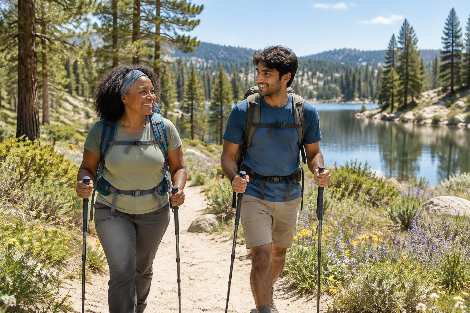
Official season guidance
U.S. Forest Service: July to September
Permit and registration rules differ by wilderness and national forest, so check with the Forest Service before you go. Food storage in bear country is a legal requirement (Forest Order) on the Bridger-Teton National Forest, not just advice, and you must be fully self-sufficient. The Winds are remote and high — many hikers take the rugged Cirque of the Towers high-route variant — so carry proper gear, watch the afternoon storms, and know your bailout options.
Check current dates on fs.usda.gov (Bridger-Teton National Forest, Bridger Wilderness)What to pack for the season
Season shapes the kit. Even in the warm July to September window, pack layers for cool mornings and high-elevation exposure, plus reliable rain cover for afternoon storms and strong sun protection. Shorter late-season days make a headlamp worth carrying. Because the Winds are remote and you must be self-sufficient, bring proper gear and a way to store food as required in bear country.
For layering, rain cover and weather planning, see hiking in rain, heat and cold.
Timing mistakes to avoid
The most common timing mistake is treating a single month as a guarantee. Modelled averages cannot tell you how conditions are on a specific high-alpine stretch, so rely on the official July to September guidance and check with the Forest Service before you go. Another error is ignoring shrinking daylight late in the season, or heading out early or late when the range may not be ready. Assuming permit, registration and food storage rules are the same everywhere also causes trouble, since they differ by wilderness and national forest.
Common questions
When is the best month to hike the CDT in the Wind River Range?
The official season runs July to September. Within it, July is the driest month in the data at about 25 mm, while all three months are the warmest of the year. Conditions still vary at altitude, so confirm timing with the Forest Service before committing to dates.
Is the Wind River Range hikeable outside July to September?
The official season guidance is July to September, and the data shows October through April running mild to coldest with shorter days. Because this is a remote high-alpine section, going outside the window means less margin. Check with the managing authority about current conditions before planning anything earlier or later.
How much daylight can I expect on the trail?
Daylight is longest in June at about 15.2 hours and shortest in December at about 8.8 hours. Within the July to September season it falls from roughly 14.9 hours to 12.3 hours. Plan daily mileage around the shorter days toward the end of the season.
Does it rain much during the best hiking season?
Rainfall is relatively low in the official window, averaging about 25 mm in July, 31 mm in August and 43 mm in September, based on modelled regional data. Afternoon storms are still a concern at altitude, so carry rain cover and watch the sky.
Sources
- U.S. Forest Service — fs.usda.gov (Bridger-Teton National Forest, Bridger Wilderness): official season and permit guidance.
- NASA POWER (Prediction Of Worldwide Energy Resources): monthly temperature and rainfall averages, 2010–2023, from MERRA-2 reanalysis. Daylight hours are calculated from latitude.
Conditions, closures and permit rules change without notice — confirm current information with the managing authority before you go. See our editorial policy and affiliate disclosure.