
Hikes in Australia
Hikes in Australia range from a 6.3 km Grade 3 loop in the Blue Mountains to the 223 km Larapinta Trail through the Red Centre. The four trails here include loops, point-to-point routes and a thru-hike, with official seasons that run from year-round to cooler-month or summer-only windows.
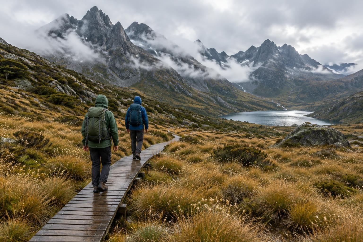
These four Australian trails cover very different landscapes and commitments. The Blue Mountains Grand Canyon Track is a 6.3 km formed-track loop in New South Wales, while Mount Kosciuszko's Main Range is a 22 km Grade 4 loop that reaches the summit in the Snowy Mountains. At the long end, the Overland Track in Tasmania is a roughly 65 km, six-day thru-hike with a booked season, and the Larapinta Trail in the Northern Territory is a 223 km point-to-point route usually walked in sections. Each is managed by a state or territory park authority.
The routes at a glance
-
Overland Track · Cradle Mountain · Tasmania, Australia
The Overland Track is a roughly 65 km thru-hike from Ronny Creek at Cradle Mountain to Narcissus Hut at Lake St Clair, typically taking six days. It is a strenuous alpine trek through remote, exposed high country, so it suits walkers with solid bushwalking self-sufficiency who are comfortable with the booked season and daily walker caps.
- Distance
- ~65 km, point-to-point (Ronny Creek/Cradle Mountain to Narcissus Hut/Lake St Clair), typically 6 days
- Difficulty
- Strenuous multi-day alpine trek (Parks Tasmania caps daily walker numbers and expects solid bushwalking self-sufficiency; remote, exposed high country)
- Official season
- The booked season runs roughly October to May
-
Larapinta Trail · Red Centre · Northern Territory, Australia
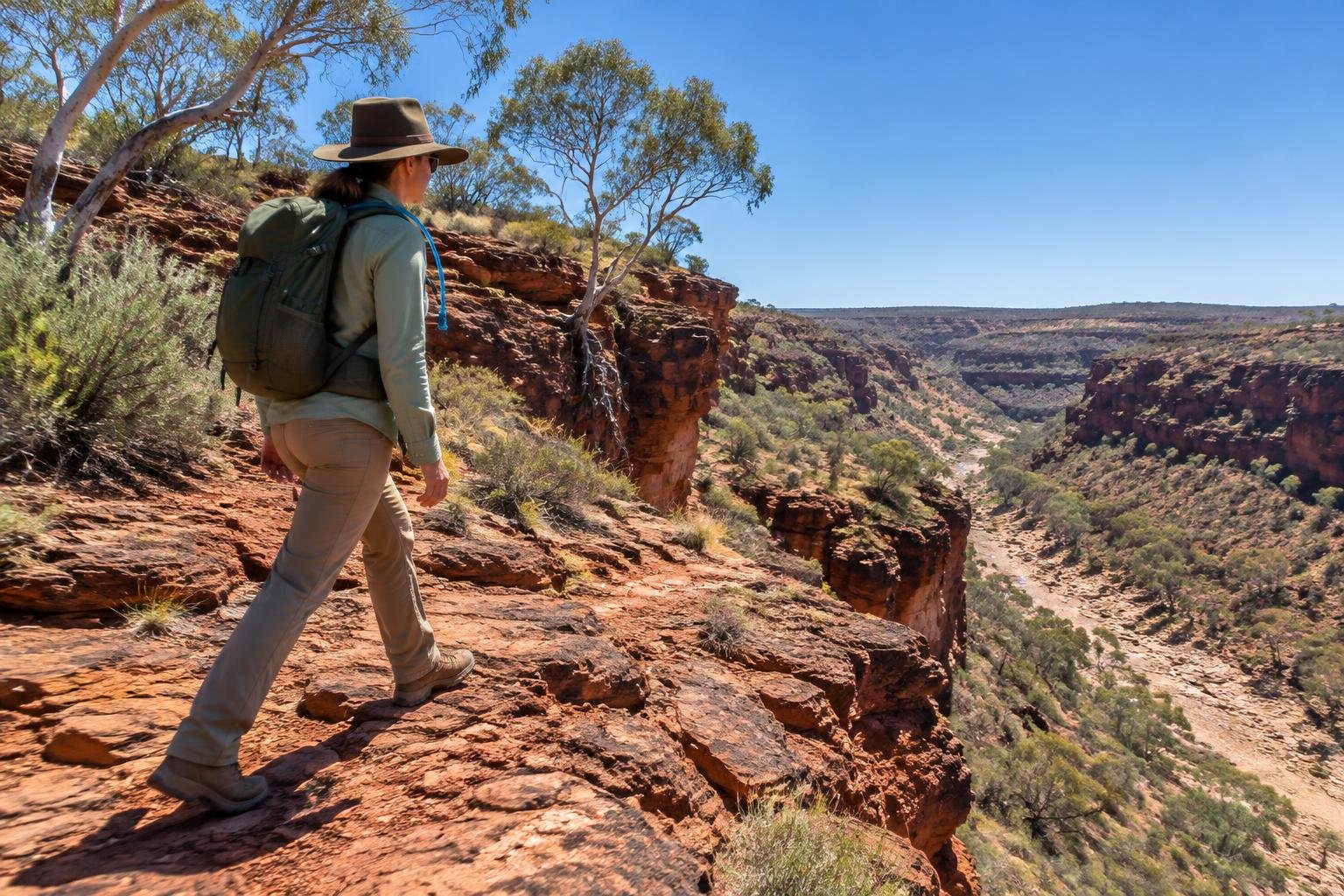
The Larapinta Trail runs 223 km point-to-point from Alice Springs/Simpsons Gap to Mount Sonder, usually walked in sections across 12 stages. NT Parks grades sections from Class 2 to Class 5, so it suits hikers who want to pick stages to match their experience and who respect the cooler-month season.
- Distance
- 223 km, point-to-point (Alice Springs/Simpsons Gap to Mount Sonder), usually walked in sections across 12 stages
- Difficulty
- Difficult overall as a through-hike; NT Parks grades individual sections from Class 2 (easier) to Class 5 (very hard/exposed), and summer heat plus water scarcity add serious risk
- Official season
- Cooler months, May to September (summer is dangerously hot)
-
Mount Kosciuszko — Main Range · Snowy Mountains · NSW, Australia
This 22 km loop starts and ends at Charlotte Pass car park and passes over the Mount Kosciuszko summit. Graded 4 (hard) by NSW National Parks for steep, rough alpine terrain, it suits fit hikers wanting a demanding day in the Snowy Mountains, with summer the main walking season.
- Distance
- 22 km loop, starting and ending at Charlotte Pass car park, via the Mount Kosciuszko summit
- Difficulty
- Grade 4 / hard (official NSW National Parks grading: steep, rough and demanding alpine terrain)
- Official season
- Summer (December–March); winter is a snow trip
-
Blue Mountains — Grand Canyon Track · Blue Mountains · NSW, Australia
The Grand Canyon Track is a 6.3 km loop in the Blue Mountains, graded 3 (moderate) by NSW National Parks, with short steep hills and many steps on a formed track. It suits hikers wanting a shorter day walk, and it is open year-round.
- Distance
- 6.3 km loop (NSW National Parks' own figure; some third-party sites round to 6.5 km)
- Difficulty
- Grade 3 / moderate (official NSW National Parks grading: short steep hills, many steps, formed track)
- Official season
- Year-round; spring and autumn are loveliest
How to choose between them
Start with time and commitment. The Grand Canyon Track is a 6.3 km Grade 3 loop, the shortest option here. The Mount Kosciuszko Main Range is a longer 22 km loop but is graded 4 and demanding. The Overland Track and the Larapinta Trail are multi-day undertakings: the Overland is a roughly 65 km thru-hike with a booked season and daily walker numbers capped, while the Larapinta can be broken into sections across 12 stages with Class 2 to Class 5 grading. Choose by how much remoteness, exposure and self-sufficiency you are prepared for.
When to go
The official seasons spread across the year. The Overland Track's booked season runs roughly October to May. The Larapinta Trail is recommended in the cooler months, May to September, because summer is dangerously hot. Mount Kosciuszko's Main Range is a summer walk, December to March, while winter turns it into a snow trip. The Grand Canyon Track is open year-round, with spring and autumn described as loveliest. Confirm dates, closures and booking rules with each managing authority before you plan.
Common questions
Which Australian hike here is the shortest?
The Blue Mountains Grand Canyon Track is the shortest, a 6.3 km loop graded 3 (moderate) by NSW National Parks. It has short steep hills, many steps and a formed track, and it is open year-round.
Which of these are multi-day hikes?
The Overland Track in Tasmania is a roughly 65 km thru-hike typically taking six days. The 223 km Larapinta Trail in the Northern Territory is usually walked in sections across 12 stages.
When is the best time for the Larapinta Trail?
The official season is the cooler months, May to September. Summer is described as dangerously hot, and water scarcity adds serious risk, so check current conditions with NT Parks and Wildlife.
Is Mount Kosciuszko a hard hike?
NSW National Parks grades the Main Range loop as Grade 4 (hard), with steep, rough and demanding alpine terrain over 22 km. Summer, December to March, is the walking season, and winter is a snow trip.
Sources
Facts come from each route's official managing authority, linked on its trail guide:
- Tasmania Parks & Wildlife Service — parks.tas.gov.au (Overland Track) (Overland Track)
- NT Parks and Wildlife — northernterritory.com (Tourism NT, Larapinta Trail) (Larapinta Trail)
- NSW National Parks & Wildlife Service — nationalparks.nsw.gov.au (Kosciuszko National Park) (Mount Kosciuszko — Main Range)
- NSW National Parks & Wildlife Service — nationalparks.nsw.gov.au (Grand Canyon Track) (Blue Mountains — Grand Canyon Track)
Conditions, permits and access rules change without notice — confirm current information with each managing authority before you go. See our editorial policy.