
Affiliate disclosure: this page contains affiliate links. Purchases made through them may earn us a commission at no extra cost to you. See our affiliate disclosure.
In plain English
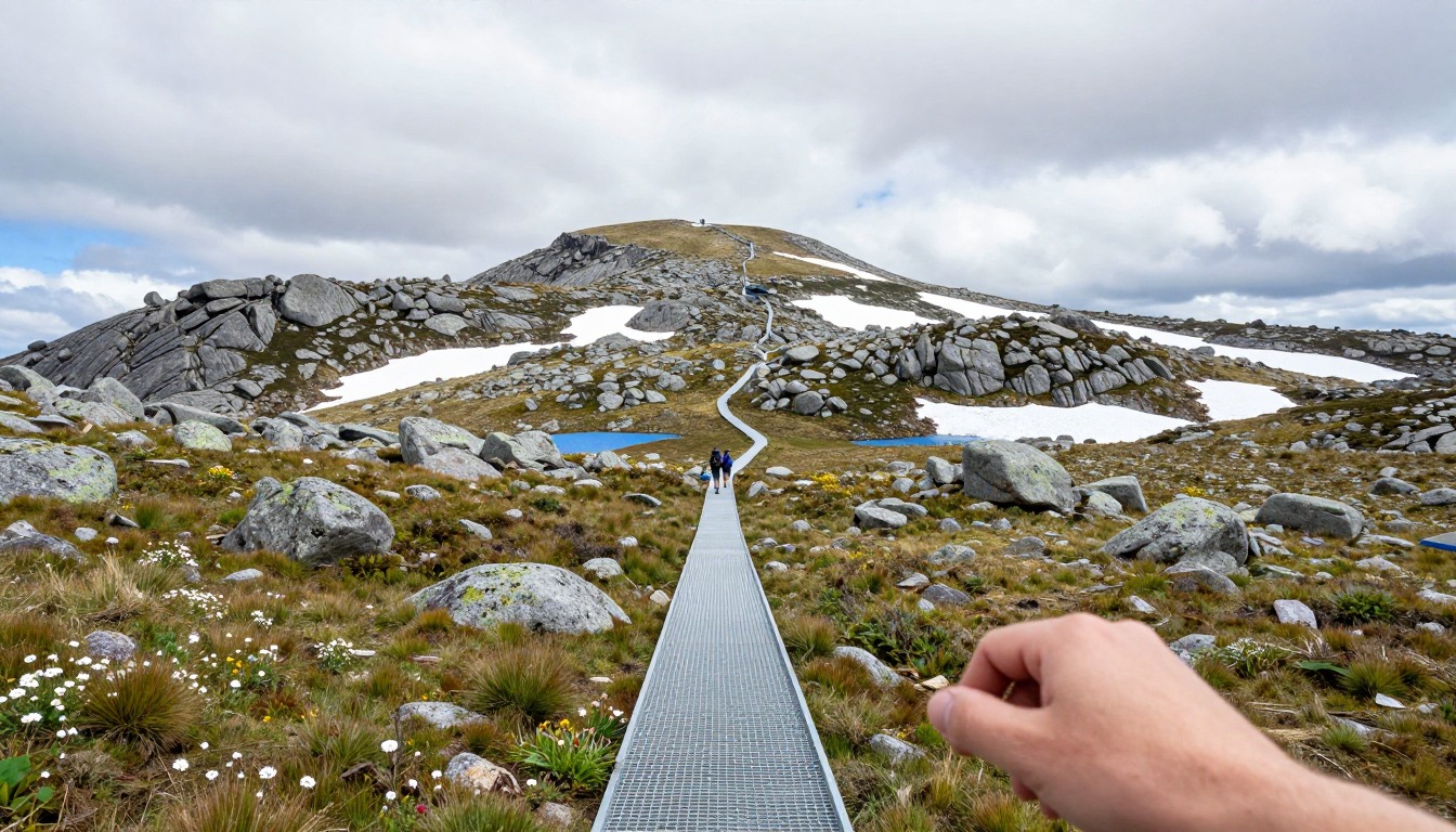
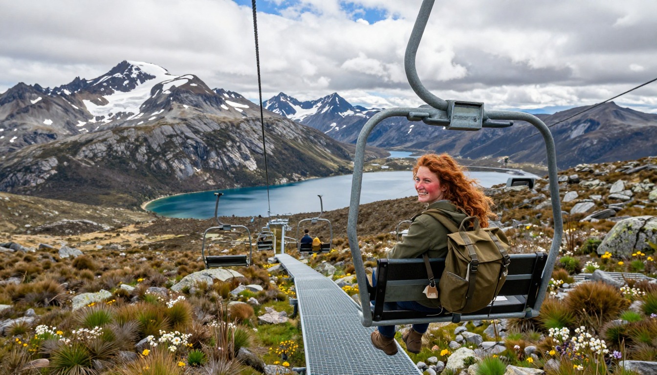
Mount Kosciuszko is the highest mountain in mainland Australia. From the ski town of Thredbo, a chairlift takes you up above the trees and you walk on a raised steel-mesh path across fragile alpine meadow. It is one of the easiest ways to reach a high summit anywhere. The long loop from Charlotte Pass is much harder.
Even though the ground is easy, the setting is not. There are no trees to hide behind. Wind, cold rain and sun all hit you directly. Think of it as a giant open field at the top of a mountain, where the weather is the main risk rather than steepness.
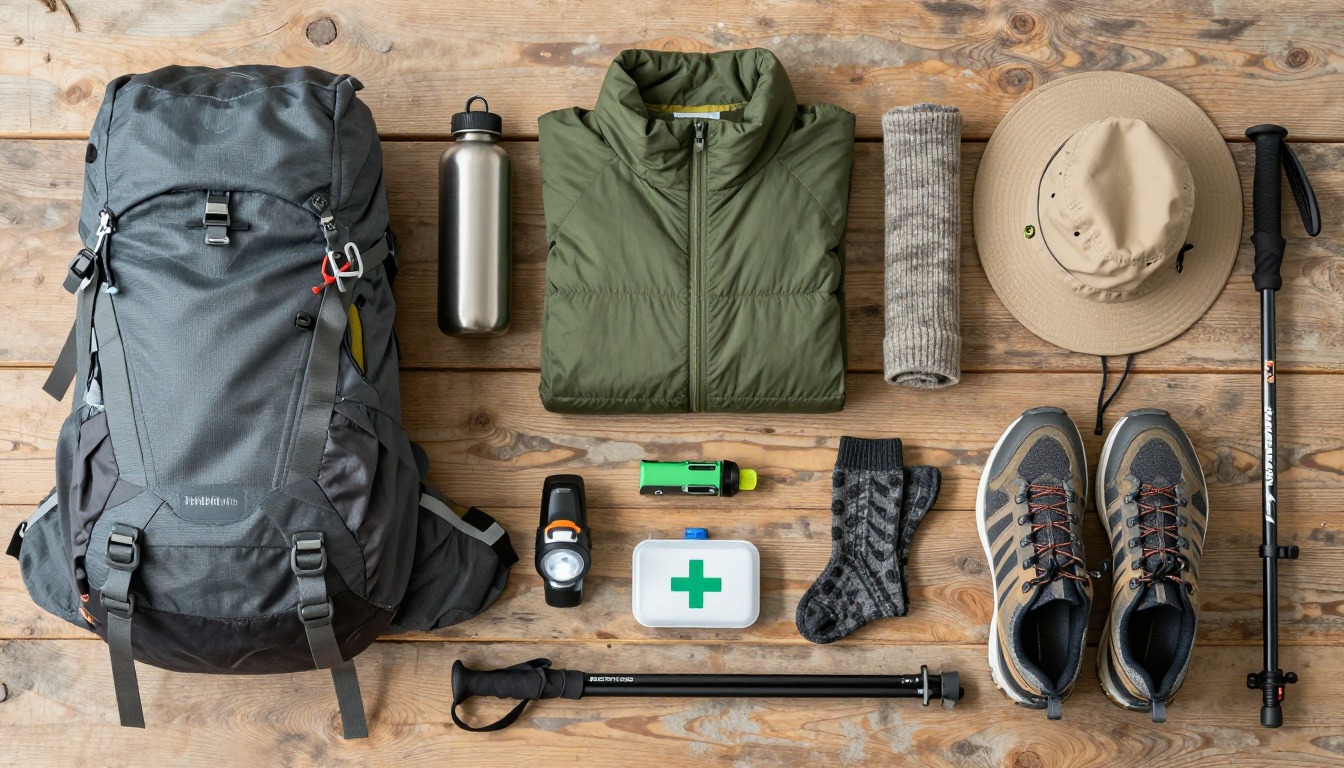
A daypack is enough. Carry water, food, a warm layer, a waterproof jacket, a hat and sunscreen. Start early, because afternoon storms and changing weather are more of a problem than the walk itself.
What the hike is like
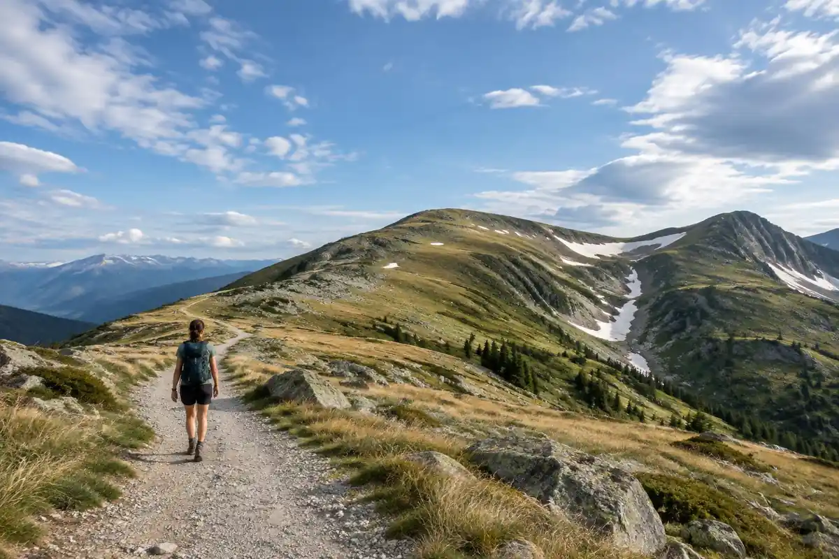
Underfoot, this is one of the most engineered summit walks anywhere. From Thredbo the chairlift lifts hikers above the treeline and the route continues on a raised steel-mesh walkway laid across the herbfields — a surface that keeps boots off ground too fragile to take foot traffic, and which makes the walking almost effortless while the views do all the work. From Charlotte Pass the approach is longer, on a wide management trail, and the fuller Main Range circuit swings away from that trail onto rougher alpine path past glacial lakes sitting in ice-carved bowls. The summit itself is a broad, rounded rise rather than a peak with a sharp top. What defines the route is exposure rather than steepness: open, treeless country with nothing to shelter behind once you are up there.
How to plan the itinerary
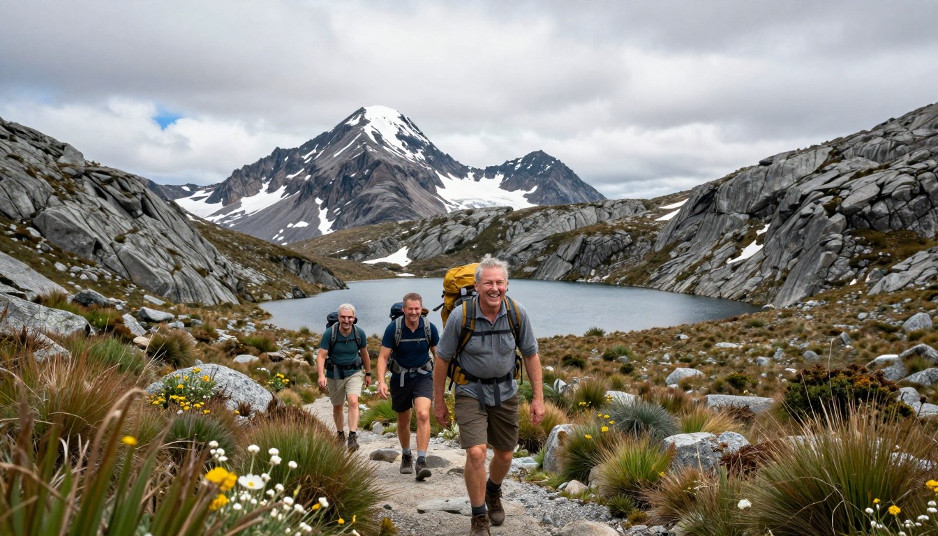
Almost everyone does this as a day walk, and the main choice is which end you start from. The Thredbo version is the short one, sized to the chairlift's operating hours — take the lift up, walk out and back along the raised walkway, and ride down with time to spare. From Charlotte Pass the return trip is longer and feels more remote, with fewer people on it. Hikers who want the whole landscape rather than just the high point walk the Main Range circuit, which loops past the lakes and takes a full, committed day rather than a casual one. Whichever version you pick, start early: alpine weather here is most settled in the morning, and an early finish leaves room if the walk runs longer than planned.
Plan this trip in 5 steps
-
Pick the right pack
Match a pack to your trip, fit and priorities.
-
Book a place to stay
Campgrounds, huts and lodges near Mount Kosciuszko — Main Range.
-
Plan food & water
Calories, food weight and water for your days on trail.
Trail-specific tips
The gentle grade fools people into under-packing. Above the treeline there is nothing to shelter behind, and a warm, still morning can turn into cold wind and horizontal rain within the hour, so carry a windproof shell and a warm layer even on a summer forecast. Sun at this elevation is fierce and the open herbfields offer no shade at all. Stay on the raised walkway and formed track — the herbfields recover very slowly from boots. If you are attempting the full circuit, be honest about daylight before you commit to the loop rather than the out-and-back.
Permits & rules
No permit is needed for the day hike (a park entry fee applies to drive in). The route to the summit is gentle by mountain standards, but it is exposed alpine country where cold, wind and cloud can arrive fast even in summer — carry layers.
Gear suited to this hike
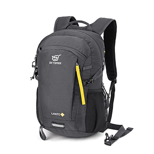
Matched to the terrain and conditions here. Real products — check current price on Amazon.


Alerts, access and the summit walk
NPWS describes Kosciuszko as NSW's largest national park and points to the Main Range walk as the summer way to climb Australia's highest mountain.1 Its park page carries an alerts panel covering safety alerts, planned events and closed areas, which is where road, track and fire closures are posted.1 Confirm lift hours with the operator, and check road conditions and any fire or weather closures with NPWS before driving up.
Exposure is the real hazard
Open, treeless country puts you at the mercy of the sky. The EPA says UV intensity increases about 6% per kilometer of elevation and overcast skies still transmit about 31% of UV, with broken clouds about 73%.2 CDC notes that UV exposure still occurs in cooler weather and on overcast days.5 Sunscreen, a hat and sunglasses are essential kit here, not extras.
Lightning is the second exposure risk. The National Weather Service says there is no safe place outdoors during a thunderstorm and that if you can hear thunder you are likely within striking distance; delaying the move to shelter contributes to many US lightning deaths and injuries.3 On a summit with no shelter and a long walk back, the practical response is to check the forecast and leave early enough that the turnaround decision is easy.
Layers, pack size and the loop decision
Alpine weather can be cold and wet even in summer. The National Park Service recommends layers that let you add or remove clothing, and it suggests wool or synthetic over cotton because wet cotton will not keep you warm.6 CDC says hypothermia can develop above 40°F if chilled by rain or sweat.7 A compact shell and a fleece or insulated layer fit easily in a small daypack.
The full Main Range loop is a much longer day than the out-and-back. NPS suggests planning uphill sections at double the downhill time and setting a turnaround time and sticking to it.4 Choose the loop only if you have the fitness, daylight and a settled forecast, as the page says; pack a headlamp regardless, since NPS recommends it as the hands-free light source.8
Common questions
Is the chairlift essential, or can I walk up?
It is optional but it changes the day completely, removing most of the climbing from the Thredbo side. Without it you either climb that ground on foot or start from Charlotte Pass instead, which is a longer walk on different terrain. Check the lift's operating season and hours, since it does not run year-round.
Is this an easy hike or am I being told a story?
It is genuinely gentle by mountain standards — no scrambling, no route-finding, and a raised walkway for much of the Thredbo route. It is still a long day out in exposed alpine country, and the full Main Range circuit is a serious walk. 'Easy underfoot' and 'easy overall' are different claims.
Can I hike it outside summer?
Outside the summer window this becomes a snow trip requiring winter skills, navigation in whiteout conditions and proper equipment — a different undertaking from the walk described here. Access roads can also be affected by snow and closures, so check conditions with the park service before driving up at any time of year.
Should I do the out-and-back or the Main Range loop?
The out-and-back gets you the summit with modest effort and suits most visitors. The loop past the glacial lakes shows far more of what makes this alpine area unusual, at the cost of a much longer day. Choose the loop only if you have the fitness, the daylight and a settled forecast.
Complete gearsets for this trip
Full curated kits built for exactly this kind of hike.

Trail conditions, permits and access rules change without notice — always confirm current information on the official source above before you go. Some facts on this page are still pending owner verification and are marked accordingly. Product links and the accommodation map are affiliate links: we may earn a commission at no extra cost to you; product prices and availability are shown on Amazon, and accommodation prices on the booking site. See our affiliate disclosure.